Nature · Kitob District
Kitab State Geological Reserve
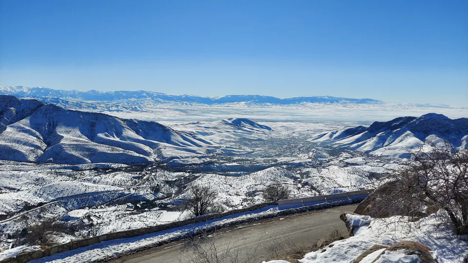
The petrified pages of a Devonian sea
district · Kashkadarya Region
A district in the region’s north-east with the Zarafshan and Hisor mountains, the Takhtakaracha Pass, the Kitab Geological Reserve, the latitude station and the ruins of ancient Nautaka.
Kitob District lies in the north-east of Kashkadarya Region, bordering Chiroqchi and Shahrisabz districts, Samarkand Region and Tajikistan. Created in 1926, it was merged with Shahrisabz District in 1962 and re-established on 25 December 1968. It covers 1,750 km² and had 287,700 people in 2025; the centre is the town of Kitob.
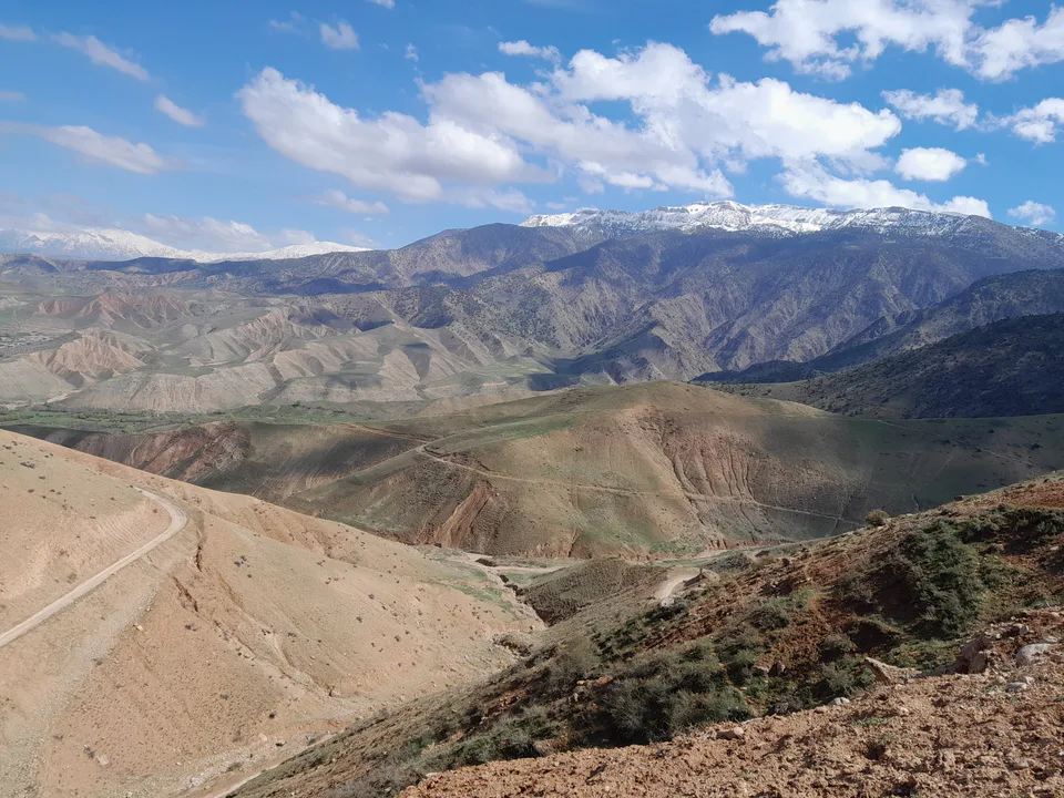
Most of the district is taken up by the Zarafshan and Hisor mountains, rising to 4,000 m, which shelter it from cold winds and give it the mildest climate in the region, with about 545 mm of rain a year. The Great Uzbek Highway south from Samarkand crosses the district over the 1,788-metre Takhtakaracha Pass.
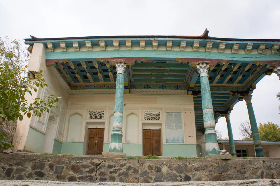
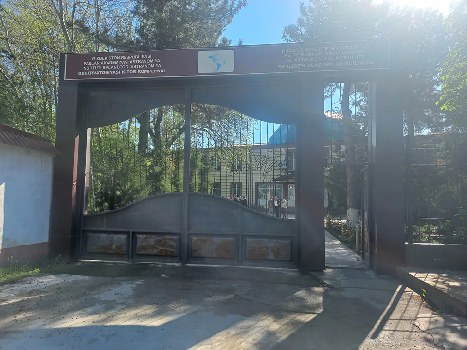
Kitob town is home to the international latitude station opened in 1930, and the mountains to the east hold the Kitab Geological Reserve, founded in 1979. The Hazrati Bashir shrine stands on a juniper-clad hill in Bashir village. Near the village of Kumyrtepa lie the ruins of ancient Nautaka, Padayaktepa, Uzunkyr and Sangirtepa, where a Zoroastrian temple, one of the oldest religious buildings in Central Asia, has been excavated.
Kitob District
Nature · Kitob District
The petrified pages of a Devonian sea
Pilgrimage site · Kitob District
A Yasawi sheikh’s shrine on a juniper-covered hill
Modern · Kitob District
The observatory that tracked the wobble of the Earth’s pole
Kitob District
Airport, railway station and bus stations — addresses, timetables and the live board.
All transportShahrisabz Nearest point: Shahrisabz, 8 km
12°partly cloudy
Weather: MET Norway
Kitob District
Khokimiyat, public service centre and other offices: addresses, phones, hours.
All offices (5)Khokimiyat
32 Katta Yul St, Kitob District
Read morePublic Service Centre
53 Tabassum St, Buston Mahalla, Kitob District
Read more
city · Heir to Nakhshab and Nasaf, a 2,700-year-old regional capital
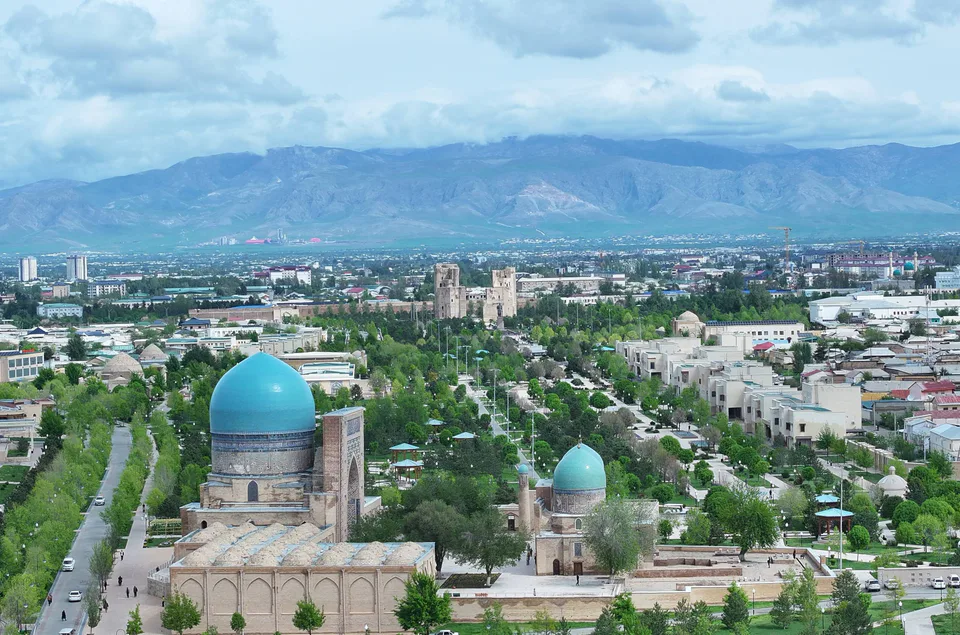
city · The “green city”, birthplace of Timur
district · A former beglik and the Siypantosh rock art
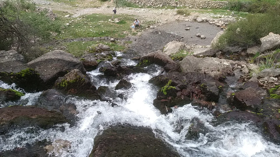
district · Salt deposits and the western spurs of the Hisor Range
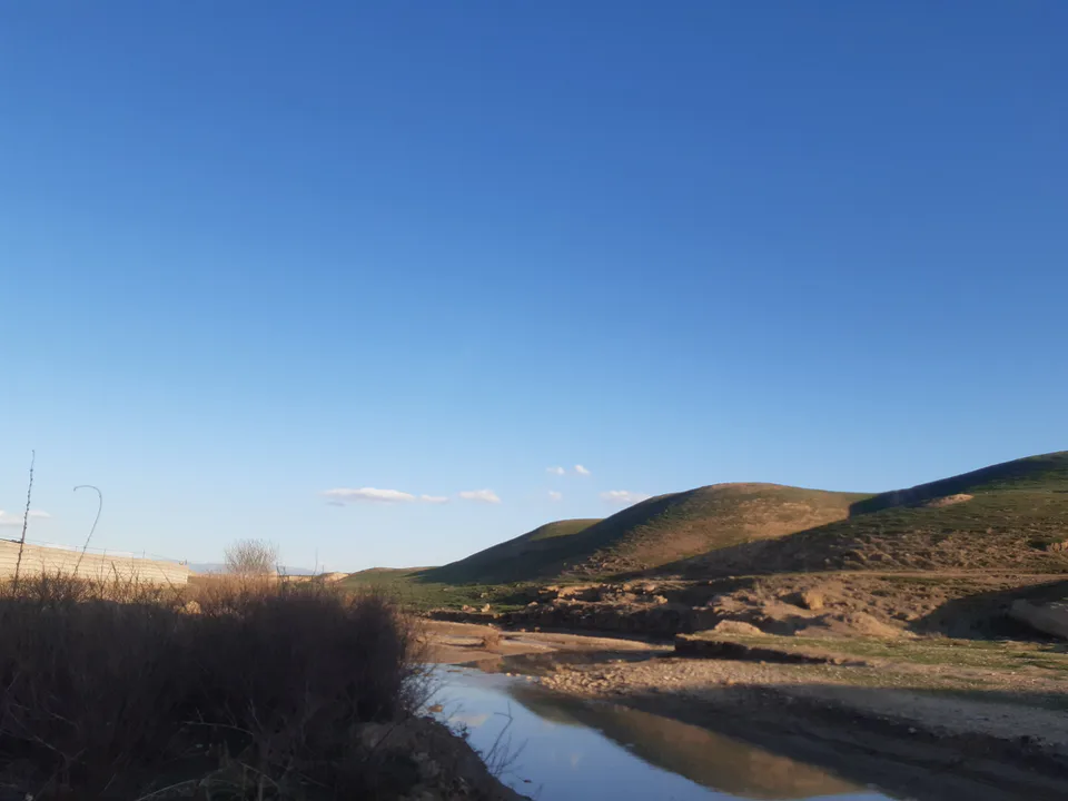
district · A caravan crossroads and the Sho‘rtan gas field
district · Irrigated farming on the Qarshi steppe
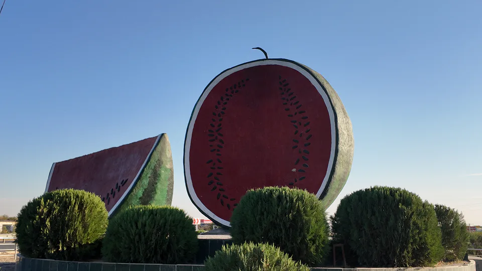
district · The region’s youngest district, created in 2022
district · An ancient oasis on the lower Kashkadarya
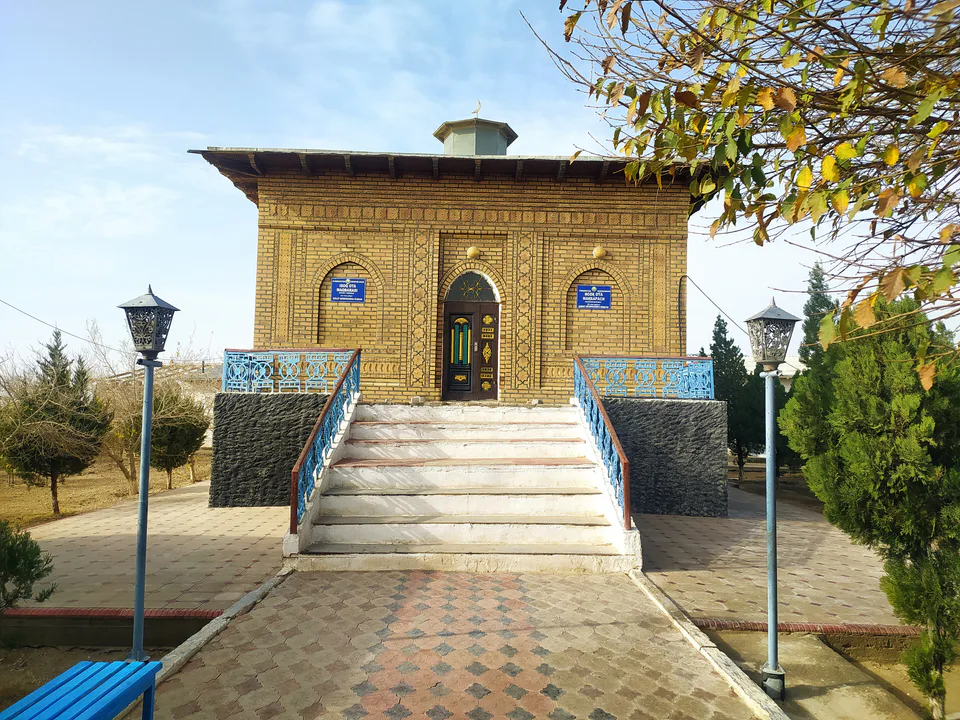
district · The western edge of the Qarshi steppe, on the Turkmen border
district · One of the capitals of Uzbekistan’s gas industry
district · The Tallimarjon reservoir and the southern Qarshi steppe
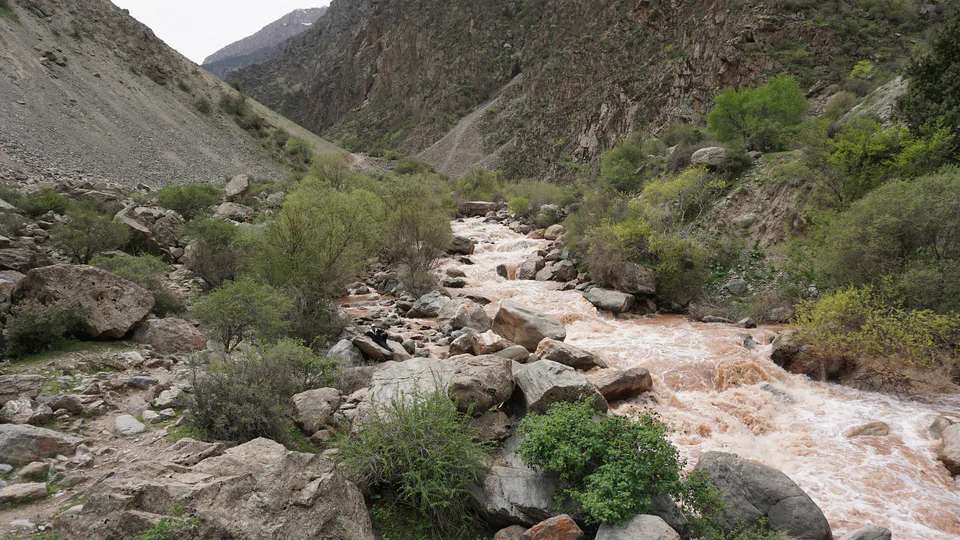
district · From the Qarshi steppe to the Hisor peaks
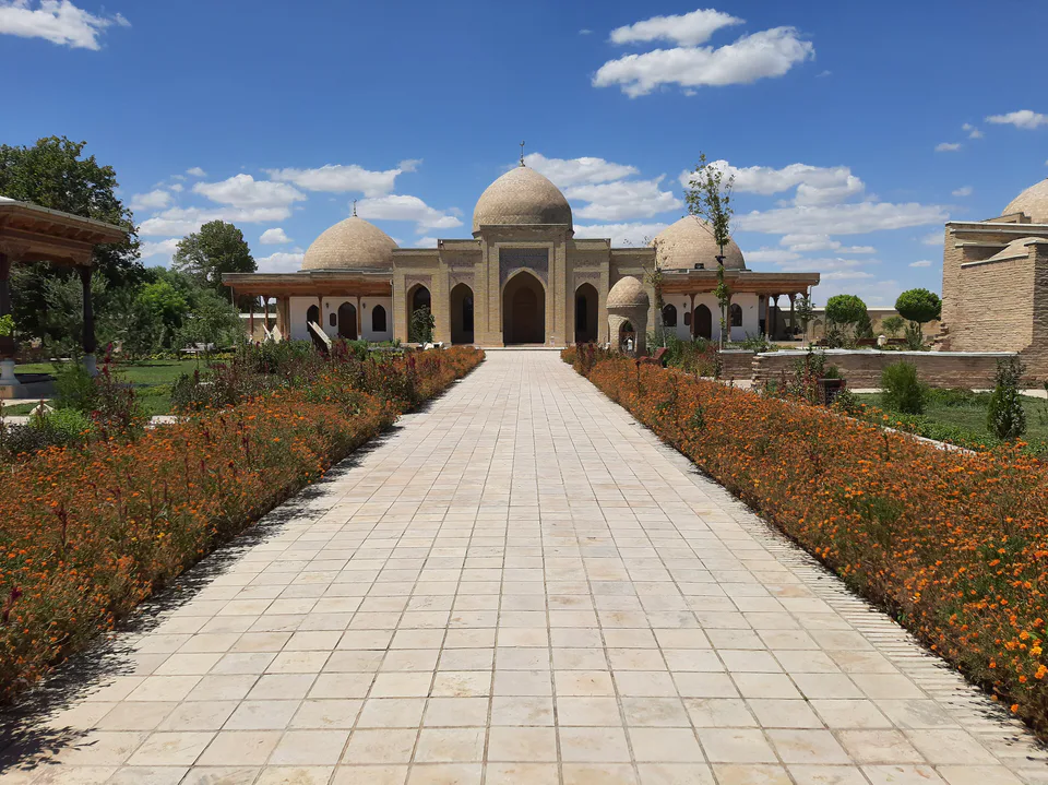
district · The lower Kashkadarya around the regional capital
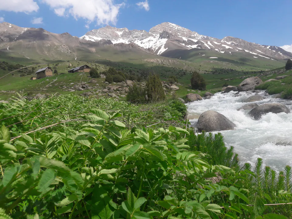
district · Hisor foothills, Miraki and the headwaters of the Kashkadarya
district · Home to Khoja Ilgar, the village where Timur was born