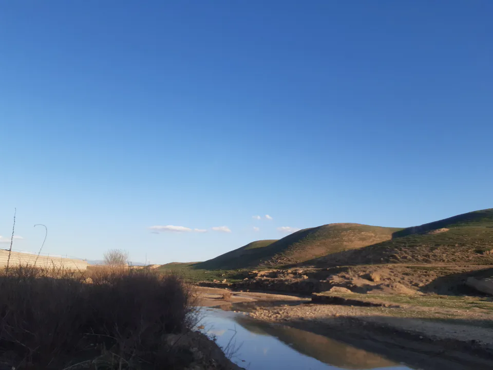
district · Kashkadarya Region
G‘uzor District
A district in the region’s south-east with the Guzordaryo basin, the Pachkamar reservoir, the Sho‘rtan gas-chemical complex and a Second World War Polish military cemetery.
Photo: Gulshoda Safarova · CC BY-SA 4.0 · Wikimedia Commons
Setting and nature
G‘uzor District lies in the south-east of Kashkadarya Region, in the Guzordaryo basin among the G‘uzor foothills and plains. It borders Qamashi and Chiroqchi to the north, Dehqonobod to the east and Qarshi and Nishon to the west, with the Turkmen border 25 km to the south. It covers 2,620 km² and had 212,400 people in 2022; the centre is the town of G‘uzor. The district was created on 29 September 1926.
The Langar–Qorael hills, the last south-western spurs of the Hisor Range, rise to 800–850 m along the shores of the Pachkamar reservoir.
History and today
G‘uzor has long stood on the road linking the Qarshi oasis through the Iron Gate with Termez and Hisor, and under the Bukhara Emirate it was the seat of the G‘uzor beglik. In 1942 Polish units of Anders’ Army were stationed here, and a Polish war cemetery survives in the town. The Mirijanda Ota Mausoleum near G‘uzor is a protected heritage site.
Today the gas industry dominates the local economy: the Sho‘rtan field and the Sho‘rtan gas-chemical complex, opened in 2001, are in the district, and the local football club Sho‘rtan is known nationwide.
Sources (3)
G‘uzor District
Getting there
Airport, railway station and bus stations — addresses, timetables and the live board.
All transportQarshi Nearest point: Qarshi, 48 km
13°clear sky
- 13° / 11°
- 2.1 m/s
- 46%
- Today13°11°
- Mon21°7°
- Tue21°7°
- Wed16°9°
- Thu17°6°
Weather: MET Norway
G‘uzor District
Where to stay and eat
Checked hotels and places to eat — with addresses, phone numbers, opening hours and price levels.
G‘uzor District
Government offices
Khokimiyat, public service centre and other offices: addresses, phones, hours.
All offices (4)Khokimiyat
Guzar District Khokimiyat
14 Mustaqillik St, Guzar, Guzar District
Read morePublic Service Centre
Guzar District Public Services Centre
42 Uzbekistan St, Guzar District
Read more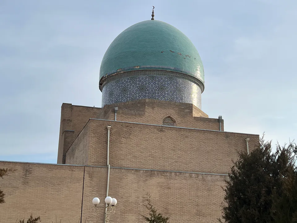
Qarshi City
city · Heir to Nakhshab and Nasaf, a 2,700-year-old regional capital
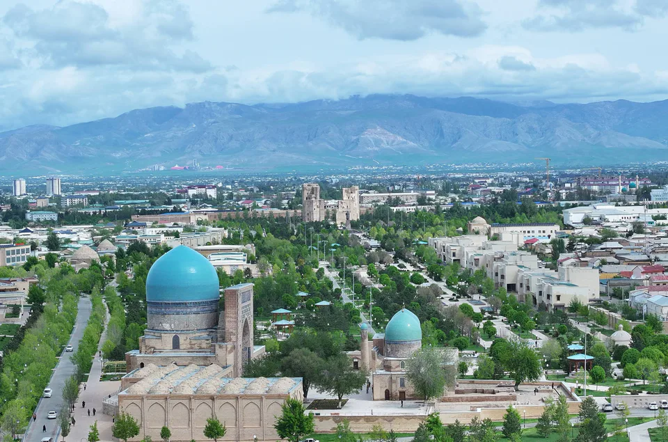
Shahrisabz City
city · The “green city”, birthplace of Timur
Chiroqchi District
district · A former beglik and the Siypantosh rock art
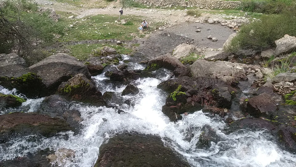
Dehqonobod District
district · Salt deposits and the western spurs of the Hisor Range
Kasbi District
district · Irrigated farming on the Qarshi steppe
Kitob District
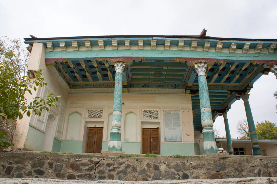
district · A foothill oasis with the mildest climate in the region
Ko‘kdala District
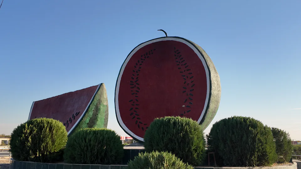
district · The region’s youngest district, created in 2022
Koson District
district · An ancient oasis on the lower Kashkadarya
Mirishkor District
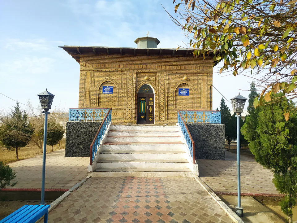
district · The western edge of the Qarshi steppe, on the Turkmen border
Muborak District
district · One of the capitals of Uzbekistan’s gas industry
Nishon District
district · The Tallimarjon reservoir and the southern Qarshi steppe
Qamashi District
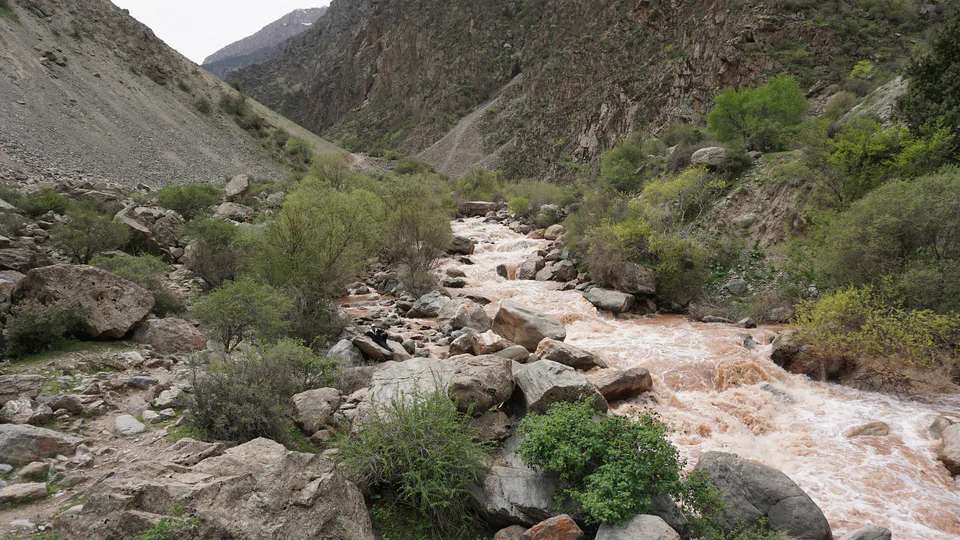
district · From the Qarshi steppe to the Hisor peaks
Qarshi District
district · The lower Kashkadarya around the regional capital
Shahrisabz District
district · Hisor foothills, Miraki and the headwaters of the Kashkadarya
Yakkabog District
district · Home to Khoja Ilgar, the village where Timur was born