Mausoleum · Muborak District
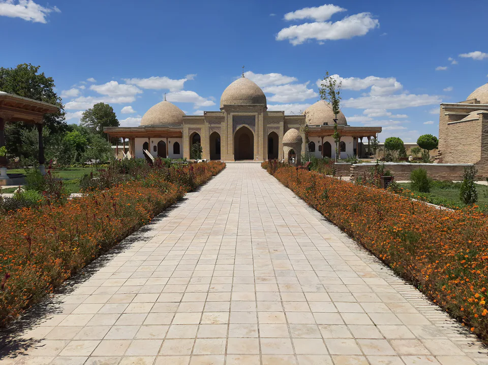
Mubarak Mervazi Mausoleum
A symbolic tomb for a renowned hadith scholar
district · Kashkadarya Region
A district in the region’s north-west with oil and gas fields, the Muborak gas processing plant (1971), the Muborak wildlife sanctuary and the 14th-century Mubarak Mervazi Mausoleum.
Muborak District was created on 13 September 1978. It borders Bukhara Region to the west, Navoi and Samarkand regions to the north, Koson District to the east and Kasbi and Mirishkor to the south. It covers 3,070 km² and had 95,400 inhabitants in 2025, most of them town dwellers; the centre is the town of Muborak.
Lying on the lower Kashkadarya in the Qarshi steppe zone, the land is made up of plains, foothills and low ridges at 450–550 m. Summers are long and hot, reaching 42 °C in July, and rainfall is 190–200 mm a year.
South Muborak, North Muborak and other oil and gas fields lie here, and the Muborak gas processing plant, opened in 1971, is one of the largest industrial sites in the region and the country. The Muborak state wildlife sanctuary in the north-west protects desert habitats, while the 14th-century Mubarak Mervazi Mausoleum in Sariqqishloq commemorates the 8th-century scholar Abdullah ibn al-Mubarak.
Muborak District
Muborak District
Airport, railway station and bus stations — addresses, timetables and the live board.
All transportQarshi Nearest point: Qarshi, 70 km
11°clear sky
Weather: MET Norway
Muborak District
Khokimiyat, public service centre and other offices: addresses, phones, hours.
All offices (4)Khokimiyat
15/1 Zanjirsaroy Ave, Mubarek, Mubarek District
Read morePublic Service Centre
15/1 Zanjirsaroy Ave, Mubarek District
Read more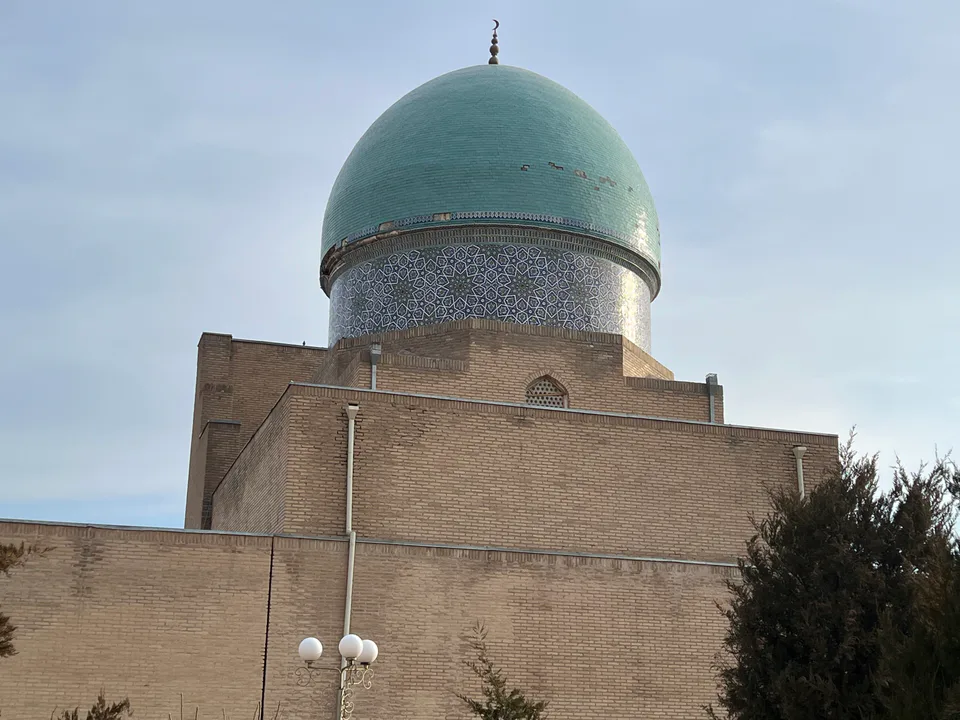
city · Heir to Nakhshab and Nasaf, a 2,700-year-old regional capital
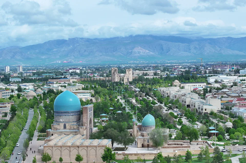
city · The “green city”, birthplace of Timur
district · A former beglik and the Siypantosh rock art
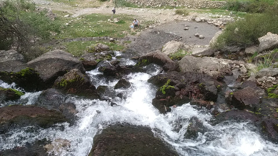
district · Salt deposits and the western spurs of the Hisor Range
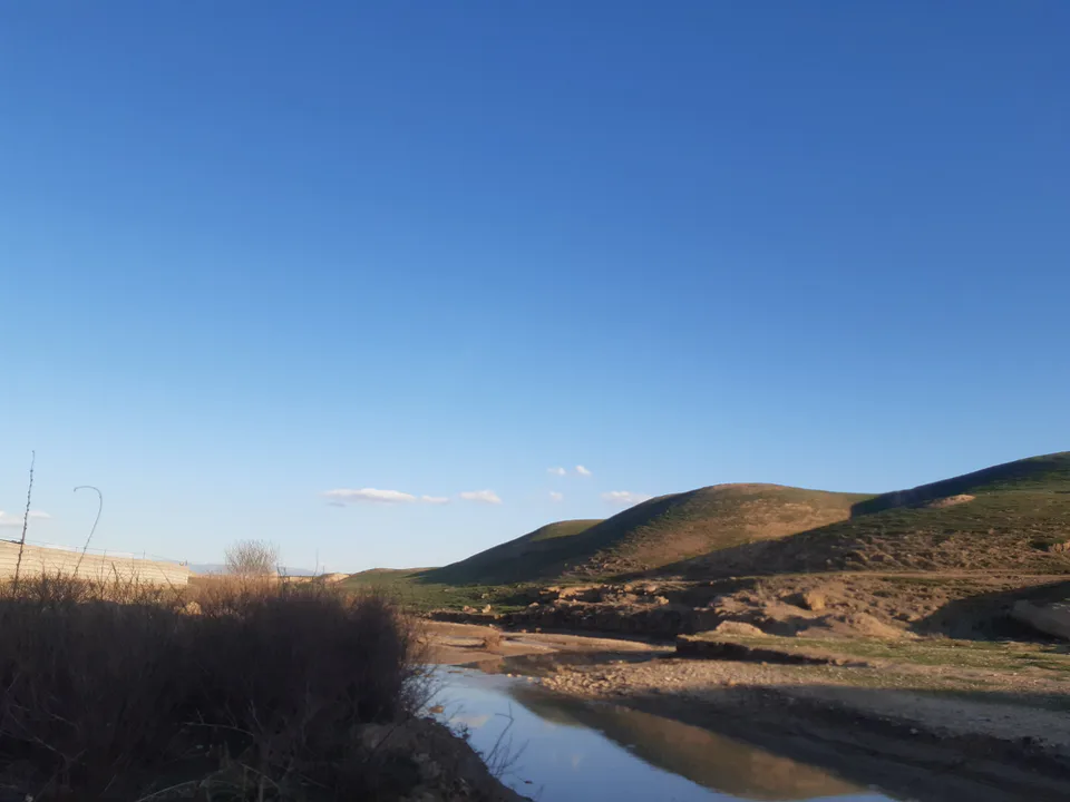
district · A caravan crossroads and the Sho‘rtan gas field
district · Irrigated farming on the Qarshi steppe
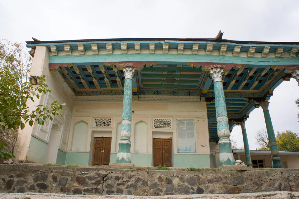
district · A foothill oasis with the mildest climate in the region
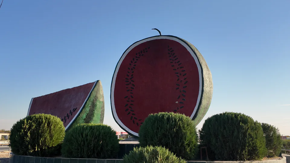
district · The region’s youngest district, created in 2022
district · An ancient oasis on the lower Kashkadarya
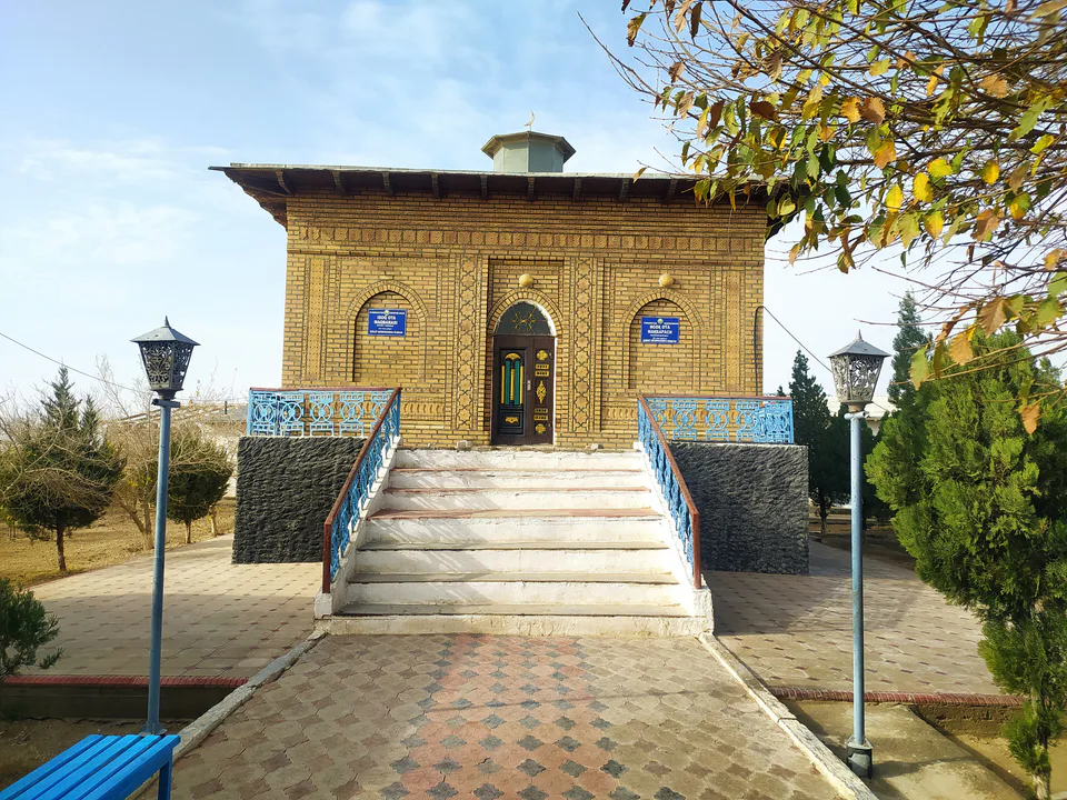
district · The western edge of the Qarshi steppe, on the Turkmen border
district · The Tallimarjon reservoir and the southern Qarshi steppe
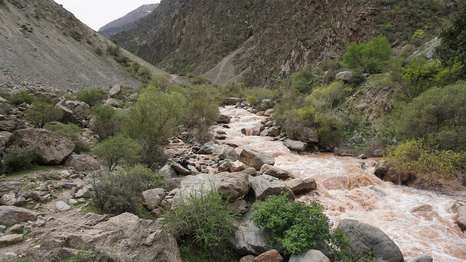
district · From the Qarshi steppe to the Hisor peaks
district · The lower Kashkadarya around the regional capital
district · Hisor foothills, Miraki and the headwaters of the Kashkadarya
district · Home to Khoja Ilgar, the village where Timur was born