Nature · Shahrisabz District
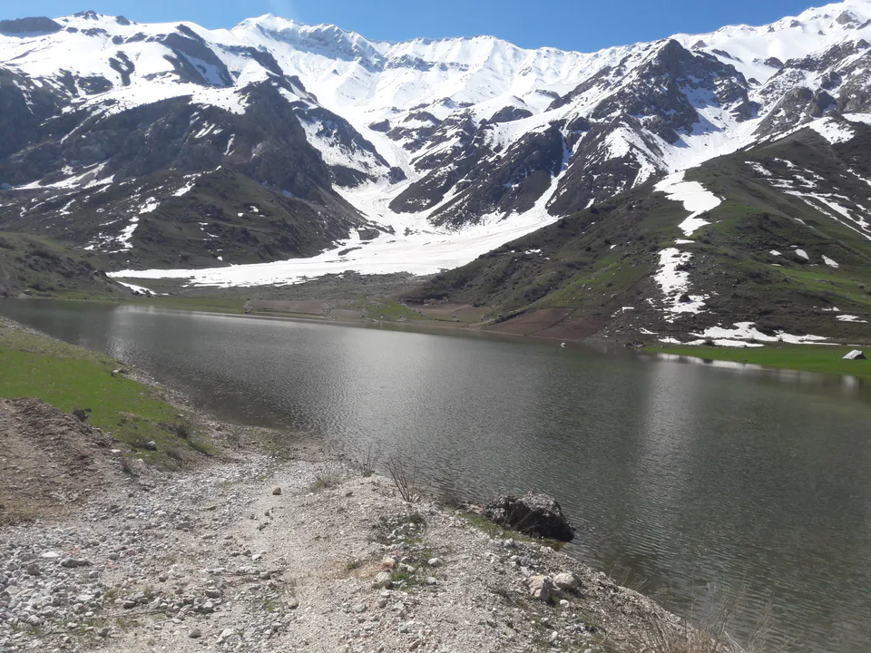
Hisor State Nature Reserve
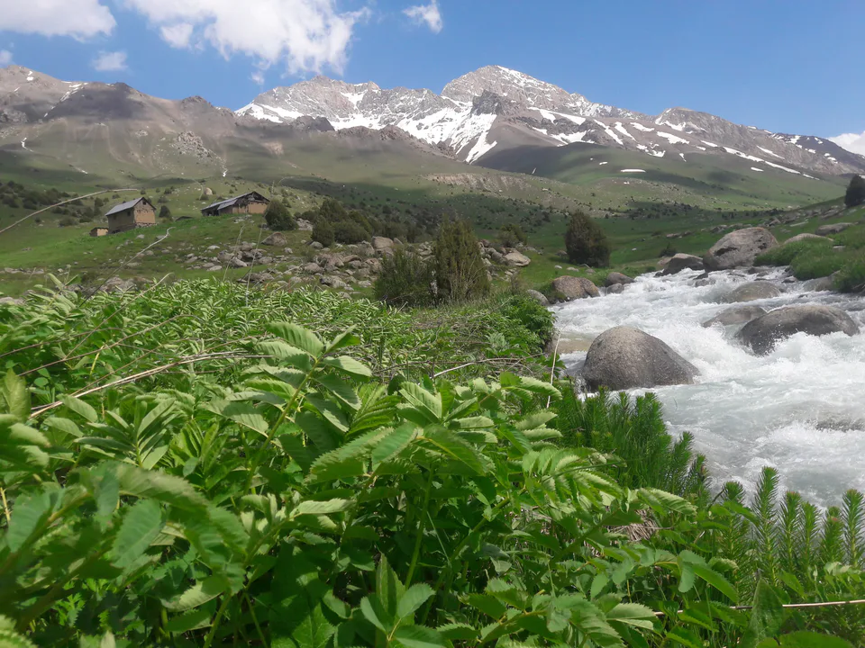
Juniper mountains at the source of the Kashkadarya, home of the snow leopard
district · Kashkadarya Region
A mountainous district around and east of Shahrisabz city, with the Hisor reserve, the village of Miraki and the Oqsuv and Tankhozdaryo valleys.
Shahrisabz District was created on 29 September 1926. It borders Kitob District to the north, Tajikistan and Surkhandarya Region to the east, Yakkabog and Qamashi to the south and Chiroqchi to the west. It covers 1,700 km² and had 227,600 inhabitants in 2022. From 1926 to 2017 its centre was Shahrisabz; when the town became a city of regional status in 2017, the centre moved to the village of Chorshanbe.
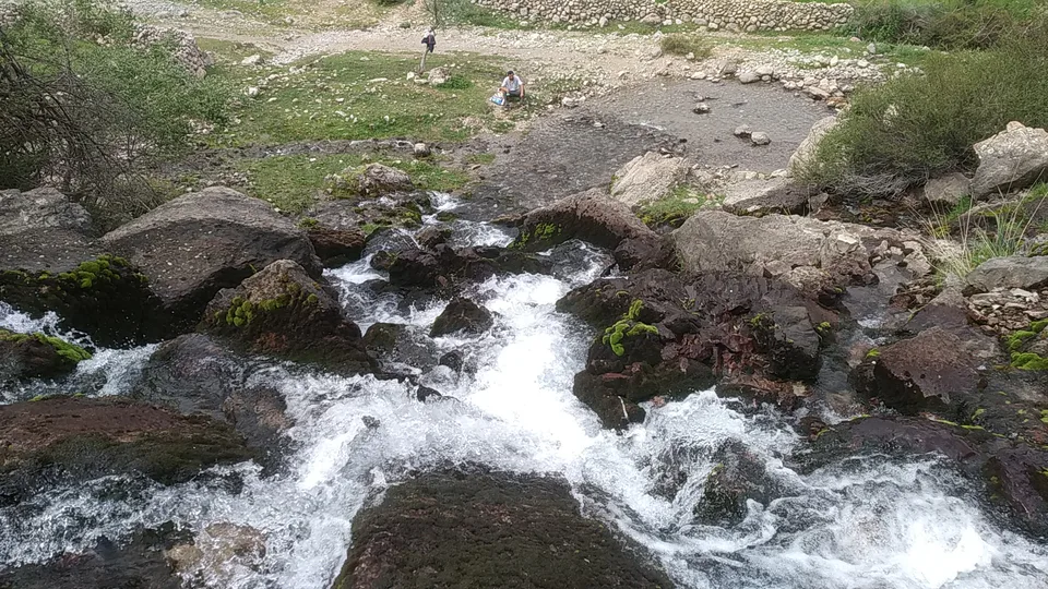
The district lies at the foot of the Hisor mountains, with an open oasis in the west merging into the Qarshi steppe and high peaks in the east. The Oqsuv, Kashkadarya, Tankhozdaryo, Qizildaryo, Tamshush and Miraki rivers have cut deep gorges, rainfall averages 545 mm a year and juniper covers the slopes.
The Hisor State Reserve occupies the eastern mountains (closed to tourists since 2015). The foothill village of Miraki is known for its cool climate, and black marble is quarried nearby. The historic monuments of Shahrisabz are just a few kilometres from the district centre.
Shahrisabz District
Airport, railway station and bus stations — addresses, timetables and the live board.
All transportShahrisabz Nearest point: Shahrisabz, 11 km
13°fair
Weather: MET Norway
Shahrisabz District
Checked hotels and places to eat — with addresses, phone numbers, opening hours and price levels.
Shahrisabz District
Khokimiyat, public service centre and other offices: addresses, phones, hours.
All offices (4)Khokimiyat
86 Fusunkor St, Shahrisabz
Read morePublic Service Centre
7A T. Malik St, Ziyokor Mahalla, Shahrisabz
Read moreShahrisabz District
Codes of the post offices in this city or district.
All postcodes (15)
city · Heir to Nakhshab and Nasaf, a 2,700-year-old regional capital
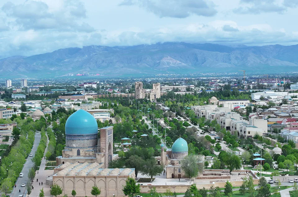
city · The “green city”, birthplace of Timur
district · A former beglik and the Siypantosh rock art
district · Salt deposits and the western spurs of the Hisor Range
district · A caravan crossroads and the Sho‘rtan gas field
district · Irrigated farming on the Qarshi steppe
district · A foothill oasis with the mildest climate in the region
district · The region’s youngest district, created in 2022
district · An ancient oasis on the lower Kashkadarya
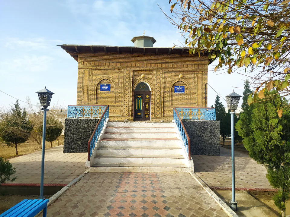
district · The western edge of the Qarshi steppe, on the Turkmen border
district · One of the capitals of Uzbekistan’s gas industry
district · The Tallimarjon reservoir and the southern Qarshi steppe
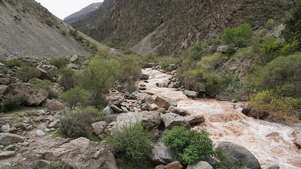
district · From the Qarshi steppe to the Hisor peaks
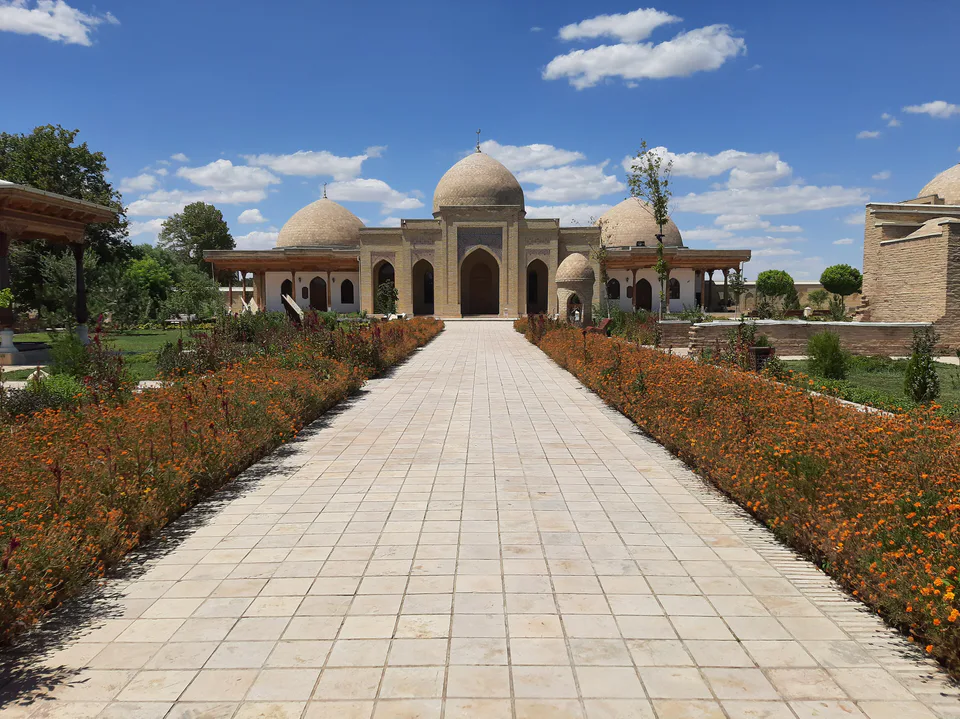
district · The lower Kashkadarya around the regional capital
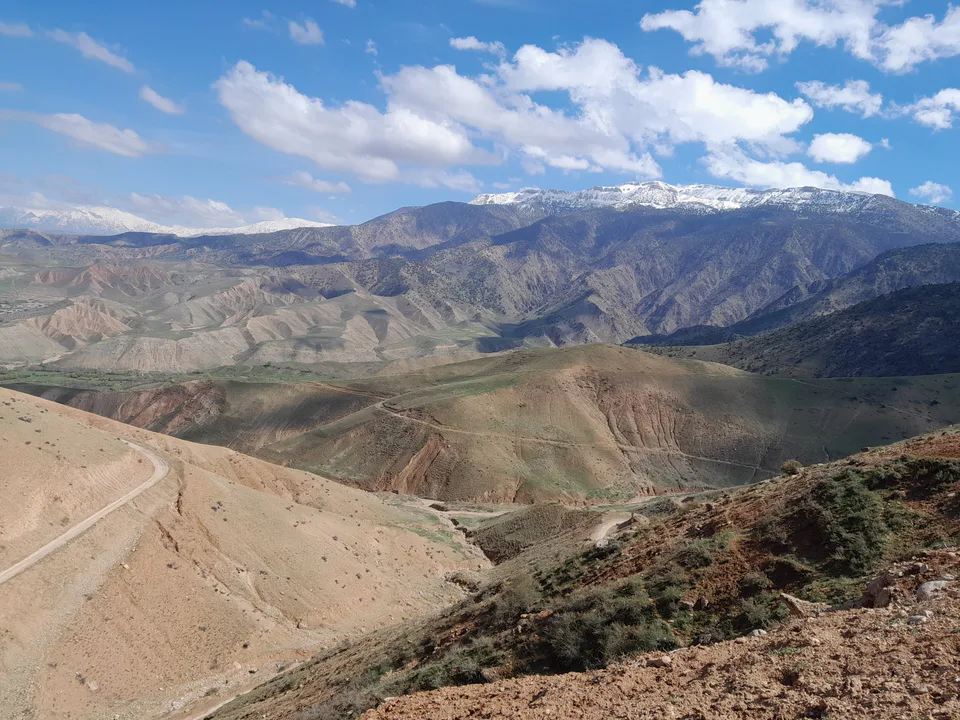
district · Home to Khoja Ilgar, the village where Timur was born