district · Kashkadarya Region
Kasbi District
A district in the west of the region on the Qarshi steppe, created in 1970, with the Maymanoq hills and the Sulton Mir Haydar complex.
Setting and nature
Kasbi District lies in the west of Kashkadarya Region on the Qarshi steppe, bordering the Qarshi, Koson, Nishon and Muborak districts. It was created on 16 October 1970, covers 650 km² and had 204,000 inhabitants in 2022; the centre is the settlement of Mug‘lon.
The Maymanoq hills rise within the district. The climate is sharply continental, with long, hot, dry summers, July averages of 28–32 °C and about 270 mm of rain a year against evaporation ten times greater. The Kashkadarya flows along the boundary with Koson District, and the pastures carry wormwood, harmal, camelthorn and other desert plants.
Economy and monuments
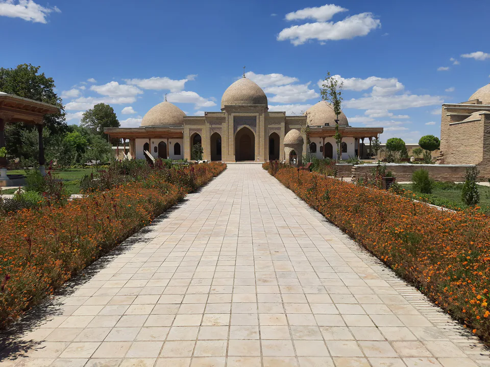
Since the reclamation of the Qarshi steppe, irrigated grain and cotton farming have developed here, alongside livestock. The district preserves the Sulton Mir Haydar complex and the remains of its sardoba, one of the covered cisterns that once supplied water to travellers on the steppe caravan routes.
Sources (2)
Kasbi District
Getting there
Airport, railway station and bus stations — addresses, timetables and the live board.
All transportQarshi Nearest point: Qarshi, 34 km
12°clear sky
- 12° / 11°
- 1.9 m/s
- 51%
- Today12°11°
- Mon21°7°
- Tue21°7°
- Wed16°9°
- Thu17°6°
Weather: MET Norway
Kasbi District
Government offices
Khokimiyat, public service centre and other offices: addresses, phones, hours.
All offices (4)Khokimiyat
Kasbi District Khokimiyat
2 Mustaqillik St, Kasbi District
Read morePublic Service Centre
Kasbi District Public Services Centre
Mustaqillik St, Muglon, Kasbi District
Read more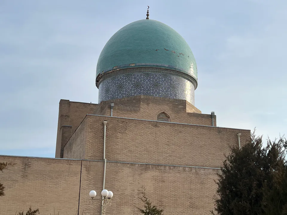
Qarshi City
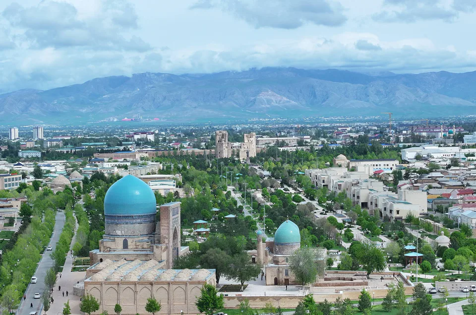
city · Heir to Nakhshab and Nasaf, a 2,700-year-old regional capital
Shahrisabz City
city · The “green city”, birthplace of Timur
Chiroqchi District
district · A former beglik and the Siypantosh rock art
Dehqonobod District
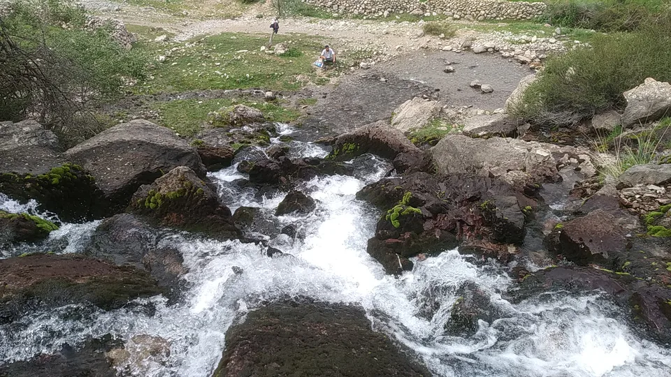
district · Salt deposits and the western spurs of the Hisor Range
G‘uzor District
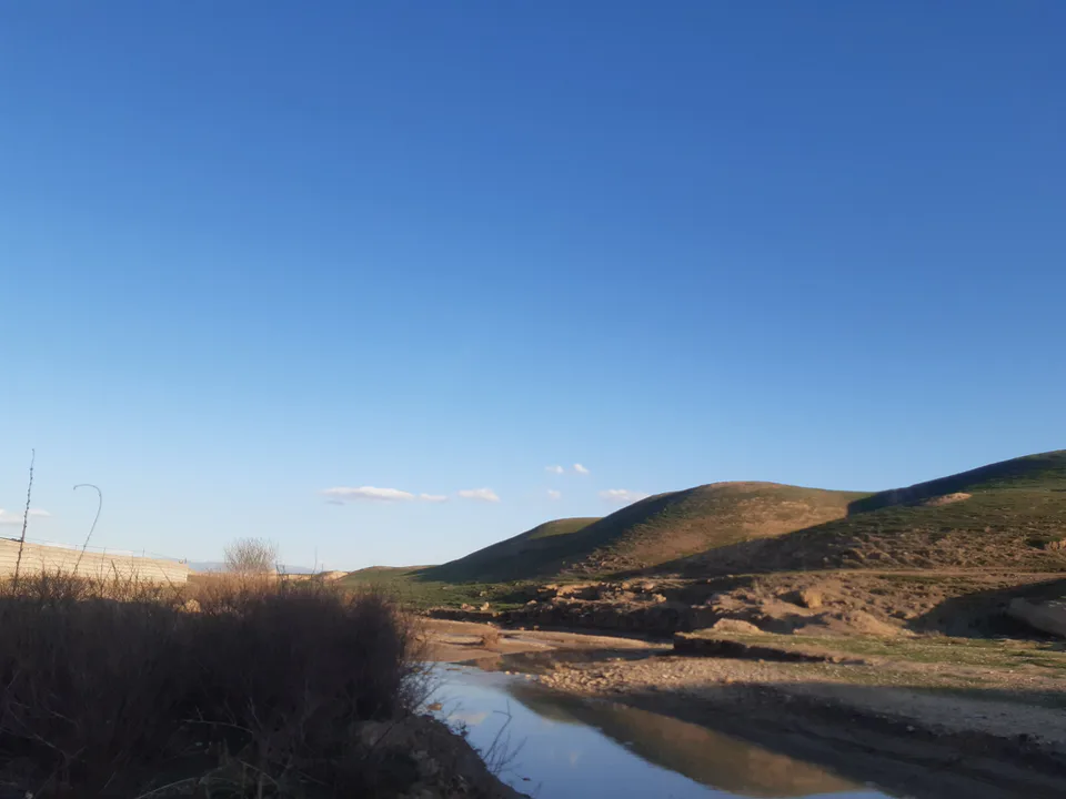
district · A caravan crossroads and the Sho‘rtan gas field
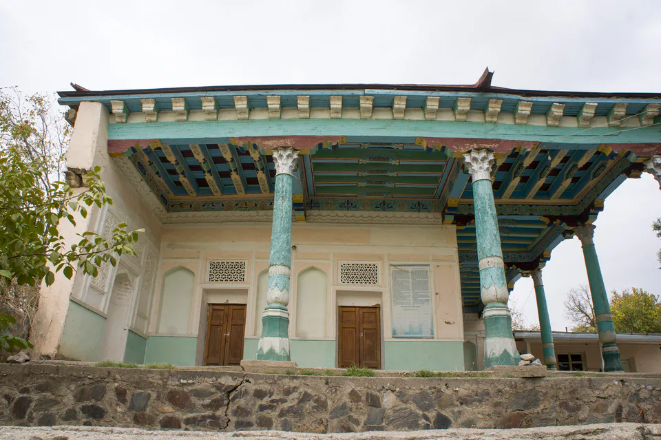
Kitob District
district · A foothill oasis with the mildest climate in the region
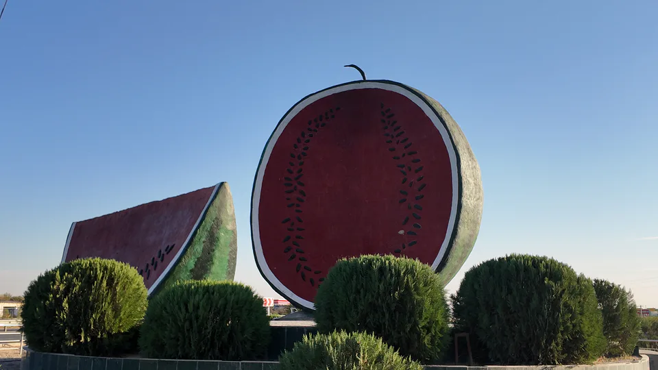
Ko‘kdala District
district · The region’s youngest district, created in 2022
Koson District
district · An ancient oasis on the lower Kashkadarya
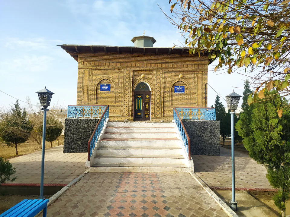
Mirishkor District
district · The western edge of the Qarshi steppe, on the Turkmen border
Muborak District
district · One of the capitals of Uzbekistan’s gas industry
Nishon District
district · The Tallimarjon reservoir and the southern Qarshi steppe
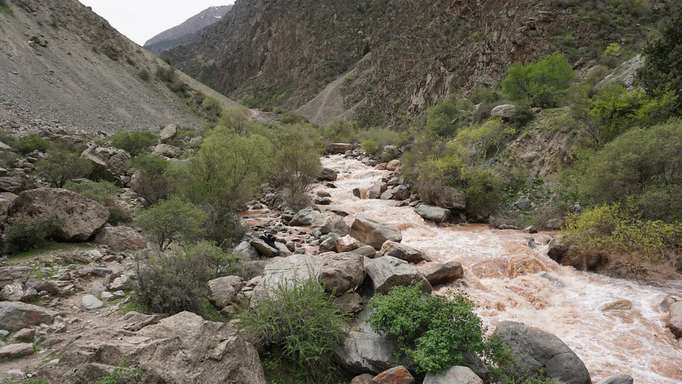
Qamashi District
district · From the Qarshi steppe to the Hisor peaks
Qarshi District
district · The lower Kashkadarya around the regional capital
Shahrisabz District
district · Hisor foothills, Miraki and the headwaters of the Kashkadarya
Yakkabog District
district · Home to Khoja Ilgar, the village where Timur was born