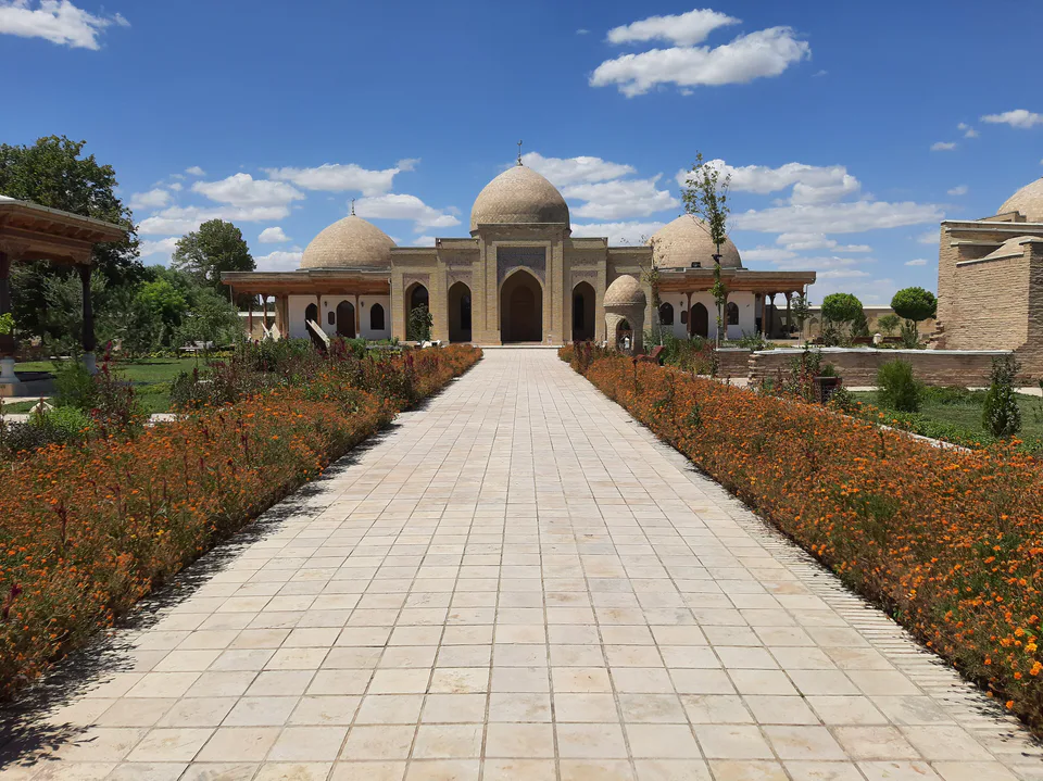
district · Kashkadarya Region
Qarshi District
The district surrounding Qarshi city: plains on the lowest reaches of the Kashkadarya, irrigation canals and gas fields. Its centre is the town of Beshkent.
Photo: NorkulovD · CC BY-SA 4.0 · Wikimedia Commons
Setting and nature
Qarshi District was created on 1 October 1931. It borders Koson to the north, Chiroqchi to the north-east, Qamashi and G‘uzor to the east, Nishon to the south and Kasbi to the west. It covers 900 km² and had 285,000 inhabitants at the start of 2026; the centre is Beshkent, and the district has 16 rural assemblies.
It lies on the plain of the lowest Kashkadarya, rising no higher than 387 m, with the Mullaquvvat and Qo‘ng‘irtog hills, depressions and salt flats. The Kashkadarya and its channels and the Fayziobod and Patron–Beshkent canals cross the district. Winters are mild and summers hot, with July highs up to 47 °C.
Economy
There are deposits of gas, oil and building materials, and irrigated land produces cotton, grain, vegetables and melons. Bordering the regional capital, the district’s villages are closely tied to Qarshi, while the district centre, Beshkent, lies about 13 km west of the city.
Sources (2)
Qarshi District
Getting there
Airport, railway station and bus stations — addresses, timetables and the live board.
All transportQarshi Nearest point: Qarshi, 12 km
12°clear sky
- 12° / 11°
- 1.9 m/s
- 51%
- Today12°11°
- Mon21°7°
- Tue21°7°
- Wed16°9°
- Thu17°6°
Weather: MET Norway
Qarshi District
Government offices
Khokimiyat, public service centre and other offices: addresses, phones, hours.
All offices (4)Khokimiyat
Karshi District Khokimiyat
7/97 Islam Karimov St, Bunyodkor Mahalla, Karshi District
Mon–Fri 9:00–18:00
Read morePublic Service Centre
Karshi District Public Services Centre
Amir Temur St, A. Navoiy Mahalla, Beshkent, Karshi District
Read more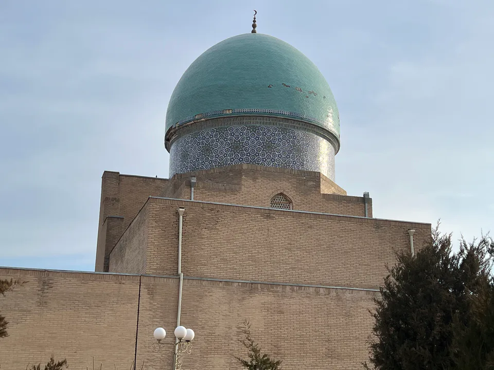
Qarshi City
city · Heir to Nakhshab and Nasaf, a 2,700-year-old regional capital
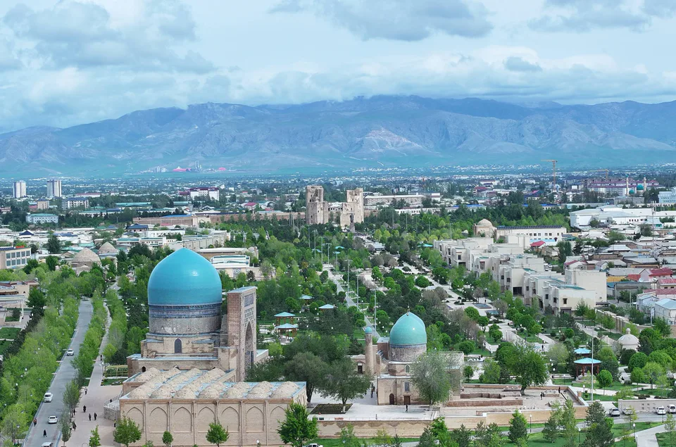
Shahrisabz City
city · The “green city”, birthplace of Timur
Chiroqchi District
district · A former beglik and the Siypantosh rock art
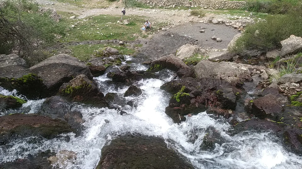
Dehqonobod District
district · Salt deposits and the western spurs of the Hisor Range
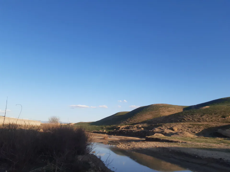
G‘uzor District
district · A caravan crossroads and the Sho‘rtan gas field
Kasbi District
district · Irrigated farming on the Qarshi steppe
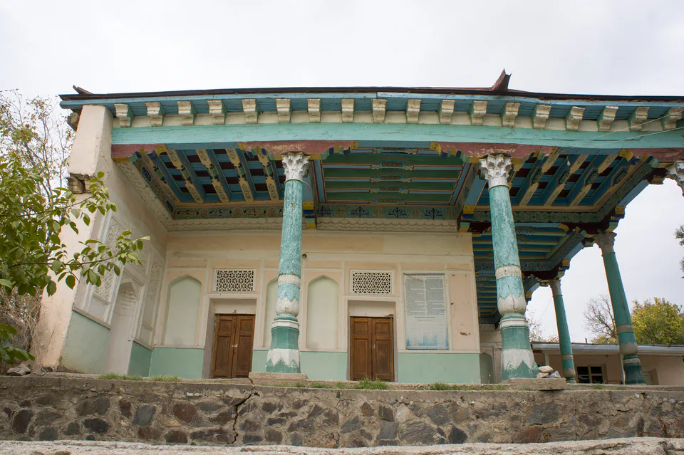
Kitob District
district · A foothill oasis with the mildest climate in the region
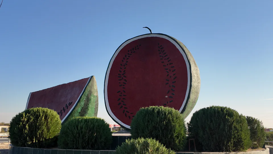
Ko‘kdala District
district · The region’s youngest district, created in 2022
Koson District
district · An ancient oasis on the lower Kashkadarya
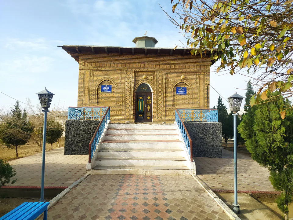
Mirishkor District
district · The western edge of the Qarshi steppe, on the Turkmen border
Muborak District
district · One of the capitals of Uzbekistan’s gas industry
Nishon District
district · The Tallimarjon reservoir and the southern Qarshi steppe
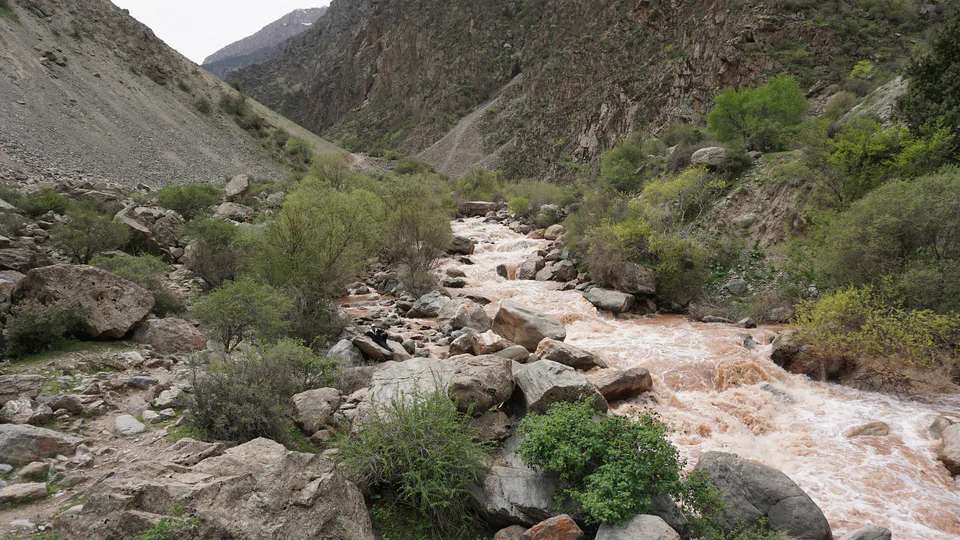
Qamashi District
district · From the Qarshi steppe to the Hisor peaks
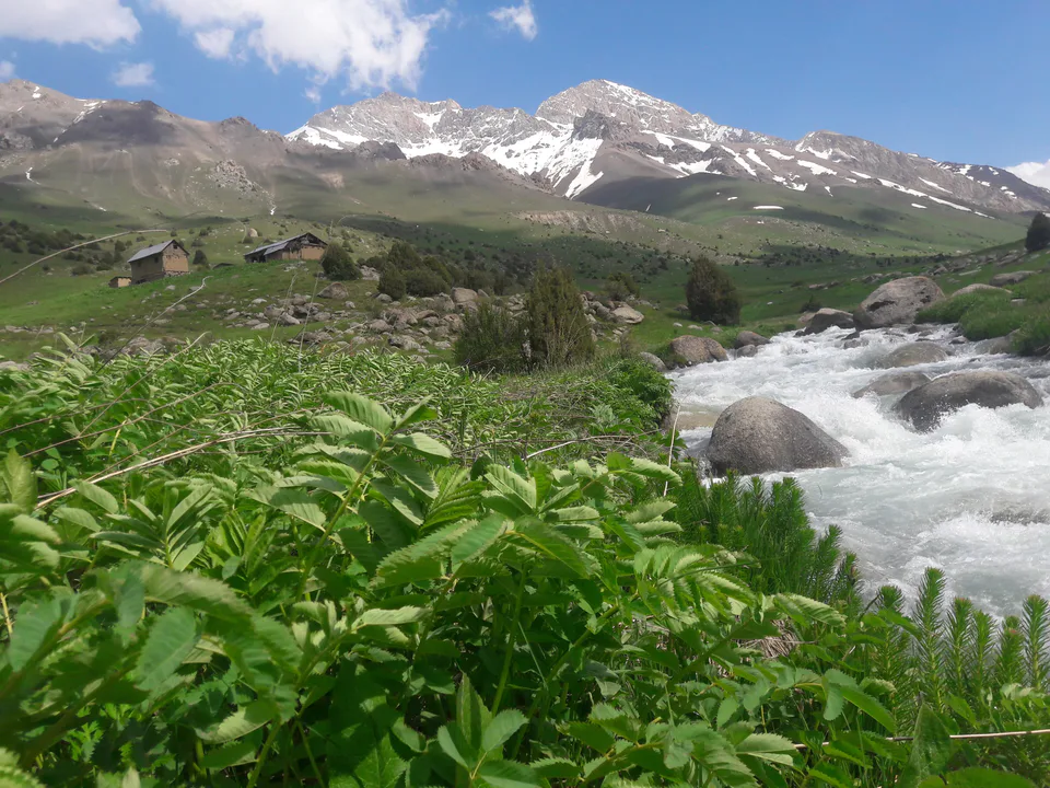
Shahrisabz District
district · Hisor foothills, Miraki and the headwaters of the Kashkadarya
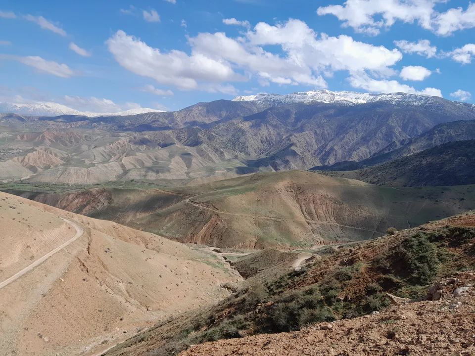
Yakkabog District
district · Home to Khoja Ilgar, the village where Timur was born