district · Kashkadarya Region
Chiroqchi District
A farming and stock-raising district in the north of the region, created in 1926; in 2022 part of its territory became the new Ko‘kdala District.
Setting and history
Chiroqchi District lies in the north of Kashkadarya Region, between the southern foothills of the Zarafshan Range and the Kashkadarya valley, bordering Samarkand Region to the north. Its centre is the town of Chiroqchi. From the 17th century the Chiroqchi beglik took shape here and became one of the larger begliks of the Bukhara Emirate. The district was created on 29 September 1926 and was briefly merged with Yakkabog in 1962–1964. In 2022, because of its large population, it was split in two, and 32 mahallas formed the new Ko‘kdala District.
Agriculture, grain and above all livestock, is the backbone of the local economy.
Sights
In the Quruqsoy gorge lies Siypantosh, “slippery stone”, a gallery of ancient paintings beneath rock overhangs. An expedition led by R. Kh. Suleymanov studied it in 2001 and dated the images from the Mesolithic to the Bronze Age; they include a bull painted in ochre, geometric signs and small handprints. The site is still sacred to local people. The district also has many venerated places and springs, such as the Chambil spring.
Sources (3)
Chiroqchi District
Getting there
Airport, railway station and bus stations — addresses, timetables and the live board.
All transportShahrisabz Nearest point: Shahrisabz, 22 km
14°fair
- 14° / 11°
- 1 m/s
- 45%
- Today14°11°
- Mon21°7°
- Tue21°8°
- Wed18°9°
- Thu17°7°
Weather: MET Norway
Chiroqchi District
Government offices
Khokimiyat, public service centre and other offices: addresses, phones, hours.
All offices (4)Khokimiyat
Chiroqchi District Khokimiyat
19 Mustaqillik St, Chiroqchi, Chiroqchi District
Read morePublic Service Centre
Chiroqchi District Public Services Centre
Mustaqillik St, Kishmishtepa Mahalla, Chiroqchi District
Read moreChiroqchi District
Postal codes
Codes of the post offices in this city or district.
All postcodes (8)
Qarshi City
city · Heir to Nakhshab and Nasaf, a 2,700-year-old regional capital
Shahrisabz City
city · The “green city”, birthplace of Timur
Dehqonobod District
district · Salt deposits and the western spurs of the Hisor Range
G‘uzor District
district · A caravan crossroads and the Sho‘rtan gas field
Kasbi District
district · Irrigated farming on the Qarshi steppe
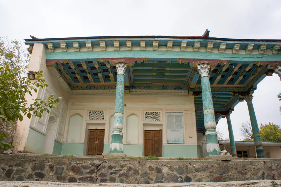
Kitob District
district · A foothill oasis with the mildest climate in the region
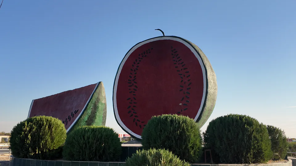
Ko‘kdala District
district · The region’s youngest district, created in 2022
Koson District
district · An ancient oasis on the lower Kashkadarya
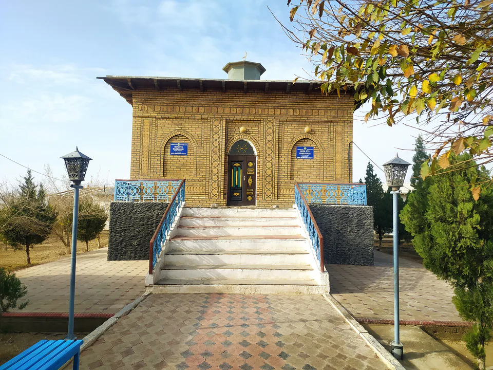
Mirishkor District
district · The western edge of the Qarshi steppe, on the Turkmen border
Muborak District
district · One of the capitals of Uzbekistan’s gas industry
Nishon District
district · The Tallimarjon reservoir and the southern Qarshi steppe
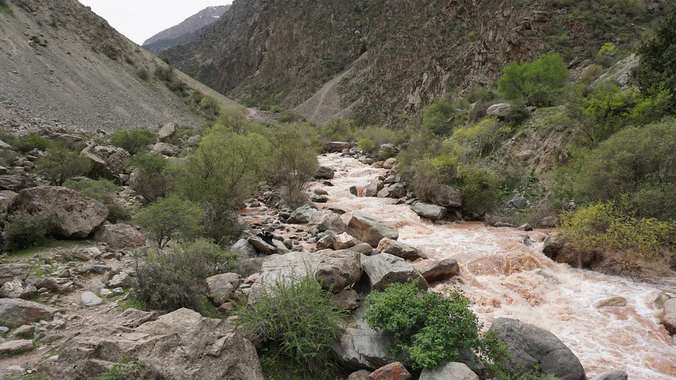
Qamashi District
district · From the Qarshi steppe to the Hisor peaks
Qarshi District
district · The lower Kashkadarya around the regional capital
Shahrisabz District
district · Hisor foothills, Miraki and the headwaters of the Kashkadarya
Yakkabog District
district · Home to Khoja Ilgar, the village where Timur was born