district · Kashkadarya Region
Dehqonobod District
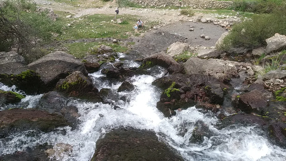
A mountainous district in the south-east of the region, with the western spurs of the Hisor Range, potash and rock-salt deposits and a border with Turkmenistan.
Photo: Karvon arsloni · CC BY-SA 4.0 · Wikimedia Commons
Setting and nature
Dehqonobod District lies in the south-east of Kashkadarya Region, bordering G‘uzor District to the north-west, Qamashi to the north-east, the Boysun and Sariosiyo districts of Surkhandarya to the south-east and Turkmenistan’s Lebap Province to the west. It covers about 4,000 km² and had 162,700 inhabitants in 2025; its centre is the settlement of Qorashina.
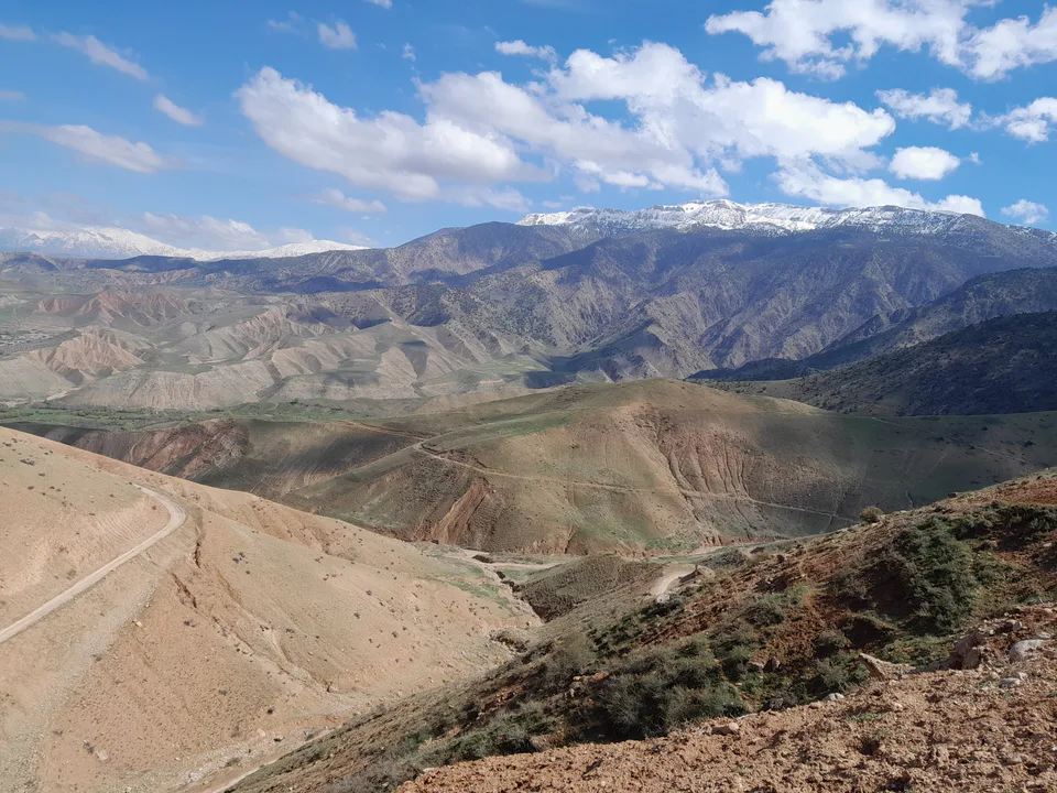
Created on 29 September 1926, it was merged into G‘uzor District in 1962 and re-established on 31 August 1971. The landscape consists of the mid-height western spurs of the Hisor Range, such as the Bobosurxok and Qorasirt, low mountains and foothill plains, with deposits of oil, gas, rock salt, potash and building materials.
Economy and transport
Dehqonobod has a potash fertiliser plant, one of the region’s major industrial sites, and livestock grazing on the mountain pastures. The Tashguzar–Boysun–Qumqo‘rg‘on railway, built through difficult mountain terrain to link Surkhandarya with the rest of the country without crossing Turkmenistan, runs through the district.
Sources (3)
Dehqonobod District
Getting there
Airport, railway station and bus stations — addresses, timetables and the live board.
All transportBoysun Nearest point: Boysun, 57 km
12°fair
- 12° / 11°
- 0.7 m/s
- 47%
- Today12°11°
- Mon17°10°
- Tue17°10°
- Wed15°9°
- Thu14°8°
Weather: MET Norway
Dehqonobod District
Government offices
Khokimiyat, public service centre and other offices: addresses, phones, hours.
All offices (4)Khokimiyat
Dehqonobod District Khokimiyat
M. Ulugbek St, Karashina, Dehqonobod District
Read morePublic Service Centre
Dehqonobod District Public Services Centre
No. 2, Dustlik Mahalla, Dehqonobod District
Read moreDehqonobod District
Postal codes
Codes of the post offices in this city or district.
All postcodes (12)
Qarshi City
city · Heir to Nakhshab and Nasaf, a 2,700-year-old regional capital
Shahrisabz City
city · The “green city”, birthplace of Timur
Chiroqchi District
district · A former beglik and the Siypantosh rock art
G‘uzor District
district · A caravan crossroads and the Sho‘rtan gas field
Kasbi District
district · Irrigated farming on the Qarshi steppe
Kitob District
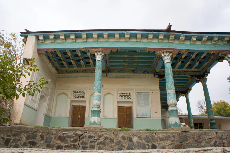
district · A foothill oasis with the mildest climate in the region
Ko‘kdala District
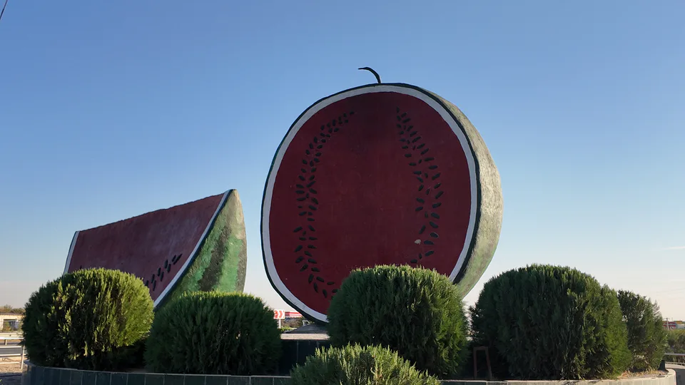
district · The region’s youngest district, created in 2022
Koson District
district · An ancient oasis on the lower Kashkadarya
Mirishkor District
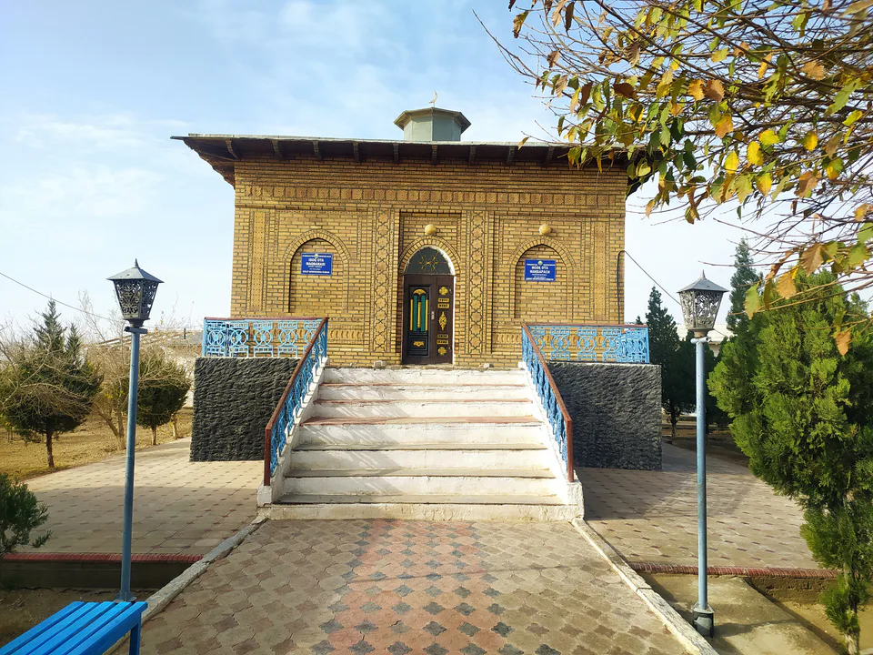
district · The western edge of the Qarshi steppe, on the Turkmen border
Muborak District
district · One of the capitals of Uzbekistan’s gas industry
Nishon District
district · The Tallimarjon reservoir and the southern Qarshi steppe
Qamashi District
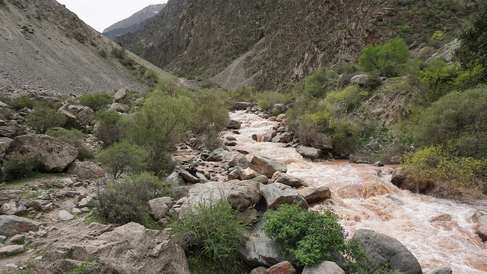
district · From the Qarshi steppe to the Hisor peaks
Qarshi District
district · The lower Kashkadarya around the regional capital
Shahrisabz District
district · Hisor foothills, Miraki and the headwaters of the Kashkadarya
Yakkabog District
district · Home to Khoja Ilgar, the village where Timur was born