Pilgrimage site · Qamashi District
Langar Ota Complex
A tiled mosque and Sufi shrine in a mountain village below the Hisor Range
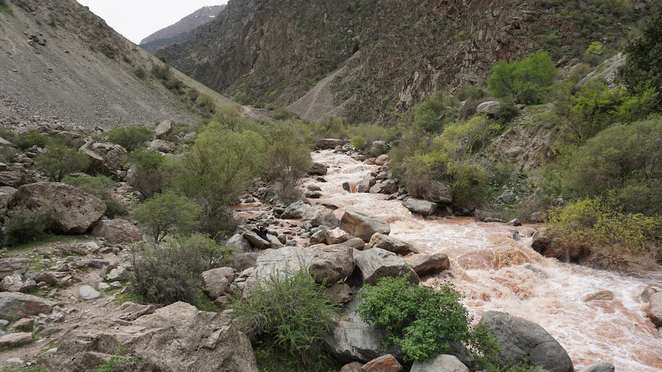
district · Kashkadarya Region
A district stretching 150 km from west to east, from the Qarshi steppe through foothills to the south-western spurs of the Hisor Range; home to Langar Ota and the Maidanak Observatory.
Qamashi District was created in 1937, merged into Qarshi District in 1962 and re-established on 31 December 1964. It borders Chiroqchi, Yakkabog and Shahrisabz to the north, Koson to the west, G‘uzor and Dehqonobod to the south and Boysun District of Surkhandarya to the east. It covers 2,660 km² and had 302,000 inhabitants in 2025; the centre is the town of Qamashi.
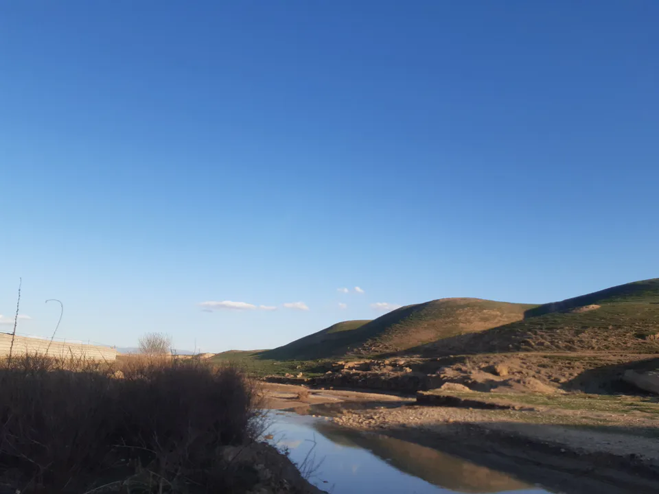
The district runs 150 km west to east and 40–45 km north to south. Its western part is Qarshi steppe plain, giving way eastwards to foothills and then low and higher mountains. Mount Chaqchar, a south-western spur of the Hisor Range, divides the Kashkadarya basin from that of the Surkhandarya.
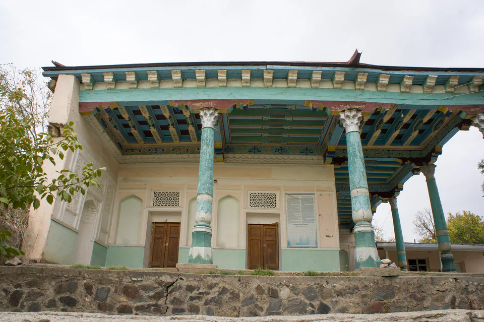
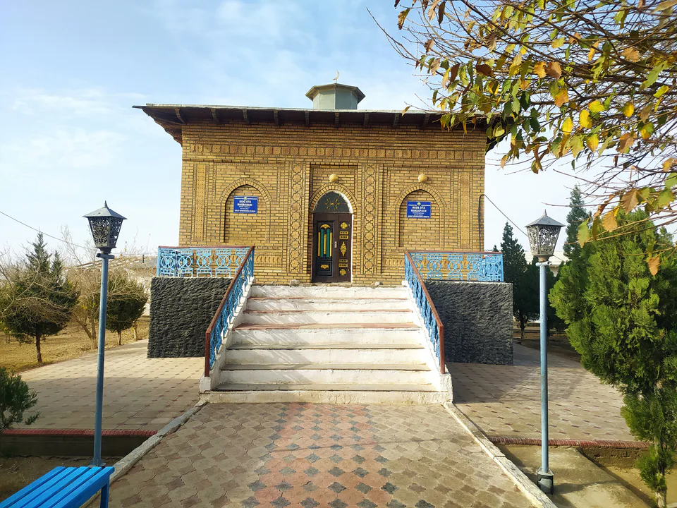
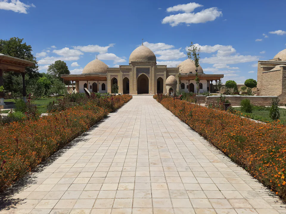
In the foothill village of Katta Langar stand the 15th–16th-century mosque and mausoleum of Langar Ota, a Sufi shrine known for its rare tile panels. On the western plateau of Mount Maidanak, the Maidanak high-altitude observatory has operated since 1970. The mountain villages are especially pleasant for walks in spring and autumn.
Qamashi District
Airport, railway station and bus stations — addresses, timetables and the live board.
All transportShahrisabz Nearest point: Shahrisabz, 41 km
14°fair
Weather: MET Norway
Qamashi District
Khokimiyat, public service centre and other offices: addresses, phones, hours.
All offices (4)Khokimiyat
1 Amir Temur St, Kamashi, Kamashi District
Read morePublic Service Centre
47 Charogon St, Navoiy Mahalla, Kamashi District
Read moreQamashi District
Codes of the post offices in this city or district.
All postcodes (15)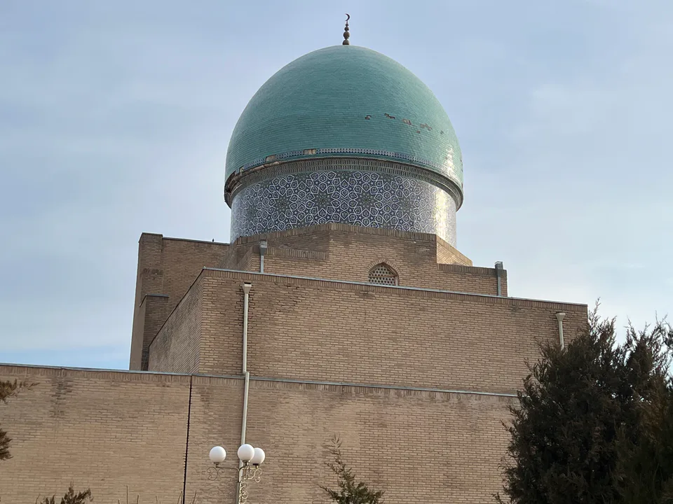
city · Heir to Nakhshab and Nasaf, a 2,700-year-old regional capital
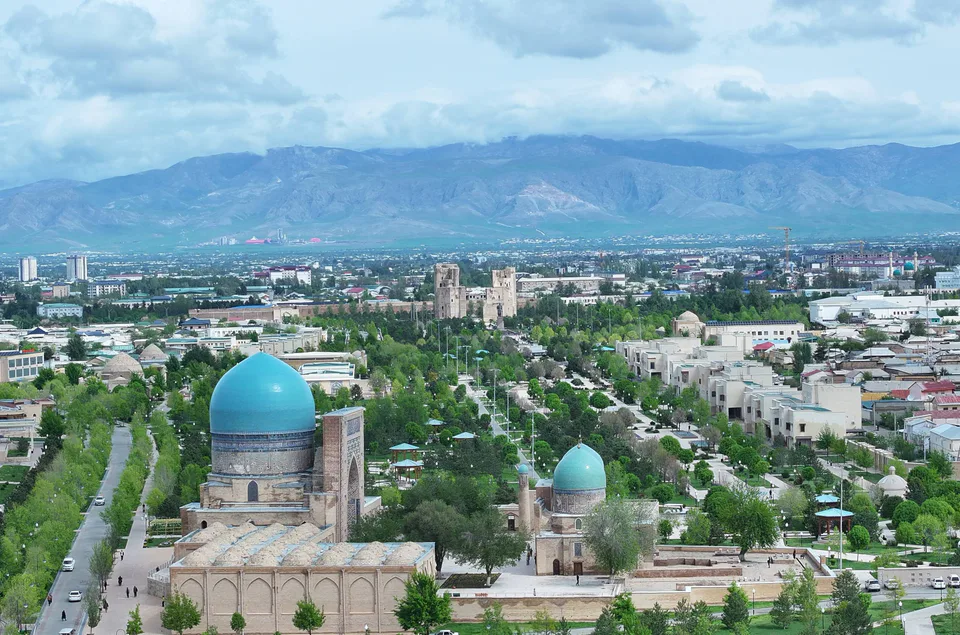
city · The “green city”, birthplace of Timur
district · A former beglik and the Siypantosh rock art
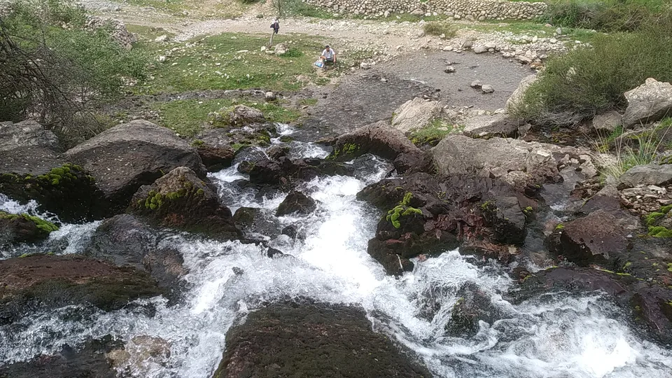
district · Salt deposits and the western spurs of the Hisor Range
district · A caravan crossroads and the Sho‘rtan gas field
district · Irrigated farming on the Qarshi steppe
district · A foothill oasis with the mildest climate in the region
district · The region’s youngest district, created in 2022
district · An ancient oasis on the lower Kashkadarya
district · The western edge of the Qarshi steppe, on the Turkmen border
district · One of the capitals of Uzbekistan’s gas industry
district · The Tallimarjon reservoir and the southern Qarshi steppe
district · The lower Kashkadarya around the regional capital
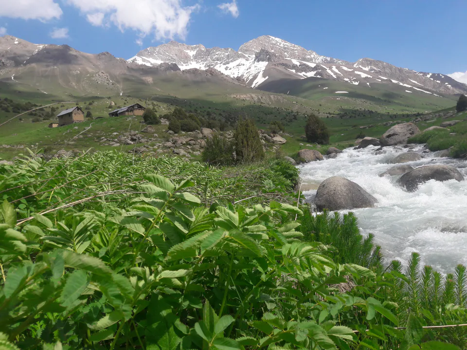
district · Hisor foothills, Miraki and the headwaters of the Kashkadarya
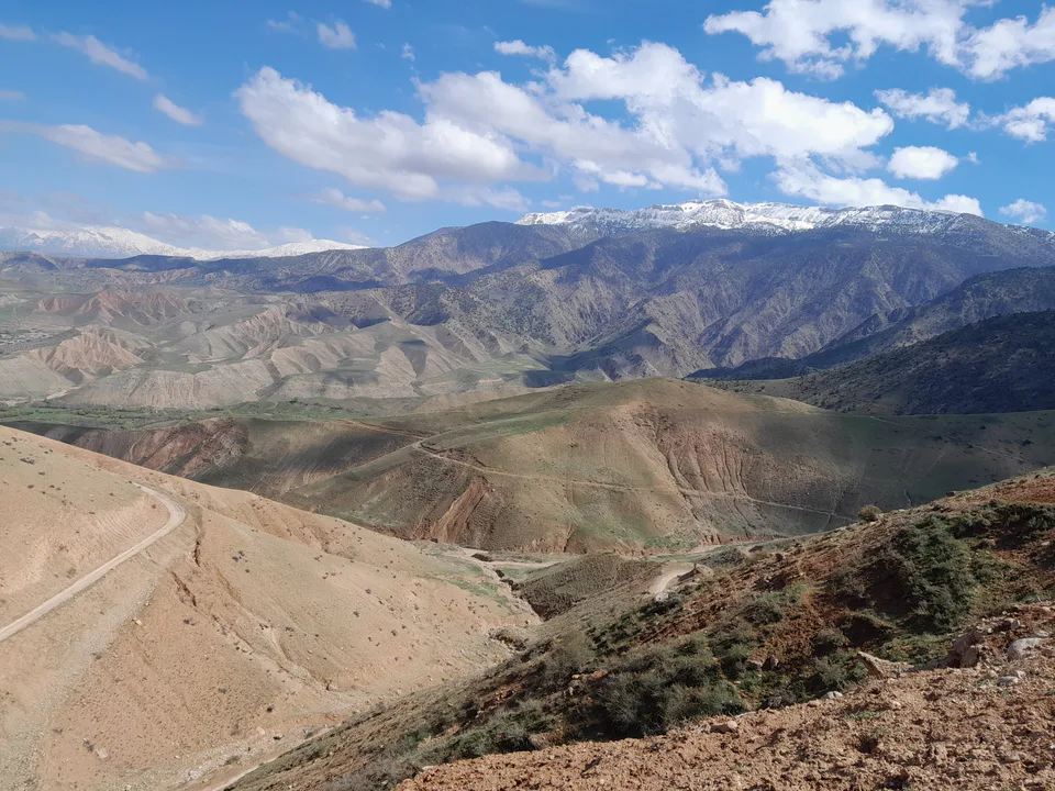
district · Home to Khoja Ilgar, the village where Timur was born