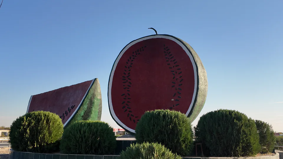
district · Kashkadarya Region
Ko‘kdala District
A district carved out of Chiroqchi District in 2022, centred on Yettitom; about 177,000 people lived here when it was created.
Photo: Anjaniy · CC BY 4.0 · Wikimedia Commons
Origins
Ko‘kdala is the youngest district in Kashkadarya Region. At a meeting with voters in October 2021 it was noted that Chiroqchi District’s large population and poor transport links meant residents spent much time and money travelling to the district centre, and splitting the district was proposed. In 2022 both chambers of parliament approved the move, transferring 171,000 ha of Chiroqchi land with some 177,000 inhabitants and 32 mahallas to the new district.
The district centre is Yettitom. Ko‘kdala lies in the north-west of the Kashkadarya oasis, between Chiroqchi and Koson districts.
Economy
Ko‘kdala is an agricultural district of grain, livestock and orchards. Its land formerly belonged to the Chiroqchi beglik and later to Chiroqchi District, so its history and traditions are closely bound up with Chiroqchi.
Sources (2)
Ko‘kdala District
Getting there
Airport, railway station and bus stations — addresses, timetables and the live board.
All transportShahrisabz Nearest point: Shahrisabz, 54 km
14°fair
- 14° / 11°
- 1 m/s
- 45%
- Today14°11°
- Mon21°7°
- Tue21°8°
- Wed18°9°
- Thu17°7°
Weather: MET Norway
Ko‘kdala District
Government offices
Khokimiyat, public service centre and other offices: addresses, phones, hours.
All offices (3)Khokimiyat
Kokdala District Khokimiyat
47 Nurafshon St, Kokdala District
Read morePublic Service Centre
Kokdala District Public Services Centre
77 Erkin Vohidov St, Kukdala Mahalla, Kokdala District
Read moreKo‘kdala District
Postal codes
Codes of the post offices in this city or district.
All postcodes (10)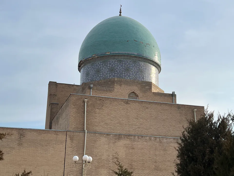
Qarshi City
city · Heir to Nakhshab and Nasaf, a 2,700-year-old regional capital
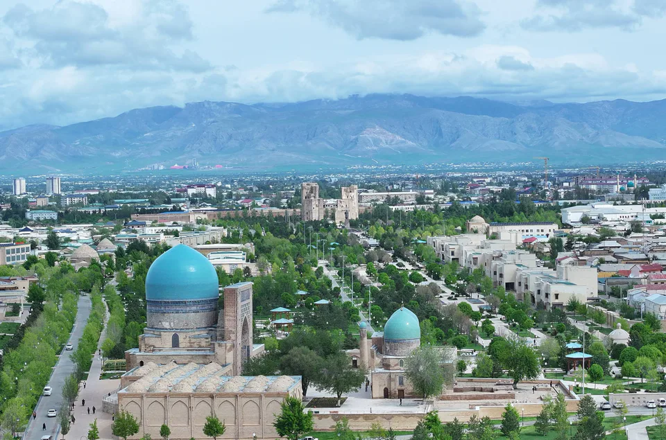
Shahrisabz City
city · The “green city”, birthplace of Timur
Chiroqchi District
district · A former beglik and the Siypantosh rock art
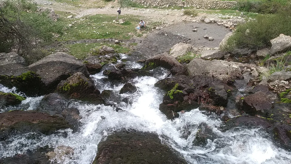
Dehqonobod District
district · Salt deposits and the western spurs of the Hisor Range
G‘uzor District
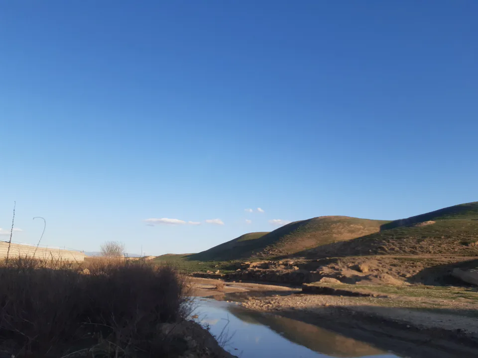
district · A caravan crossroads and the Sho‘rtan gas field
Kasbi District
district · Irrigated farming on the Qarshi steppe
Kitob District
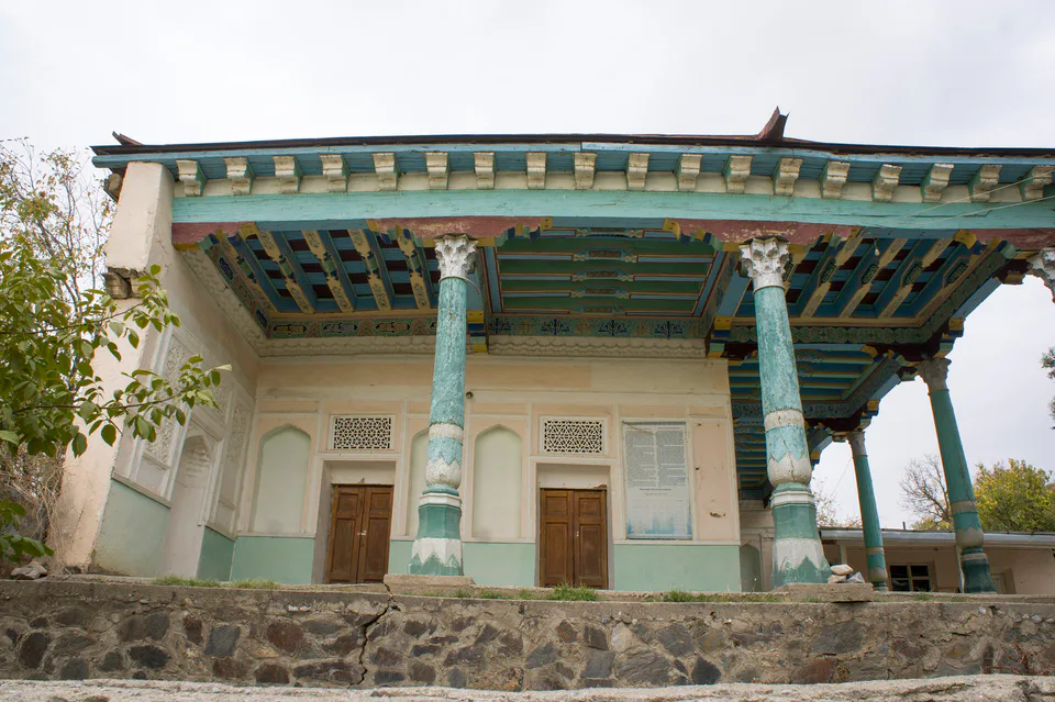
district · A foothill oasis with the mildest climate in the region
Koson District
district · An ancient oasis on the lower Kashkadarya
Mirishkor District
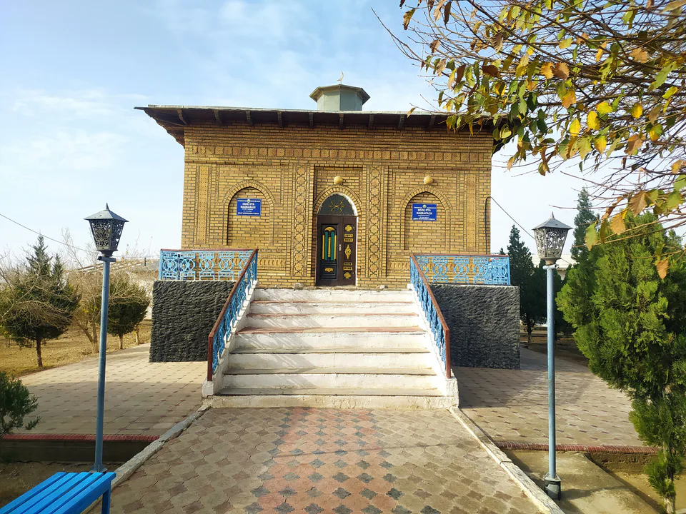
district · The western edge of the Qarshi steppe, on the Turkmen border
Muborak District
district · One of the capitals of Uzbekistan’s gas industry
Nishon District
district · The Tallimarjon reservoir and the southern Qarshi steppe
Qamashi District
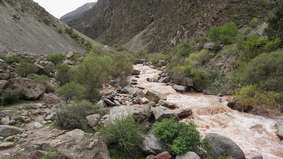
district · From the Qarshi steppe to the Hisor peaks
Qarshi District
district · The lower Kashkadarya around the regional capital
Shahrisabz District
district · Hisor foothills, Miraki and the headwaters of the Kashkadarya
Yakkabog District
district · Home to Khoja Ilgar, the village where Timur was born