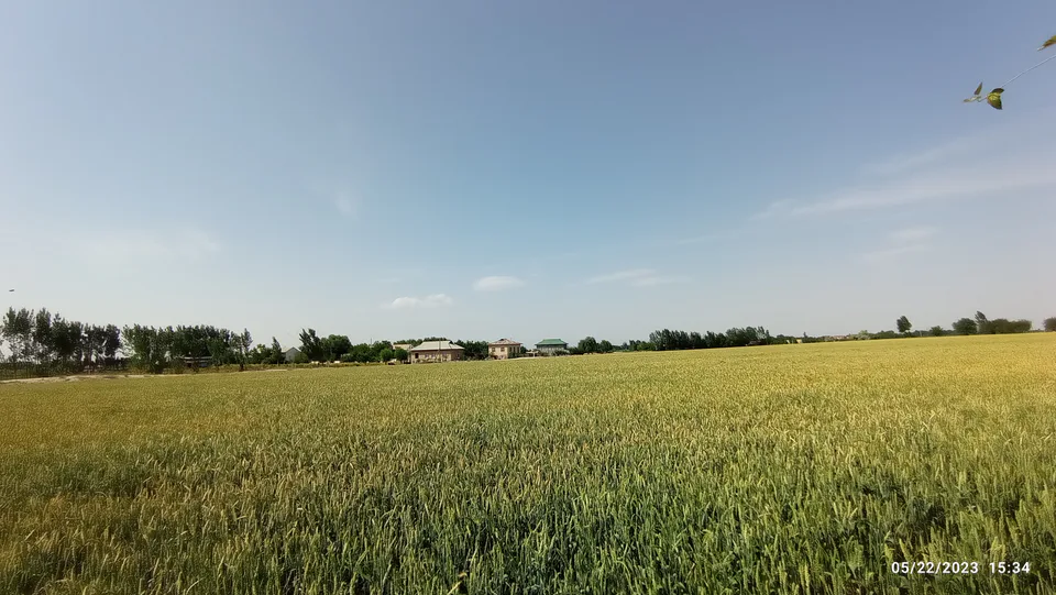
district · Samarkand Region
Narpay District
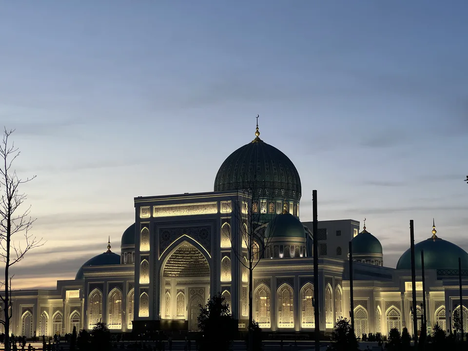
A small but crowded district in the west of the region: the 1868 Zerabulak battlefield, the ancient Narpay canal, birthplace of the bard Islam Shoir, the Kok-Ota shrine and limestone caves.
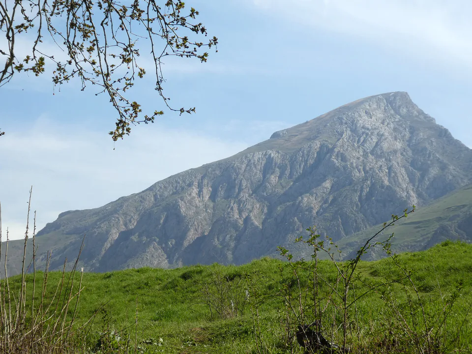
Photo: Dilshod's project · CC BY 4.0 · Wikimedia Commons
Setting and nature
Narpay District lies in the west of the region, between the Kattakurgan and Paxtachi districts. It covers just 442 km² yet holds over 235,000 people, more than 530 per square kilometre, making it one of the most densely settled districts in the region. The Zarafshan runs along its northern edge, while to the south rise the Ziyovuddin and Zirabuloq hills, beyond which the Karnab steppe begins. The climate is sharply continental, averaging −2 °C in January and 27 °C in July, with only about 200 mm of rain a year.
The district's lifeline is the ancient Narpay canal, which draws water from the Karadarya. Nearly 110 km long, it feeds more than 370 branch ditches irrigating over 42,000 ha in Narpay, Paxtachi and Kattakurgan. It also gave the district its name: Arabic nahr (canal) plus Persian pay (end), 'the end of the canal'. The limestone hills hide caves; in Gunjak cave on Turitog a domed chamber some 20 m across is hung with stalactites and stalagmites.
History
The district was created on 29 September 1926. Its centre, Oqtosh (Aktash), was long known as Zirabuloq and became a town in 1967; the railway station still bears the old name. On 2 (14) June 1868, on the Zerabulak heights nearby, General Kaufman's troops routed the army of Emir Muzaffar, a defeat that turned the Emirate of Bukhara into a Russian vassal. The artist Nikolai Karazin fought in the battle and later painted it.
Narpay is the homeland of the bard Islam Shoir Nazar-ogli (1874–1953), born in the village of Gallakassob, a pupil of Ergash Jumanbulbul-ogli and famous for the epic Orzigul. Shrines abound. In the village of Kok-Ota lies Said Ahmad Nasafi, who moved here from Kasan in 1455, beside a Friday mosque with a minaret and a pool shaded by plane trees. The 19th-century three-domed Khojakarzon-Ota mausoleum is wrapped in local legend, and the town of Mirbozor keeps its Salovat mosque of 1890.
Economy
Narpay has long grown cotton, grain and silk cocoons. Today two large textile mills operate here, 564 ha on the Qoratog ridge are earmarked for building-materials production, and an industrial zone is planned around Zirabuloq station. The district has 20,400 ha of irrigated land, and four mahallas are planting apple, plum and cherry orchards under the 'one mahalla, one product' scheme. The Mirbozor market complex in the district centre serves around 50,000 people.
Getting there
Oqtosh is about 110 km from Samarkand, 1.5–2 hours by car along the M-37 towards Navoi and Bukhara. The district's railway station is Zirabuloq. Local taxis reach the Kok-Ota and Khojakarzon shrines; Gunjak cave should only be entered with an experienced guide.
Narpay District
Getting there
Airport, railway station and bus stations — addresses, timetables and the live board.
All transportNavoiy Nearest point: Navoiy, 50 km
11°clear sky
- 11° / 10°
- 2 m/s
- 51%
- Today11°10°
- Mon20°7°
- Tue20°7°
- Wed17°9°
- Thu17°7°
Weather: MET Norway
Narpay District
Government offices
Khokimiyat, public service centre and other offices: addresses, phones, hours.
All offices (12)Khokimiyat
Narpay District Khokimiyat
64 Alisher Navoiy St, Oqtosh
Read morePublic Service Centre
Narpay District Public Services Centre
Alisher Navoiy St, Oqtosh
Read more- Police · Narpay District Narpay District Department of Internal Affairs Sobir Rahimov St, Oqtosh, Narpay District
- Prosecutor’s office · Narpay District Narpay District Prosecutor’s Office 128 Islom Nazar St, Narpay mahalla, Oqtosh, Narpay District
- Court · Narpay District Narpay District Criminal Court 13 Imom al-Bukhoriy St, Alisher Navoiy mahalla, Oqtosh
- Justice · Narpay District Narpay District Department of Justice Kamalak St, Nogoraxona mahalla, Oqtosh
- Civil registry · Narpay District Narpay District Civil Registry Office Kamalak St, Nogoraxona mahalla, Oqtosh
- Tax office · Narpay District Narpay District Tax Inspectorate 4 Imam al-Bukhari St, Oqtosh
Kattakurgan
city · Western gateway to the Zarafshan valley, beside the “Uzbek Sea”
Samarkand
city · Ancient capital, modern regional hub
Bulungur District
district · Land of epic bards and Timur's own Shiraz
Ishtixon District
district · Former seat of the Sogdian ikhshids in the Miankal oasis
Jomboy District
district · The Zarafshan’s right bank: Shaybani Khan’s bridge and Sheikh Khudoydod’s shrine
Kattakurgan District
district · Miankal orchards and the 'Kattakurgan Sea'
Nurobod District
district · A Samanid tomb, a cave shrine and healing springs
Oqdaryo District
district · An oasis between the Zarafshan’s channels, home to Makhdumi Azam’s Dahbed
Pastdargom District
district · Orchards on the Dargom and master furniture makers
Paxtachi District
district · Ancient Dabusiya on the Zarafshan
Payariq District
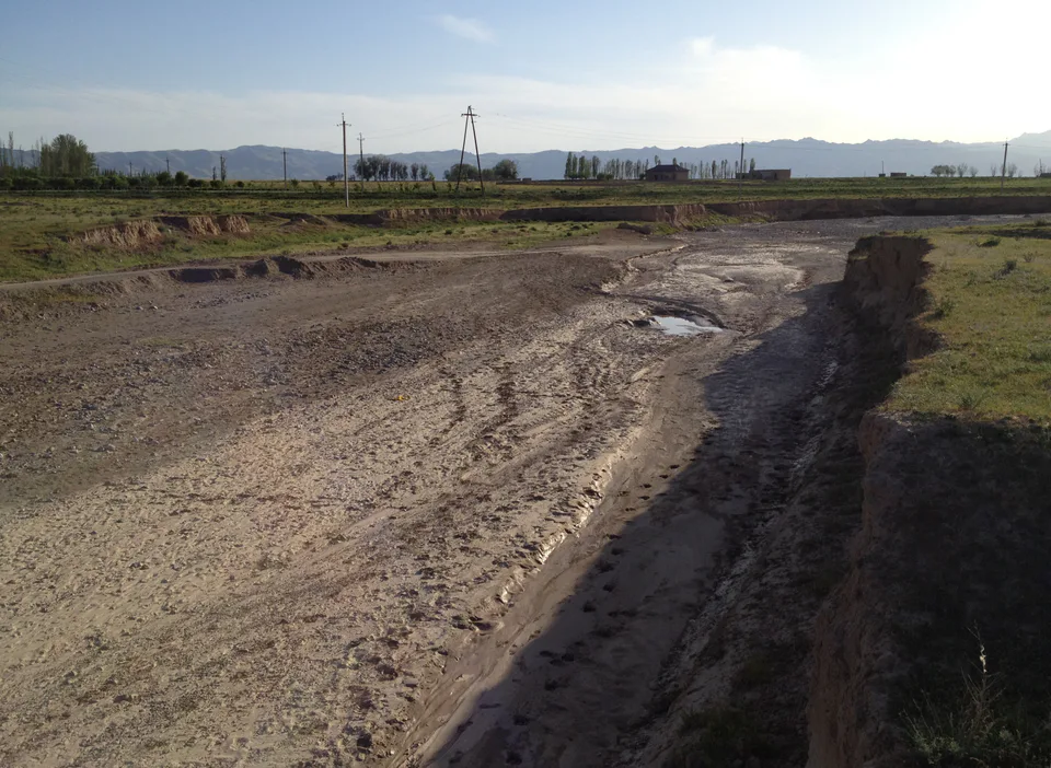
district · Imam al-Bukhari’s shrine and the Nuratau foothills
Qoshrabot District
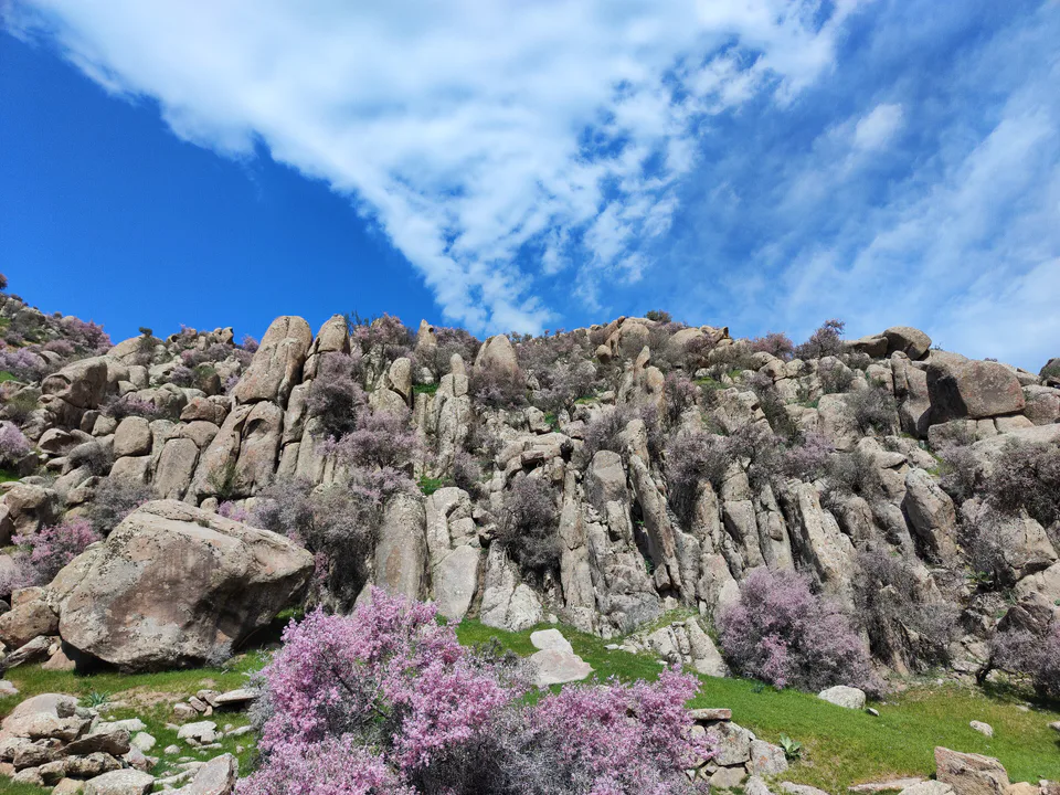
district · The Nuratau mountains, cradle of epic bards
Samarkand District
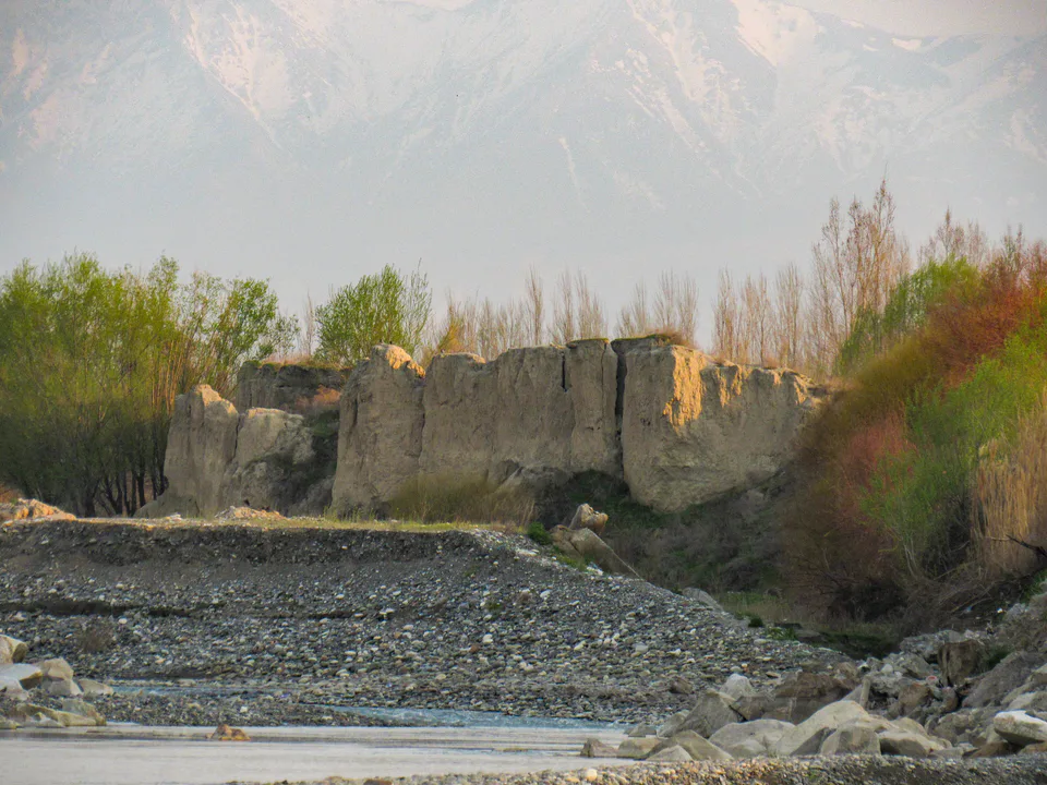
district · The farm belt around the regional capital, abolished in 2026
Toyloq District
district · Orchards on Samarkand's doorstep
Urgut District
district · Bazaar, ancient plane trees and crafts at the foot of the mountains