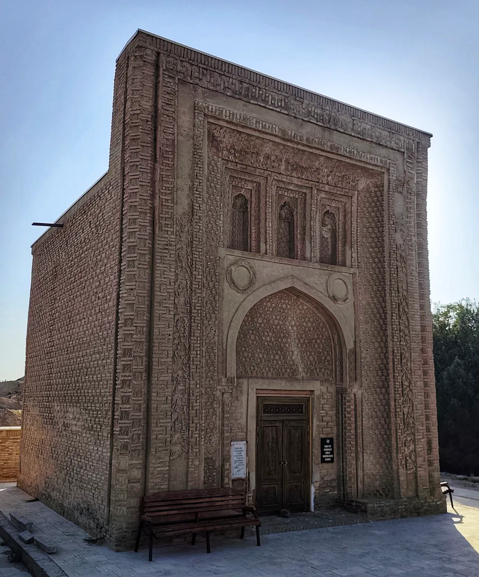
Mausoleum · Nurobod District
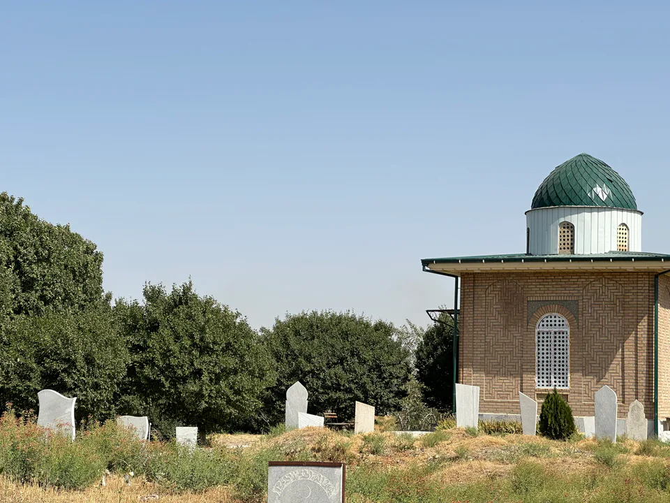
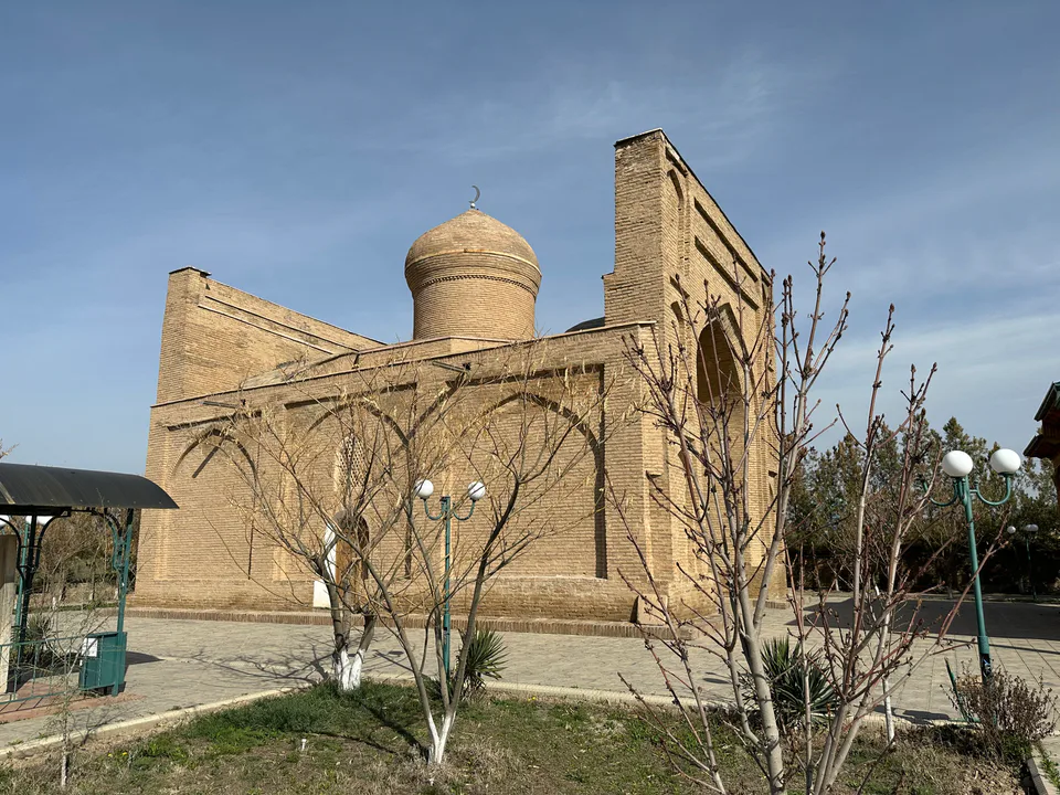
Arab-Ata Mausoleum
One of the oldest dated tombs in Transoxiana
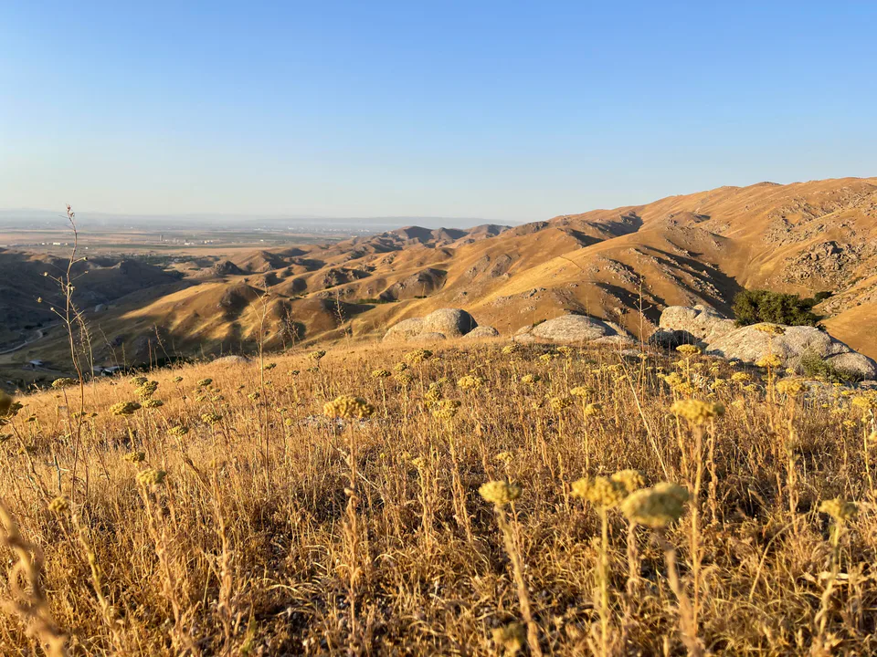
district · Samarkand Region
The region's largest district (4,862 km²): the 10th-century Arab-Ata Mausoleum, the Hazrati Dovud cave shrine, Nurbuloq's spa sanatoriums, uranium mines and a 100 MW solar plant.
Nurobod (Nurabad) is the largest district in Samarkand Region, covering 4,862 km², almost 29 per cent of its territory. It is also the most thinly populated, with around 35 people per square kilometre. Kashkadarya Region lies to the south and Navoi Region to the west. The land is a mix of plateaus, plains and rolling hills tilting from east to west, taking in part of the Karnab steppe. Streams such as the Oqsoy, Anjirli and Omondara run down from the Qoratepa mountains in the east, and the Sobirsoy flows through the district centre. The climate is continental and dry: the annual mean is about 14 °C, summer peaks reach 43 °C and rainfall is around 275 mm a year.
The district has 356,000 ha of pasture and 61,000 ha of rain-fed farmland, and the Nurobod wildlife sanctuary protects its western reaches.
The district was formed on 26 November 1975 as Sovetobod and renamed Nurobod in 1992. Its centre grew in the 1960s from a geologists' camp at the Sobirsoy uranium deposit; until 1983 it was a closed strategic site, and today it hosts the Southern Mining Division of the Navoi Mining and Metallurgical Combine.
The area's history runs far deeper. A Kufic inscription on the portal of the Arab-Ata Mausoleum in the village of Tim gives the date 367 AH, or 977/978 CE, making it one of the earliest dated buildings of the Islamic era in Central Asia. Together with the Samanid Mausoleum in Bukhara it shows Samanid brick architecture at its peak, and since 2008 it has been on UNESCO's World Heritage Tentative List. The name means 'father of the Arabs', perhaps marking the grave of an Arab warrior who fell here in the 8th century. Kattatepa, a 5th–7th-century site near the village of Jom, is also under state protection.
Sheep farming and rain-fed grain are the backbone of the economy, and 50,000 ha of state forest land are earmarked for pistachio plantations. The ground holds granite, marble, limestone and sand and gravel. In May 2022 the 100 MW Nurobod solar photovoltaic plant, built by France's Total Eren, began feeding the grid with about 260 GWh a year. Nurbuloq has 33 sanatoriums using radon and mineral waters and is being turned into a year-round resort town.
The district's most revered shrine is the Hazrati Dovud cave near the village of Oqsoy. Legend has it that the Prophet David, fleeing his enemies, parted the rock with his hands and hid inside; pilgrims climb more than a thousand steps to reach it. Nurobod town is about 65–80 km from Samarkand by road, 1–1.5 hours by car, and buses run between them. The Arab-Ata Mausoleum is roughly another hour's drive west, so arrange a driver in advance.
Nurobod District
Airport, railway station and bus stations — addresses, timetables and the live board.
All transportSamarkand Nearest point: Samarkand, 57 km
12°clear sky
Weather: MET Norway
Nurobod District
Checked hotels and places to eat — with addresses, phone numbers, opening hours and price levels.
Nurobod District
Khokimiyat, public service centre and other offices: addresses, phones, hours.
All offices (12)Khokimiyat
1 Mustaqillik St, Nurobod
Read morePublic Service Centre
2 Yoshlik St, Nurobod
Read moreNurobod District
Codes of the post offices in this city or district.
All postcodes (12)
city · Western gateway to the Zarafshan valley, beside the “Uzbek Sea”
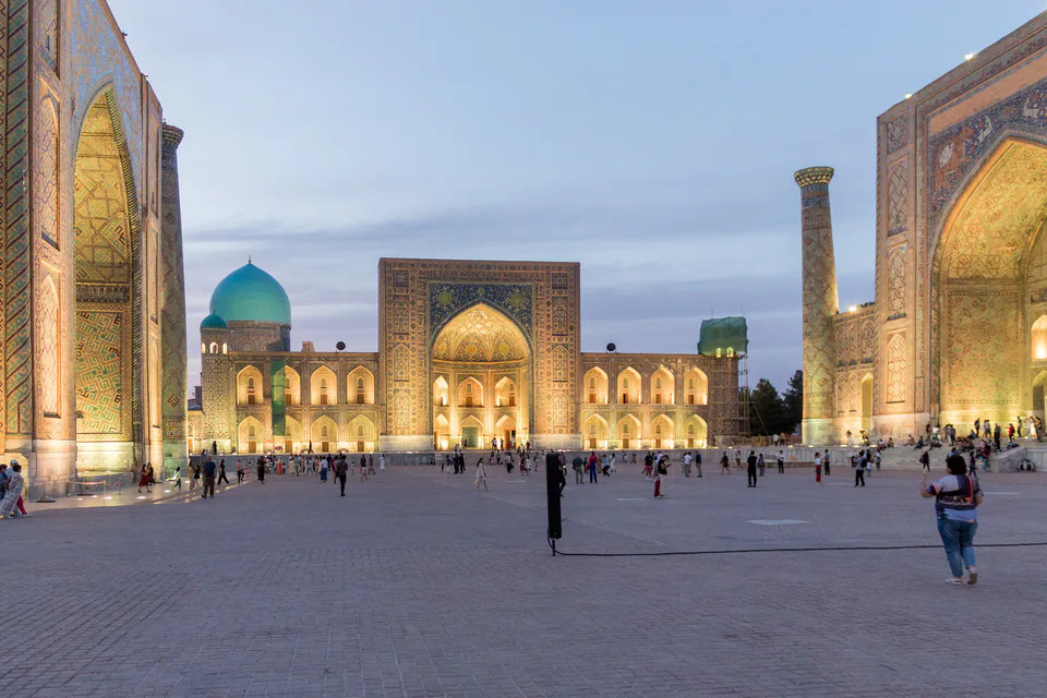
city · Ancient capital, modern regional hub
district · Land of epic bards and Timur's own Shiraz
district · Former seat of the Sogdian ikhshids in the Miankal oasis
district · The Zarafshan’s right bank: Shaybani Khan’s bridge and Sheikh Khudoydod’s shrine
district · Miankal orchards and the 'Kattakurgan Sea'
district · Zerabulak heights and the land at the canal's end
district · An oasis between the Zarafshan’s channels, home to Makhdumi Azam’s Dahbed
district · Orchards on the Dargom and master furniture makers
district · Ancient Dabusiya on the Zarafshan
district · Imam al-Bukhari’s shrine and the Nuratau foothills
district · The Nuratau mountains, cradle of epic bards
district · The farm belt around the regional capital, abolished in 2026
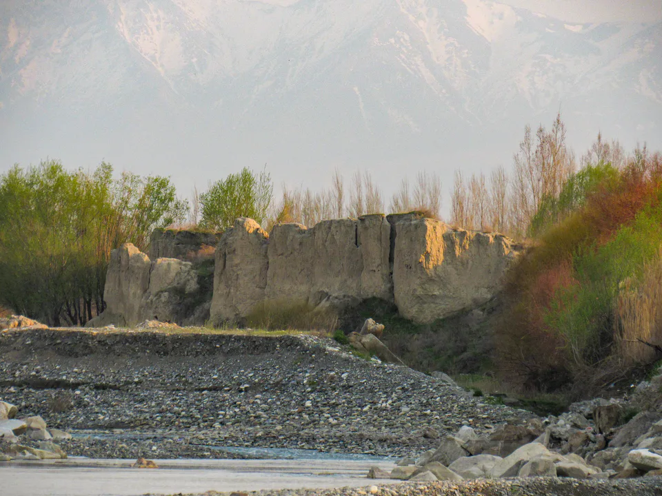
district · Orchards on Samarkand's doorstep
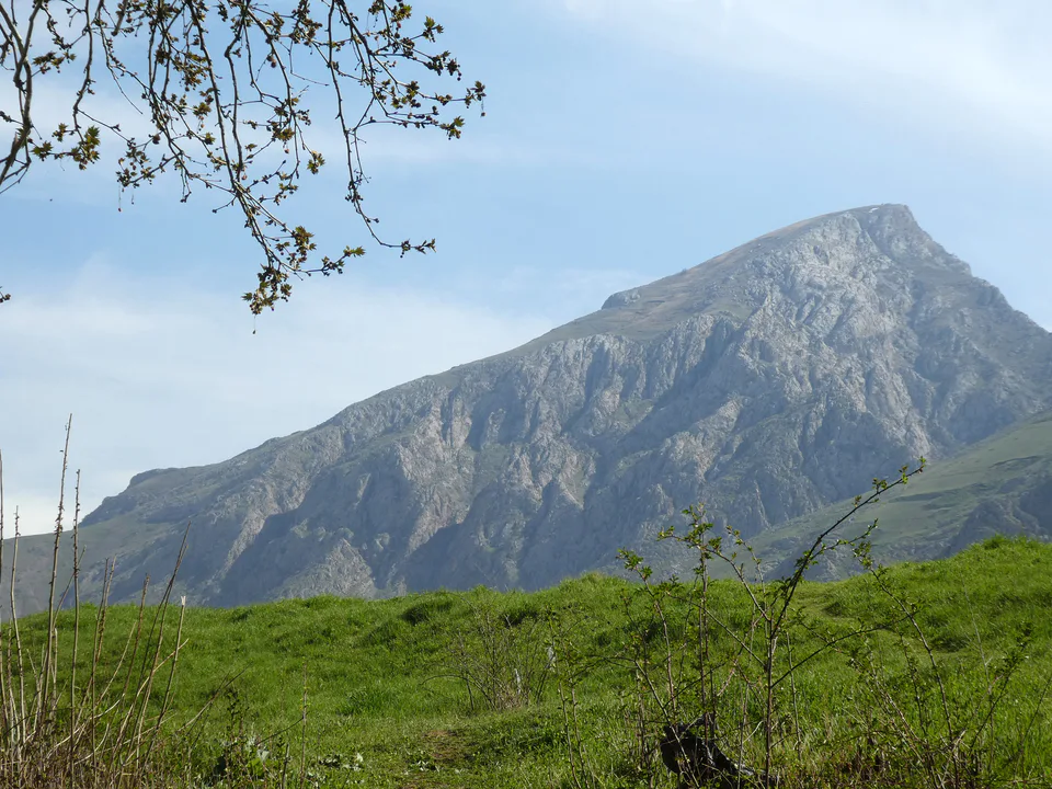
district · Bazaar, ancient plane trees and crafts at the foot of the mountains