Culture & arts · Samarkand District
Konigil Meros Paper Mill
Samarkand paper, reborn
Abolished district (2026)
Samarkand District, centred on Gulobod, is the farming belt around the regional capital. In August 2026 the Senate decided to abolish it, splitting its land between Samarkand city and Toyloq District.
This district was abolished on 2026-08-08; its territory was transferred to the neighbouring district and city. The information below reflects the situation before the reform.
The district wraps around the regional capital on several sides, bordering Oqdaryo, Jomboy, Toyloq, Urgut, Nurobod and Pastdargom districts and, to the south, Qashqadaryo Region. Samarkand city lies within its territory but is not part of it. The district covers 430 km². Its centre is Gulobod, an urban-type settlement about 11 km south of the city on the Great Uzbek Highway to Shahrisabz.
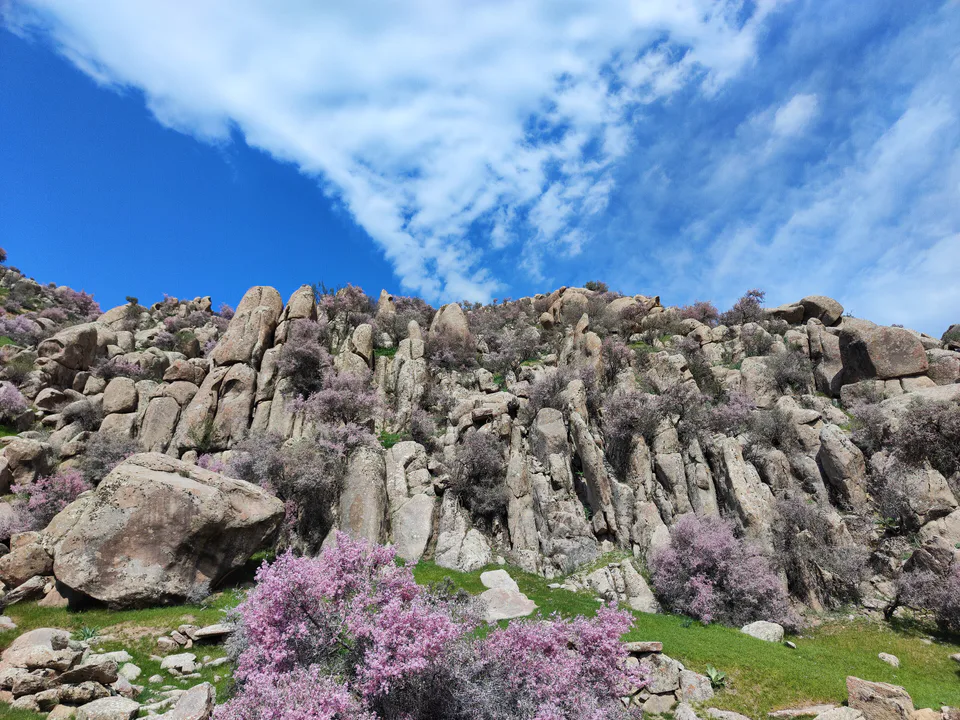
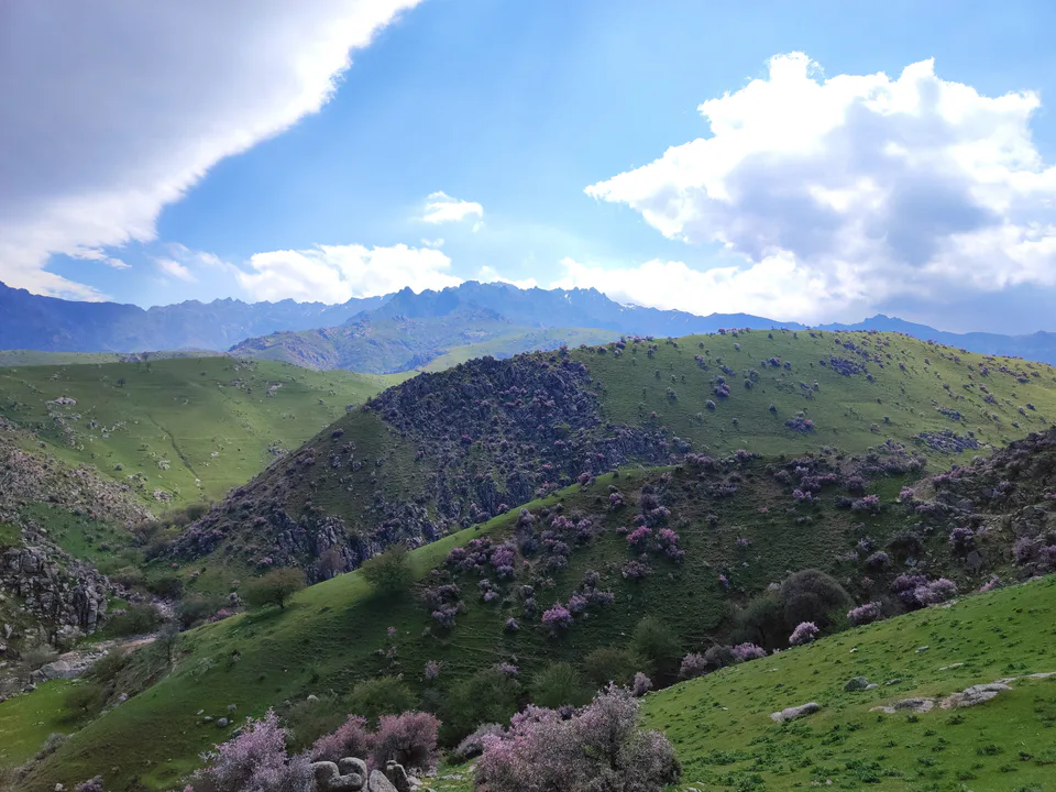
In the north stretches the irrigated plain of the Zarafshan valley; southwards it rises into foothills and then the modest Agalyk and Mirankul mountains. Fields are watered from the Dargom and Eski Anhor canals. The climate is dry and continental, with an average annual temperature of about +13.4 °C and 300–320 mm of rain, falling mostly in spring and autumn. Juniper, wild walnut, pistachio, almond, barberry and a wealth of medicinal herbs grow on the slopes.
Under the Russian Empire this land belonged to the Zarafshan Okrug and, from 1887, to Samarkand Uyezd. The district was created on 29 September 1926; first known as Upper Dargom, it later took the name Samarkand District. Its most revered site is the grave of Khoja Ahrar Vali (1404–1490), the great Naqshbandi sheikh and a powerful statesman of his day. A mosque and madrasa rose beside it in the 17th century, and the neighbouring settlement is still called Khoja Ahrori Vali.
The district is the regional capital’s larder. It has some 17,800 hectares of irrigated land under grain, cotton and vegetables, plus orchards, vineyards, livestock and beekeeping. Regional statistics put its industrial output per head above the regional average. On 1 January 2026 it had 283,600 residents, only 17,600 of them in its two settlements, organised into 74 mahallas.
On 8 August 2026 the Senate of Uzbekistan’s parliament approved a resolution abolishing Samarkand District and redrawing neighbouring boundaries. Of its land, 13,308 hectares pass to Samarkand city and the remaining 28,295 hectares to Toyloq District; 6,263 hectares of farmland absorbed by the city keep their agricultural status. Together with land from Oqdaryo, Pastdargom and Toyloq districts, the city gains 17,226.5 hectares in all. The reform is very recent, so the figures on this page therefore describe the district before abolition.
The main draw for visitors is the Khoja Ahrar complex, 4–5 km south of the Registan, a 10–15-minute taxi ride. In spring and autumn the Agalyk foothills are pleasant for walks. Gulobod is 11 km from Samarkand, 15–20 minutes by car, and since 2026 city buses have been allowed to run up to 12 km beyond the city limits.
Samarkand District
Culture & arts · Samarkand District
Samarkand paper, reborn
Entertainment · Samarkand District
All of Uzbekistan in one ethno-park
Nature · Samarkand District
Mountain air and waterfalls on the city's doorstep
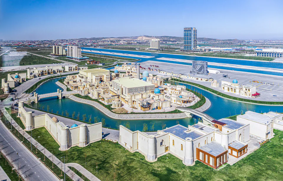
Modern · Samarkand District
Summits, UNESCO and a rowing canal
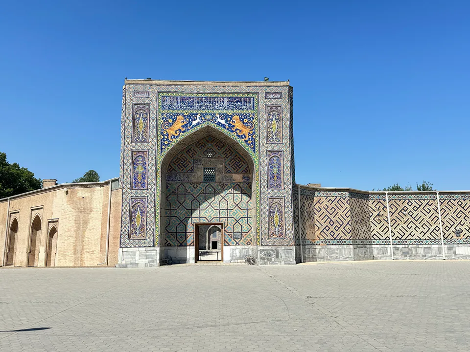
Pilgrimage site · Samarkand District
A Sufi master's shrine and the 'mirror of Sher-Dor'
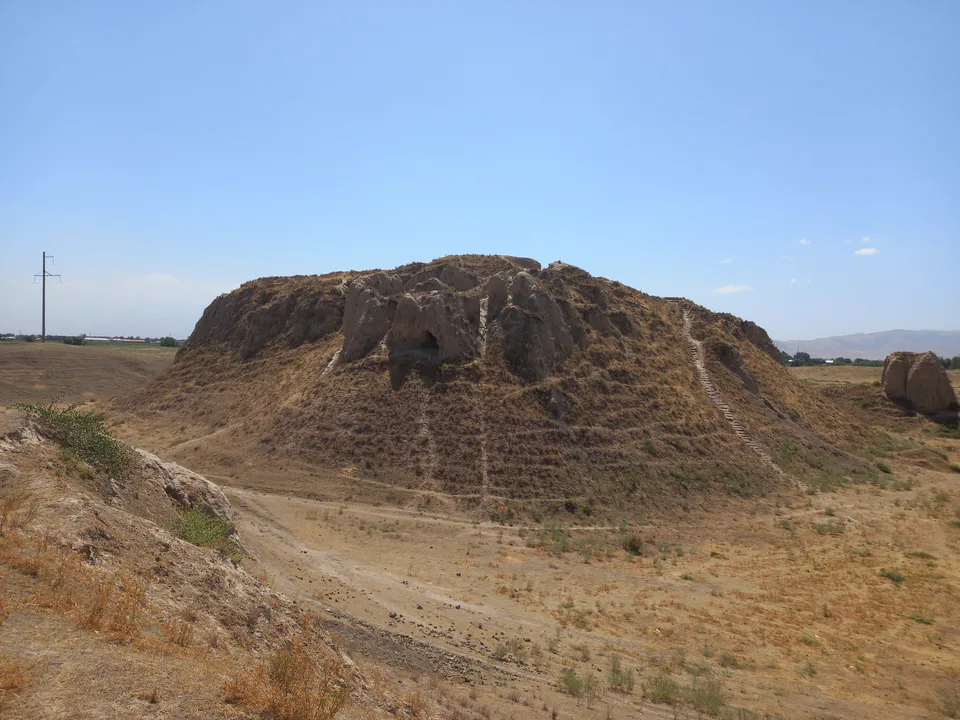
Archaeology · Samarkand District
The burnt castle of Sogdian kings
Samarkand District
Airport, railway station and bus stations — addresses, timetables and the live board.
All transportSamarkand Nearest point: Samarkand, 8 km
14°clear sky
Weather: MET Norway
Samarkand District
Checked hotels and places to eat — with addresses, phone numbers, opening hours and price levels.
Five-star tower run by Minyoun Hospitality
Five-star Hilton in the Silk Road Samarkand complex
The Hilton closest to the Eternal City
Youthful hotel named in honour of Ulugh Beg
Canal-side hotel named after Igor Savitsky
Hilton Garden Inn with an on-site wellness clinic
One of the complex's most affordable hotels
Canal-side hotel themed on Navruz
Garden guesthouse with a pool on the city's north side
Timber villas with private pools at Silk Road Samarkand
Resort with a pool at the foot of the Agalyk hills
400-seat Uzbek restaurant in the Eternal City
Garden restaurant among the trees in Samarkand District
Shashlik.uz grill restaurant with a terrace on the ring road
Contemporary Uzbek restaurant and bar at the Lia! hotel
Steakhouse at the Hilton Samarkand Regency
Asian-European restaurant at the Silk Road by Minyoun hotel
Teahouse with over-water pavilions in the Eternal City
Chicken-wing spot in the foothills of the Agalyk Mountains
Lunchtime plov centre by the Tagi Chinor bus stop
Village plov centre where people queue at the kazan
Samarkand District
Khokimiyat, public service centre and other offices: addresses, phones, hours.
All offices (12)Khokimiyat
Gulobod
Read morePublic Service Centre
Gulobod
Read moreSamarkand District
Codes of the post offices in this city or district.
All postcodes (15)
city · Western gateway to the Zarafshan valley, beside the “Uzbek Sea”
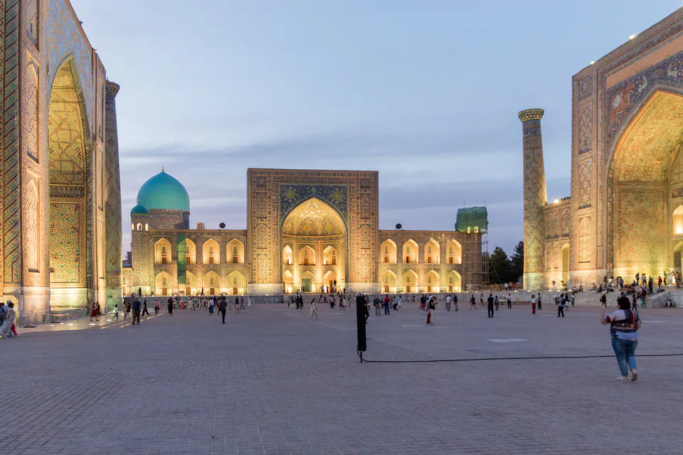
city · Ancient capital, modern regional hub
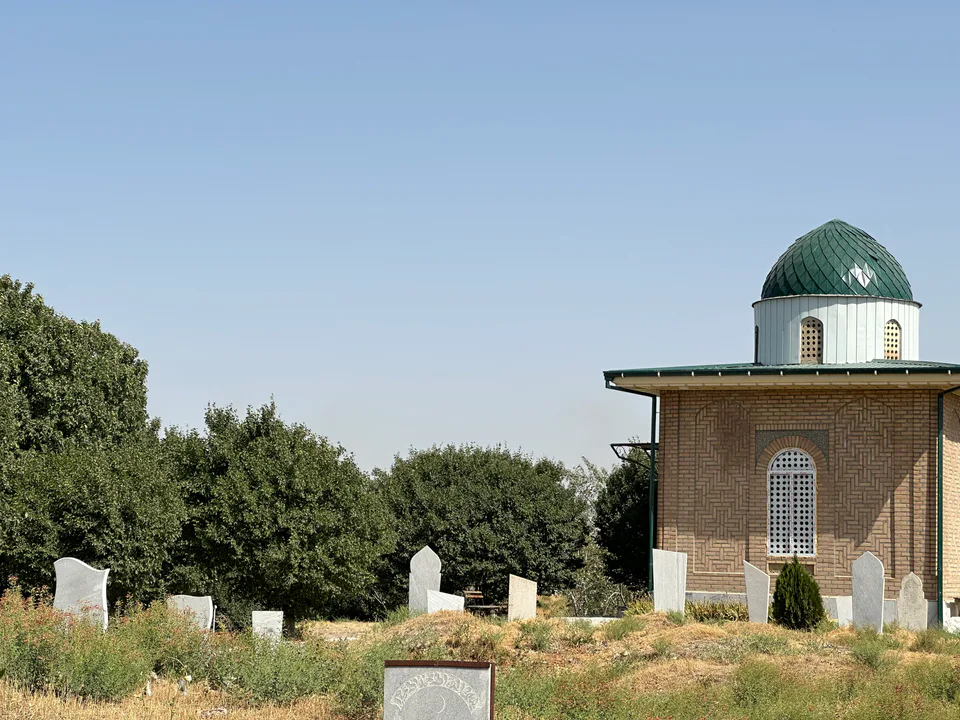
district · Land of epic bards and Timur's own Shiraz
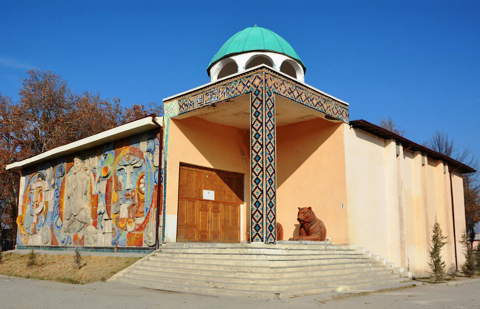
district · Former seat of the Sogdian ikhshids in the Miankal oasis
district · The Zarafshan’s right bank: Shaybani Khan’s bridge and Sheikh Khudoydod’s shrine
district · Miankal orchards and the 'Kattakurgan Sea'
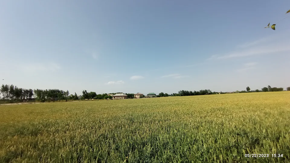
district · Zerabulak heights and the land at the canal's end
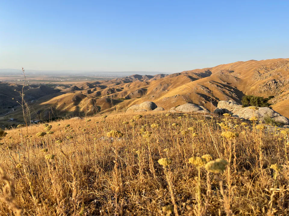
district · A Samanid tomb, a cave shrine and healing springs
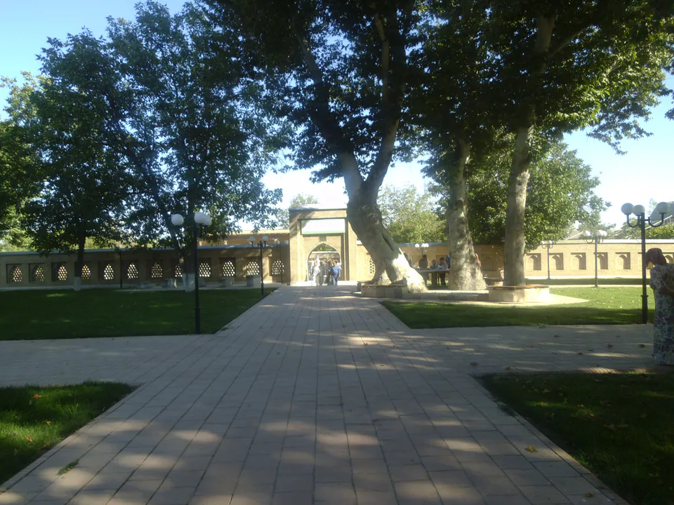
district · An oasis between the Zarafshan’s channels, home to Makhdumi Azam’s Dahbed
district · Orchards on the Dargom and master furniture makers
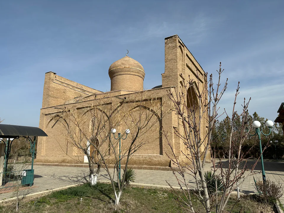
district · Ancient Dabusiya on the Zarafshan
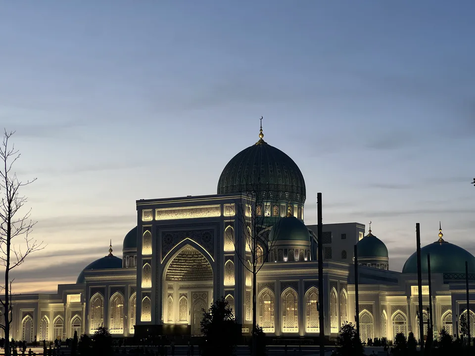
district · Imam al-Bukhari’s shrine and the Nuratau foothills
district · The Nuratau mountains, cradle of epic bards
district · Orchards on Samarkand's doorstep
district · Bazaar, ancient plane trees and crafts at the foot of the mountains