Pilgrimage site · Jomboy District
Sheikh Khudoydod Vali Shrine
Shrine of a Yasawi sheikh and wrestler
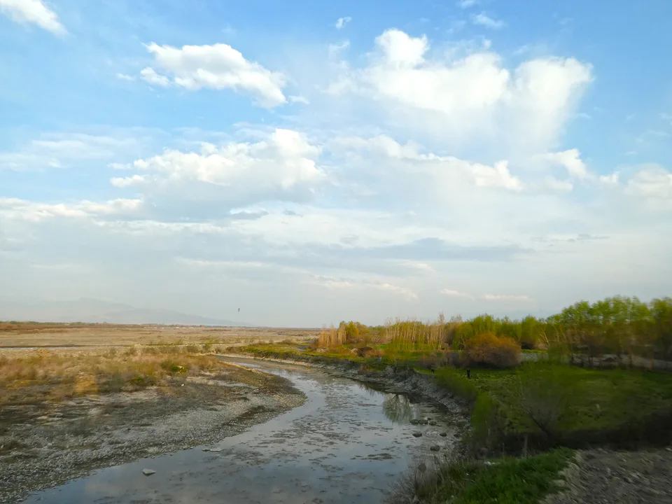
district · Samarkand Region
Jomboy, on the Zarafshan’s right bank north-east of Samarkand, guards the Tashkent road: a lone 16th-century bridge arch, the shrine of Sheikh Khudoydod Vali and the riverside forests of a national park.
The district lies north-east of Samarkand on the right bank of the Zarafshan. It borders Gallaorol District of Jizzakh Region to the north, as well as Bulungur, Toyloq, Samarkand, Oqdaryo and Payariq districts and Samarkand city, and covers 550 km². The Samarkand–Tashkent highway (M39) and the Samarkand–Jizzakh railway run through it, making Jomboy the regional capital’s northern gateway.
Zarafshan National Park follows the river. Founded as a nature reserve in 1975 and upgraded to a national park in 2018, it runs along the right bank from the Pervomay dam on the Tajik border to the Chupon-ota heights opposite Samarkand. It protects the last surviving foothill tugai forest in Uzbekistan, thickets of sea buckthorn, oleaster and willow, and the endemic Zarafshan pheasant.
Place-name scholars link the name Jomboy to a Kazakh clan. In 1502 Shaybani Khan, returning from Bukhara to Samarkand, built a seven-arched bridge at the Jomboy crossing of the Zarafshan; three arches still stood in the 1840s, and today only one survives. The Yasawi sheikh and poet Khudoydod Vali (1461–1532) spent his last years in the village of Gazira and died there; a memorial complex stands over his grave.
The railway reached Jomboy in 1899, and in 1911 a new-method (Jadid) school opened here at the initiative of Mahmudkhoja Behbudiy. The district was created on 9 February 1935, abolished in December 1962 and restored on 7 December 1970. The writer and critic Ahmad Azam was born in Gazira in 1949.
On 1 January 2026 the district had 198,400 residents, 43,200 of them in Jomboy town and five settlements: Dehqonobod, Eski Jomboy, Khoja, Gazira and Kattaqishloq. There are 38 mahallas. According to regional statistics, large enterprises put Jomboy second only to Samarkand city in industrial output per head. Farms grow cotton, grain and vegetables, and traditional basket weaving survives.
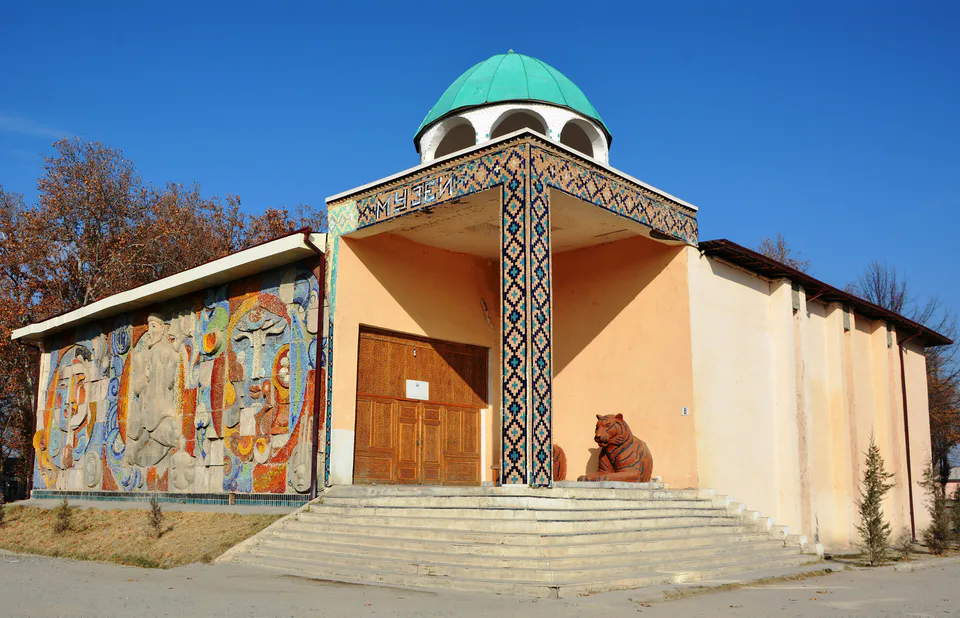
Visitors come for the shrine of Sheikh Khudoydod Vali at Gazira, the lone surviving arch of Shaybani Khan’s bridge over the Zarafshan and the district museum of local history, while nature lovers head for the riverside forests of the national park.
Jomboy town is about 16 km north-east of Samarkand by road, some 20 minutes by car; Gazira is 31 km away, 35–40 minutes. Buses and shared taxis run from Samarkand.
Jomboy District
Airport, railway station and bus stations — addresses, timetables and the live board.
All transportSamarkand Nearest point: Samarkand, 13 km
12°clear sky
Weather: MET Norway
Jomboy District
Checked hotels and places to eat — with addresses, phone numbers, opening hours and price levels.
Jomboy District
Khokimiyat, public service centre and other offices: addresses, phones, hours.
All offices (12)Khokimiyat
1 Mustaqillik St, Jomboy
Read morePublic Service Centre
Toshkent St, Toshkent mahalla, Jomboy
Read more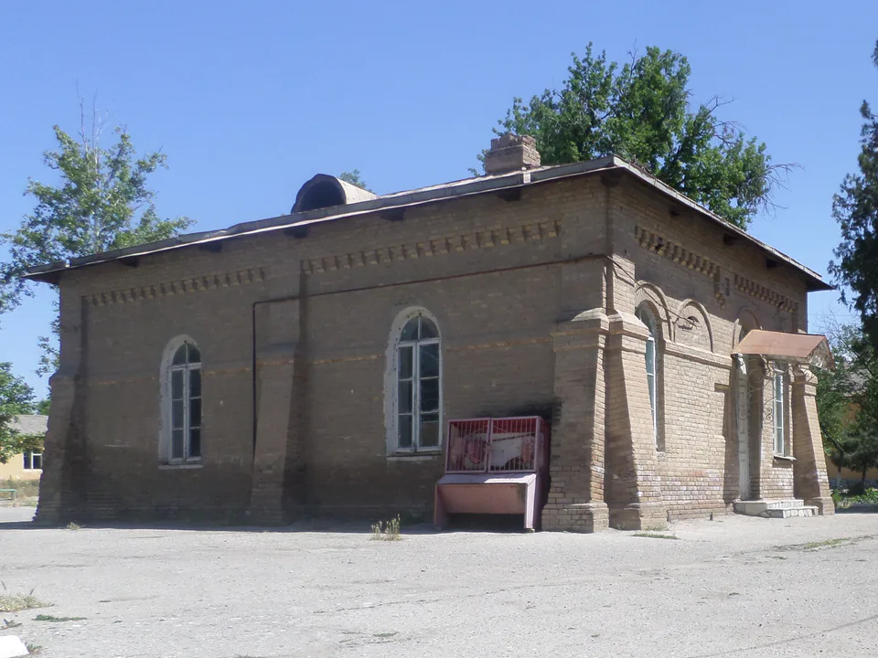
city · Western gateway to the Zarafshan valley, beside the “Uzbek Sea”
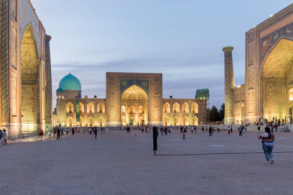
city · Ancient capital, modern regional hub
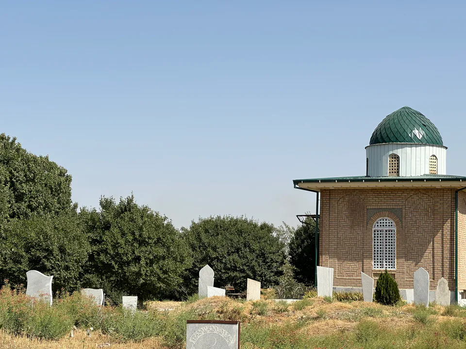
district · Land of epic bards and Timur's own Shiraz
district · Former seat of the Sogdian ikhshids in the Miankal oasis
district · Miankal orchards and the 'Kattakurgan Sea'
district · Zerabulak heights and the land at the canal's end
district · A Samanid tomb, a cave shrine and healing springs
district · An oasis between the Zarafshan’s channels, home to Makhdumi Azam’s Dahbed
district · Orchards on the Dargom and master furniture makers
district · Ancient Dabusiya on the Zarafshan
district · Imam al-Bukhari’s shrine and the Nuratau foothills
district · The Nuratau mountains, cradle of epic bards
district · The farm belt around the regional capital, abolished in 2026
district · Orchards on Samarkand's doorstep
district · Bazaar, ancient plane trees and crafts at the foot of the mountains