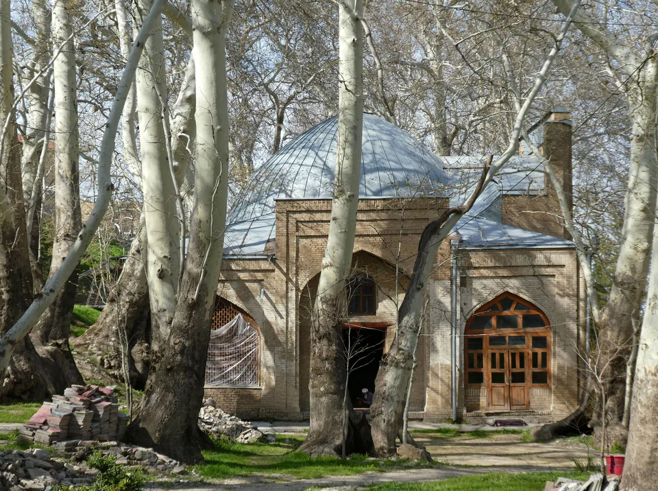
Park & garden · Urgut District
Chor-Chinor Garden
A shrine in the shade of ancient plane trees
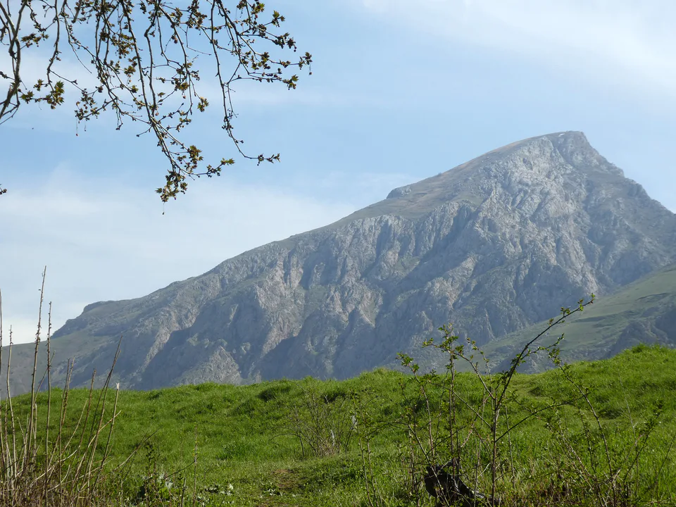
district · Samarkand Region
Urgut is the region’s most populous district, below the Zarafshan Range: a famous weekend bazaar, the venerable plane trees of Chor-Chinor, suzani and tobacco, and the Amankutan cave nearby.
The district lies in the south-east of the region, on the northern slopes of the Chaqilikalon and Qoratepa mountains, the western spur of the Zarafshan Range, at an average altitude of about 1,000 metres. It borders Tajikistan to the east, Qashqadaryo Region to the south, Toyloq and Bulungur districts to the north and Samarkand District to the west, and covers 1,120 km². The slopes are limestone and shale cut by narrow, deep stream valleys, and there are marble deposits around Amankutan and Chaqilikalon.
The climate is cooler and wetter than in the valley, with 450–500 mm of precipitation a year, mostly in winter and spring, and July averages of around 24–25 °C. The Urgutsoy stream runs through the town, while the Kamongaron and Qoratepa reservoirs store spring water for summer irrigation. Juniper, pistachio, almond, hawthorn, wild rose, rhubarb and cumin grow in the hills; the area lies in a seismic zone rated 7.
Urgut is an old settlement: the Baburnama calls it Arkat, and 18th-century documents Arkut. Under the Emirate of Bukhara it was the seat of a semi-independent bekdom, ruled from the 18th century until 1868 by a local Ming dynasty. The historian Muhammad Yaqub Bukhari recorded that a strong earthquake in 1797–1798 destroyed Urgut’s fortress. On 12 May 1868 Russian troops under Colonel Abramov took the town. The district was first formed in 1926; official records date the present district to 31 December 1964. Urgut is the birthplace of the stage and screen actor Rajab Adashev (born 1944), a People’s Artist of Uzbekistan.
With 585,800 people on 1 January 2026, Urgut is the region’s largest district; only Samarkand city has more residents. Farming centres on tobacco, grain, potatoes, fruit, grapes and livestock, with extensive mountain pastures. Local industry includes tobacco curing, marble processing, carpet weaving and food production, and a presidential decree of 12 January 2017 created the Urgut Free Economic Zone. Urgut has always been a town of craftsmen, known for knives, quilted chapan robes and, above all, suzani embroidery.
Urgut’s bazaar is one of the biggest and most colourful in the region, selling clothes, suzanis, carpets, jewellery, local teapots and bowls, and leather boots; it is busiest on Saturdays and Sundays. Three kilometres from the centre, beside a spring, the Chor-Chinor shrine shelters giant plane trees that legend says are over a thousand years old; the hollow of one trunk can hold about ten people. The complex also has a mosque built in 1914.
Towards the mountains lies the Amankutan cave, a Middle Palaeolithic (Mousterian) campsite. The surrounding Amankutan National Park and the Takhtakaracha Pass on the Qashqadaryo border are known for hairpin bends, viewpoints and tandir-roasted lamb. At Navruz, traditional festivities fill Urgut’s hills.
Urgut is about 40 km south-east of Samarkand by road, 45 minutes to an hour by car. Buses and shared taxis run from Samarkand; for the bazaar, arrive early on a weekend morning.
Urgut District
Park & garden · Urgut District
A shrine in the shade of ancient plane trees
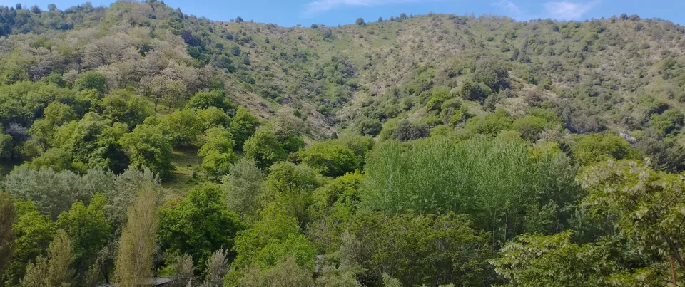
Nature · Urgut District
A Stone Age cave in a wooded mountain valley
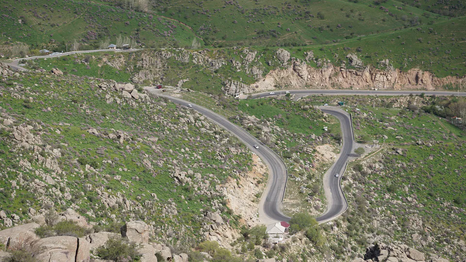
Nature · Urgut District
A mountain pass on a regional border
Bazaar · Urgut District
A craft-filled weekend market
Urgut District
Airport, railway station and bus stations — addresses, timetables and the live board.
All transportSamarkand Nearest point: Samarkand, 37 km
12°clear sky
Weather: MET Norway
Urgut District
Checked hotels and places to eat — with addresses, phone numbers, opening hours and price levels.
Family guesthouse with an orchard in the mountain village of Tersak
New hotel with a restaurant in Urgut town
Guesthouse with mountain views in Tersak
Small family-run hotel on the edge of Urgut
Urgut District
Khokimiyat, public service centre and other offices: addresses, phones, hours.
All offices (14)Khokimiyat
104 Alisher Navoiy Ave, Urgut
Read morePublic Service Centre
Alisher Navoiy Ave, Dostlik mahalla, Urgut
Read more
city · Western gateway to the Zarafshan valley, beside the “Uzbek Sea”
city · Ancient capital, modern regional hub
district · Land of epic bards and Timur's own Shiraz
district · Former seat of the Sogdian ikhshids in the Miankal oasis
district · The Zarafshan’s right bank: Shaybani Khan’s bridge and Sheikh Khudoydod’s shrine
district · Miankal orchards and the 'Kattakurgan Sea'
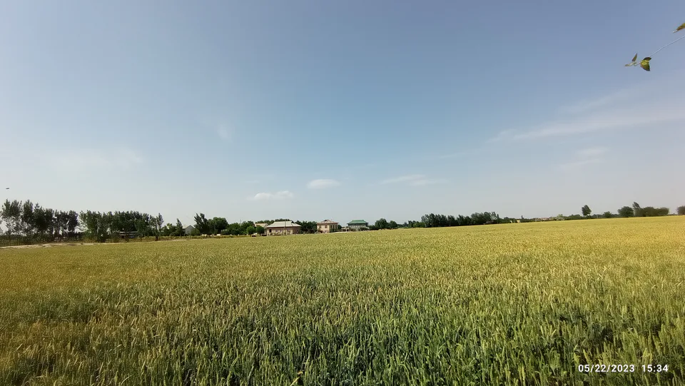
district · Zerabulak heights and the land at the canal's end
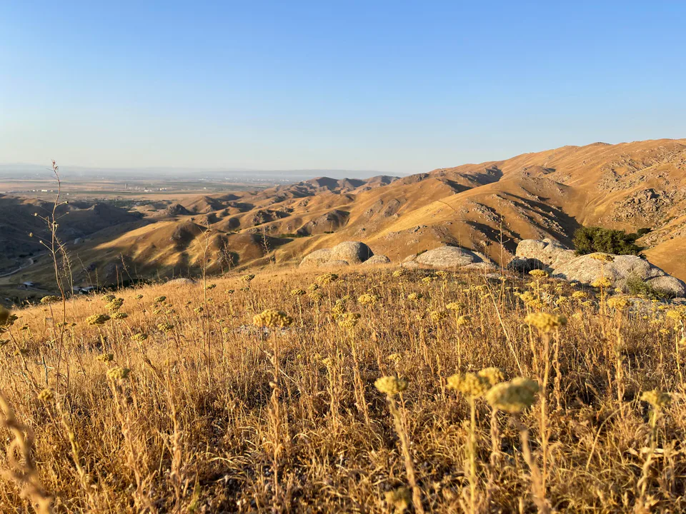
district · A Samanid tomb, a cave shrine and healing springs
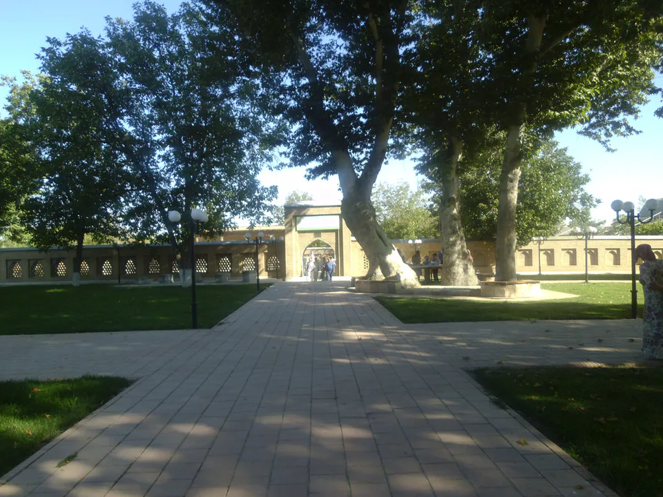
district · An oasis between the Zarafshan’s channels, home to Makhdumi Azam’s Dahbed
district · Orchards on the Dargom and master furniture makers
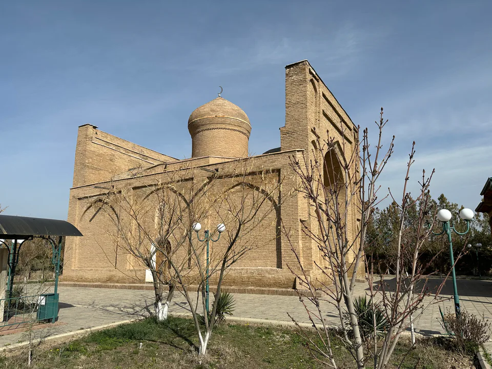
district · Ancient Dabusiya on the Zarafshan
district · Imam al-Bukhari’s shrine and the Nuratau foothills
district · The Nuratau mountains, cradle of epic bards
district · The farm belt around the regional capital, abolished in 2026
district · Orchards on Samarkand's doorstep