Nature · Kattakurgan District
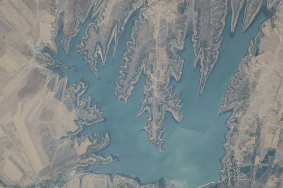
Kattakurgan Reservoir
Known locally as the “Uzbek Sea”
district · Samarkand Region
A large rural district in the west of the region, home to Uzbekistan's first reservoir, the old town of Payshanba on the Miankal 'island', livestock, grapes and transformer factories.
Kattakurgan District occupies the broad plain of the Zarafshan valley in the west of the region. The town of Kattakurgan itself is a separate administrative unit; the district is run from Payshanba, an urban-type settlement 12 km to the north. Payshanba sits on the historic Miankal, the 'island' enclosed by the Zarafshan's two arms, the Akdarya and the Karadarya. The land slopes gently from east to west at an average of about 450 m above sea level. Summers are hot and dry, with July averaging close to 29 °C, while January hovers around −2 °C and annual rainfall is only about 280 mm. Fields are watered by the two rivers and by old canals drawn from them, such as the Miankal, Shavat and Narpay.
The district's best-known landscape is the reservoir locals call the 'Kattakurgan Sea'. Uzbekistan's first reservoir, it was built in a natural basin between 1940 and 1951, and after reconstruction in 1968 its capacity reached 900 million m³. It irrigates more than 90,000 ha across Samarkand and Bukhara regions and supports a fishery.
According to the regional administration, the district was formed on 2 February 1929 (some sources give 1926), and in 1959 it absorbed the neighbouring Karadarya District, which had been run from Payshanba. The name Kattakurgan means 'great fortress'. Under the Emirate of Bukhara, Miankal was one of the most densely settled and prosperous corners of the realm. By the late 18th century Payshanba had become a walled town with three gates, known for weaving, block printing, jewellery, pottery and coppersmithing; a madrasa was built there in 1791.
In the early 20th century the countryside around Payshanba was the stage for a popular revolt against colonial rule led by Namoz Pirimqul-ogli, remembered in folklore as a Robin Hood figure who took from the rich to give to the poor. The district was also the birthplace of the poet Shavqiy Kattakurgani (1785–1861), who studied in Bukhara and wrote in Uzbek, Tajik and Arabic; copies of his divan survive in the manuscript collections of Tashkent and Dushanbe.
The district has 32,700 ha of irrigated land and 48,900 ha of pasture. Every mahalla keeps livestock, ten specialise in grapes and thirteen in vegetables, strawberries and raspberries. Industry is led by electrical engineering: twelve transformer manufacturers are being grouped into a cluster, and to staff a planned machine-building zone, Kattakurgan State Pedagogical Institute is opening an engineering faculty with Turin Polytechnic University in Tashkent from the 2026/2027 academic year.
In summer the reservoir shores fill with anglers and picnickers, and recreation areas are planned along them and on the banks of the Karadarya. Payshanba keeps the lanes of its old town and the Kalandarkhona Friday mosque. The district centre is about 90–100 km from Samarkand, roughly an hour and a half by car via Kattakurgan. Alternatively, take a train to Kattakurgan station and a taxi for the last 12 km to Payshanba.
Kattakurgan District
Kattakurgan District
Airport, railway station and bus stations — addresses, timetables and the live board.
All transportNavoiy Nearest point: Navoiy, 73 km
11°clear sky
Weather: MET Norway
Kattakurgan District
Khokimiyat, public service centre and other offices: addresses, phones, hours.
All offices (12)Khokimiyat
1 Alisher Navoiy St, Payshanba
Read morePublic Service Centre
Mustaqillik St, Kadan mahalla, Kattakurgan District
Read moreKattakurgan District
Codes of the post offices in this city or district.
All postcodes (18)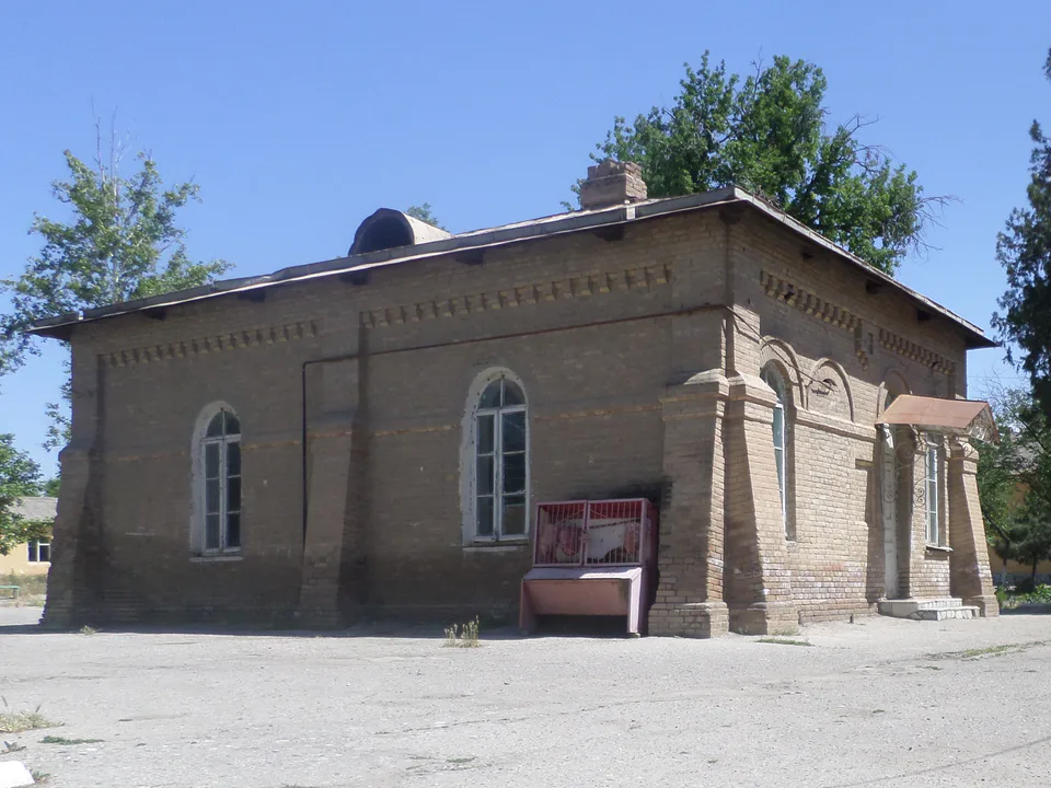
city · Western gateway to the Zarafshan valley, beside the “Uzbek Sea”
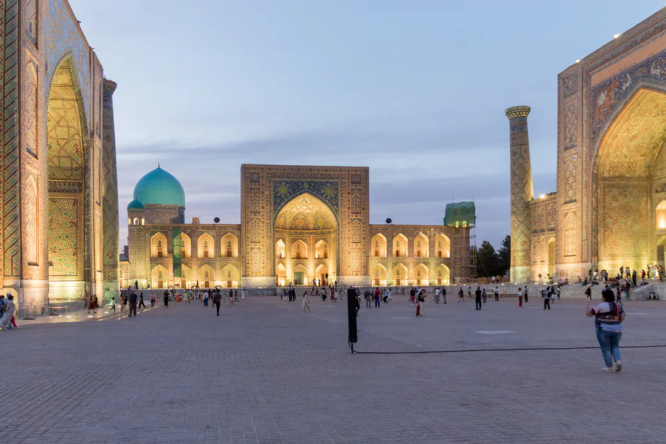
city · Ancient capital, modern regional hub
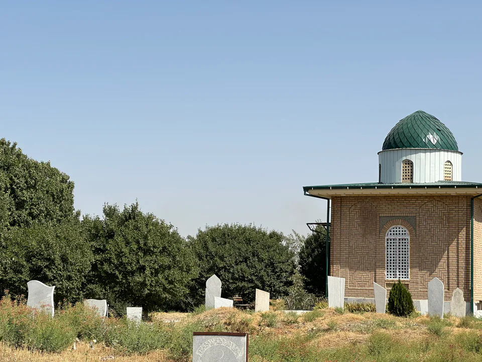
district · Land of epic bards and Timur's own Shiraz
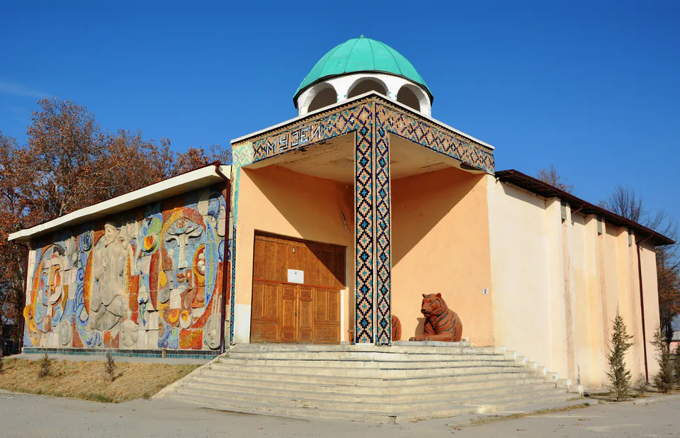
district · Former seat of the Sogdian ikhshids in the Miankal oasis
district · The Zarafshan’s right bank: Shaybani Khan’s bridge and Sheikh Khudoydod’s shrine
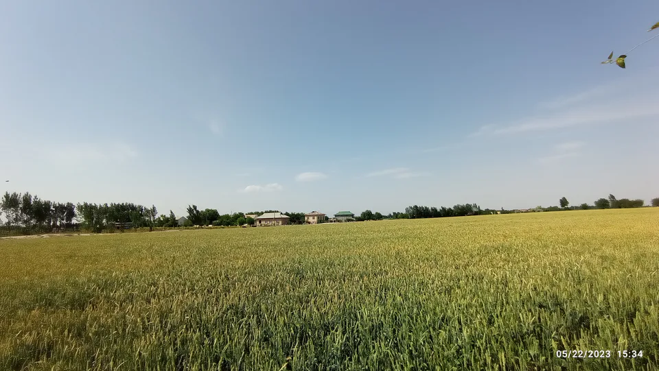
district · Zerabulak heights and the land at the canal's end
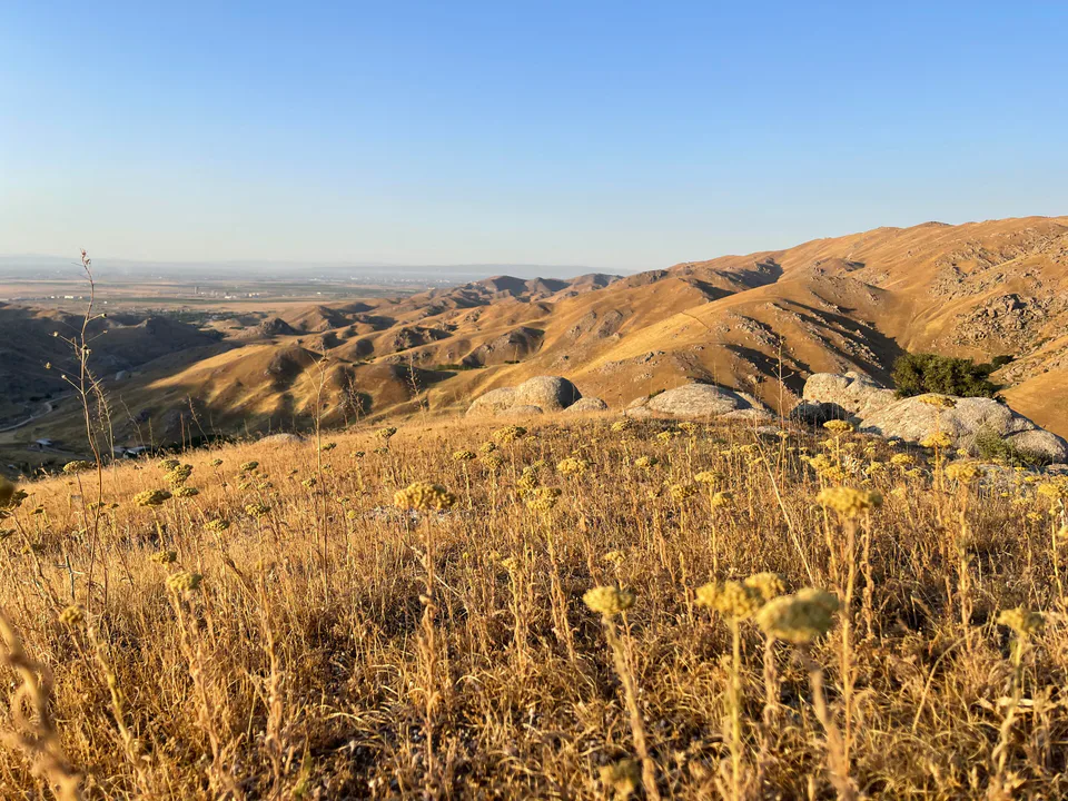
district · A Samanid tomb, a cave shrine and healing springs
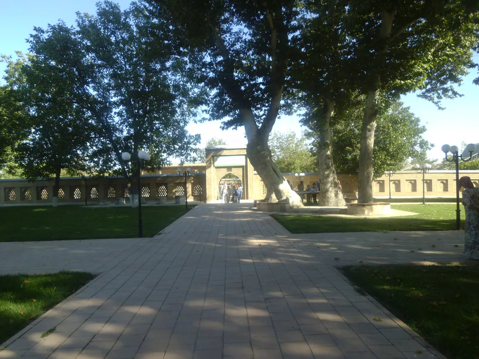
district · An oasis between the Zarafshan’s channels, home to Makhdumi Azam’s Dahbed
district · Orchards on the Dargom and master furniture makers
district · Ancient Dabusiya on the Zarafshan
district · Imam al-Bukhari’s shrine and the Nuratau foothills
district · The Nuratau mountains, cradle of epic bards
district · The farm belt around the regional capital, abolished in 2026
district · Orchards on Samarkand's doorstep
district · Bazaar, ancient plane trees and crafts at the foot of the mountains