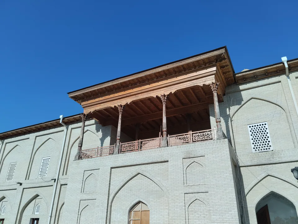
Museum · Andijan
Andijan Regional Museum of History and Culture
The valley's main treasure house
Archaeology · Marhamat District
Mingtepa, on the edge of Marhamat, is one of the largest ancient city sites in the Fergana Valley. Many archaeologists identify it with Ershi, the Dayuan capital of Chinese chronicles, but the question is still open.
Chinese histories of the 2nd and 1st centuries BC describe Dayuan, a rich and populous country in the Fergana Valley with more than seventy towns, irrigated farming, grape wine and, above all, the thoroughbred horses the Chinese called 'heavenly horses'. To obtain them, the Han emperor Wudi twice sent armies under General Li Guangli, in 104 and 102 BC.
On the second campaign the Chinese besieged the Dayuan capital, Ershi, for 40 days, broke through its outer wall and cut off its water supply. The nobles of Ershi then killed their king and offered the Chinese as many horses as they wanted; the inner city itself was never taken.
There is no consensus on where Ershi stood. After fieldwork in the 1940s and 1950s, A. N. Bernshtam and Yu. A. Zadneprovsky identified it with Mingtepa, a view shared by the Uzbek archaeologists led by B. Matboboyev who have excavated here since the 1990s. A joint Uzbek-Chinese expedition working since 2012 has uncovered the double-wall system the sources describe: an outer wall, western and southern gates, and elaborate fortifications in front of the gates.
Other scholars have looked for Ershi near Ura-Tyube (Istaravshan) or elsewhere in the valley. The Chinese texts themselves complicate matters: the Shiji calls the capital Ershi, while the Hanshu names Guishan, often linked with Khujand. 'Mingtepa is Ershi' is therefore a strong and widely held hypothesis rather than a proven fact.
Mingtepa consists of an inner city, an outer city and a citadel. The 38-hectare inner city is still enclosed on all four sides by its defensive wall. The site has 52 mounds; the central mound in the north-west, probably the citadel, has more than 10 metres of occupation layers, the lowest dating to the 3rd–2nd centuries BC. Every 38–40 metres the wall was reinforced with towers 18 metres long and 9 metres wide, containing guardrooms with arrow slits. Built of rammed earth and mud brick, the wall was 7 metres thick at the base and 4 metres at the top, with a moat outside.
The national heritage register dates the site from the 4th century BC to the 5th century AD; other sources start it in the 3rd century BC. In 2023 Mingtepa was placed on UNESCO's Tentative List as part of the serial nomination Silk Roads: Fergana-Syrdarya Corridor.
The Chinese chronicles say Dayuan's towns had double walls. Finding exactly that at Mingtepa, an inner and an outer circuit, did much to strengthen archaeologists' confidence in the Ershi theory.
Museum · Andijan
The valley's main treasure house
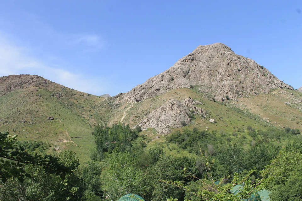
Pilgrimage site · Khojaobod District
An old shrine in the foothills
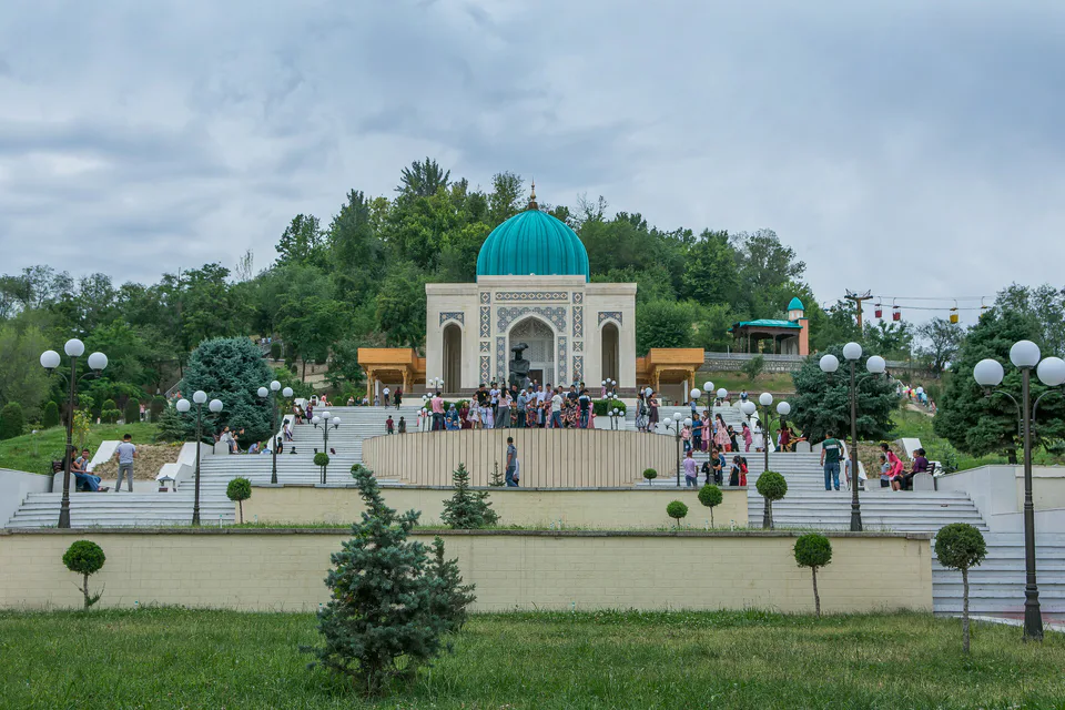
Park & garden · Andijan
A memorial garden to Babur above Andijan
Fortress · Andijan
From garrison fort to art gallery
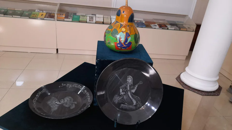
Museum · Andijan
Where Babur grew up
Ensemble · Andijan
The tallest minaret in the Fergana Valley
Pilgrimage site · Jalaquduq District
A shrine linked to an Arab conqueror