Archaeology · Bakhmal District
Tugunbulak and Tashbulak
Medieval mountain cities revealed by lidar
district · Jizzakh Region
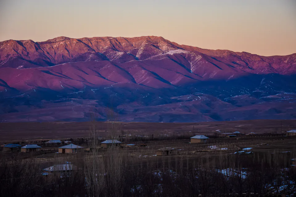
A mountainous district in the south of the region: the slopes of the Turkestan and Malguzar ranges, walnut groves and apple orchards, and medieval cities revealed by lidar.
Bakhmal District was formed on 16 October 1970. Its centre is the small town of Usmat, and it has seven small towns and more than a hundred villages. It covers the northern slopes of the Malguzar mountains and the Turkestan Range, from foothill plains to high peaks.
The mountains receive up to 750 mm of rain a year, making this one of the wettest parts of the region. Juniper and walnut, almond, wild apple, cherry and hawthorn grow on the slopes, and the valleys are full of orchards, vineyards and mulberry groves. Most people are Uzbeks, with a Kyrgyz minority.
The Sad Vaqqos Ota spring is a local place of pilgrimage. In 2024 drone lidar mapped the 6th–11th-century mountain cities of Tugunbulak and Tashbulak here at 2,000–2,200 metres; Tugunbulak alone covers 120 hectares.
Bakhmal District
Bakhmal District
Airport, railway station and bus stations — addresses, timetables and the live board.
All transportJizzakh Nearest point: Jizzakh, 43 km
9°clear sky
Weather: MET Norway
Bakhmal District
Khokimiyat, public service centre and other offices: addresses, phones, hours.
All offices (4)Khokimiyat
42 Mustaqillik St, Osmat
Read morePublic Service Centre
36 X. Olimjon St, Osmat mahalla, Baxmal District
Read moreBakhmal District
Codes of the post offices in this city or district.
All postcodes (10)
city · The 'little fortress' on the Silk Road
district · A district on the desert lakes
district · The reclaimed fields of the Hungry Steppe
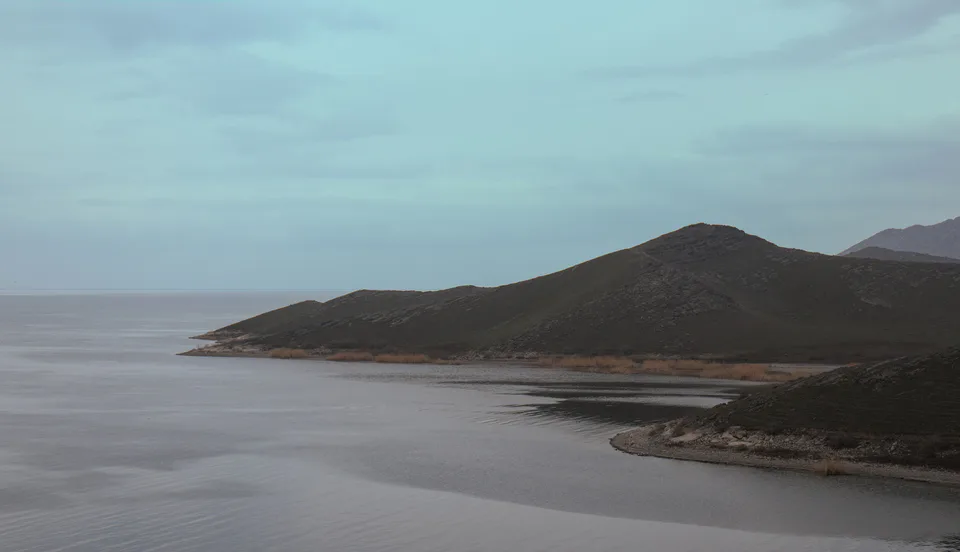
district · Land of the Nuratau mountains and desert lakes
district · The 'grain island' and Tamerlane's Gate
district · The northern edge of the Hungry Steppe
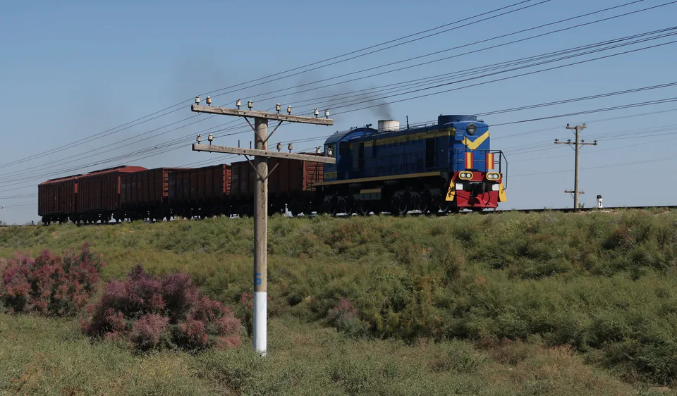
district · The cotton growers' district of the Hungry Steppe
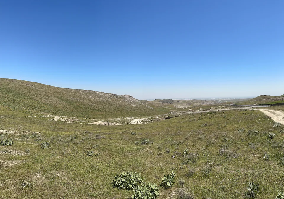
district · The largest district, around the regional capital
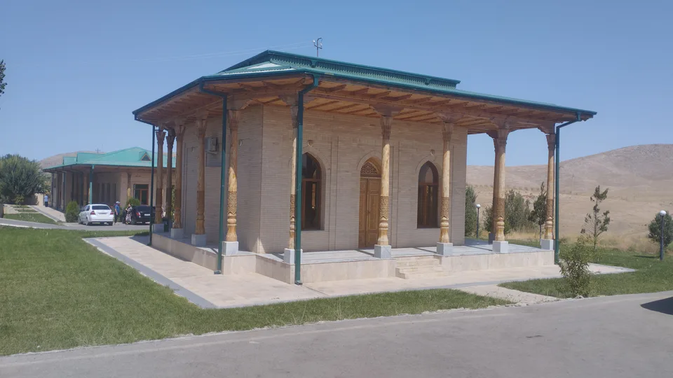
district · The youngest district, on the Tajik border
district · The western edge of the Hungry Steppe
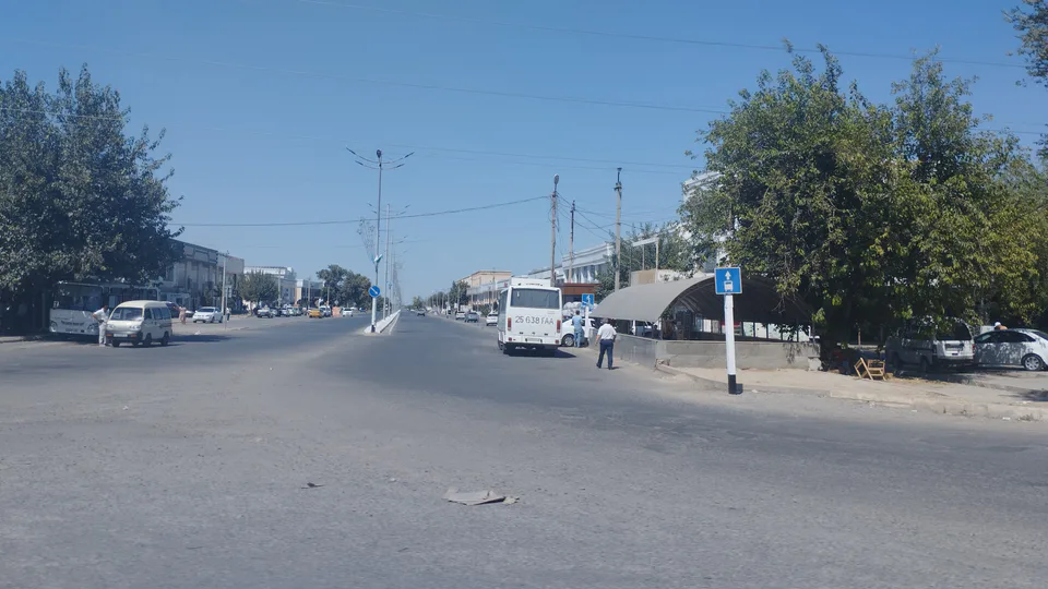
district · Fields on the southern edge of the Hungry Steppe
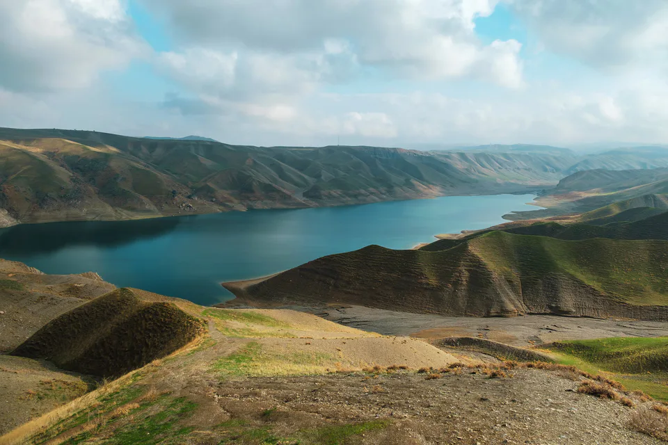
district · Turkestan Range junipers and a mountain resort