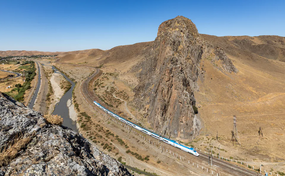
Nature · Gallaorol District
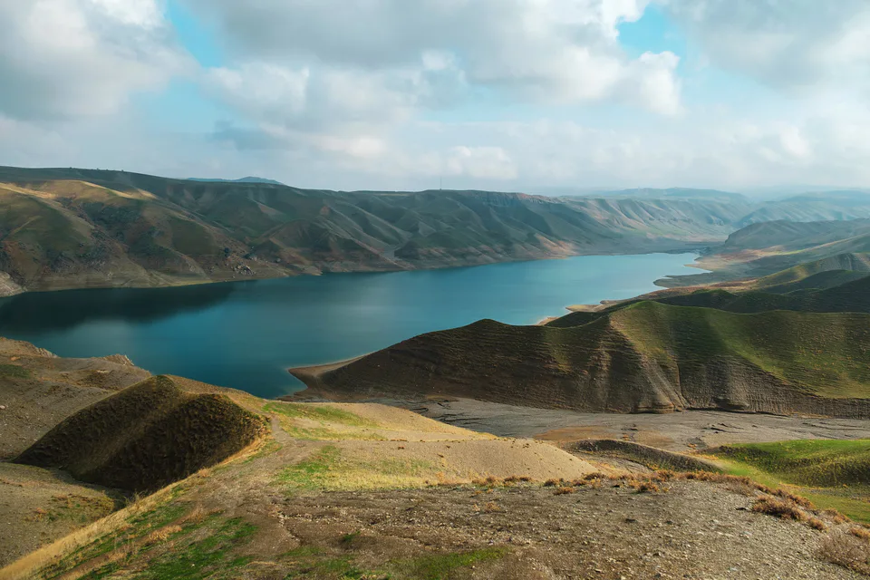
Tamerlane's Gate (Jizzakh Pass)
Five centuries of history carved in stone
district · Jizzakh Region
A western district ringed by the Nuratau and Malguzar mountains, a land of rain-fed wheat, with the Tamerlane's Gate gorge on its eastern border.
Gallaorol District was formed on 29 September 1926 and was called Yangiqorgon District until 1931. Its centre is the town of Gallaorol, and it includes six small towns, among them Marjonbuloq and Qoytosh, and more than a hundred villages. It borders the Forish, Sharof Rashidov and Bakhmal districts and Samarkand Region.
Spurs of the Nuratau frame it to the north and the Malguzar mountains to the east, while the centre and west are flat. The name means 'grain island', and rain-fed wheat has long been grown here, alongside orchards, vineyards and livestock, including karakul sheep.
On the eastern border, in the Sanzar gorge known as Tamerlane's Gate, inscriptions of Ulugh Beg (1425) and Abdullah Khan (1571) are carved into the cliffs. Near Qoytosh in the north, sand dunes are protected as a natural monument.
Gallaorol District
Gallaorol District
Airport, railway station and bus stations — addresses, timetables and the live board.
All transportJizzakh Nearest point: Jizzakh, 39 km
9°clear sky
Weather: MET Norway
Gallaorol District
Khokimiyat, public service centre and other offices: addresses, phones, hours.
All offices (4)Khokimiyat
49 Mustaqillik St, Gallaorol
Read morePublic Service Centre
Mustaqillik St, G. Gulom mahalla, Gallaorol
Read moreGallaorol District
Codes of the post offices in this city or district.
All postcodes (10)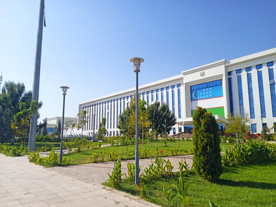
city · The 'little fortress' on the Silk Road
district · A district on the desert lakes
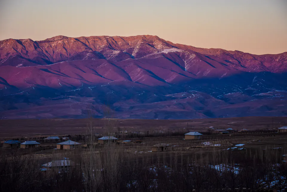
district · Mountain orchards and lost cities
district · The reclaimed fields of the Hungry Steppe
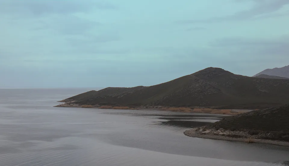
district · Land of the Nuratau mountains and desert lakes
district · The northern edge of the Hungry Steppe
district · The cotton growers' district of the Hungry Steppe
district · The largest district, around the regional capital
district · The youngest district, on the Tajik border
district · The western edge of the Hungry Steppe
district · Fields on the southern edge of the Hungry Steppe
district · Turkestan Range junipers and a mountain resort