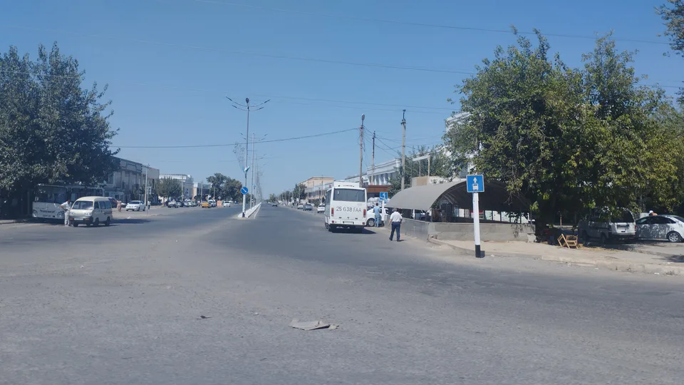
district · Jizzakh Region
Zarbdor District
A flat district in the east of the region, created in 1979, briefly merged into Zomin and restored in 1990; cotton, grain and old shrines.
Photo: Mirzoulugʻbek · CC0 · Wikimedia Commons
Overview
Zarbdor District was created on 12 December 1979, merged into Zomin District in 1988 and restored in 1990. Its centre is the small town of Zarbdor. It lies in the east of the region on the southern edge of the Hungry Steppe and has five small towns and 23 mahallas, with more than half the population living in the towns.
The land is flat with grey and brown soils. January averages −4 to −6°C and July 28–30°C, with 300–350 mm of rain a year. Because the groundwater is shallow and saline, the irrigated fields are drained by ditches. Cotton and grain dominate farming.
The Oqar Ota and Toshkesgan Ota shrines were added to the national heritage register in 2019.
Zarbdor District
Getting there
Airport, railway station and bus stations — addresses, timetables and the live board.
All transportJizzakh Nearest point: Jizzakh, 27 km
9°clear sky
- 9° / 9°
- 1.2 m/s
- 73%
- Today9°9°
- Mon16°6°
- Tue20°7°
- Wed17°12°
- Thu17°10°
Weather: MET Norway
Zarbdor District
Government offices
Khokimiyat, public service centre and other offices: addresses, phones, hours.
All offices (4)Khokimiyat
Zarbdor District Khokimiyat
1 Mustaqillik Ave, Tinchlik mahalla, Zarbdor District
Read morePublic Service Centre
Zarbdor District Public Services Centre
Mustaqillik St, Oybek mahalla, Zarbdor District
Read more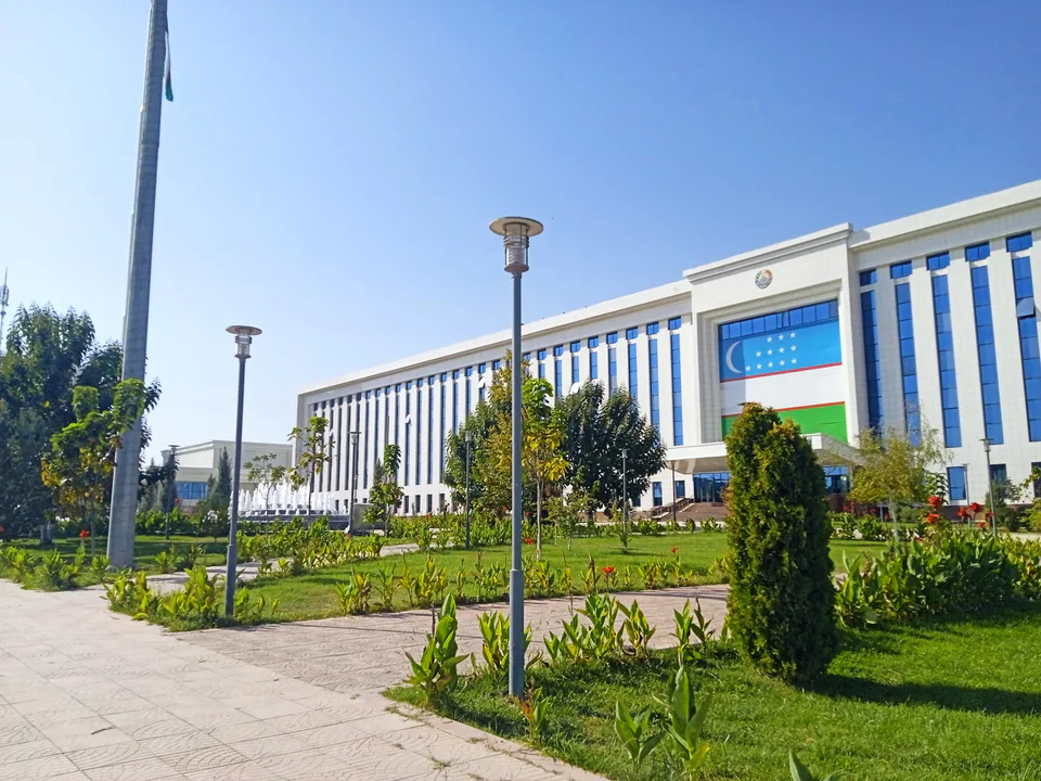
Jizzakh
city · The 'little fortress' on the Silk Road
Arnasoy District
district · A district on the desert lakes
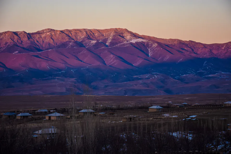
Bakhmal District
district · Mountain orchards and lost cities
Dustlik District
district · The reclaimed fields of the Hungry Steppe
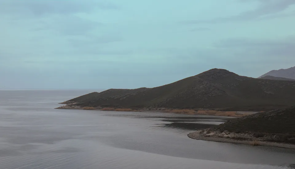
Forish District
district · Land of the Nuratau mountains and desert lakes
Gallaorol District
district · The 'grain island' and Tamerlane's Gate
Mirzachul District
district · The northern edge of the Hungry Steppe
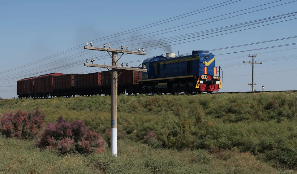
Pakhtakor District
district · The cotton growers' district of the Hungry Steppe
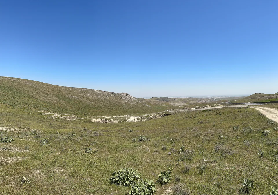
Sharof Rashidov District
district · The largest district, around the regional capital
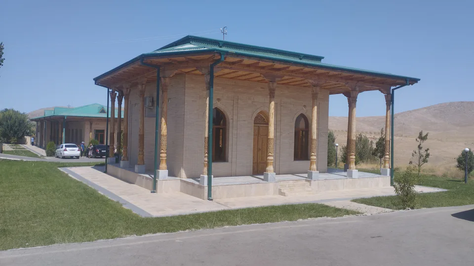
Yangiobod District
district · The youngest district, on the Tajik border
Zafarobod District
district · The western edge of the Hungry Steppe
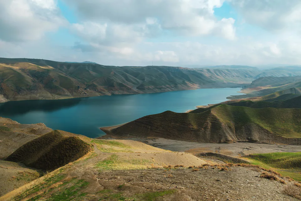
Zomin District
district · Turkestan Range junipers and a mountain resort