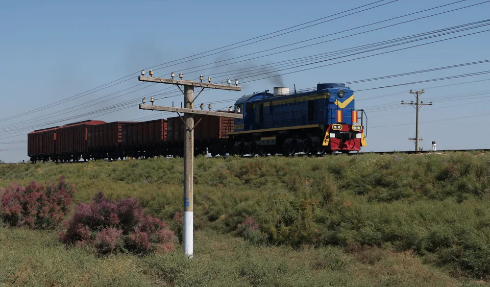
district · Jizzakh Region
Pakhtakor District
The region's smallest district by area, in the east: created in 1967 on newly reclaimed land of the Hungry Steppe, with cotton and grain fields.
Photo: Tnemtsoni · CC BY-SA 3.0 · Wikimedia Commons
Overview
Pakhtakor District was created on 9 January 1967 on newly irrigated land in the south-west of the Hungry Steppe, as part of Syrdarya Region, and passed to Jizzakh Region when that was formed. Its centre is the town of Pakhtakor. It borders the Zafarobod, Arnasoy, Dustlik, Zarbdor and Sharof Rashidov districts and Syrdarya Region.
The name itself, 'cotton grower', tells the district's story: it was born when the Hungry Steppe was turned into cotton fields. Today it also grows grain, vegetables, melons and fruit and raises livestock.
It is the smallest district in the region by area but densely settled, with more than 220 people per square kilometre. There are 15 mahallas, and almost half the population is urban.
Pakhtakor District
Getting there
Airport, railway station and bus stations — addresses, timetables and the live board.
All transportJizzakh Nearest point: Jizzakh, 31 km
9°clear sky
- 9° / 9°
- 1.2 m/s
- 73%
- Today9°9°
- Mon16°6°
- Tue20°7°
- Wed17°12°
- Thu17°10°
Weather: MET Norway
Pakhtakor District
Government offices
Khokimiyat, public service centre and other offices: addresses, phones, hours.
All offices (4)Khokimiyat
Paxtakor District Khokimiyat
1 Sh. Rashidov St, Tashkent mahalla, Paxtakor
Mon–Fri 9:00–18:00, lunch 13:00–14:00
Read morePublic Service Centre
Paxtakor District Public Services Centre
Sharof Rashidov St, Dostlik mahalla, Paxtakor District
Read morePakhtakor District
Postal codes
Codes of the post offices in this city or district.
All postcodes (3)
Jizzakh
city · The 'little fortress' on the Silk Road
Arnasoy District
district · A district on the desert lakes
Bakhmal District
district · Mountain orchards and lost cities
Dustlik District
district · The reclaimed fields of the Hungry Steppe
Forish District
district · Land of the Nuratau mountains and desert lakes
Gallaorol District
district · The 'grain island' and Tamerlane's Gate
Mirzachul District
district · The northern edge of the Hungry Steppe
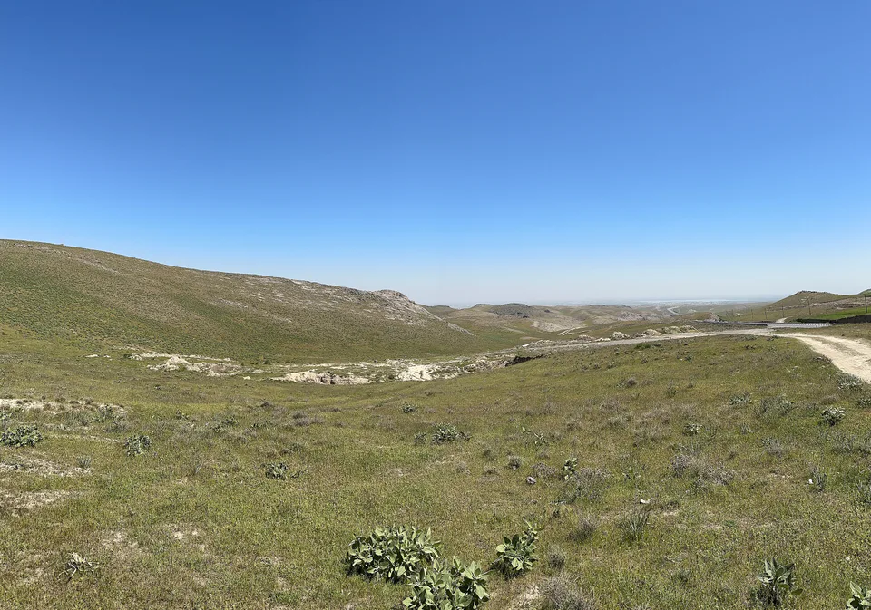
Sharof Rashidov District
district · The largest district, around the regional capital
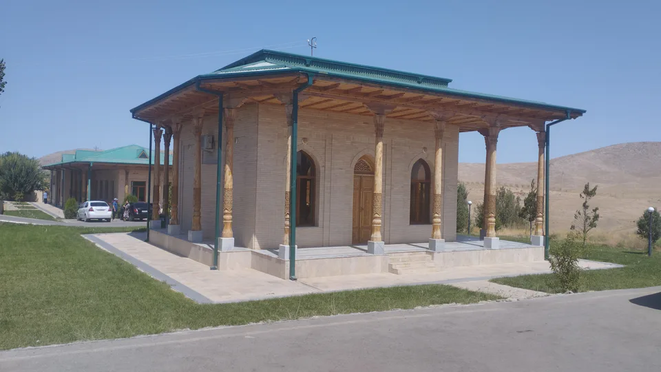
Yangiobod District
district · The youngest district, on the Tajik border
Zafarobod District
district · The western edge of the Hungry Steppe
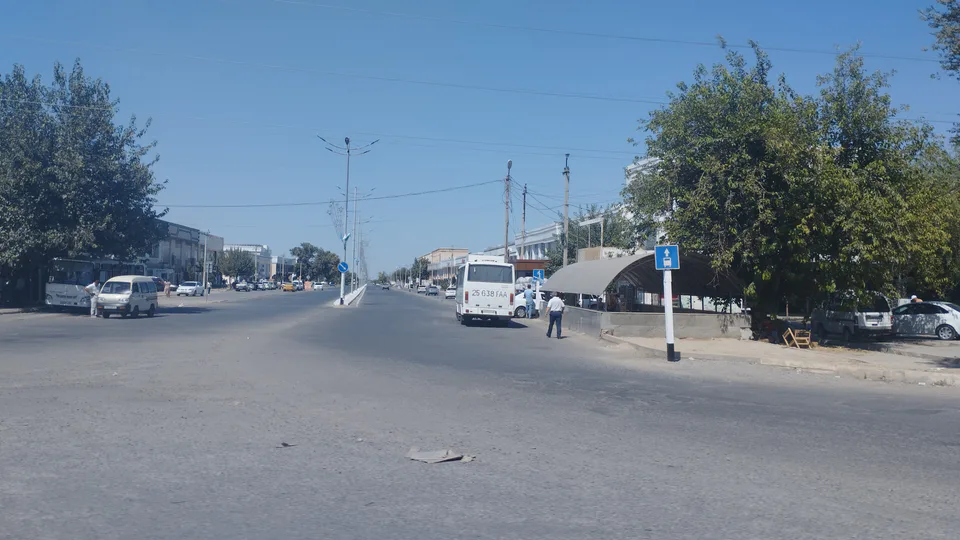
Zarbdor District
district · Fields on the southern edge of the Hungry Steppe
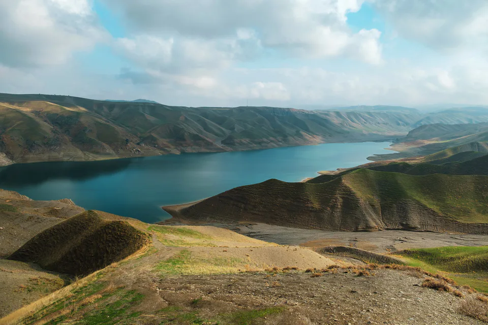
Zomin District
district · Turkestan Range junipers and a mountain resort