district · Jizzakh Region
Dustlik District
A flat district in the north-east of the region, on land of the Mirzachul, the historic Hungry Steppe, reclaimed in Soviet times for cotton and grain.
Overview
Dustlik District was created on 16 October 1970 as part of Syrdarya Region and later transferred to Jizzakh Region. Its centre is the town of Dustlik, 52 km from the regional capital. It borders the Arnasoy, Mirzachul and Pakhtakor districts and Syrdarya Region's Oqoltin District, and has one town and 12 mahallas.
It lies in the Mirzachul, the Hungry Steppe, which remained waterless until the mid-20th century. The land is flat with fertile grey soils, watered by the left branches of the South Hungry Steppe Canal. The climate is sharply continental, with very hot summers and fairly mild winters, and a growing season of 250–260 days.
Cotton, grain and orchards are the mainstays, and a canal-side leisure area has recently been laid out near the Mevazor mahalla.
Dustlik District
Getting there
Airport, railway station and bus stations — addresses, timetables and the live board.
All transportJizzakh Nearest point: Jizzakh, 49 km
9°clear sky
- 9° / 9°
- 1.2 m/s
- 73%
- Today9°9°
- Mon16°6°
- Tue20°7°
- Wed17°12°
- Thu17°10°
Weather: MET Norway
Dustlik District
Government offices
Khokimiyat, public service centre and other offices: addresses, phones, hours.
All offices (4)Khokimiyat
Dostlik District Khokimiyat
17 Dostlik St, G. Gulom mahalla, Dostlik
Read morePublic Service Centre
Dostlik District Public Services Centre
Dostlik–Arnasoy Road, G. Gulom mahalla, Dostlik District
Read more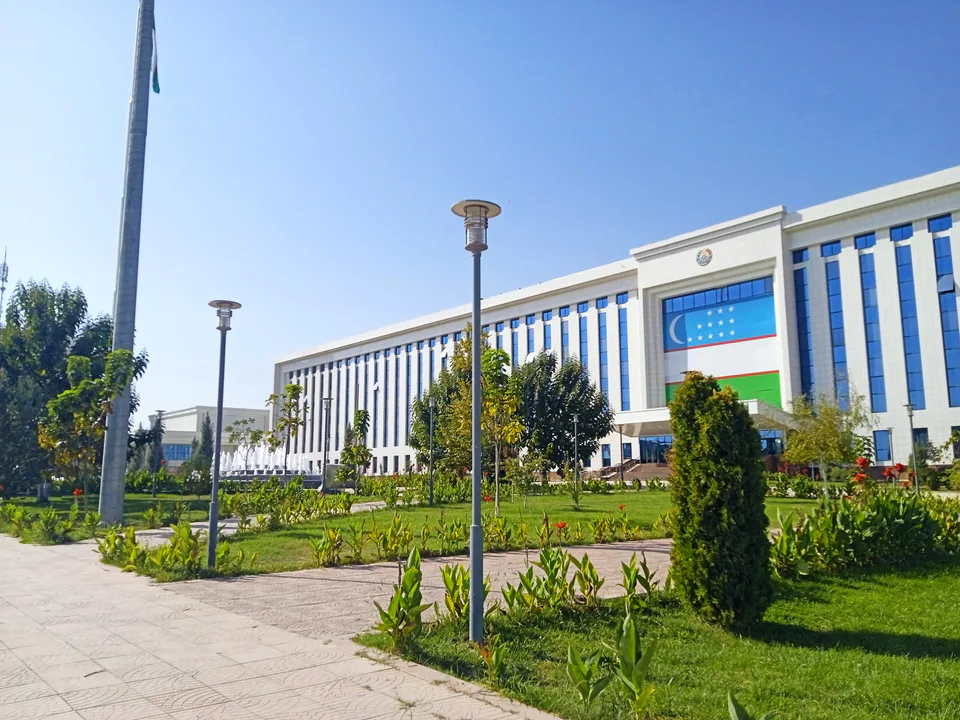
Jizzakh
city · The 'little fortress' on the Silk Road
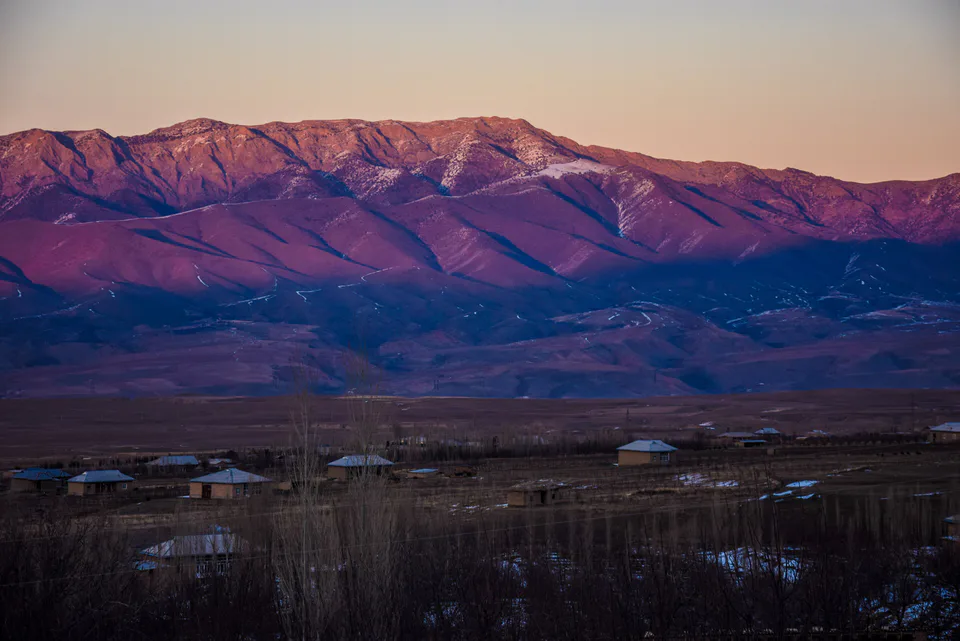
Arnasoy District
district · A district on the desert lakes
Bakhmal District
district · Mountain orchards and lost cities
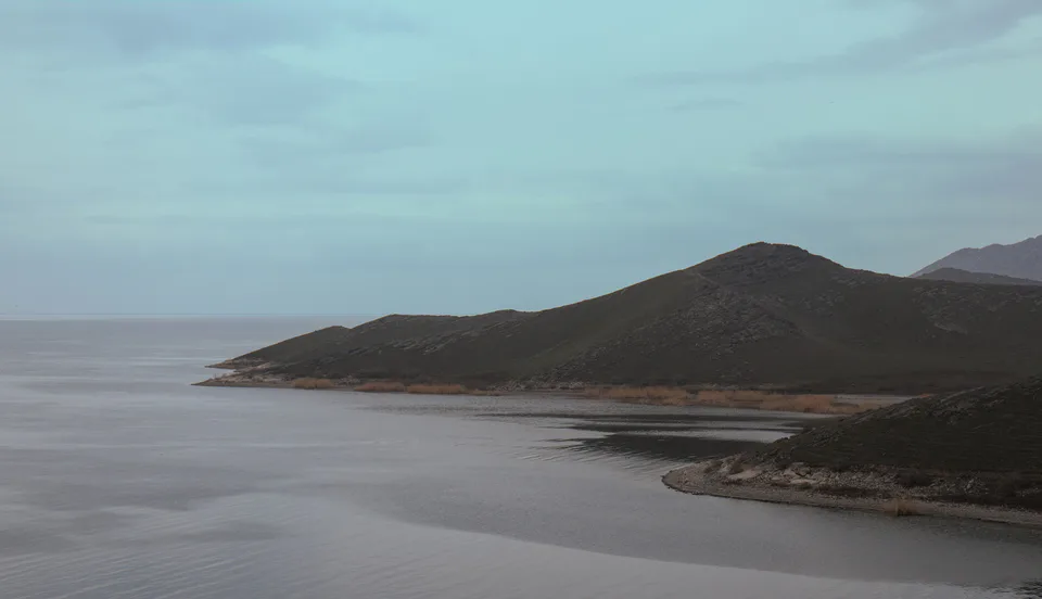
Forish District
district · Land of the Nuratau mountains and desert lakes
Gallaorol District
district · The 'grain island' and Tamerlane's Gate
Mirzachul District
district · The northern edge of the Hungry Steppe
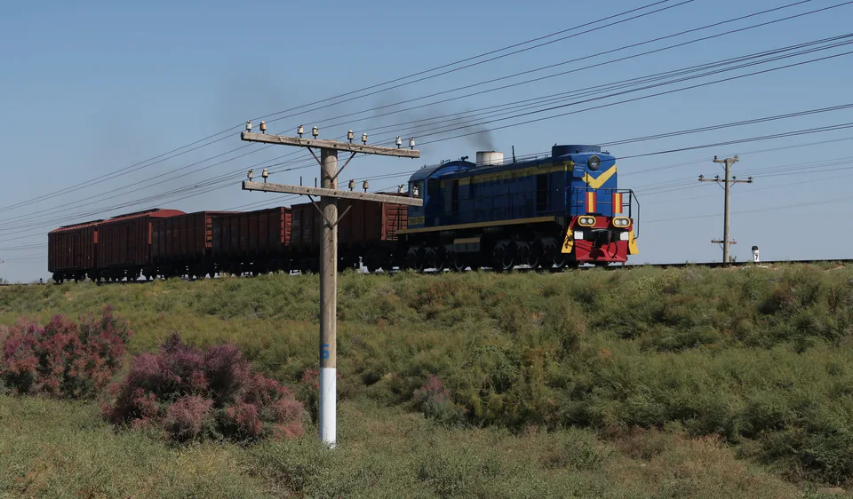
Pakhtakor District
district · The cotton growers' district of the Hungry Steppe
Sharof Rashidov District
district · The largest district, around the regional capital
Yangiobod District
district · The youngest district, on the Tajik border
Zafarobod District
district · The western edge of the Hungry Steppe
Zarbdor District
district · Fields on the southern edge of the Hungry Steppe
Zomin District
district · Turkestan Range junipers and a mountain resort