district · Jizzakh Region
Sharof Rashidov District
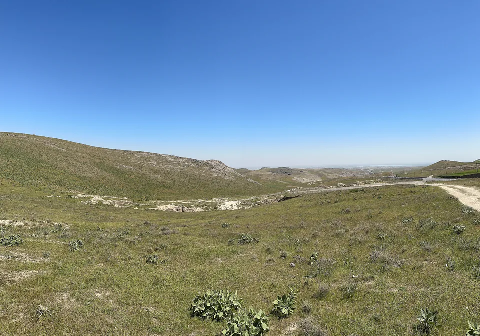
The district surrounding Jizzakh and the most populous in the region (Jizzakh District until 2016): the Sanzar valley, the Malguzar foothills, orchards and fields.
Photo: Артем Карпов 8б · CC BY-SA 4.0 · Wikimedia Commons
Overview
The district was created on 29 September 1926 as Jizzakh District and in December 2016 renamed after Sharof Rashidov, the Jizzakh-born statesman and writer. Its centre is Uchtepa. It occupies the middle of the region around the regional capital and borders seven other districts.
It is the most populous district in the region, with 255,000 people at the start of 2026 living in 48 mahallas. The land rises from lowlands and ridges to mountains: the Qoytosh range in the west and the Malguzar in the south. The Sanzar river flows through it, and the Jizzakh reservoir, linked to the river by a canal, lies 9 km from the city.
Cotton, grain, orchards and vegetables are the mainstays, and the Tamerlane's Gate gorge lies on the border with Gallaorol District.
Sharof Rashidov District
Getting there
Airport, railway station and bus stations — addresses, timetables and the live board.
All transportJizzakh Nearest point: Jizzakh, 6 km
9°clear sky
- 9° / 9°
- 1.2 m/s
- 73%
- Today9°9°
- Mon16°6°
- Tue20°7°
- Wed17°12°
- Thu17°10°
Weather: MET Norway
Sharof Rashidov District
Government offices
Khokimiyat, public service centre and other offices: addresses, phones, hours.
All offices (4)Khokimiyat
Sharof Rashidov District Khokimiyat
1 Mustaqillik St, Uchtepa, Sharof Rashidov District
Read morePublic Service Centre
Sharof Rashidov District Public Services Centre
Mustaqillik St, Yangiobod mahalla, Sharof Rashidov District
Read moreSharof Rashidov District
Postal codes
Codes of the post offices in this city or district.
All postcodes (10)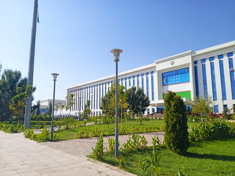
Jizzakh
city · The 'little fortress' on the Silk Road
Arnasoy District
district · A district on the desert lakes
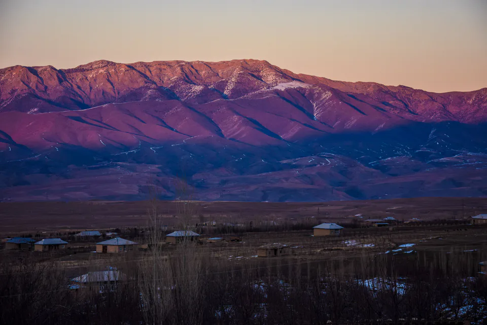
Bakhmal District
district · Mountain orchards and lost cities
Dustlik District
district · The reclaimed fields of the Hungry Steppe
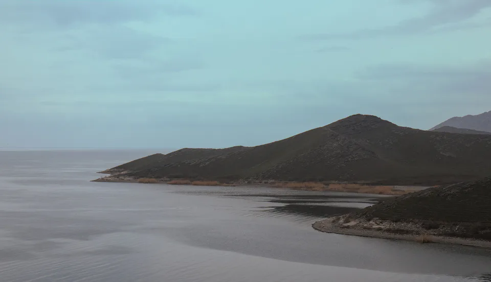
Forish District
district · Land of the Nuratau mountains and desert lakes
Gallaorol District
district · The 'grain island' and Tamerlane's Gate
Mirzachul District
district · The northern edge of the Hungry Steppe
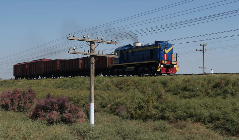
Pakhtakor District
district · The cotton growers' district of the Hungry Steppe
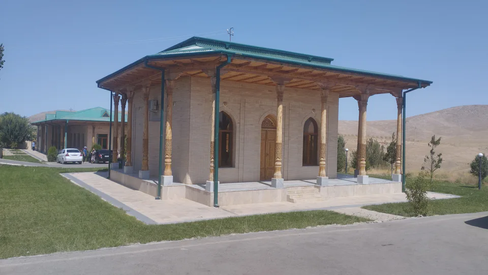
Yangiobod District
district · The youngest district, on the Tajik border
Zafarobod District
district · The western edge of the Hungry Steppe
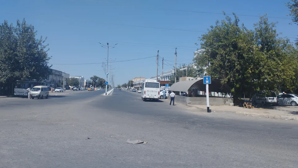
Zarbdor District
district · Fields on the southern edge of the Hungry Steppe
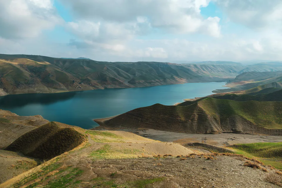
Zomin District
district · Turkestan Range junipers and a mountain resort