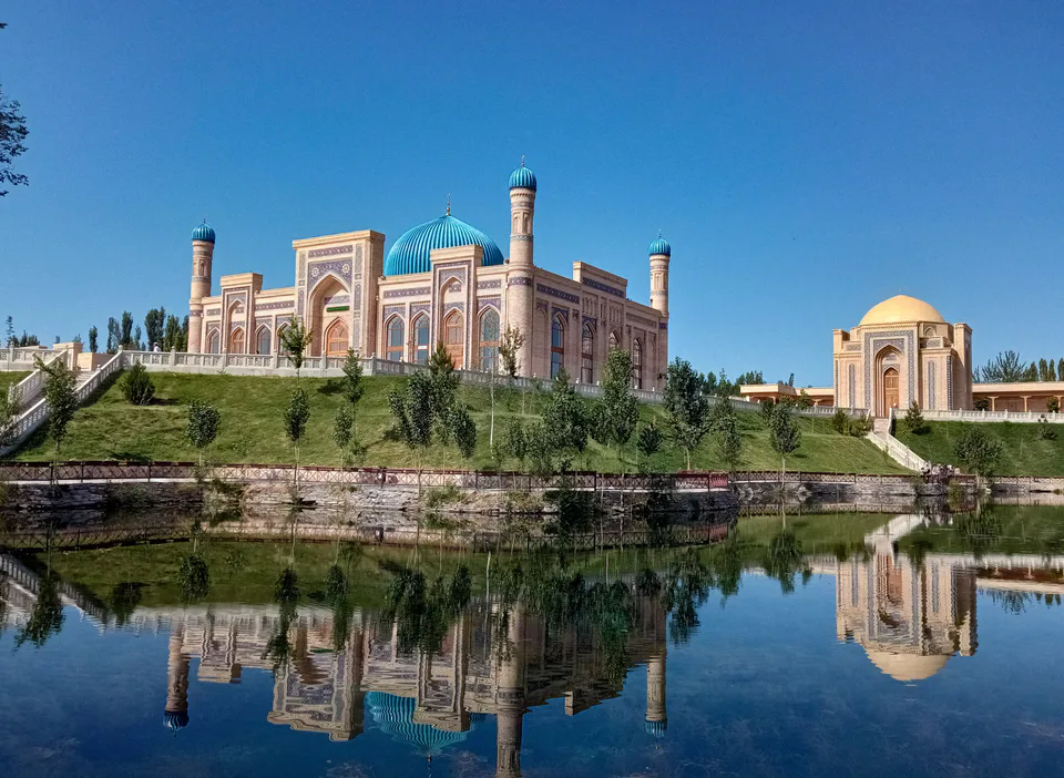
district · Namangan Region
Chortoq District
A district below the Chatkal Range, famous for its mineral waters and the Chortoq sanatorium; its centre, Chortoq, takes its name from 'four hills'.
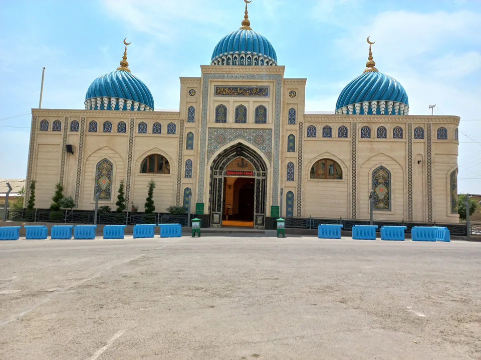
Photo: Ayqironlik · CC BY-SA 4.0 · Wikimedia Commons
Location and history
Chortoq District was formed on 15 April 1950, abolished in 1959 and re-created in 1980. It borders Yangiqurgan District to the west, Uychi to the south and south-east, and Kyrgyzstan to the north and east. It lies on the southern slopes of the Chatkal Range at 300–1,500 metres, crossed by streams such as the Chortoqsoy and the Namangansoy (Pochchaotasoy in its upper reaches).
Its centre is the town of Chortoq, whose name combines Persian chor, 'four', and Turkic toq, 'hill': the town once had four man-made mounds used for defence and signalling, three of which survive.
What it is known for
Chortoq is known throughout Uzbekistan for its healing mineral waters, with the Chortoq and Pakhtalikul sanatoria and mineral-water bottling plants. The Fergana Valley ring railway passes through the town, and the Namangan–Chortoq–Nanay road is a route of national importance. Farming here is based on orchards and cotton.
Chortoq District
Getting there
Airport, railway station and bus stations — addresses, timetables and the live board.
All transportNamangan Nearest point: Namangan, 31 km
11°clear sky
- 11° / 10°
- 1.7 m/s
- 71%
- Today11°10°
- Mon19°6°
- Tue19°6°
- Wed16°9°
- Thu15°10°
Weather: MET Norway
Chortoq District
Government offices
Khokimiyat, public service centre and other offices: addresses, phones, hours.
All offices (3)Khokimiyat
Chortoq District Khokimiyat
24 Istiqlol St, Chortoq
Mon–Fri 9:00–18:00
Read morePublic Service Centre
Chortoq District Public Services Centre
24 Istiqlol Alley, A. Navoiy mahalla, Chortoq District
Read moreChortoq District
Postal codes
Codes of the post offices in this city or district.
All postcodes (12)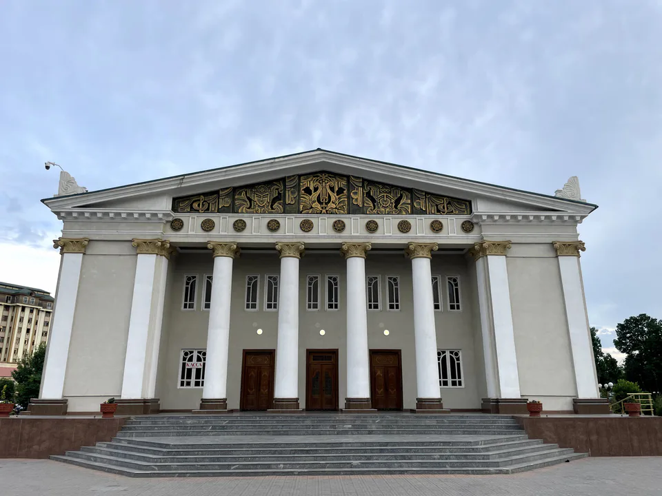
Namangan
city · The valley's capital of flowers
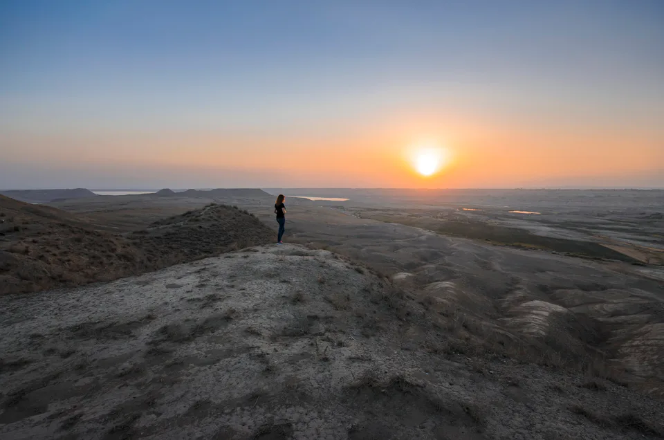
Chust District
district · Home of knife-makers and skullcap embroiderers
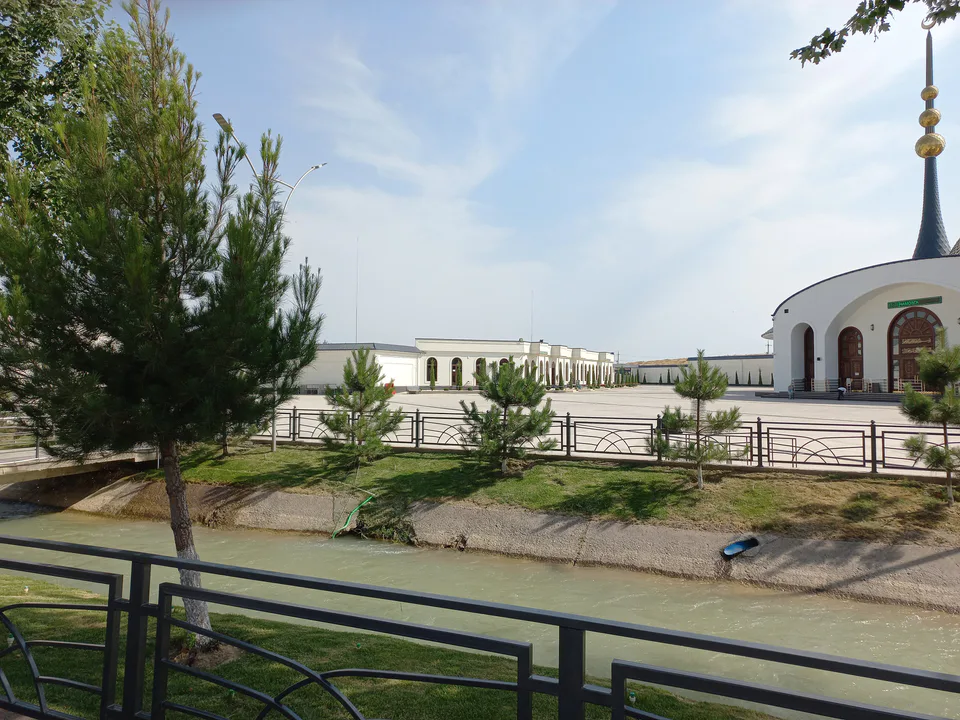
Davlatobod District
district · Namangan's western city district
Kosonsoy District
district · Land of ancient Kasan and Makhdumi Azam
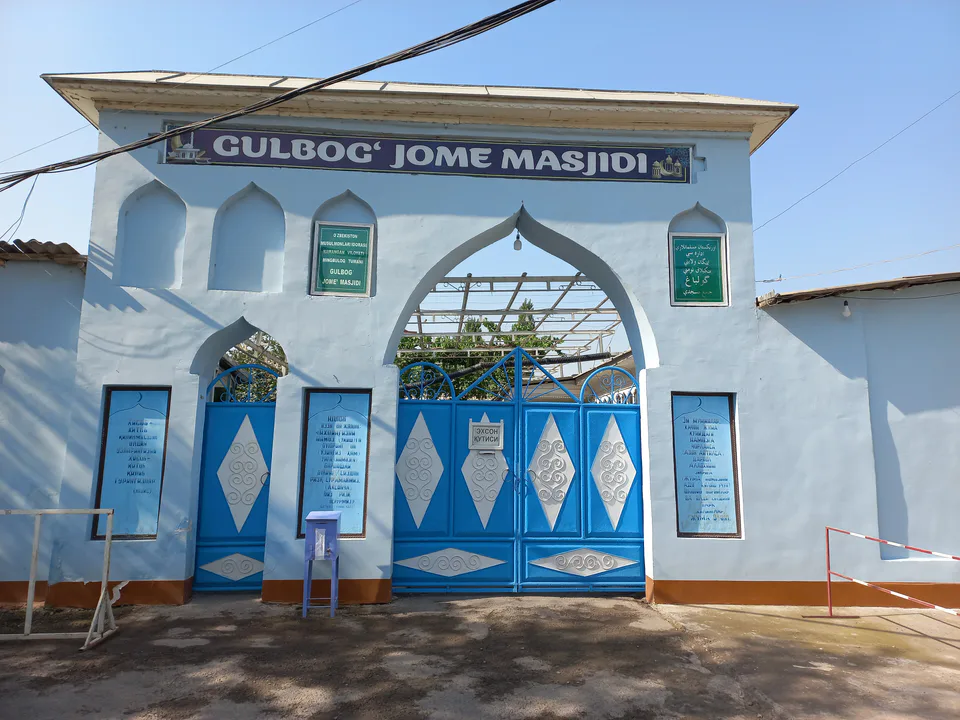
Mingbuloq District
district · Sands and lakes on the Syr Darya's left bank
Namangan District
district · An irrigated oasis between two rivers
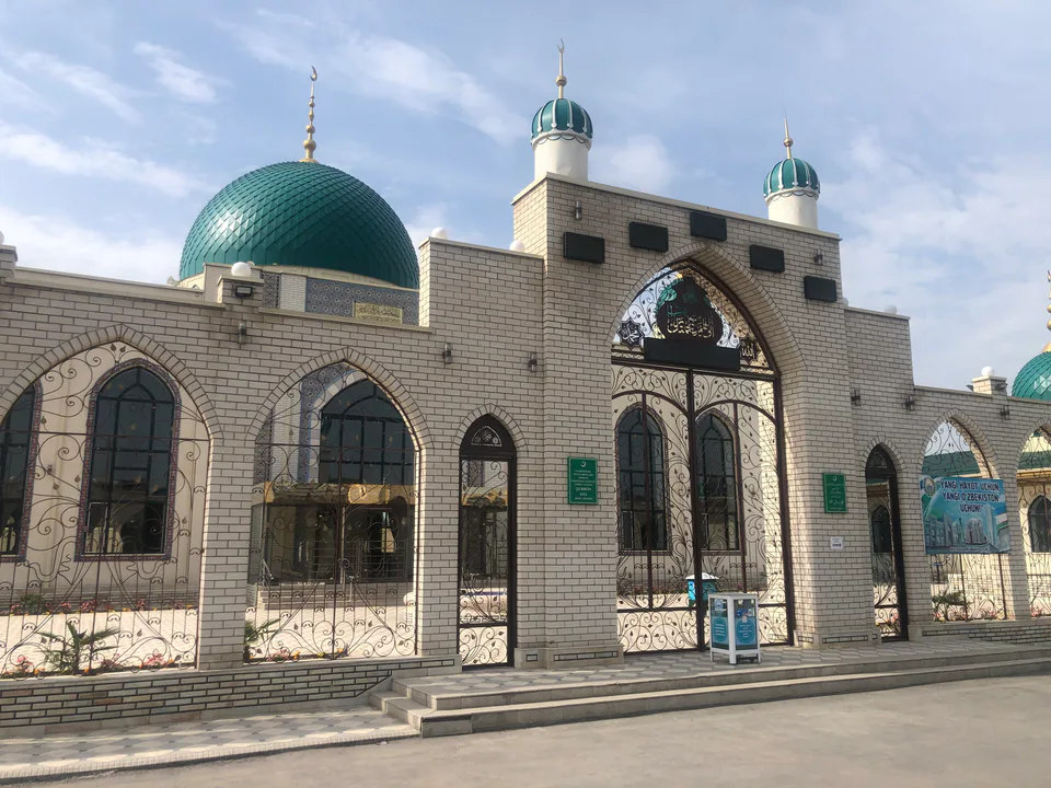
Norin District
district · A district on the banks of the Naryn
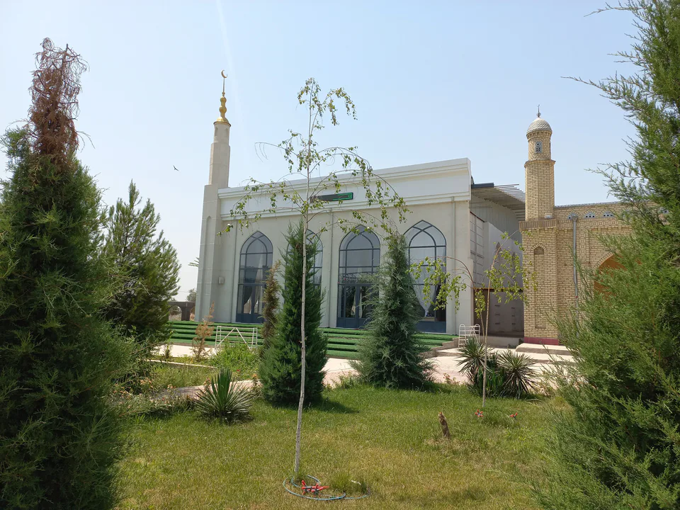
Pop District
district · Ancient Bab and the Chatkal mountains
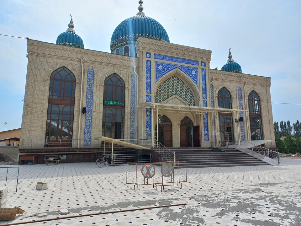
Turakurgan District
district · The land of Akhsikath and Ibrat
Uchqurgan District
district · 'Three fortresses' on the Naryn
Uychi District
district · Home of the Devona Buva shrine
Yangi Namangan District
district · The youngest city district
Yangiqurgan District
district · Mountains and foothills below the Chatkal