district · Namangan Region
Yangiqurgan District
A mountainous district in the north of the region: the southern slopes of the Chatkal Range, the mountain village of Nanay, streams and the Eskiyer Reservoir.
Location and landscape
Yangiqurgan District was formed on 29 September 1926. It borders Kosonsoy District to the west, Namangan and Uychi districts to the south, and Kyrgyzstan and Chortoq District to the north-west, north and east. It covers 540 km², and its centre is the town of Yangiqurgan.
The district climbs the southern slopes of the Chatkal Range, from 300 metres in the south to 1,500 metres in the middle and 1,500–2,000 metres in the north. Streams such as the Chortoqsoy and the Namangansoy (Pochchaotasoy in its upper reaches) come down from the mountains, some drying up in summer. Rainfall is 300–400 mm a year; winters are cold and summers hot and dry.
What it is known for
The mountain village of Nanay in the north is reached by the Namangan–Chortoq–Nanay road, a route of national importance. The Eskiyer Reservoir lies within the district, which also has oil and building-material deposits. In spring the foothills turn into green hills, a handy escape for people from Namangan.
Yangiqurgan District
Getting there
Airport, railway station and bus stations — addresses, timetables and the live board.
All transportNamangan Nearest point: Namangan, 33 km
11°clear sky
- 11° / 10°
- 1.7 m/s
- 71%
- Today11°10°
- Mon19°6°
- Tue19°6°
- Wed16°9°
- Thu15°10°
Weather: MET Norway
Yangiqurgan District
Government offices
Khokimiyat, public service centre and other offices: addresses, phones, hours.
All offices (3)Khokimiyat
Yangiqorgon District Khokimiyat
1 Mustaqillik St, Yangiqorgon
Mon–Fri 9:00–18:00
Read morePublic Service Centre
Yangiqorgon District Public Services Centre
2 Mustaqillik St, Yangiqorgon District
Read moreYangiqurgan District
Postal codes
Codes of the post offices in this city or district.
All postcodes (12)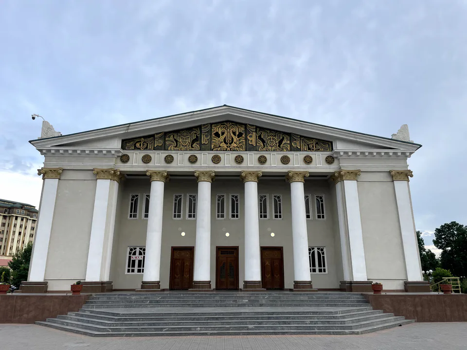
Namangan
city · The valley's capital of flowers
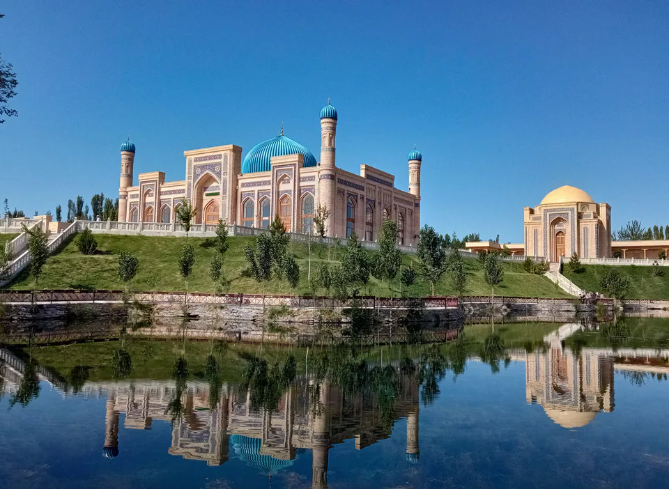
Chortoq District
district · Healing springs and 'four hills'
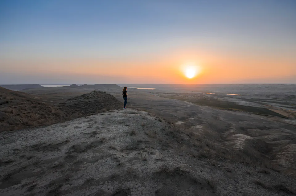
Chust District
district · Home of knife-makers and skullcap embroiderers
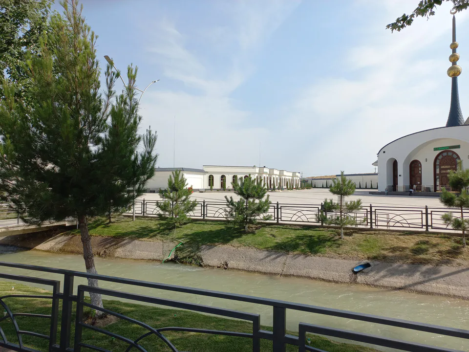
Davlatobod District
district · Namangan's western city district
Kosonsoy District
district · Land of ancient Kasan and Makhdumi Azam
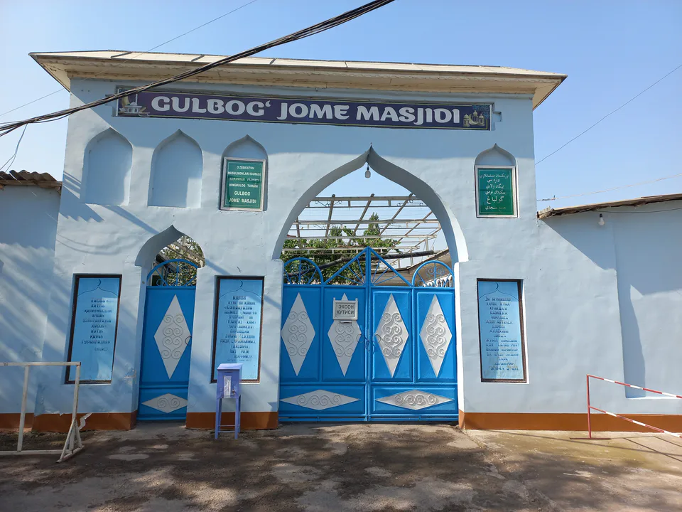
Mingbuloq District
district · Sands and lakes on the Syr Darya's left bank
Namangan District
district · An irrigated oasis between two rivers
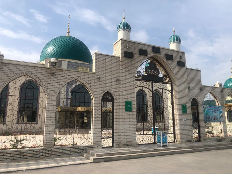
Norin District
district · A district on the banks of the Naryn
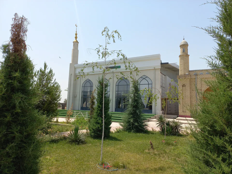
Pop District
district · Ancient Bab and the Chatkal mountains
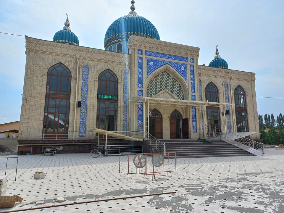
Turakurgan District
district · The land of Akhsikath and Ibrat
Uchqurgan District
district · 'Three fortresses' on the Naryn
Uychi District
district · Home of the Devona Buva shrine
Yangi Namangan District
district · The youngest city district