Culture & arts · Chust District
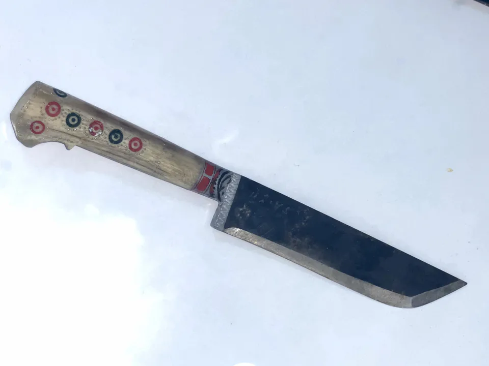
Chust Knife Workshops
Blades stamped with the maker's mark
district · Namangan Region
The region's most populous district: an ancient town that gave its name to the Bronze Age Chust culture, and home of the famous Chust knives and skullcaps.
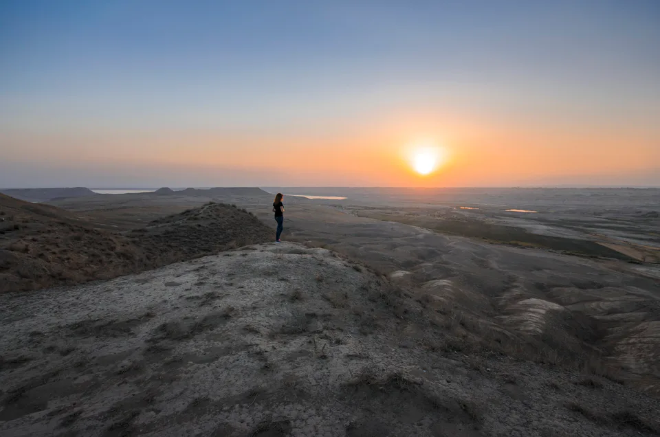
Chust District was formed on 29 September 1926. It borders Turakurgan District to the east, Kosonsoy to the north-east, Pop to the south and west, Mingbuloq to the south-east and Kyrgyzstan to the north. It covers 920 km² and has the largest population of any district in the region. It lies on foothills and plains below the Chatkal mountains, crossed by the Govasoy, Olmossoy and Rezaksoy streams; the Chust Canal, built in 1947, carries water from the Kosonsoy Reservoir 58 km to the village of Olmos.
Chust is one of the oldest towns in the valley: a settlement studied here in the 1950s and 1960s gave its name to the Chust culture of roughly 1500–900 BC. In the Middle Ages Chust was a fortress, and Babur's father, Umar Shaikh Mirza, made it his residence in 1480.
Chust knives are famous across Uzbekistan and have been shown at international exhibitions; the town has long had a quarter of bladesmiths. Chust skullcaps won acclaim at exhibitions in New Delhi, Montreal, Tokyo and Poznań in 1968–1970. The district's Chust natural monument was set up in 1990 to protect beneficial insects.
Chust District
Chust District
Airport, railway station and bus stations — addresses, timetables and the live board.
All transportNamangan Nearest point: Namangan, 41 km
11°clear sky
Weather: MET Norway
Chust District
Checked hotels and places to eat — with addresses, phone numbers, opening hours and price levels.
Chust District
Khokimiyat, public service centre and other offices: addresses, phones, hours.
All offices (3)Khokimiyat
1 M. Fayozov St, Chust
Mon–Fri 9:00–18:00
Read morePublic Service Centre
1 Sofizoda St, Kamarsada mahalla, Chust District
Read more
city · The valley's capital of flowers
district · Healing springs and 'four hills'
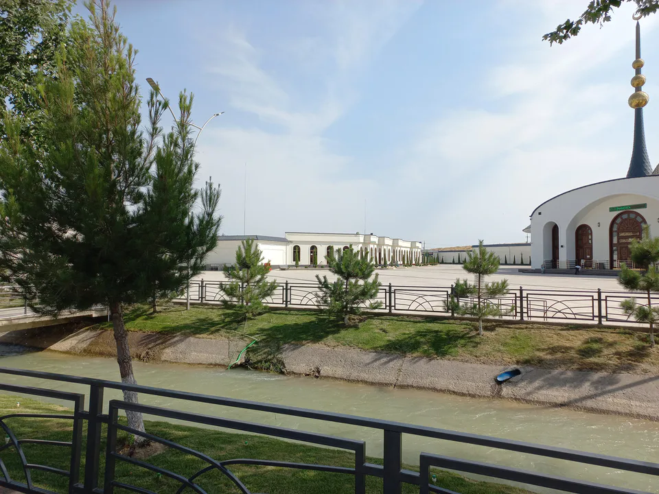
district · Namangan's western city district
district · Land of ancient Kasan and Makhdumi Azam
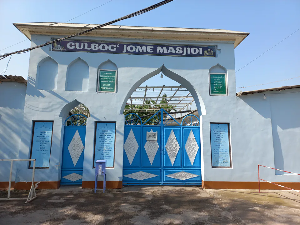
district · Sands and lakes on the Syr Darya's left bank
district · An irrigated oasis between two rivers
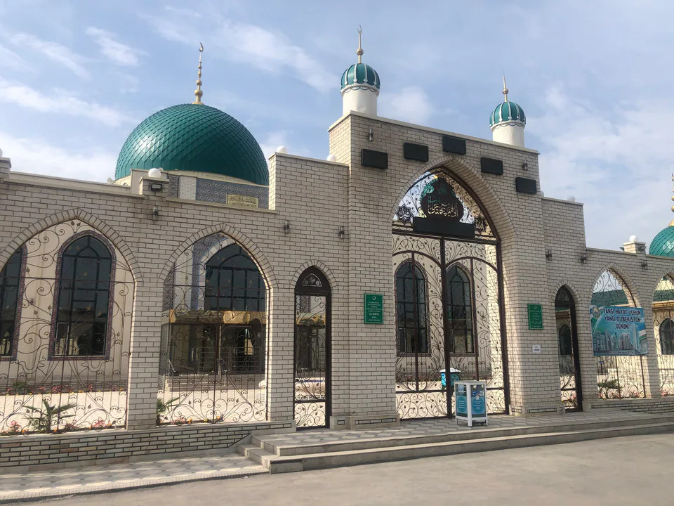
district · A district on the banks of the Naryn
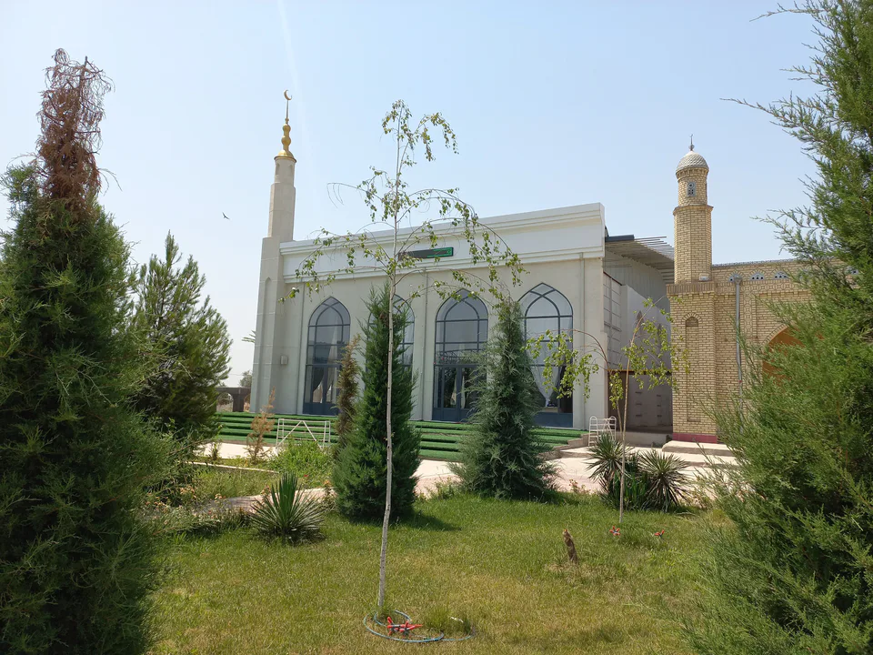
district · Ancient Bab and the Chatkal mountains
district · The land of Akhsikath and Ibrat
district · 'Three fortresses' on the Naryn
district · Home of the Devona Buva shrine
district · The youngest city district
district · Mountains and foothills below the Chatkal