district · Namangan Region
Uchqurgan District
A district in the north-east of the region on the Kyrgyz border and the banks of the Naryn; its name means 'three fortresses'.
Location and history
Uchqurgan District was formed on 28 July 1935 and was merged with Norin District in 1988–1989. It belonged to Fergana Region until 1940 and to Namangan Region from 1941, and was part of Andijan Region in 1960–1967. It borders Kyrgyzstan to the east, Norin District to the south, Uychi to the west and Andijan Region's Izboskan District to the south-east. It covers 290–300 km², and its centre is Uchqurgan, a city of regional subordination since 1974.
The name means 'three fortresses'. The district lies on a plain at around 500 metres, with the Naryn river along its north-western edge, and has a sharply continental climate.
What it is known for
Uchqurgan is where several of the valley's key irrigation systems meet, its fields watered by the Great Fergana, Great Andijan, Haqqulobod, Damariq and other canals. It has more than 60 mahallas and had 191,800 residents at the start of 2026. The district also has a strong tradition of epic storytelling: as early as the 1920s the dastan 'Yozi and Zebo' was recorded from Uchqurgan bards.
Sources (3)
Uchqurgan District
Getting there
Airport, railway station and bus stations — addresses, timetables and the live board.
All transportAndijan Nearest point: Andijan, 36 km
10°fair
- 10° / 9°
- 1.4 m/s
- 78%
- Today10°9°
- Mon19°6°
- Tue19°6°
- Wed17°10°
- Thu15°9°
Weather: MET Norway
Uchqurgan District
Government offices
Khokimiyat, public service centre and other offices: addresses, phones, hours.
All offices (3)Khokimiyat
Uchqorgon District Khokimiyat
33 Dostlik St, Uchqorgon
Read morePublic Service Centre
Uchqorgon District Public Services Centre
Dostlik St, Dostlik mahalla, Uchqorgon
Read moreUchqurgan District
Postal codes
Codes of the post offices in this city or district.
All postcodes (10)
Namangan
city · The valley's capital of flowers
Chortoq District
district · Healing springs and 'four hills'
Chust District
district · Home of knife-makers and skullcap embroiderers
Davlatobod District
district · Namangan's western city district
Kosonsoy District
district · Land of ancient Kasan and Makhdumi Azam
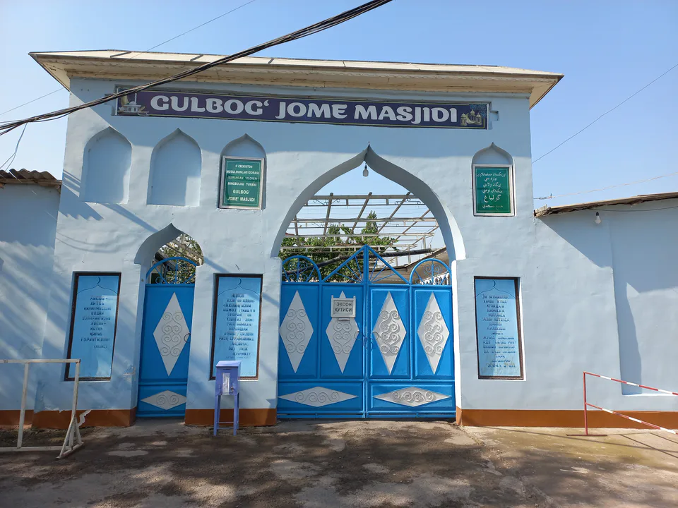
Mingbuloq District
district · Sands and lakes on the Syr Darya's left bank
Namangan District
district · An irrigated oasis between two rivers
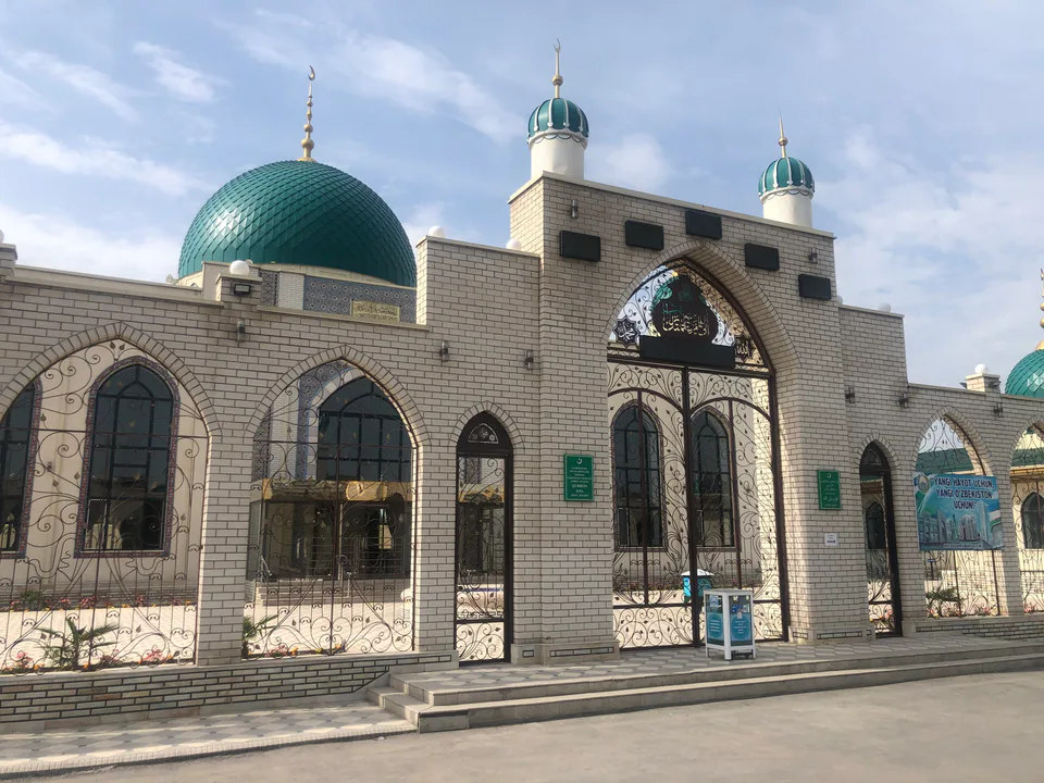
Norin District
district · A district on the banks of the Naryn
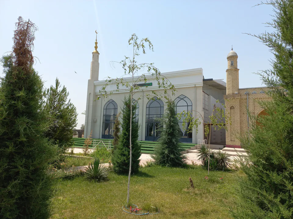
Pop District
district · Ancient Bab and the Chatkal mountains
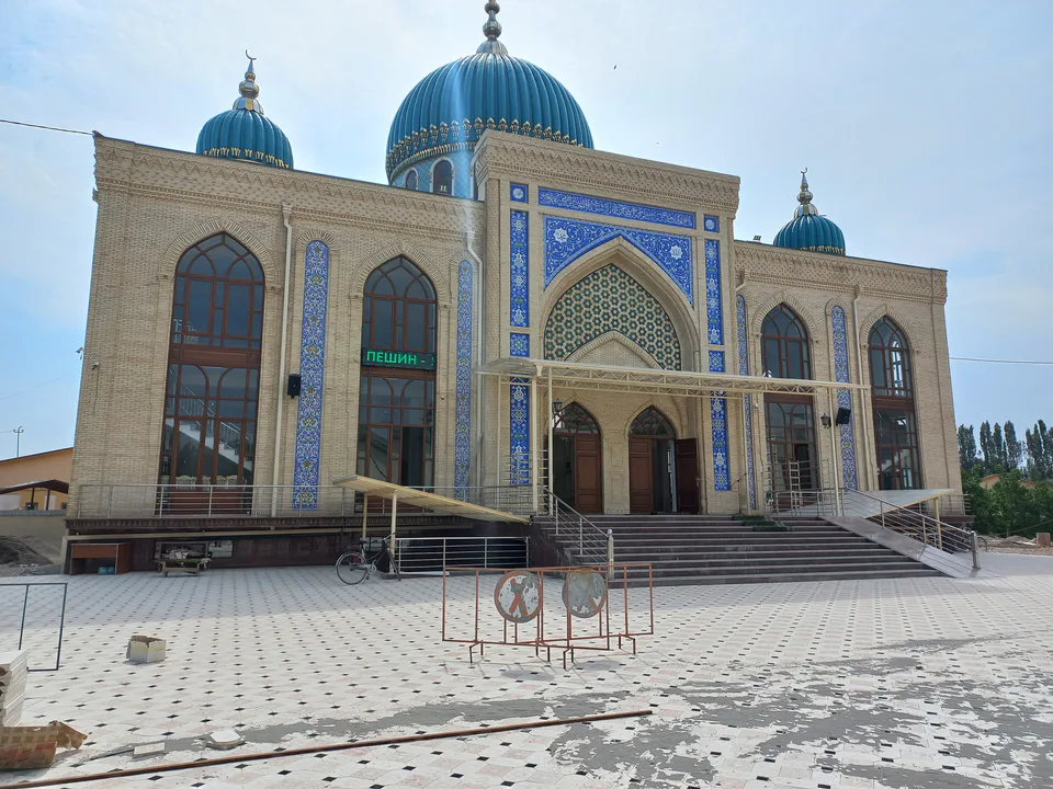
Turakurgan District
district · The land of Akhsikath and Ibrat
Uychi District
district · Home of the Devona Buva shrine
Yangi Namangan District
district · The youngest city district
Yangiqurgan District
district · Mountains and foothills below the Chatkal