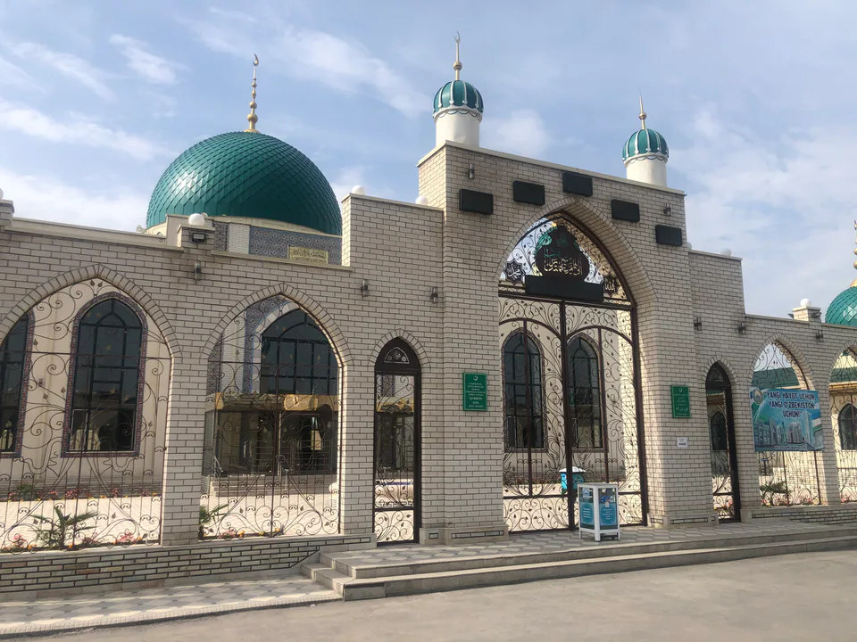
district · Namangan Region
Norin District
A flat district in the east of the region, named after the Naryn river, which joins the Kara Darya to form the Syr Darya; its centre is Haqqulobod.
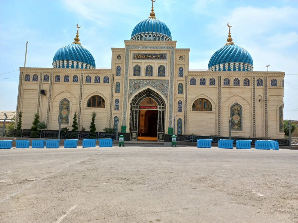
Photo: Komilkhuja · CC BY 4.0 · Wikimedia Commons
Location and history
Norin District lies in the east of the region on the banks of the Naryn, from which it takes its name. The present district was formed in 1973, and its centre, Haqqulobod, became a town in 1988. It covers about 210 km² and includes one town, Haqqulobod, eight urban-type settlements — Qorateri, Marguzar, Norinkapa, Pastki Choja, Uchtepa, Khojaobod, Chambil and Shora — and several rural communities.
The Naryn flows down from the mountains of Kyrgyzstan and, near the region's border, joins the Kara Darya to form the Syr Darya, which is why the district is well watered and fertile.
What it is known for
Norin is a densely populated farming district, home to more than 182,000 people at the start of 2026. Its flat land suits irrigated farming, orchards and silkworm rearing. Haqqulobod is the district's trading and service centre, and its bazaar matters to the surrounding villages. For travellers it offers a look at village life in the valley between Namangan and Andijan.
Norin District
Getting there
Airport, railway station and bus stations — addresses, timetables and the live board.
All transportNamangan Nearest point: Namangan, 28 km
11°clear sky
- 11° / 10°
- 1.7 m/s
- 71%
- Today11°10°
- Mon19°6°
- Tue19°6°
- Wed16°9°
- Thu15°10°
Weather: MET Norway
Norin District
Government offices
Khokimiyat, public service centre and other offices: addresses, phones, hours.
All offices (3)Khokimiyat
Norin District Khokimiyat
1 Uzbekistan St, Xaqqulobod
Read morePublic Service Centre
Norin District Public Services Centre
Uzbekistan St, Xaqqulobod
Read more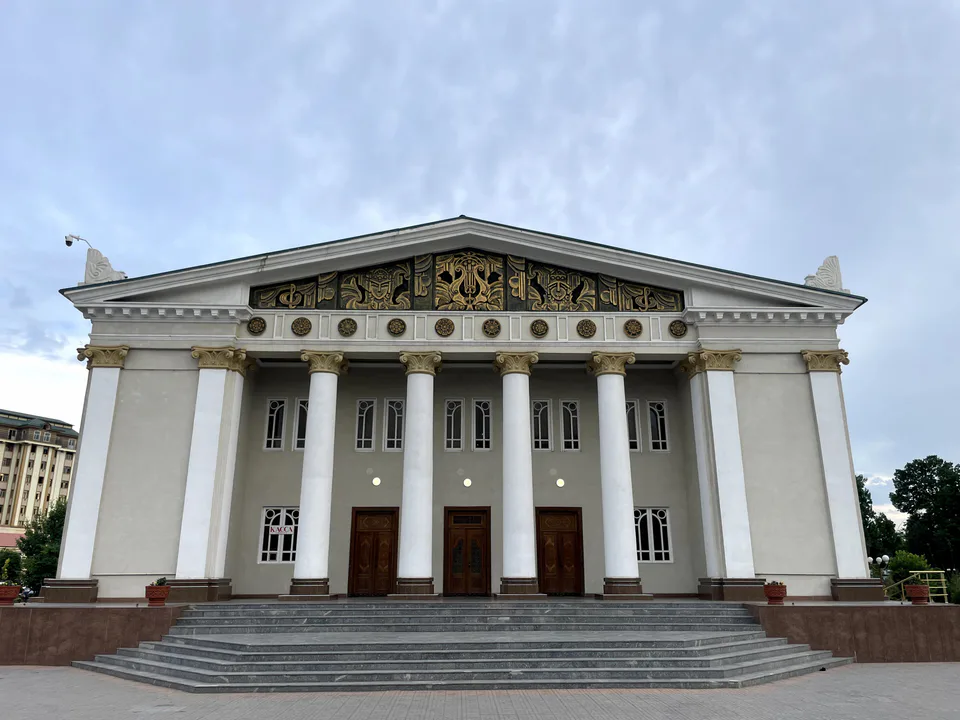
Namangan
city · The valley's capital of flowers
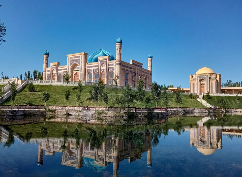
Chortoq District
district · Healing springs and 'four hills'
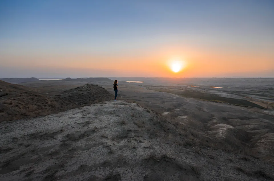
Chust District
district · Home of knife-makers and skullcap embroiderers
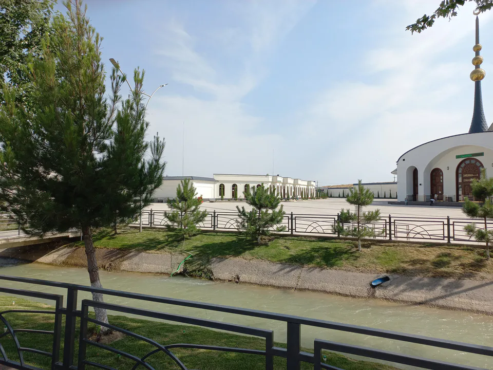
Davlatobod District
district · Namangan's western city district
Kosonsoy District
district · Land of ancient Kasan and Makhdumi Azam
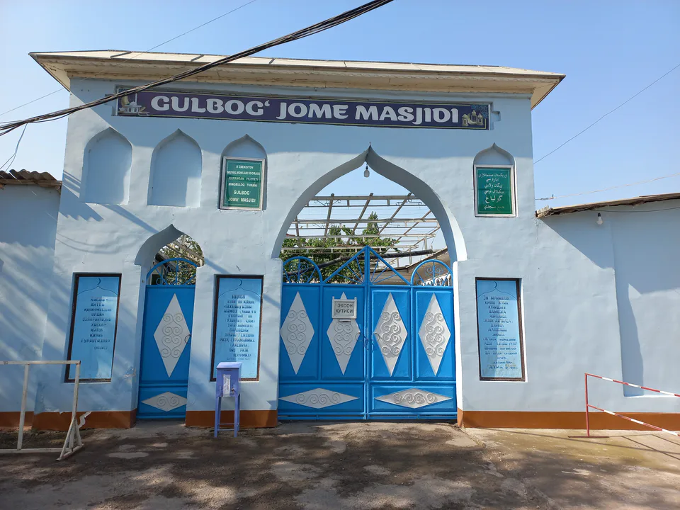
Mingbuloq District
district · Sands and lakes on the Syr Darya's left bank
Namangan District
district · An irrigated oasis between two rivers
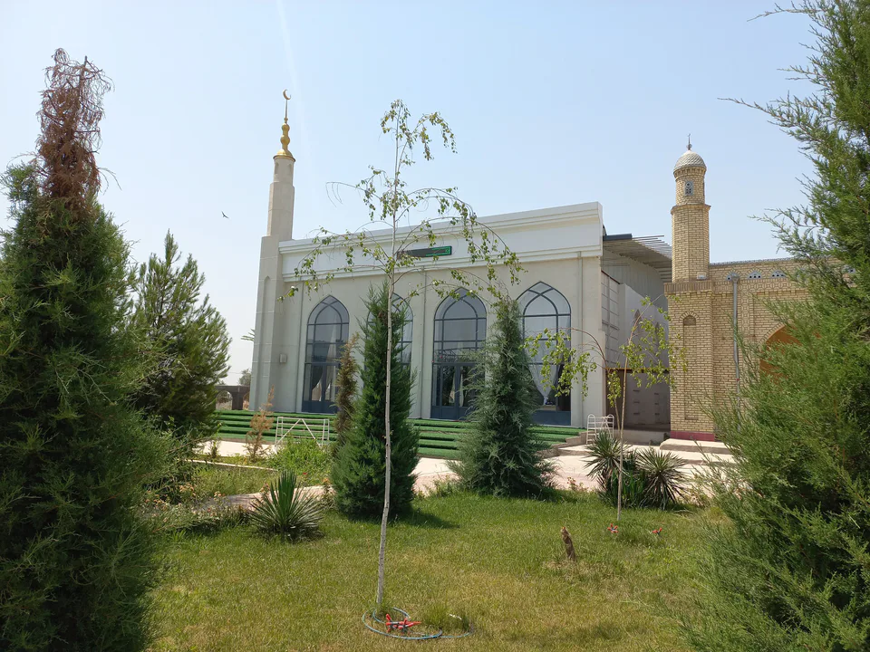
Pop District
district · Ancient Bab and the Chatkal mountains
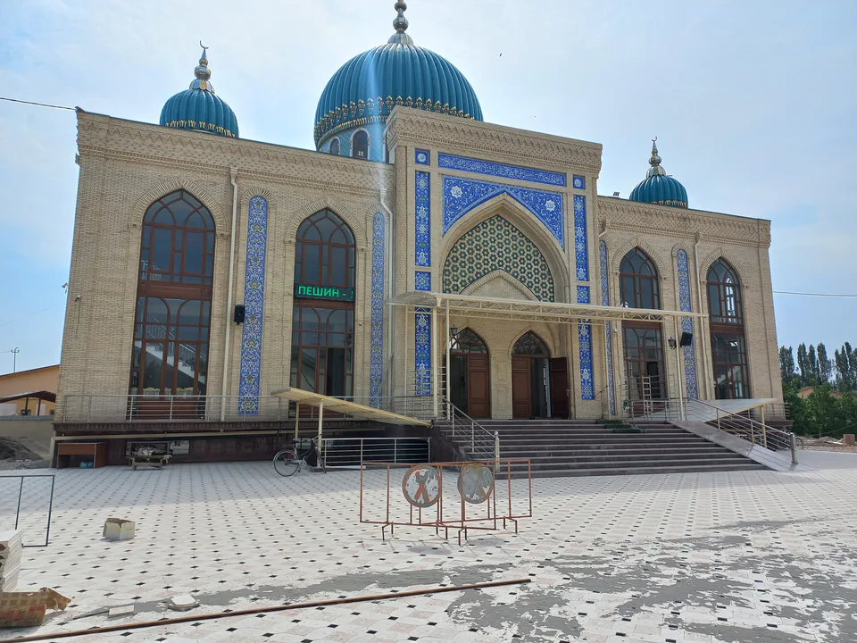
Turakurgan District
district · The land of Akhsikath and Ibrat
Uchqurgan District
district · 'Three fortresses' on the Naryn
Uychi District
district · Home of the Devona Buva shrine
Yangi Namangan District
district · The youngest city district
Yangiqurgan District
district · Mountains and foothills below the Chatkal