Archaeology · Pop District
Munchoqtepa and Balandtepa
Ancient Pap and its necropolis
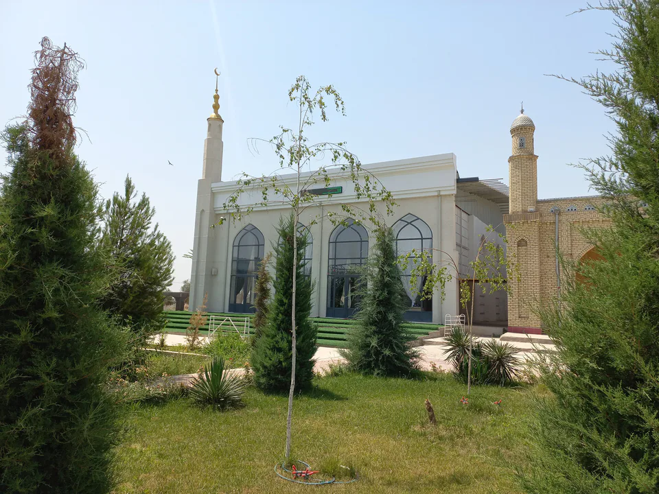
district · Namangan Region
The region's largest district, stretching from the Chatkal mountains to the Syr Darya, with the ruins of ancient Pap (Bab), the Munchoqtepa necropolis and a national nature park.
Pop District was formed in 1926, renamed Chust-Pop in 1930 and became Pop again in 1931. From 1960 to 1967 it belonged to Fergana Region, returning to Namangan Region in December 1967. It borders Kyrgyzstan's Jalal-Abad Region to the north, Chust and Mingbuloq districts to the east, Fergana Region's Buvayda and Dangara districts to the south, and to the west Tajikistan's Asht District and the Ohangaron and Bostonliq districts of Tashkent Region. It is the largest district in the region by area and contains the Tajik enclave of Sarvak.
Medieval sources record Pop as 'Bab', which scholars interpret as 'river crossing' or 'fortress'. The ancient town of Pap is listed among Fergana's towns as early as the Arab conquest.
Balandtepa on the Syr Darya — ancient Pap — has been on UNESCO's Tentative List since 2008, and the neighbouring Munchoqtepa necropolis is famous for its finds of silk and beads. In 2022 the 10,000-hectare Pop National Nature Park was created in the mountains. The district has the Chodak gold deposit, and the underground thermal waters of Chust–Pop are rich in iodine and bromine. The Angren–Pop railway, opened in 2016, linked the valley with Tashkent through a tunnel under the Kamchik Pass.
Pop District
Airport, railway station and bus stations — addresses, timetables and the live board.
All transportKokand Nearest point: Kokand, 62 km
12°clear sky
Weather: MET Norway
Pop District
Khokimiyat, public service centre and other offices: addresses, phones, hours.
All offices (4)Khokimiyat
5 Istiqlol St, Pop
Read morePublic Service Centre
6 Amir Temur St, Uch uyli mahalla, Pop District
Read more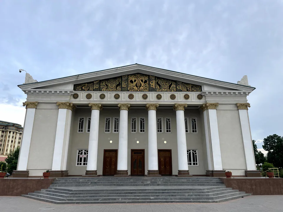
city · The valley's capital of flowers
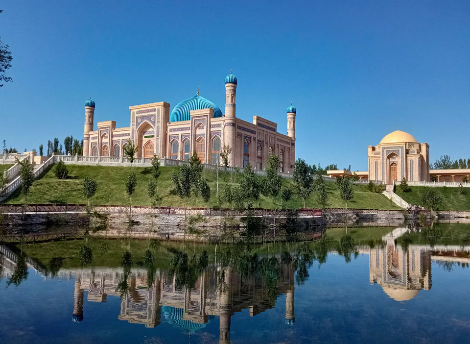
district · Healing springs and 'four hills'
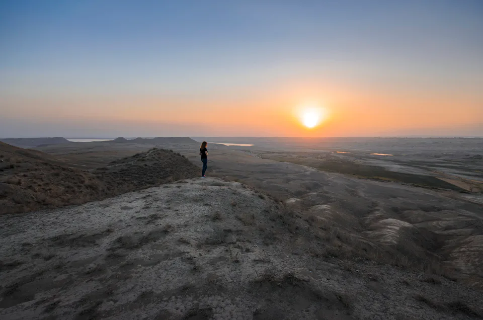
district · Home of knife-makers and skullcap embroiderers
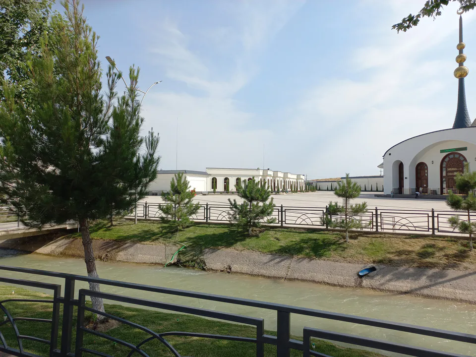
district · Namangan's western city district
district · Land of ancient Kasan and Makhdumi Azam
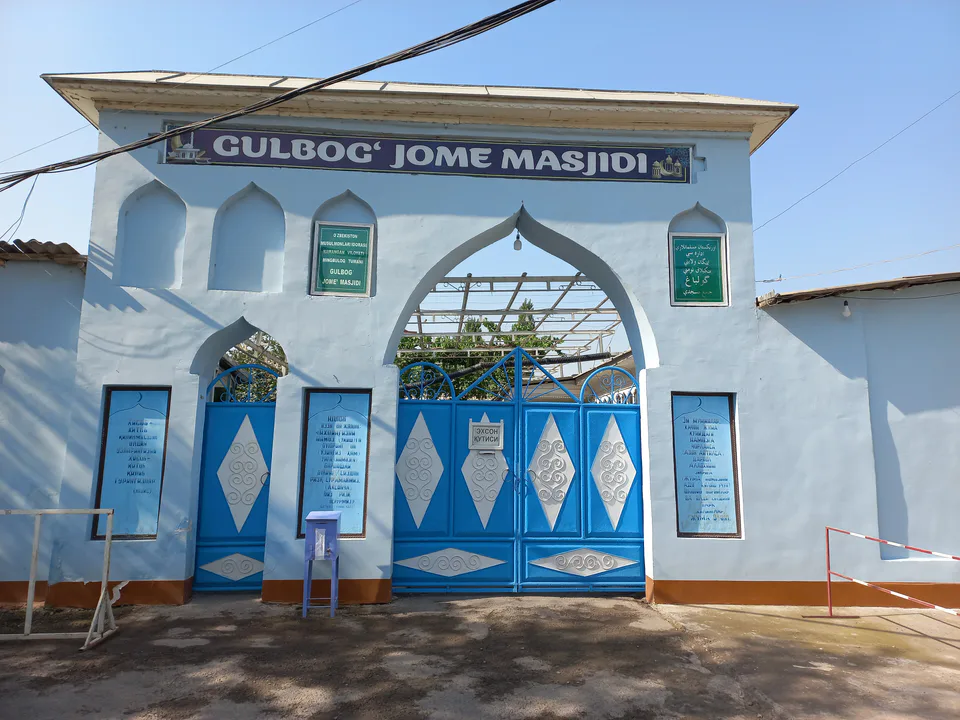
district · Sands and lakes on the Syr Darya's left bank
district · An irrigated oasis between two rivers
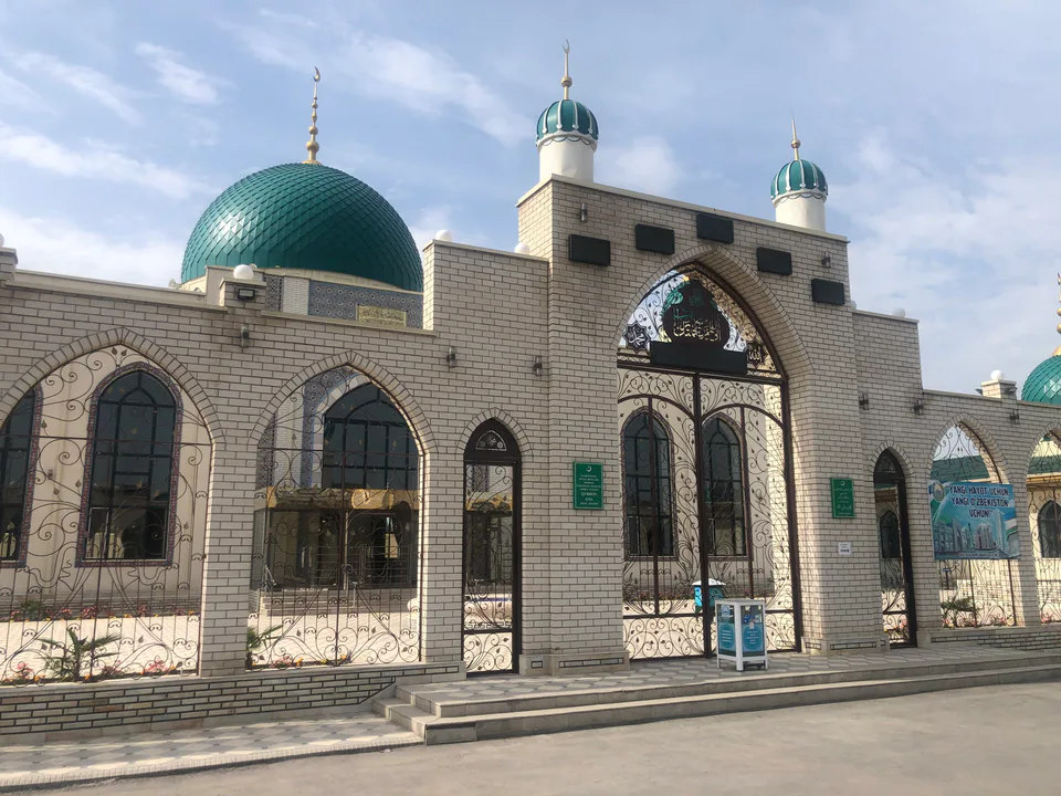
district · A district on the banks of the Naryn
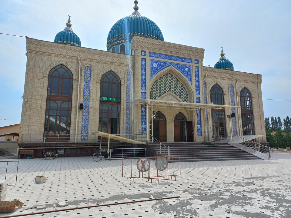
district · The land of Akhsikath and Ibrat
district · 'Three fortresses' on the Naryn
district · Home of the Devona Buva shrine
district · The youngest city district
district · Mountains and foothills below the Chatkal