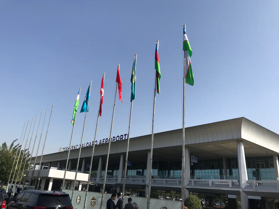
district · Tashkent
Sergeli District
A southern district created in 1967 around new housing estates for people made homeless by the earthquake; linked to the metro since 2020.
Photo: Alpasli · CC BY-SA 4.0 · Wikimedia Commons
Location and history
The name comes from the Sirgeli (Sirgali), a Kazakh tribal union. Sergeli District was formed on 20 January 1967 out of the mass housing built on empty land for those left homeless by the 1966 earthquake; in the 1980s–1990s four- and nine-storey blocks replaced one- and two-storey wooden houses.
It borders the Yakkasaray, Mirabad, Chilanzar, Bektemir and Yangihayot districts and the Zangiota district of the region, from which it gained 1,827.1 ha in 2021. Its population was 177,700 on 1 October 2025.
What it is known for
On 26 December 2020 the five-station Sergeli branch of the Chilonzor metro line opened. The ancient mounds of Kugaittepa and Khonobodtepa survive within the district.
Sergeli District
Getting there
Airport, railway station and bus stations — addresses, timetables and the live board.
All transportTashkent Nearest point: Tashkent, 9 km
11°clear sky
- 11° / 10°
- 1.2 m/s
- 50%
- Today11°10°
- Mon19°5°
- Tue21°7°
- Wed18°11°
- Thu17°9°
Weather: MET Norway
Sergeli District
Government offices
Khokimiyat, public service centre and other offices: addresses, phones, hours.
All offices (9)Khokimiyat
Sergeli District Khokimiyat
1 Sugdiyona St, Tashkent 100085
Mon–Fri 9:00–18:00, lunch 13:00–14:00
Read morePublic Service Centre
Sergeli District Public Services Center
3A Obihayot St, Sergeli District, Tashkent
Read more- Customs · Sergeli District Tashkent-AERO Specialised Customs Complex Islam Karimov Tashkent International Airport, Sergeli District, Tashkent
- Police · Sergeli District Sergeli District Department of Internal Affairs G40, Sergeli-2 housing estate, Sergeli District, Tashkent
- Justice · Sergeli District Sergeli District Justice Department 1 Sugdiyona St, Sergeli District, Tashkent
- Civil registry · Sergeli District Sergeli District Civil Registry Office Corner of Yangi Sergeli and Shokirariq Streets, Sergeli District, Tashkent
- Emergencies · Sergeli District Sergeli District Emergency Situations Department 3 Nilufar 2nd Lane, Sergeli District, Tashkent
- Employment · Sergeli District Sergeli District Poverty Reduction and Employment Office 19 Yangi Sergeli St, Sergeli District, Tashkent
Sergeli District
Postal codes
Codes of the post offices in this city or district.
All postcodes (10)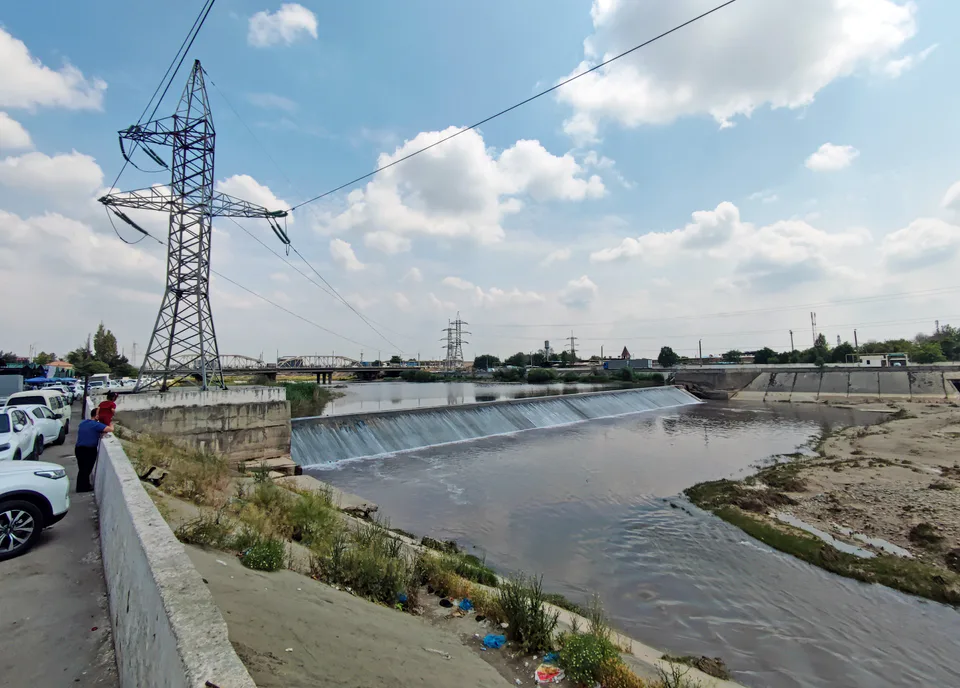
Bektemir District
district · The least populous district, on the Chirchiq
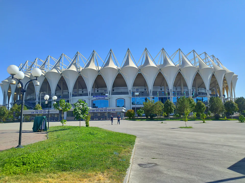
Chilanzar District
district · The south-west, rebuilt after the earthquake
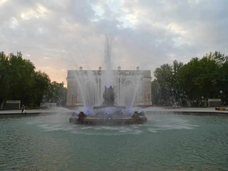
Mirabad District
district · Station, opera house and ancient Ming Uryuk
Mirzo Ulugbek District
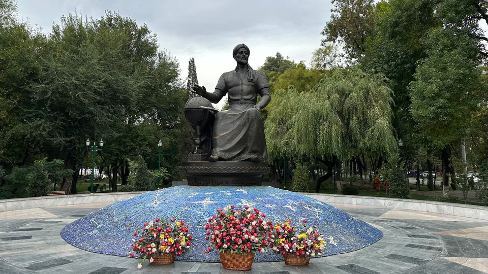
district · The north-east of science and universities
Almazar District
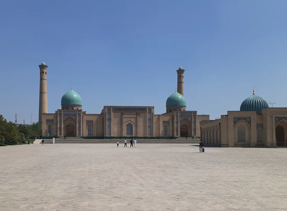
district · The most populous district, home of Hazrati Imam
Shaykhantahur District
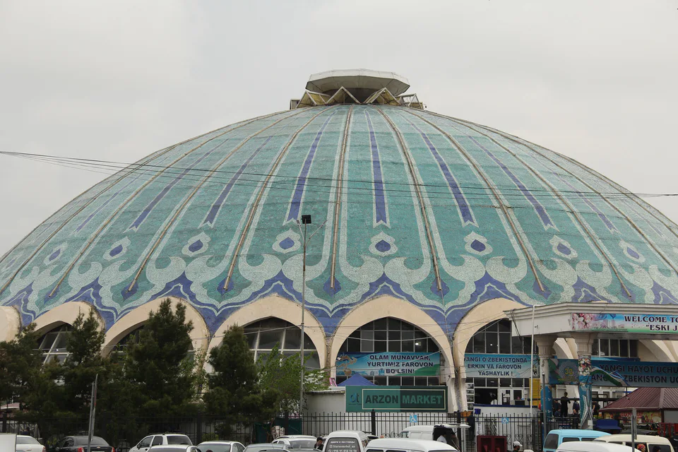
district · The historic core with Chorsu and Kukeldash
Uchtepa District
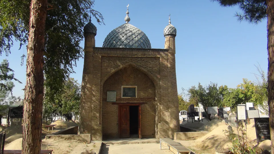
district · The western district of 'three hills'
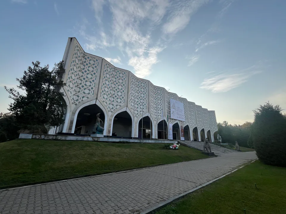
Yakkasaray District
district · The smallest, with no border with the region
Yangi Tashkent District
district · A 13th district and new administrative centre in the making
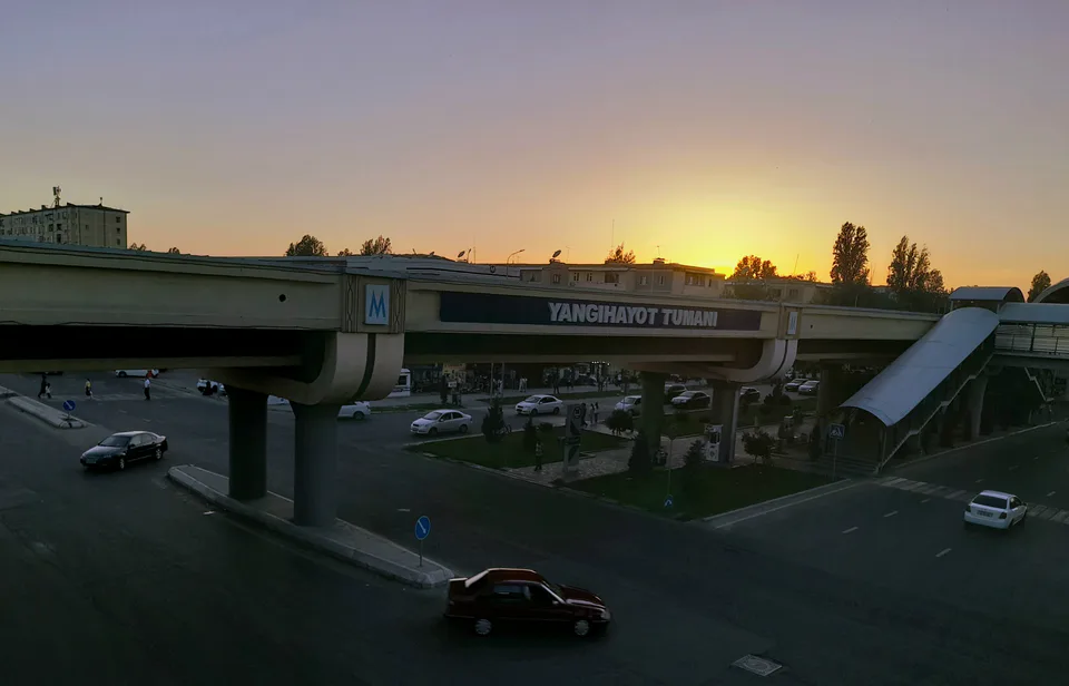
Yangihayot District
district · The youngest district, created in 2020
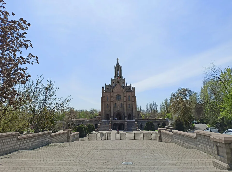
Yashnabad District
district · Churches and new parks
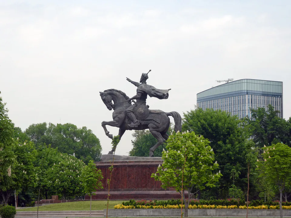
Yunusabad District
district · From Amir Timur Square to the ring road