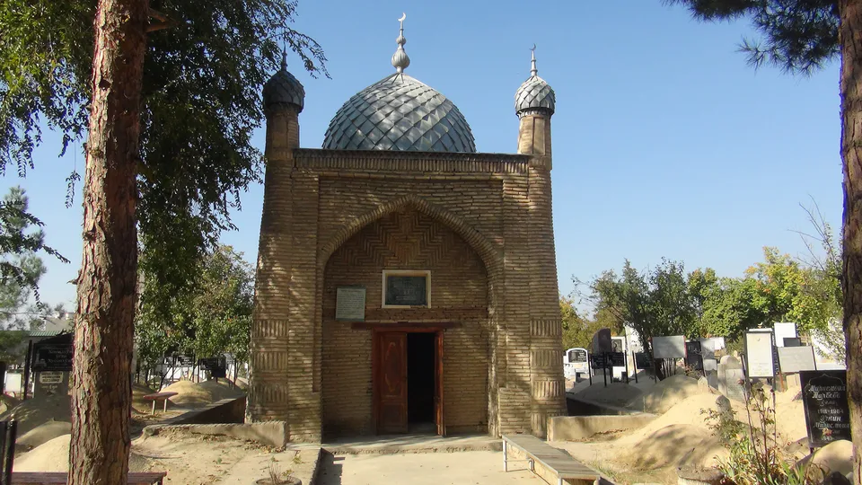
district · Tashkent
Uchtepa District
A residential district in the west of the capital, created in 1977 and named since 2005 after the historic locality of Uchtepa, known since the 18th century.
Photo: Alpasli · CC BY-SA 4.0 · Wikimedia Commons
Location and history
The district was created on 15 September 1977 from parts of the Chilanzar and October districts as Akmal Ikramov District. On 6 May 2005 it was renamed Uchtepa — 'three hills' — after a locality known since the 18th century. It borders the Shaykhantahur and Chilanzar districts and the Zangiota district of Tashkent Region.
Largely made up of high-rise housing estates, it had 303,300 residents on 1 October 2025.
What to see
Its archaeological monuments of national importance include the Chopon Ota complex (probably 18th century) and the Fozyltepa town site (5th–12th centuries), as well as the Said Vaqqos Mosque. The Bozsu, Qoraqamish and Kukcha canals cross the district, which takes in part of the Chilanzar estates and the Karvon Bozori, Orikzor and Guliston neighbourhoods, and is home to the University of World Languages.
Uchtepa District
Getting there
Airport, railway station and bus stations — addresses, timetables and the live board.
All transportTashkent Nearest point: Tashkent, 10 km
11°clear sky
- 11° / 10°
- 1.2 m/s
- 50%
- Today11°10°
- Mon19°5°
- Tue21°7°
- Wed18°11°
- Thu17°9°
Weather: MET Norway
Uchtepa District
Government offices
Khokimiyat, public service centre and other offices: addresses, phones, hours.
All offices (6)Khokimiyat
Uchtepa District Khokimiyat
21 Farhod St, Tashkent 100126
Mon–Fri 9:00–18:00, lunch 13:00–14:00
Read morePublic Service Centre
Uchtepa District Public Services Center
21 Farhod St, Uchtepa District, Tashkent
Read more- Police · Uchtepa District Uchtepa District Department of Internal Affairs 21A Foziltepa St, Uchtepa District, Tashkent
- Justice · Uchtepa District Uchtepa District Justice Department 1B, Block 26, Uchtepa District, Tashkent
- Civil registry · Uchtepa District Uchtepa District Civil Registry Office Block 22, Uchtepa District, Tashkent
- Emergencies · Uchtepa District Uchtepa District Emergency Situations Department Beshqayrogoch mahalla, Uchtepa District, Tashkent
Uchtepa District
Postal codes
Codes of the post offices in this city or district.
All postcodes (10)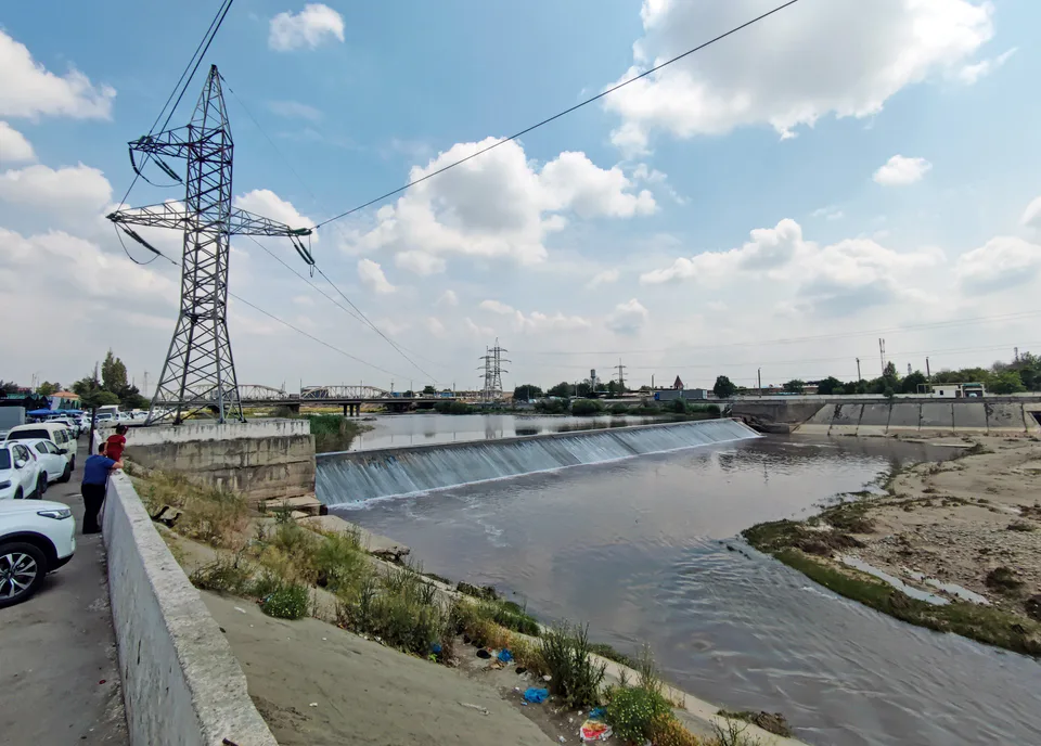
Bektemir District
district · The least populous district, on the Chirchiq
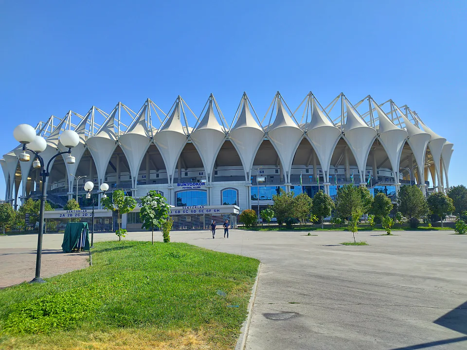
Chilanzar District
district · The south-west, rebuilt after the earthquake
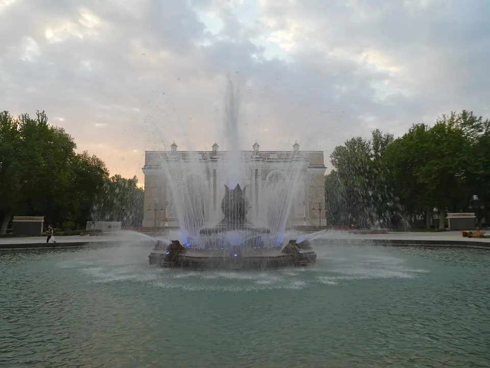
Mirabad District
district · Station, opera house and ancient Ming Uryuk
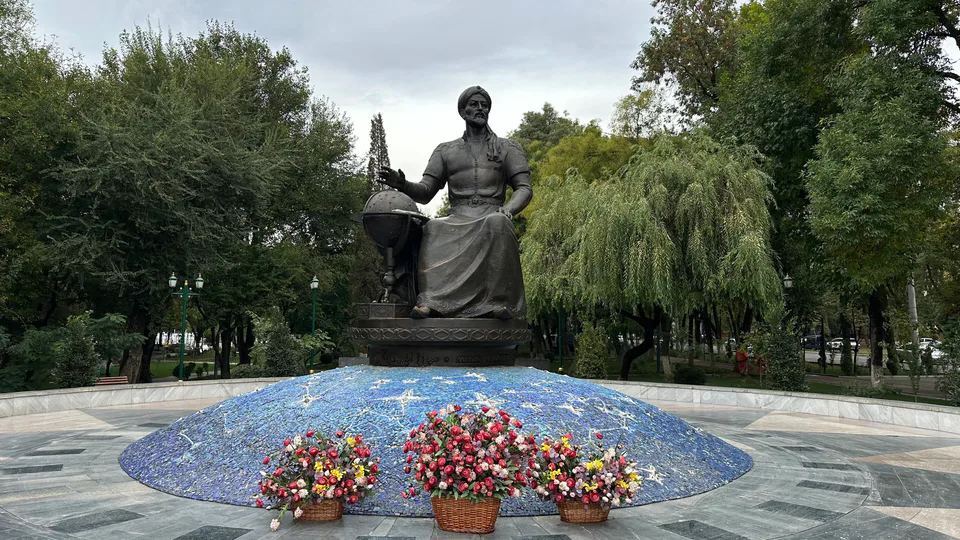
Mirzo Ulugbek District
district · The north-east of science and universities
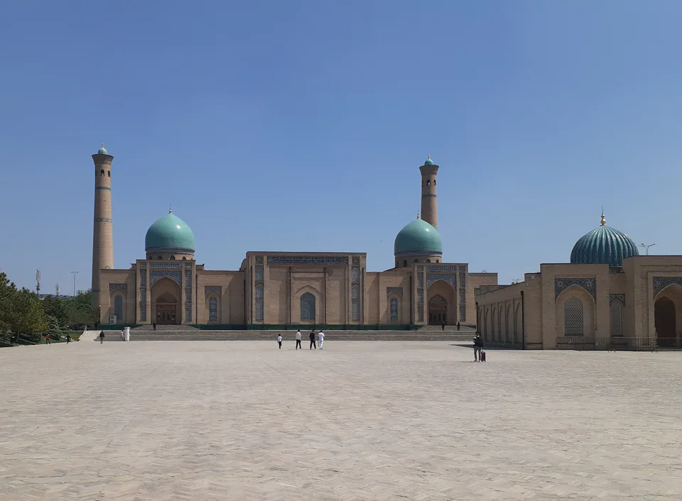
Almazar District
district · The most populous district, home of Hazrati Imam
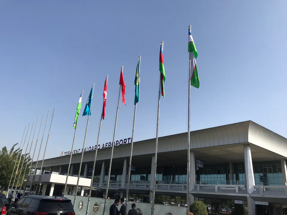
Sergeli District
district · The south that grew after the earthquake
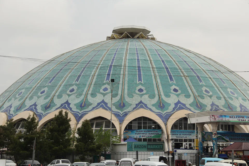
Shaykhantahur District
district · The historic core with Chorsu and Kukeldash
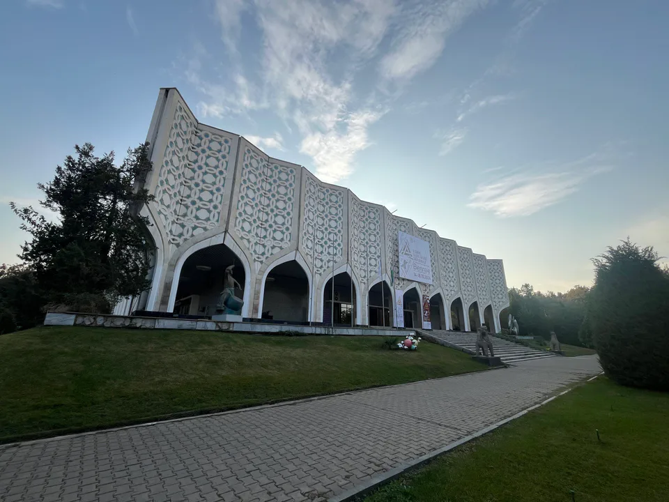
Yakkasaray District
district · The smallest, with no border with the region
Yangi Tashkent District
district · A 13th district and new administrative centre in the making
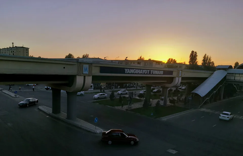
Yangihayot District
district · The youngest district, created in 2020
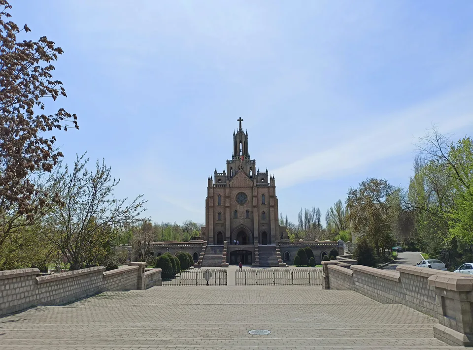
Yashnabad District
district · Churches and new parks
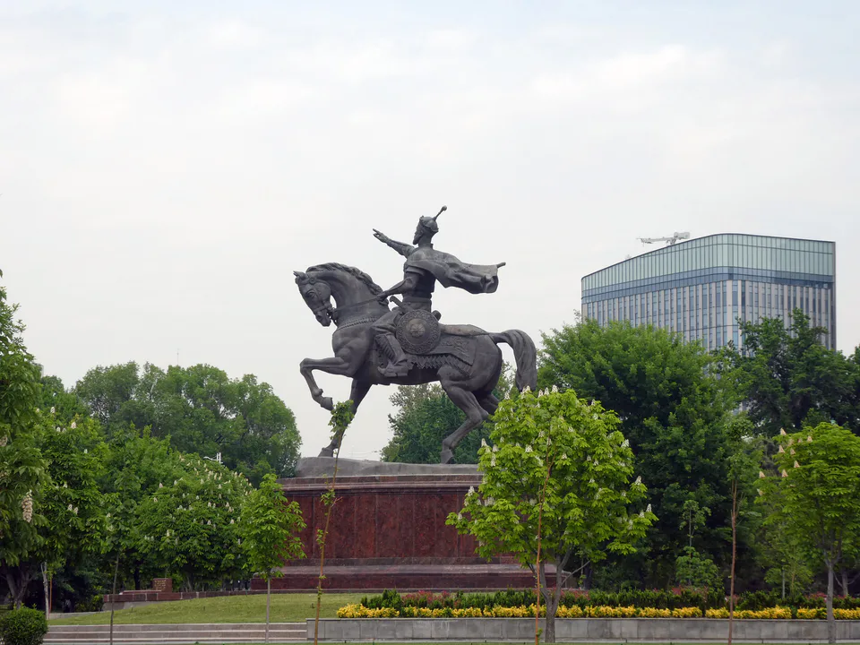
Yunusabad District
district · From Amir Timur Square to the ring road