district · Fergana Region
Uchkuprik District
A densely populated district east of Kokand: ancient farmland on the Sokh river fan and the Sariqurgon archaeological site.
Location and history
Uchkuprik District was formed in 1926, merged with Bagdod District in 1962 and re-created at the end of 1964. It borders Bagdod and Buvayda to the east, Dangara District and Kokand to the north and west, Uzbekistan District to the south-west and Rishtan to the south-east. It covers about 280 km², and its centre is the village of Uchkuprik.
The terrain is mostly flat, with foothills of old Sokh-fan conglomerates in the south. Mountains shield the district from cold northern winds, so winters are relatively mild.
What it is known for
This has been farmland since antiquity and still grows cotton, grain, vegetables and fruit. The Sariqurgon ancient town site is state-protected and forms part of the serial 'Silk Roads: Fergana–Syrdarya Corridor' nomination. Being close to Kokand, the district is a handy place to see village life around the former capital.
Uchkuprik District
Getting there
Airport, railway station and bus stations — addresses, timetables and the live board.
All transportKokand Nearest point: Kokand, 9 km
11°clear sky
- 11° / 10°
- 1.3 m/s
- 68%
- Today11°10°
- Mon19°7°
- Tue20°7°
- Wed18°10°
- Thu18°11°
Weather: MET Norway
Uchkuprik District
Government offices
Khokimiyat, public service centre and other offices: addresses, phones, hours.
All offices (4)Khokimiyat
Uchkoprik District Khokimiyat
46 Navroz Ave, Uchkoprik
Mon–Fri 9:00–18:00
Read morePublic Service Centre
Uchkoprik District Public Services Centre
Jaloer village, Baxrin mahalla, Uchkoprik District
Read moreUchkuprik District
Postal codes
Codes of the post offices in this city or district.
All postcodes (10)
Fergana
city · The valley's leafy administrative capital
Margilan
city · Home of atlas and adras silk
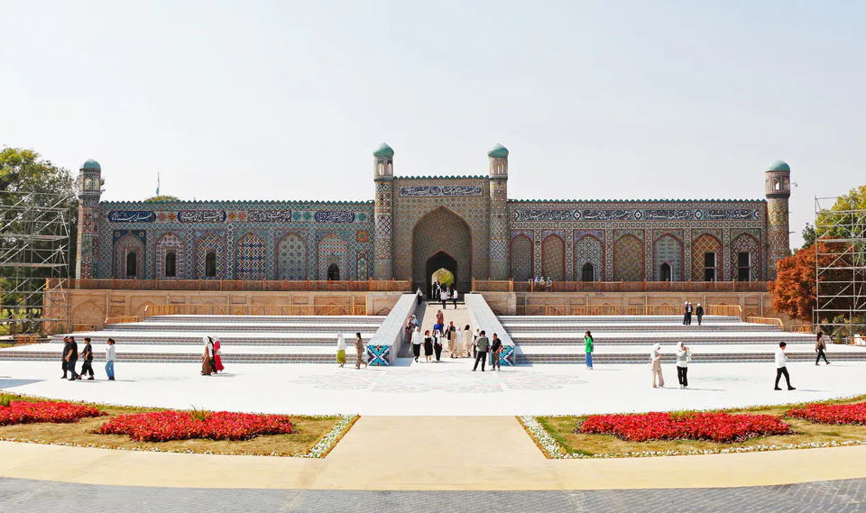
Kokand
city · Khanate capital and city of poets
Kuvasay
city · An industrial town at the foot of the mountains
Bagdod District
district · Villages from Mukimi's travel satire
Beshariq District
district · A border district between the Syr Darya and the Isfara
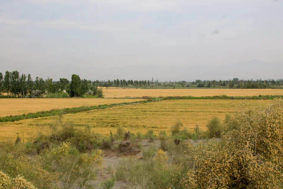
Buvayda District
district · Land of the Bibi Ubayda and Podsho Pirim shrines
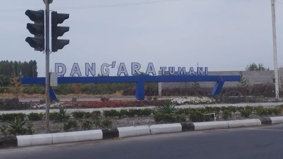
Dangara District
district · A windswept oasis on the Syr Darya terraces
Furqat District
district · The youngest district, named after a poet
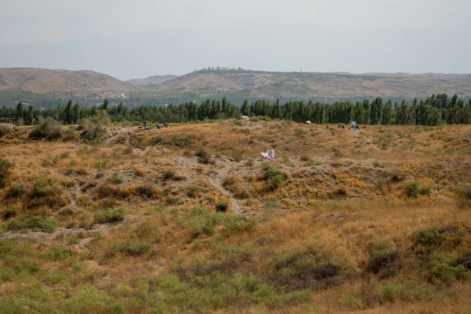
Oltiariq District
district · The land of 'six canals' below the foothills
Uzbekistan District
district · A border district below the Turkestan Range
Qoshtepa District
district · Hills and the Kumtepa Bazaar
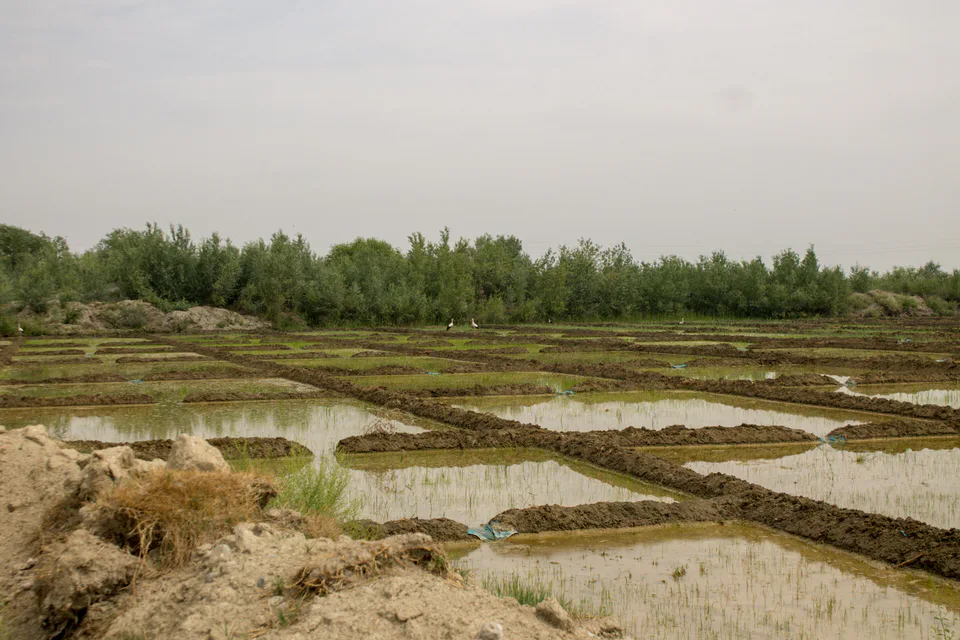
Quva District
district · Ancient Kuba of the Fergana Valley
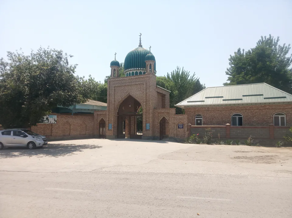
Rishtan District
district · Home of the blue-glazed pottery
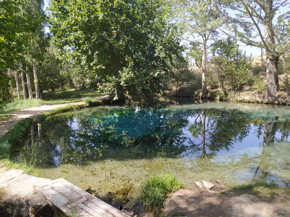
Sokh District
district · A mountain exclave inside Kyrgyzstan
Toshloq District
district · Orchards between Margilan and Kuva
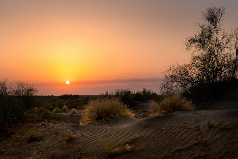
Yozyovon District
district · A sandy desert at the heart of the valley
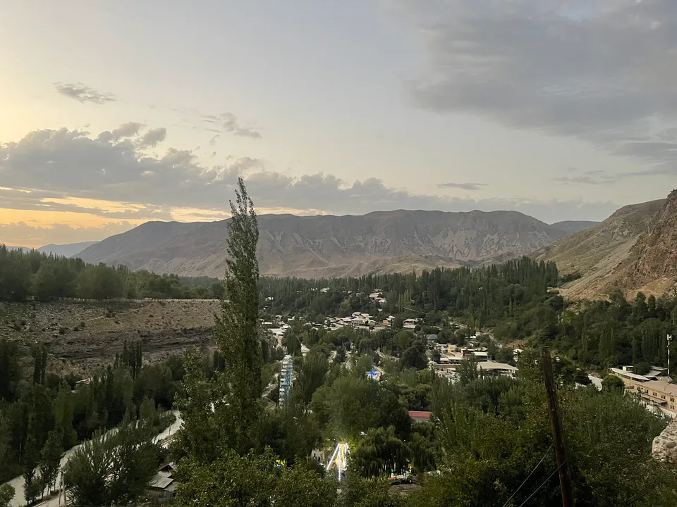
Fergana District
district · Vodil's plane trees and the road to Shohimardon