Archaeology · Quva District
Ancient Kuva
The ruins of Kuba and its Buddhist temple
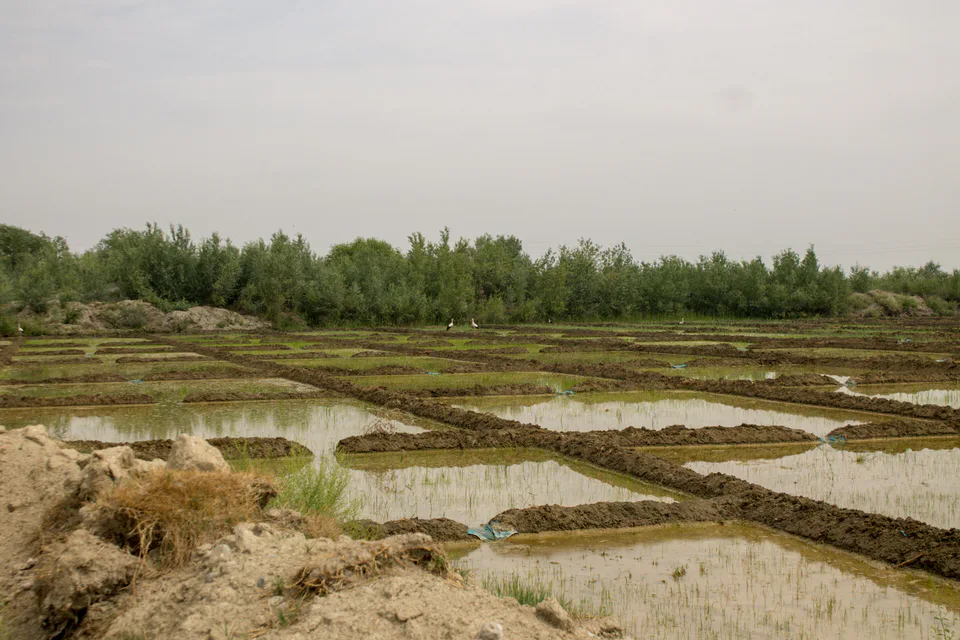
district · Fergana Region
The region's most populous district, centred on Kuva — in the 10th century the valley's second city after Akhsikath, known today for the ruins of a Buddhist temple.
Quva District was formed in 1926 and lies in the east of the region, on the borders of Andijan Region and Kyrgyzstan's Osh Region. It covers about 440–460 km² and has the largest population of any district in the region. Its centre is the town of Kuva, 40 km east of Fergana.
Kuva is one of the oldest towns in the valley; scholars date its origins to the 3rd century BC. Tenth-century Arab geographers described the city of Kuba as a citadel, shahristan and rabad, second in Fergana only to Akhsikath. It was destroyed in the Mongol invasion of the early 13th century.
Excavations in 1956–1958 uncovered a Buddhist temple of the 7th–8th centuries in the old suburb, with fragments of clay Buddha statues. The archaeological zone in the town centre and the monument to Ahmad al-Farghani draw visitors, and a Bronze Age settlement was found near the village of Akbarobod, which also gives its name to a state natural monument.
Quva District
Quva District
Airport, railway station and bus stations — addresses, timetables and the live board.
All transportFergana Nearest point: Fergana, 27 km
11°clear sky
Weather: MET Norway
Quva District
Khokimiyat, public service centre and other offices: addresses, phones, hours.
All offices (4)Khokimiyat
244 Qayqubbod St, Quva
Mon–Fri 9:00–18:00
Read morePublic Service Centre
244G Qayqubbod St, Quva District
Read more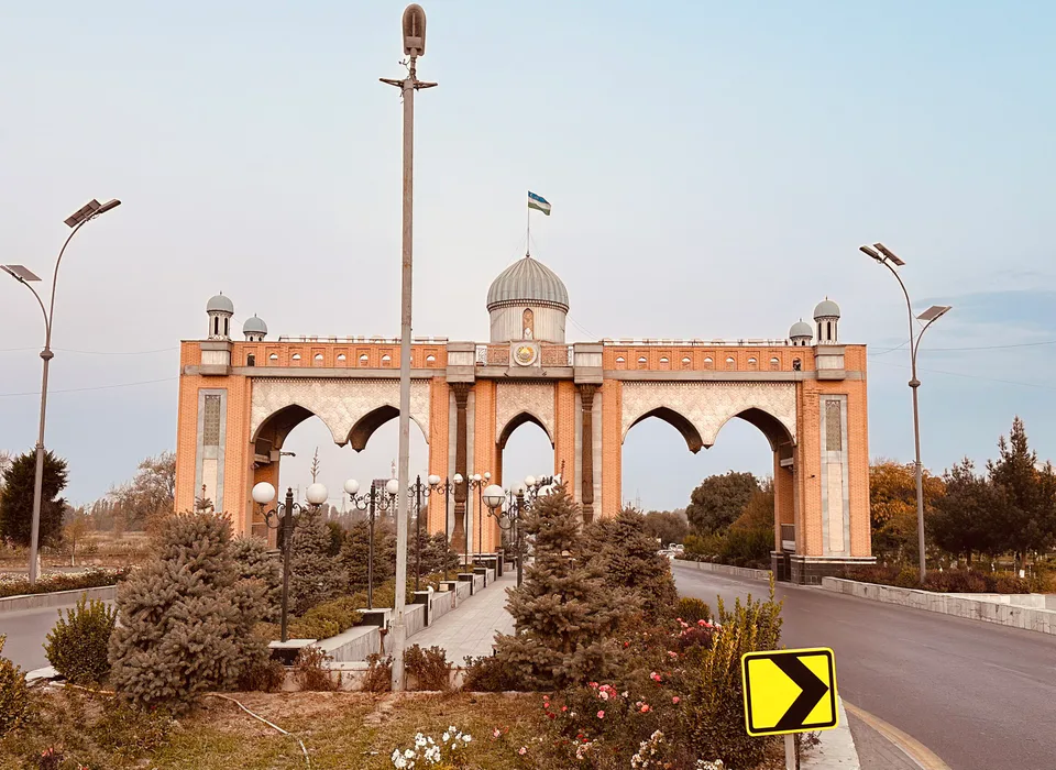
city · The valley's leafy administrative capital
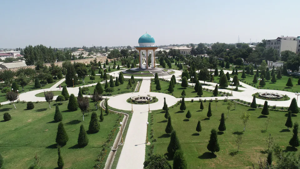
city · Home of atlas and adras silk
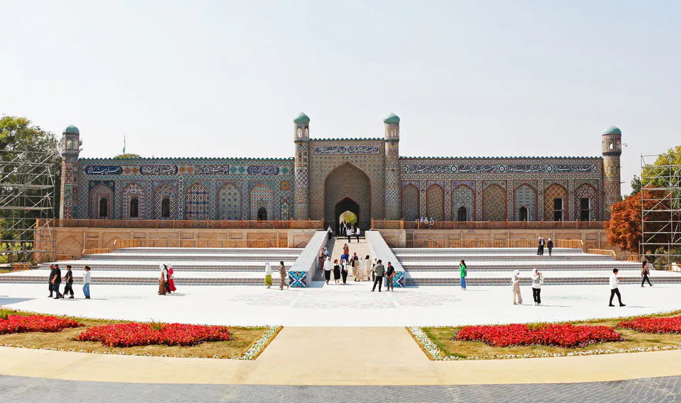
city · Khanate capital and city of poets
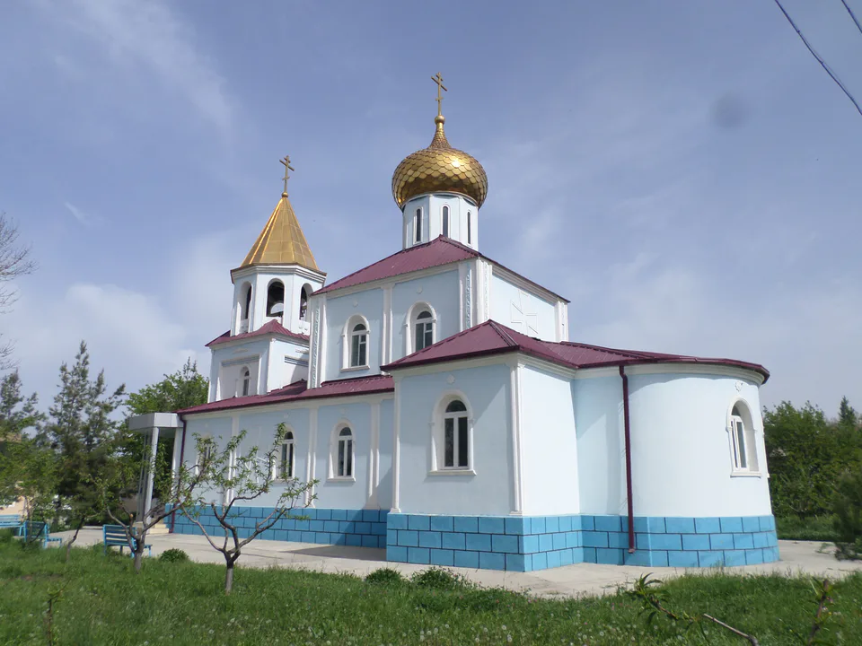
city · An industrial town at the foot of the mountains
district · Villages from Mukimi's travel satire
district · A border district between the Syr Darya and the Isfara
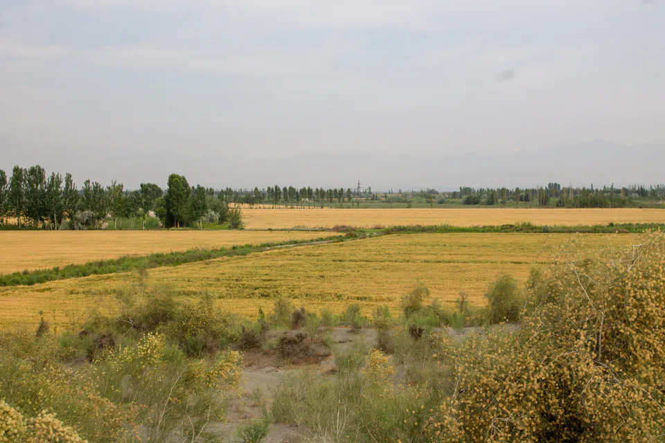
district · Land of the Bibi Ubayda and Podsho Pirim shrines
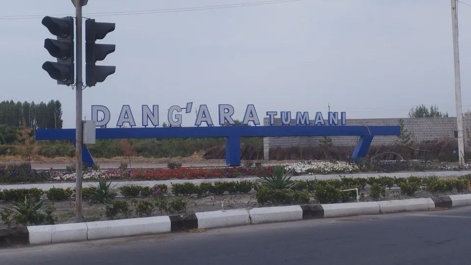
district · A windswept oasis on the Syr Darya terraces
district · The youngest district, named after a poet
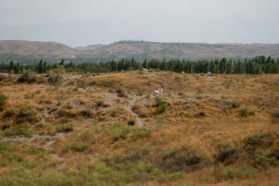
district · The land of 'six canals' below the foothills
district · A border district below the Turkestan Range
district · Hills and the Kumtepa Bazaar
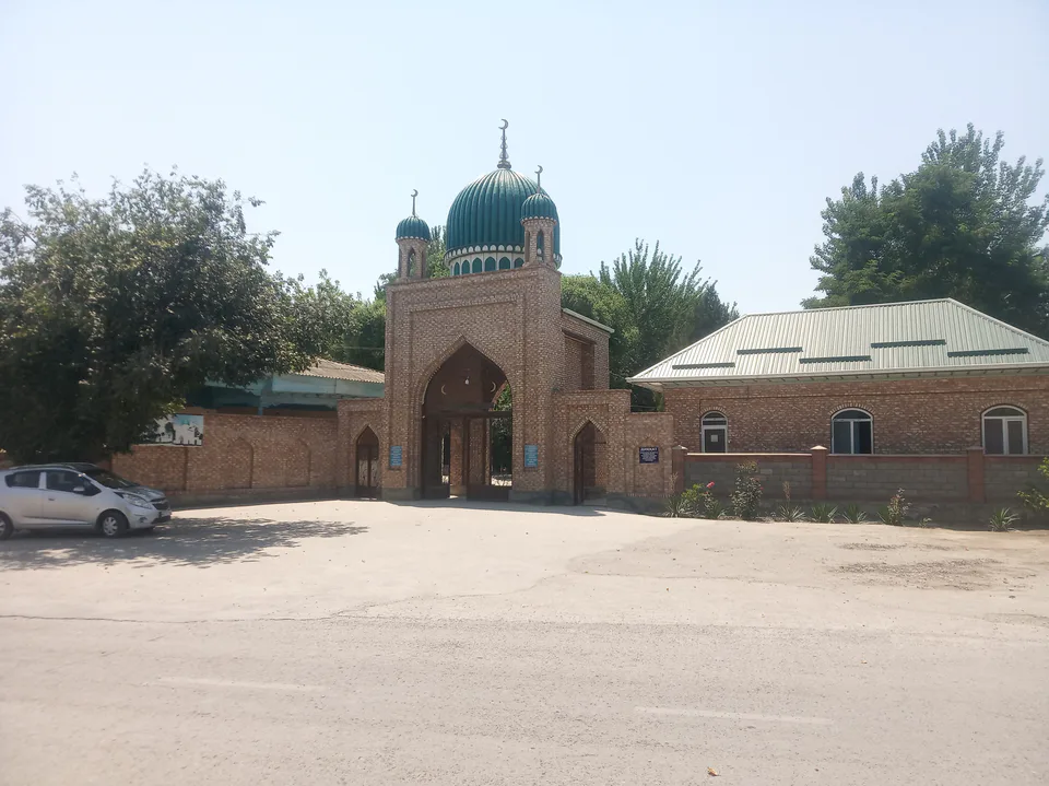
district · Home of the blue-glazed pottery
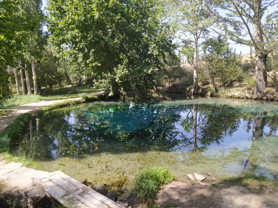
district · A mountain exclave inside Kyrgyzstan
district · Orchards between Margilan and Kuva
district · The 'three bridges' oasis next to Kokand
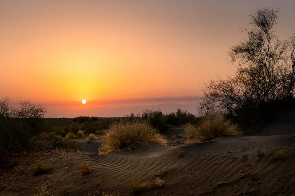
district · A sandy desert at the heart of the valley
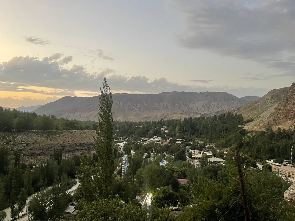
district · Vodil's plane trees and the road to Shohimardon