Pilgrimage site · Buvayda District
Podsho Pirim Complex
The shrine of Fergana's 'supreme patron'
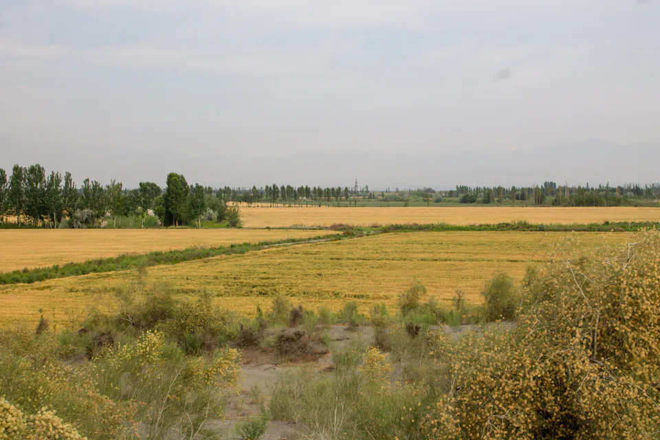
district · Fergana Region
A flat district north of Kokand, named after the shrine of Bibi Ubayda (Bibi Buvayda) and home to the 15th–16th-century Podsho Pirim complex.
Buvayda District was formed in 1926, abolished in 1959 and re-established at the end of 1973. It lies north of Kokand, bordering Bagdod, Uchkuprik, Dangara and Oltiariq districts and Pop District of Namangan Region. It covers about 280 km², and its centre is the town of Ibrat.
The land is flat, with sand dunes in the north-west. Fields are watered from the Sokh river, the Great Fergana and Great Andijan canals, and groundwater.
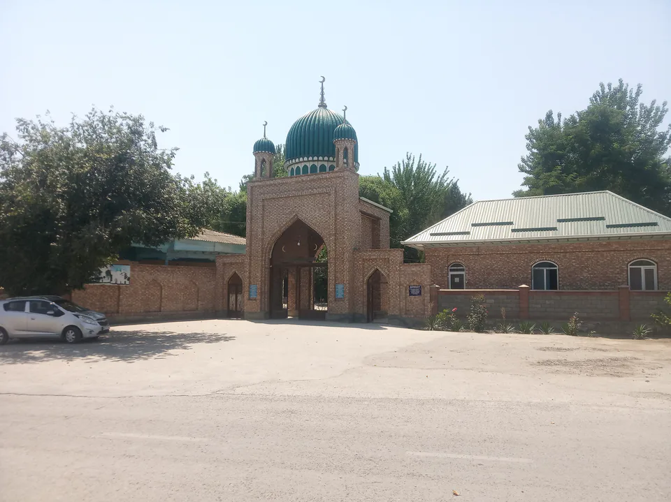
The district takes its name from Bibi Ubayda, whom local tradition calls the mother of Shah Jalil; her mausoleum is dated to the 15th–16th centuries. In the village of Bekobod stands the Podsho Pirim complex — a gatehouse, mosque, cemetery and mausoleum often mentioned in the history of the Kokand Khanate. Both monuments are on UNESCO's Tentative List as components of the 'Silk Roads: Fergana–Syrdarya Corridor' nomination.
Buvayda District
Airport, railway station and bus stations — addresses, timetables and the live board.
All transportKokand Nearest point: Kokand, 21 km
12°clear sky
Weather: MET Norway
Buvayda District
Khokimiyat, public service centre and other offices: addresses, phones, hours.
All offices (4)Khokimiyat
2 Dostlik St, Yangiqorgon mahalla, Buvayda District
Mon–Fri 9:00–18:00
Read morePublic Service Centre
10 Dostlik St, Yangiqorgon mahalla, Buvayda District
Read more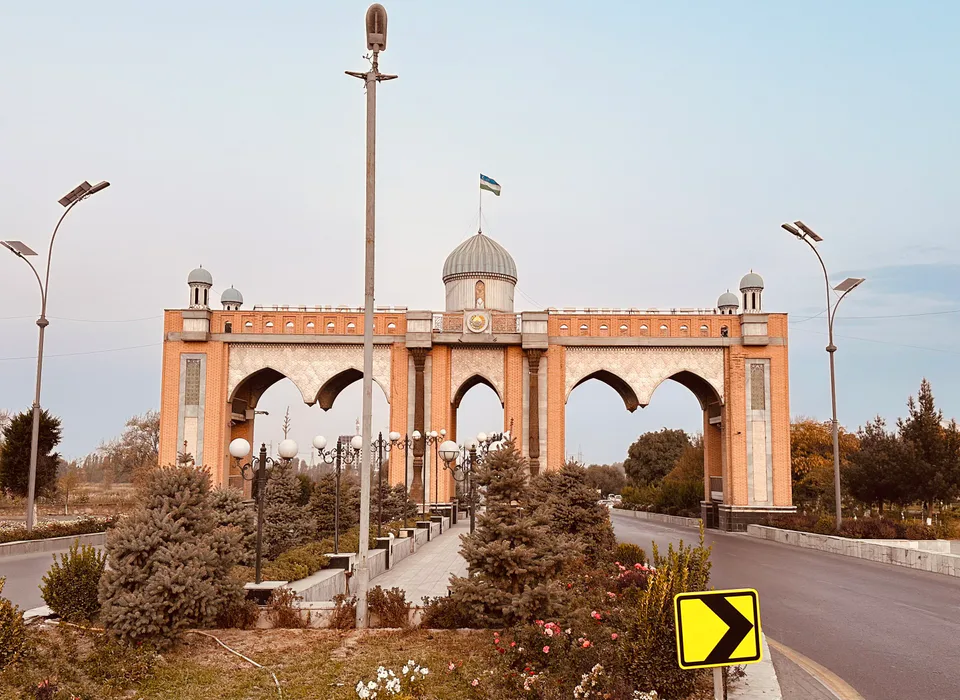
city · The valley's leafy administrative capital
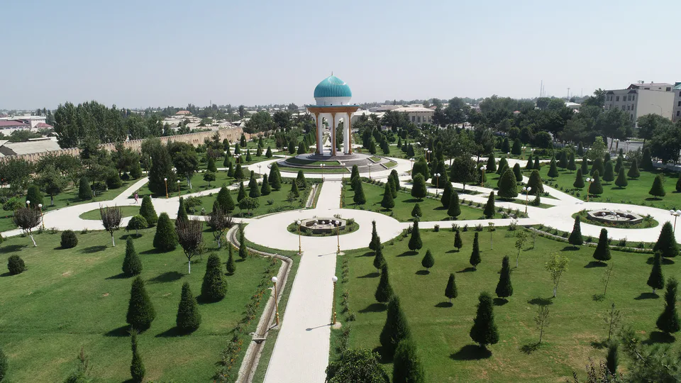
city · Home of atlas and adras silk
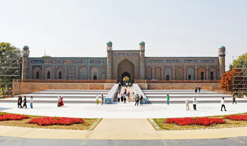
city · Khanate capital and city of poets
city · An industrial town at the foot of the mountains
district · Villages from Mukimi's travel satire
district · A border district between the Syr Darya and the Isfara
district · A windswept oasis on the Syr Darya terraces
district · The youngest district, named after a poet
district · The land of 'six canals' below the foothills
district · A border district below the Turkestan Range
district · Hills and the Kumtepa Bazaar
district · Ancient Kuba of the Fergana Valley
district · Home of the blue-glazed pottery
district · A mountain exclave inside Kyrgyzstan
district · Orchards between Margilan and Kuva
district · The 'three bridges' oasis next to Kokand
district · A sandy desert at the heart of the valley
district · Vodil's plane trees and the road to Shohimardon