district · Andijan Region
Asaka District
The region's most populous district; its centre, Asaka, has been home to Uzbekistan's first car factory since 1996.
Asaka and its cars
Asaka District was created in 1926, merged with its neighbours several times and re-formed within its present borders in 1970. Its centre, Asaka, 16 km from Andijan, was called Leninsk in Soviet times and regained its historic name after independence. The town lies on the Shahrikhansoy canal, on the Andijan–Fergana highway and the Andijan–Kokand railway.
On 19 July 1996 the UzDaewooAuto joint-venture plant in Asaka rolled out its first cars, marking the birth of Uzbekistan's car industry. Renamed GM Uzbekistan in 2008 and UzAuto Motors in 2019, it builds Chevrolet vehicles.
There are several theories about the name: the historian T. Shirinov links it to the ancient Saka ('asvaka' meaning horse), which is why a horse statue was put up at the town entrance in 1997.
Asaka District
Getting there
Airport, railway station and bus stations — addresses, timetables and the live board.
All transportAndijan Nearest point: Andijan, 15 km
10°fair
- 10° / 9°
- 1.4 m/s
- 78%
- Today10°9°
- Mon19°6°
- Tue19°6°
- Wed17°10°
- Thu15°9°
Weather: MET Norway
Asaka District
Government offices
Khokimiyat, public service centre and other offices: addresses, phones, hours.
All offices (5)Khokimiyat
Asaka District Khokimiyat
2 Sohil boyi St, Asaka
8:00–18:00
Read morePublic Service Centre
Asaka District Public Services Centre
9 Sohil boyi St, Asaka District
Read more- Civil registry · Asaka District Asaka District Civil Registry Office No. 1 9 Sohil boyi St, Asaka District
- Civil registry · Asaka District Asaka District Civil Registry Office No. 2 2 Sohil boyi St, Asaka District
- Emergencies · Asaka District Asaka District Emergency Situations Division 30A Umid St, Baraka mahalla, Asaka District
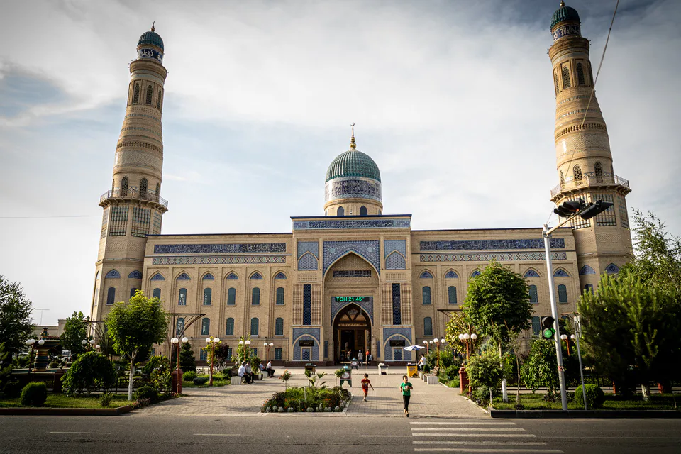
Andijan
city · Babur's birthplace and the valley's eastern gateway
Khanabad
city · A foothill town on the Kara Darya
Andijan District
district · The oases around the regional capital
Baliqchi District
district · Plains on the lower Kara Darya
Buston District
district · Formerly Boz: a land of sand hills and canals
Buloqboshi District
district · The youngest district, at the foot of the Chilustun hills
Izboskan District
district · Between the Mailisoy hills and the Kara Darya
Jalaquduq District
district · A Bronze Age town and an Arab general's shrine
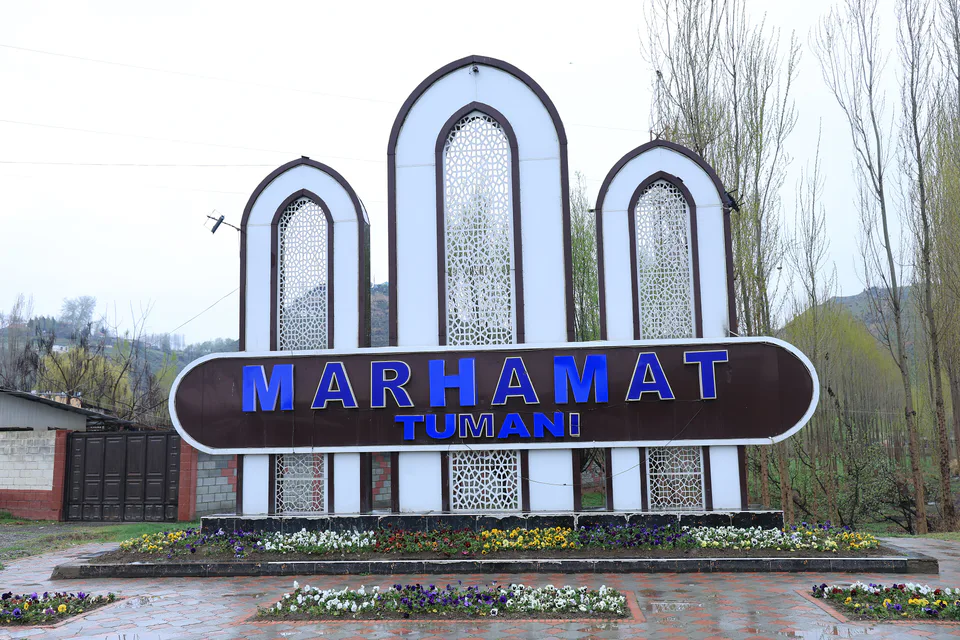
Marhamat District
district · Mingtepa and the Alay foothills
Oltinkul District
district · Crowded oases at the heart of the region
Pakhtaobod District
district · A plateau between the Naryn and the Kara Darya
Kurgantepa District
district · Uzbekistan's easternmost district
Shahrikhan District
district · A town born with Umar Khan's canal
Ulugnor District
district · Wide fields on the region's western edge
Khojaobod District
district · The Chilustun hills and old shrines