district · Andijan Region
Oltinkul District
A compact district in the centre of the region, between the Kara Darya to the north and the Great Fergana Canal to the south, packed with villages and orchards.
Overview
Oltinkul District was formed in 1939 from parts of the Andijan, Asaka and Baliqchi districts, was absorbed into Andijan District in 1963–1978 and re-created in 1978. Its centre is the town of Oltinkul, and it borders five other districts of the region.
The land mixes lowlands, low ridges and loess hills. The Great Fergana Canal runs along the south and the Kara Darya along the north, with the Asaka drain and the Ulugnor canal in between. The climate is sharply continental: summer temperatures can reach 42–43°C and winter frosts fall to minus 15–18°C.
It is one of the most densely populated districts in the region, with more than 890 people per square kilometre growing cotton, grain, fruit and vegetables. The Katta Oq Tepa mound and other local monuments are on the heritage register.
Oltinkul District
Getting there
Airport, railway station and bus stations — addresses, timetables and the live board.
All transportAndijan Nearest point: Andijan, 13 km
10°fair
- 10° / 9°
- 1.4 m/s
- 78%
- Today10°9°
- Mon19°6°
- Tue19°6°
- Wed17°10°
- Thu15°9°
Weather: MET Norway
Oltinkul District
Where to stay and eat
Checked hotels and places to eat — with addresses, phone numbers, opening hours and price levels.
Oltinkul District
Government offices
Khokimiyat, public service centre and other offices: addresses, phones, hours.
All offices (4)Khokimiyat
Oltinkol District Khokimiyat
1 Turkistan St, Oltinkol village
Mon–Fri 9:00–18:00
Read morePublic Service Centre
Oltinkol District Public Services Centre
4 Chinobod St, Oltinkol District
Read moreOltinkul District
Postal codes
Codes of the post offices in this city or district.
All postcodes (5)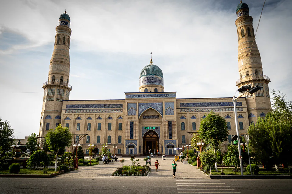
Andijan
city · Babur's birthplace and the valley's eastern gateway
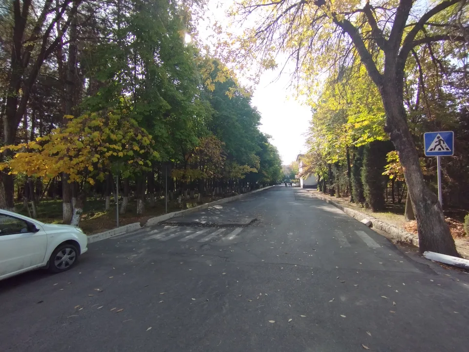
Khanabad
city · A foothill town on the Kara Darya
Andijan District
district · The oases around the regional capital
Asaka District
district · Birthplace of Uzbekistan's car industry
Baliqchi District
district · Plains on the lower Kara Darya
Buston District
district · Formerly Boz: a land of sand hills and canals
Buloqboshi District
district · The youngest district, at the foot of the Chilustun hills
Izboskan District
district · Between the Mailisoy hills and the Kara Darya
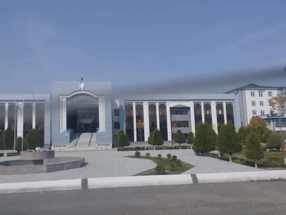
Jalaquduq District
district · A Bronze Age town and an Arab general's shrine
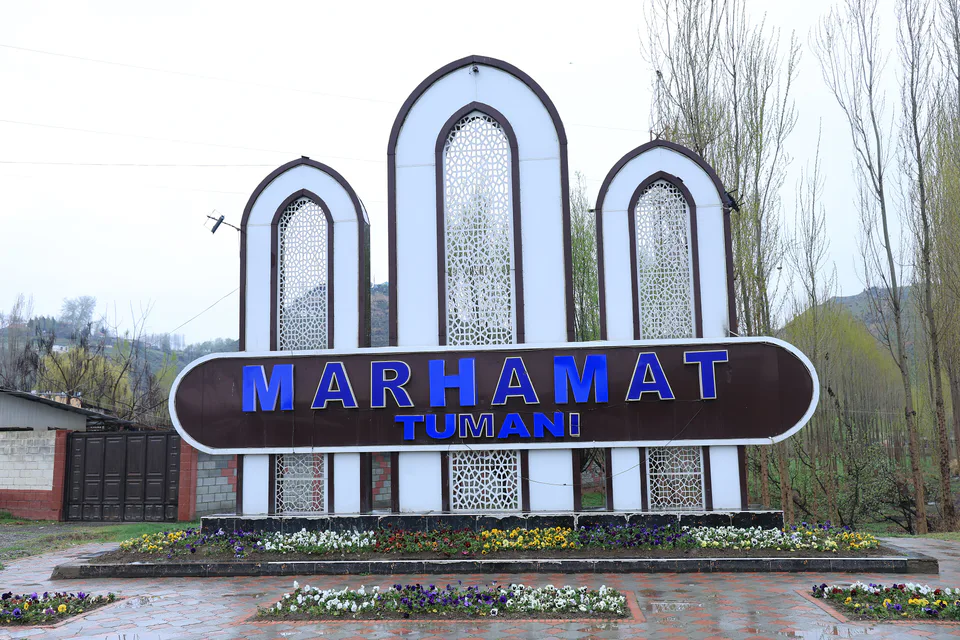
Marhamat District
district · Mingtepa and the Alay foothills
Pakhtaobod District
district · A plateau between the Naryn and the Kara Darya
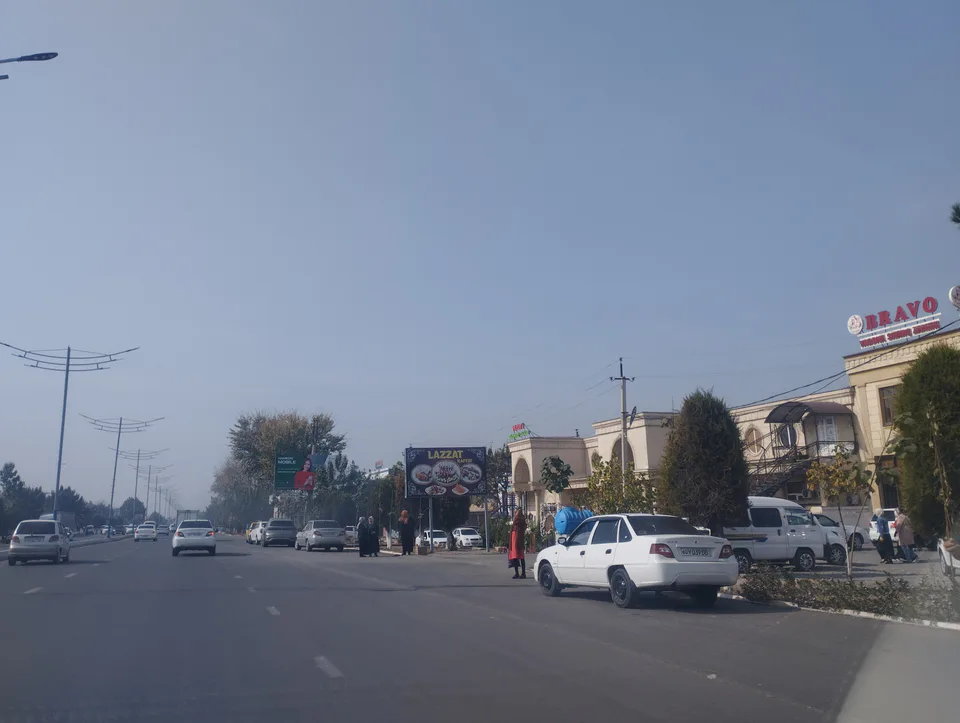
Kurgantepa District
district · Uzbekistan's easternmost district
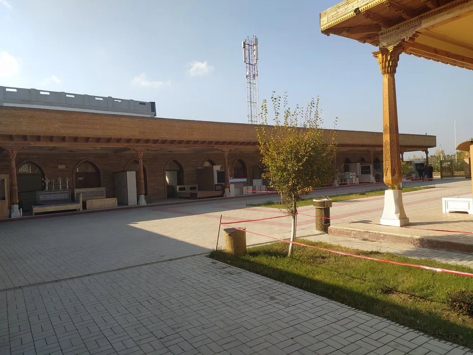
Shahrikhan District
district · A town born with Umar Khan's canal
Ulugnor District
district · Wide fields on the region's western edge
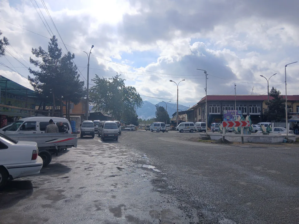
Khojaobod District
district · The Chilustun hills and old shrines