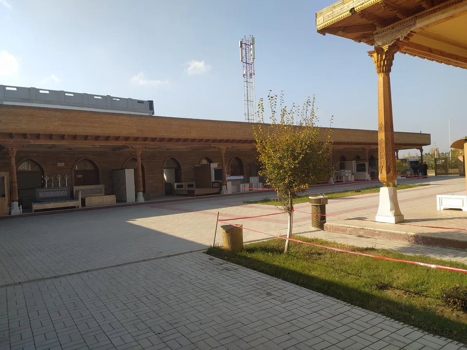
district · Andijan Region
Shahrikhan District
A densely populated district in the west-centre of the region whose capital, Shahrikhan, was founded in 1817 by Umar Khan of Kokand together with its canal.
Photo: Anjaniy · CC0 · Wikimedia Commons
History
The town of Shahrikhan and the Shahrikhansoy canal were begun together in 1817 on the orders of Umar Khan of Kokand. According to the sources, thousands of people forcibly moved from Ura-Tyube were put to work on them, as the poet Dilshodi Barno recorded in her memoirs. The name is usually read as 'the khan's town'; another reading takes the old word 'khon' to mean 'canal', making it 'the town on the canal'.
The district was created on 29 September 1926 as Stalin District, renamed Moscow District in 1961 and given its present name in the early 1990s.
Today
It borders the Buston, Baliqchi, Oltinkul and Asaka districts and Fergana Region's Kuva District to the south. It is one of the most densely populated districts in the region, with more than 1,000 people per square kilometre, and the Shahrikhansoy canal remains the oasis's main water source.
Shahrikhan District
Getting there
Airport, railway station and bus stations — addresses, timetables and the live board.
All transportAndijan Nearest point: Andijan, 25 km
10°fair
- 10° / 9°
- 1.4 m/s
- 78%
- Today10°9°
- Mon19°6°
- Tue19°6°
- Wed17°10°
- Thu15°9°
Weather: MET Norway
Shahrikhan District
Government offices
Khokimiyat, public service centre and other offices: addresses, phones, hours.
All offices (4)Khokimiyat
Shahrixon District Khokimiyat
4 Shahrixon Ave, Shahrixon
Mon–Fri 9:00–18:00
Read morePublic Service Centre
Shahrixon District Public Services Centre
1 Q. Bobojonov St, Shahrixon District
Read moreShahrikhan District
Postal codes
Codes of the post offices in this city or district.
All postcodes (6)
Andijan
city · Babur's birthplace and the valley's eastern gateway
Khanabad
city · A foothill town on the Kara Darya
Andijan District
district · The oases around the regional capital
Asaka District
district · Birthplace of Uzbekistan's car industry
Baliqchi District
district · Plains on the lower Kara Darya
Buston District
district · Formerly Boz: a land of sand hills and canals
Buloqboshi District
district · The youngest district, at the foot of the Chilustun hills
Izboskan District
district · Between the Mailisoy hills and the Kara Darya
Jalaquduq District
district · A Bronze Age town and an Arab general's shrine
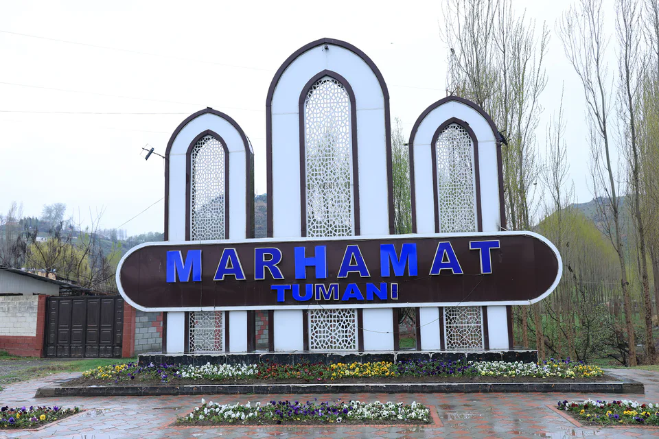
Marhamat District
district · Mingtepa and the Alay foothills
Oltinkul District
district · Crowded oases at the heart of the region
Pakhtaobod District
district · A plateau between the Naryn and the Kara Darya
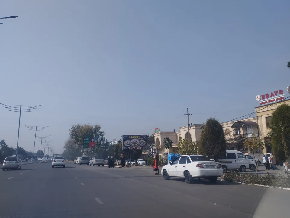
Kurgantepa District
district · Uzbekistan's easternmost district
Ulugnor District
district · Wide fields on the region's western edge
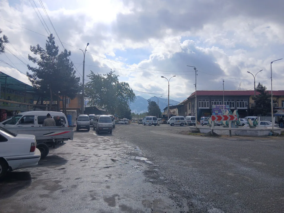
Khojaobod District
district · The Chilustun hills and old shrines