Pilgrimage site · Khojaobod District
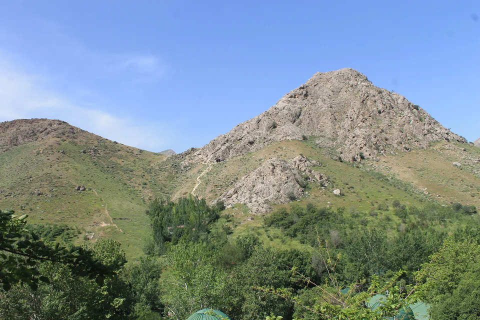
Imom Ota Shrine
An old shrine in the foothills
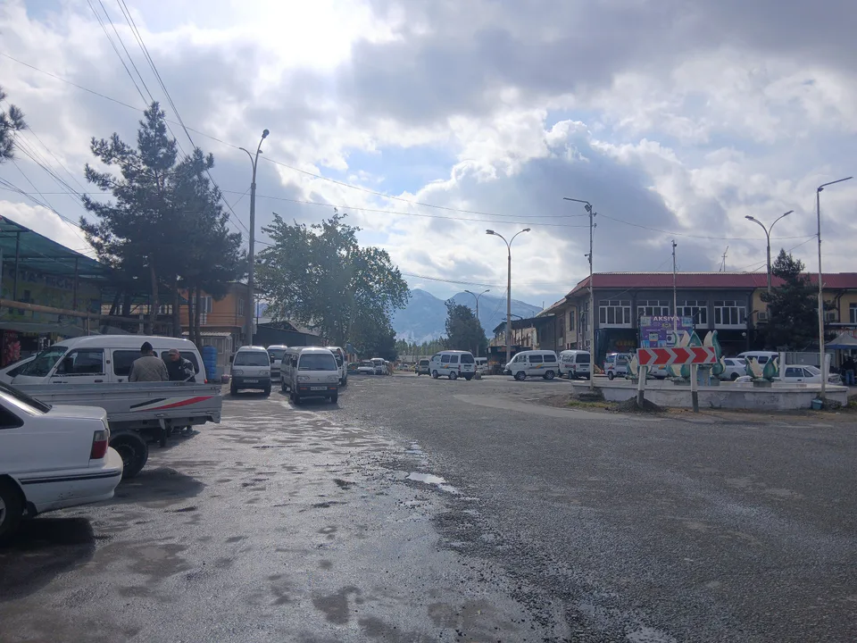
district · Andijan Region
A foothill district in the south-east of the region, with the Chilustun and Kirshangon hills, spurs of the Alay Range and the 18th-century Imom Ota shrine.
Khojaobod District was formed on 29 September 1926; Jalaquduq District was split off from it in 1973 and Buloqboshi District in 1992. Its centre is the town of Khojaobod, and it borders Kyrgyzstan.
The landscape is made up of the Chilustun and Kirshangon hills, spurs of the Alay Range, loess hills and plains. Fields are irrigated from the Shahrikhansoy, Oqburasoy, Aravansoy, Savoy and the South Fergana Canal, and annual rainfall is 300–330 mm. Chukar and quail live in the hills, and carp swim in the streams.
The 18th-century shrine in Imom Ota village in the south is traditionally linked to Muhammad ibn al-Hanafiyya, a son of Caliph Ali, and has been under state protection since 1982. The Manak Ota and Qambar Ota shrines are also revered locally.
Khojaobod District
Khojaobod District
Airport, railway station and bus stations — addresses, timetables and the live board.
All transportAndijan Nearest point: Andijan, 29 km
11°fair
Weather: MET Norway
Khojaobod District
Khokimiyat, public service centre and other offices: addresses, phones, hours.
All offices (4)Khokimiyat
10 Uzun St, Xojaobod
9:00–18:00, lunch 13:00–14:00
Read morePublic Service Centre
11 Uzun St, Xojaobod District
Read moreKhojaobod District
Codes of the post offices in this city or district.
All postcodes (3)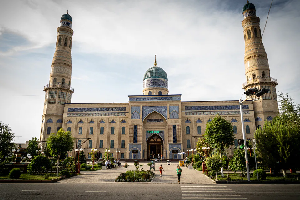
city · Babur's birthplace and the valley's eastern gateway
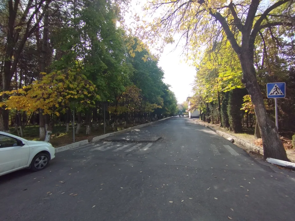
city · A foothill town on the Kara Darya
district · The oases around the regional capital
district · Birthplace of Uzbekistan's car industry
district · Plains on the lower Kara Darya
district · Formerly Boz: a land of sand hills and canals
district · The youngest district, at the foot of the Chilustun hills
district · Between the Mailisoy hills and the Kara Darya
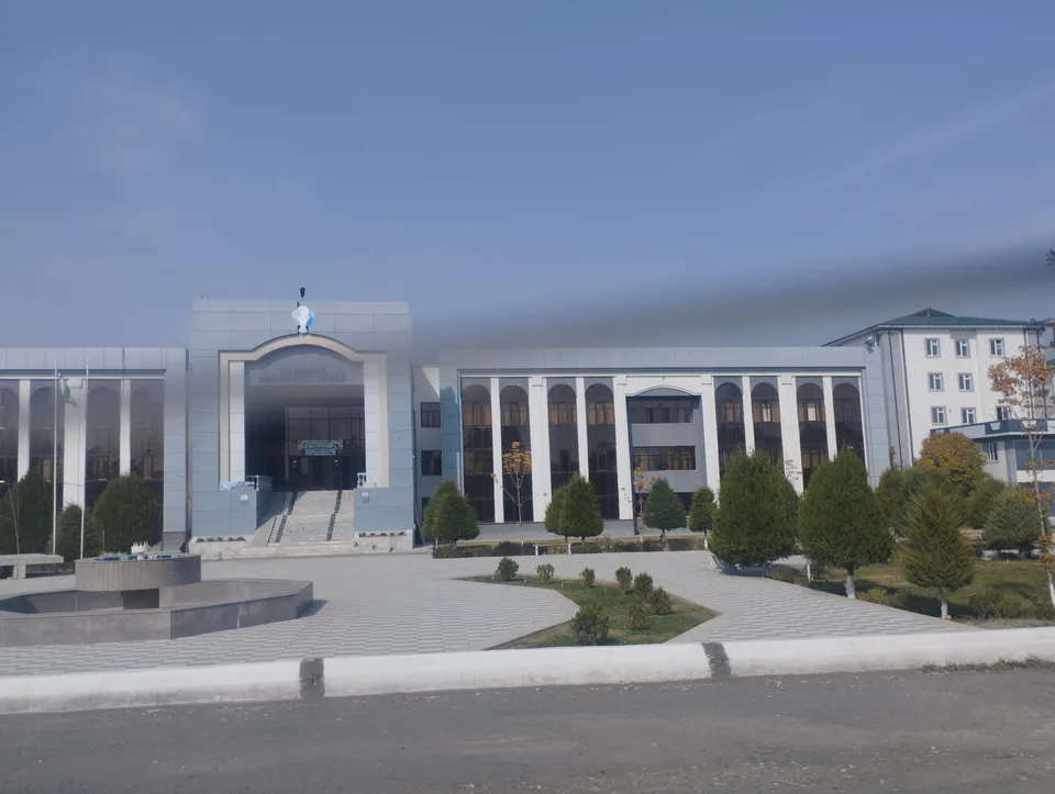
district · A Bronze Age town and an Arab general's shrine
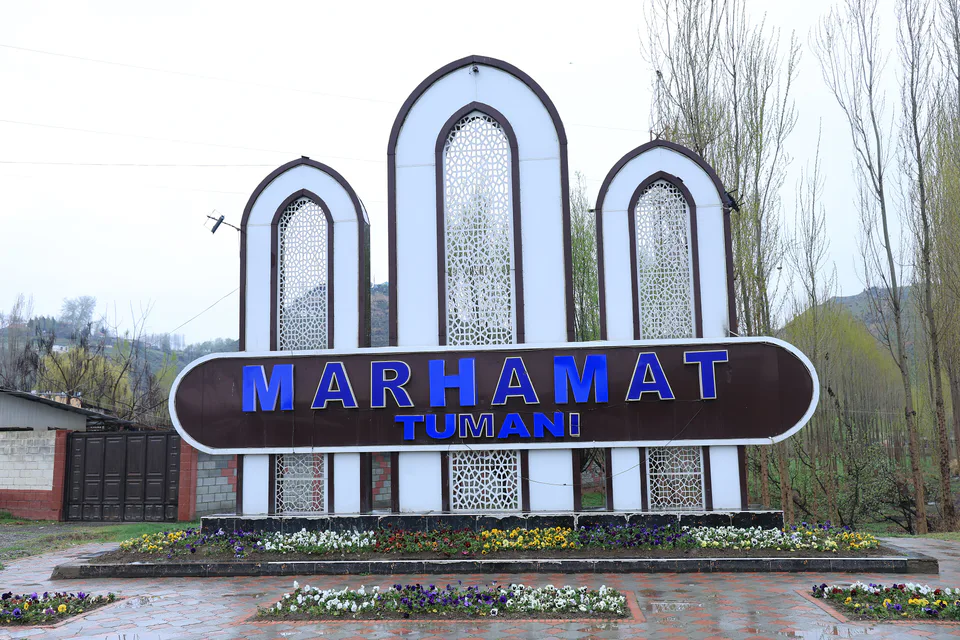
district · Mingtepa and the Alay foothills
district · Crowded oases at the heart of the region
district · A plateau between the Naryn and the Kara Darya
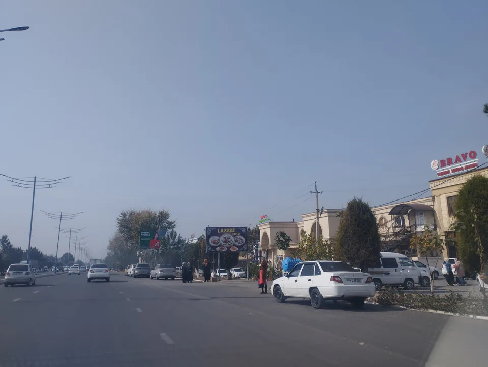
district · Uzbekistan's easternmost district
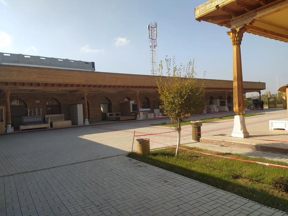
district · A town born with Umar Khan's canal
district · Wide fields on the region's western edge