district · Andijan Region
Ulugnor District
The westernmost and least populated district of Andijan Region: a plain where Namangan and Fergana regions meet, with cotton fields and silk farming.
Overview
The district was created on 26 December 1973 as Komsomolobod District and renamed Ulugnor in 1996. Its centre is the small town of Oqoltin. It borders Baliqchi and Buston districts, Namangan Region's Mingbuloq District to the west and Fergana Region's Yozyovon District to the south.
The land is a plain dotted with low hummocks, with meadow soils that are slightly saline. Rainfall is 195–200 mm a year, the growing season lasts about 235 days, and farms draw water from the Great Andijan Canal.
With around 180 people per square kilometre, it is the most thinly settled district in the region, about a quarter of the regional average. Cotton leads the economy, alongside livestock, silkworm breeding, melons and fish farming.
Ulugnor District
Getting there
Airport, railway station and bus stations — addresses, timetables and the live board.
All transportNamangan Nearest point: Namangan, 26 km
10°clear sky
- 10° / 10°
- 2 m/s
- 73%
- Today10°10°
- Mon19°6°
- Tue19°6°
- Wed16°9°
- Thu15°10°
Weather: MET Norway
Ulugnor District
Government offices
Khokimiyat, public service centre and other offices: addresses, phones, hours.
All offices (4)Khokimiyat
Ulugnor District Khokimiyat
1 Alisher Navoiy St, Oqoltin village
Mon–Sat 9:00–18:00, lunch 13:00–14:00
Read morePublic Service Centre
Ulugnor District Public Services Centre
2 Alisher Navoiy St, Shahriobod mahalla, Ulugnor District
Read more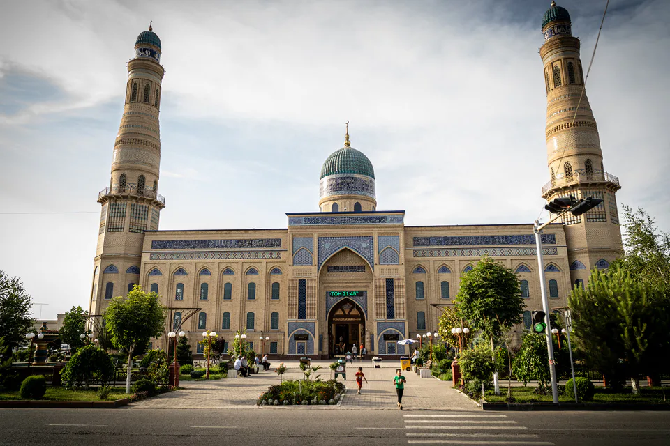
Andijan
city · Babur's birthplace and the valley's eastern gateway
Khanabad
city · A foothill town on the Kara Darya
Andijan District
district · The oases around the regional capital
Asaka District
district · Birthplace of Uzbekistan's car industry
Baliqchi District
district · Plains on the lower Kara Darya
Buston District
district · Formerly Boz: a land of sand hills and canals
Buloqboshi District
district · The youngest district, at the foot of the Chilustun hills
Izboskan District
district · Between the Mailisoy hills and the Kara Darya
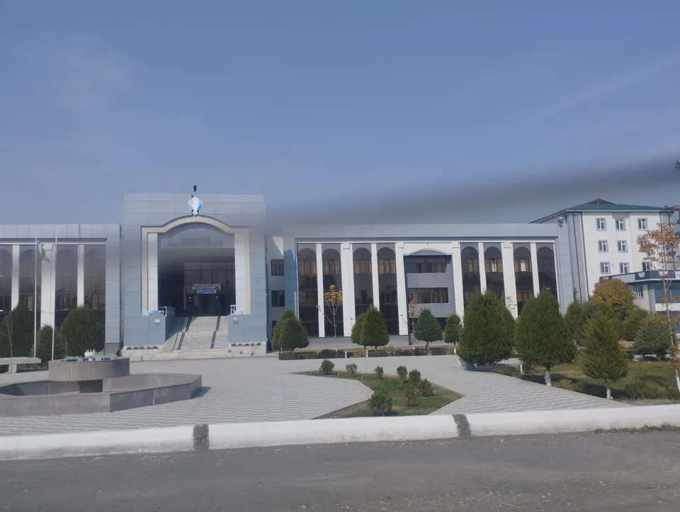
Jalaquduq District
district · A Bronze Age town and an Arab general's shrine
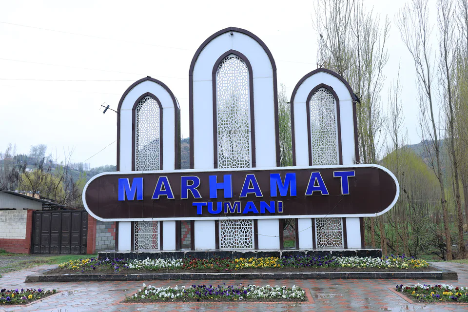
Marhamat District
district · Mingtepa and the Alay foothills
Oltinkul District
district · Crowded oases at the heart of the region
Pakhtaobod District
district · A plateau between the Naryn and the Kara Darya
Kurgantepa District
district · Uzbekistan's easternmost district
Shahrikhan District
district · A town born with Umar Khan's canal
Khojaobod District
district · The Chilustun hills and old shrines