Pilgrimage site · Jalaquduq District
Qutayba ibn Muslim Shrine
A shrine linked to an Arab conqueror
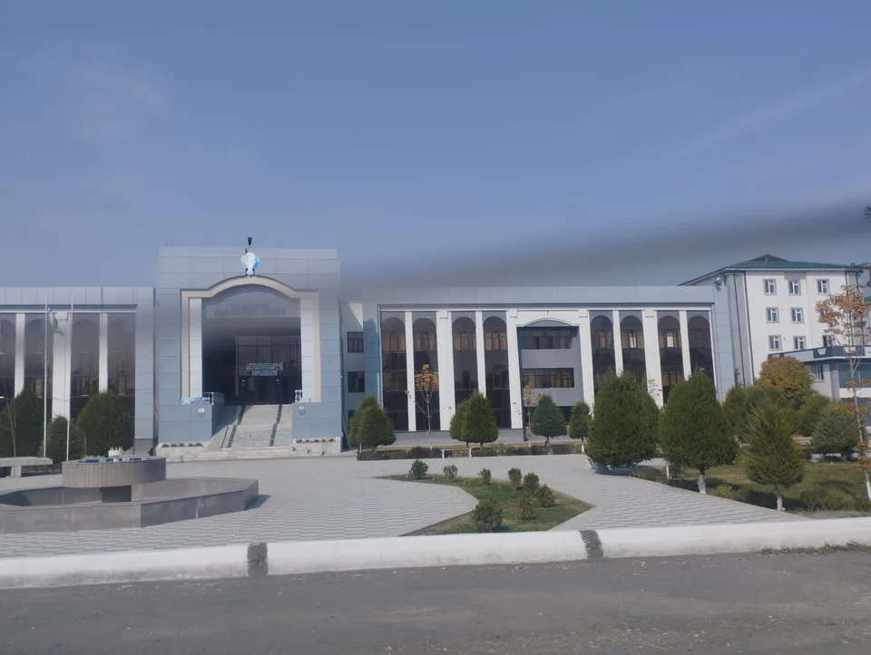
district · Andijan Region
A district in the east of the region on the Kyrgyz border, home to the Bronze Age settlement of Dalvarzin and the shrine of Qutayba ibn Muslim.
Jalaquduq District was formed on 29 September 1926 and was part of Khojaobod District from 1962 to 1973. Its centre is the town of Jalaquduq, formerly Okhunboboyev. It borders four Andijan districts and Kyrgyzstan's Osh and Jalal-Abad regions. The landscape of lowlands, ridges and loess hills is crossed by the Kara Darya, the Andijansoy, the Shahrikhansoy and the Savay canal.
Legend has it that the area was once reed beds, where people caught fish by lowering 'jela' nets into ditches, springs and wells, and that 'jela-quduq' eventually became Jalaquduq.
The Dalvarzin settlement near Oyim village dates from the 12th–7th centuries BC: over 25 hectares, walls separated the living quarters, a livestock enclosure and a citadel. Excavations turned up pottery, bronze-casting moulds, stone grinders and traces of wheat, barley and millet. A shrine in Kilichmazor village is traditionally linked to Qutayba ibn Muslim, the Arab general who conquered Transoxiana in the early 8th century.
Jalaquduq District
Jalaquduq District
Airport, railway station and bus stations — addresses, timetables and the live board.
All transportAndijan Nearest point: Andijan, 25 km
9°fair
Weather: MET Norway
Jalaquduq District
Khokimiyat, public service centre and other offices: addresses, phones, hours.
All offices (4)Khokimiyat
62 Uzbekistan St, Jalaquduq
9:00–18:00
Read morePublic Service Centre
5 Navoiy St, Jalaquduq District
Read moreJalaquduq District
Codes of the post offices in this city or district.
All postcodes (6)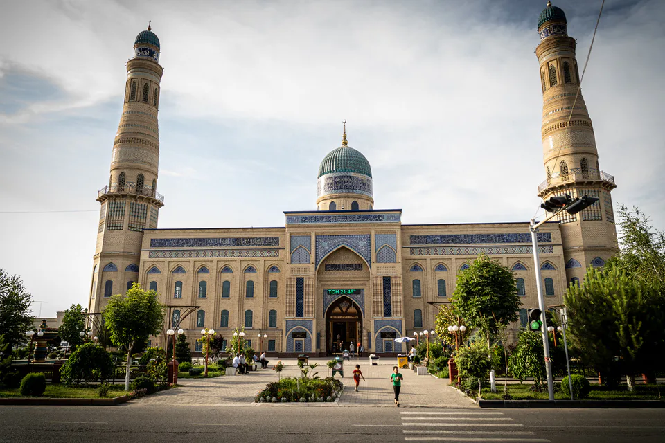
city · Babur's birthplace and the valley's eastern gateway
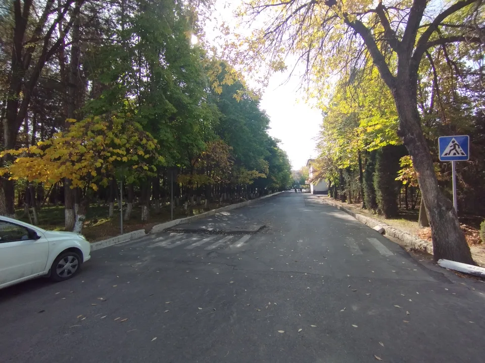
city · A foothill town on the Kara Darya
district · The oases around the regional capital
district · Birthplace of Uzbekistan's car industry
district · Plains on the lower Kara Darya
district · Formerly Boz: a land of sand hills and canals
district · The youngest district, at the foot of the Chilustun hills
district · Between the Mailisoy hills and the Kara Darya
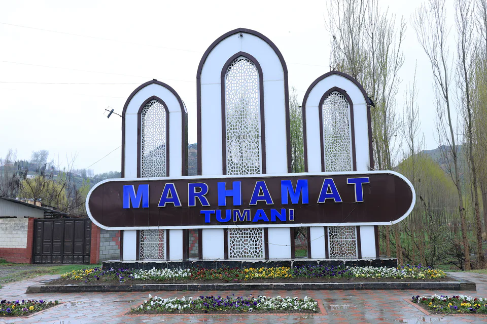
district · Mingtepa and the Alay foothills
district · Crowded oases at the heart of the region
district · A plateau between the Naryn and the Kara Darya
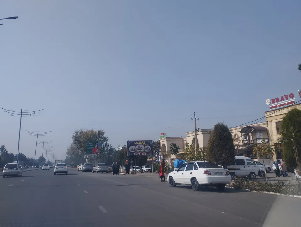
district · Uzbekistan's easternmost district
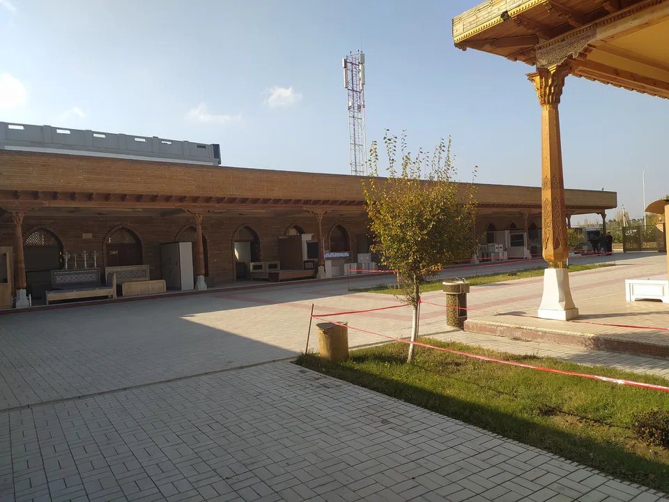
district · A town born with Umar Khan's canal
district · Wide fields on the region's western edge
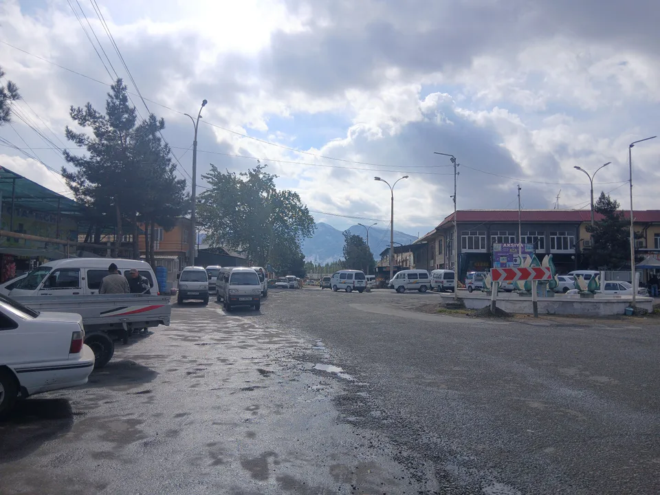
district · The Chilustun hills and old shrines