Must see
Archaeology · Marhamat District
Mingtepa (ancient Ershi?)
Possibly the capital of ancient Dayuan
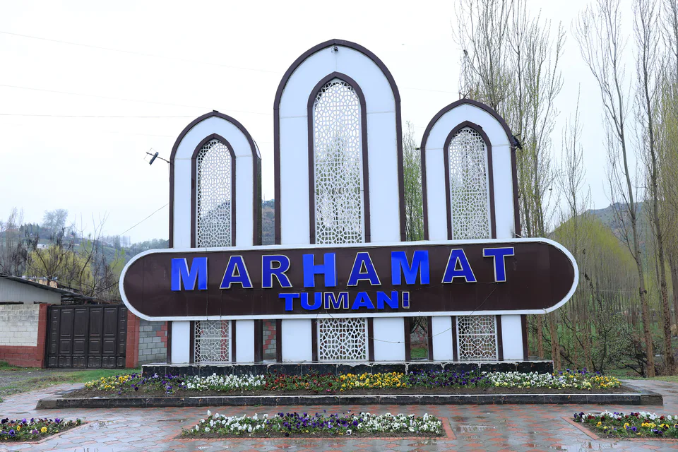
district · Andijan Region
A foothill district in the south of the region, with the ruins of Mingtepa, possibly the capital of ancient Dayuan, the slopes of Ulugtog and orchards.
Marhamat District was created in 1926. In 1932–1933 its centre, the village of Russkoye Selo, was renamed Marhamat; the district was later merged with its neighbours several times before being re-formed on 7 December 1970. It borders the Asaka and Buloqboshi districts, Kyrgyzstan's Aravan District and Fergana Region's Kuva District.
The north and north-east are flat, while the rest climbs into the foothills of the Alay Range, where 1,500-metre Ulugtog and the Tuyamoyin hills enclose the Oyim–Marhamat–Khojaobod basin. Fields are watered by the South Fergana Canal and the Aravansoy.
On the eastern edge of Marhamat lies Mingtepa, one of the largest ancient city sites in the Fergana Valley, which many archaeologists identify with Ershi, the Dayuan capital of the Chinese chronicles. Other archaeological sites include Alitepa and Kashkartepa. The People's Poet of Uzbekistan Muhammad Yusuf (1954–2001) was born in the district.
Marhamat District
Marhamat District
Airport, railway station and bus stations — addresses, timetables and the live board.
All transportAndijan Nearest point: Andijan, 30 km
10°fair
Weather: MET Norway
Marhamat District
Khokimiyat, public service centre and other offices: addresses, phones, hours.
All offices (4)Khokimiyat
42 Bobur Ave, Marhamat
Mon–Fri 9:00–18:00
Read morePublic Service Centre
117 Mustaqillik St, Marhamat District
Read moreMarhamat District
Codes of the post offices in this city or district.
All postcodes (5)
city · Babur's birthplace and the valley's eastern gateway
city · A foothill town on the Kara Darya
district · The oases around the regional capital
district · Birthplace of Uzbekistan's car industry
district · Plains on the lower Kara Darya
district · Formerly Boz: a land of sand hills and canals
district · The youngest district, at the foot of the Chilustun hills
district · Between the Mailisoy hills and the Kara Darya
district · A Bronze Age town and an Arab general's shrine
district · Crowded oases at the heart of the region
district · A plateau between the Naryn and the Kara Darya
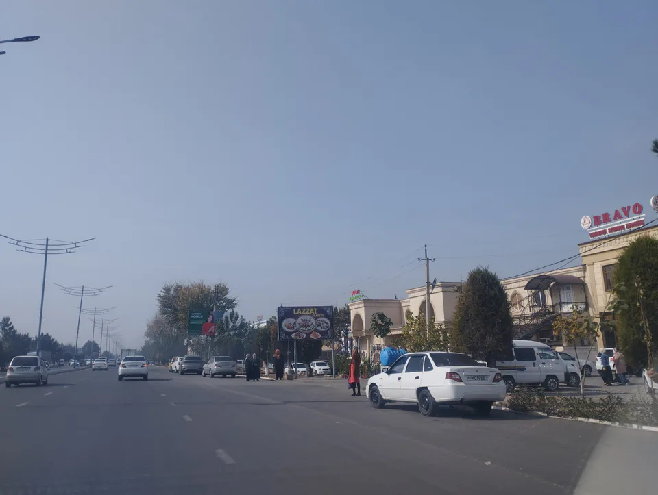
district · Uzbekistan's easternmost district
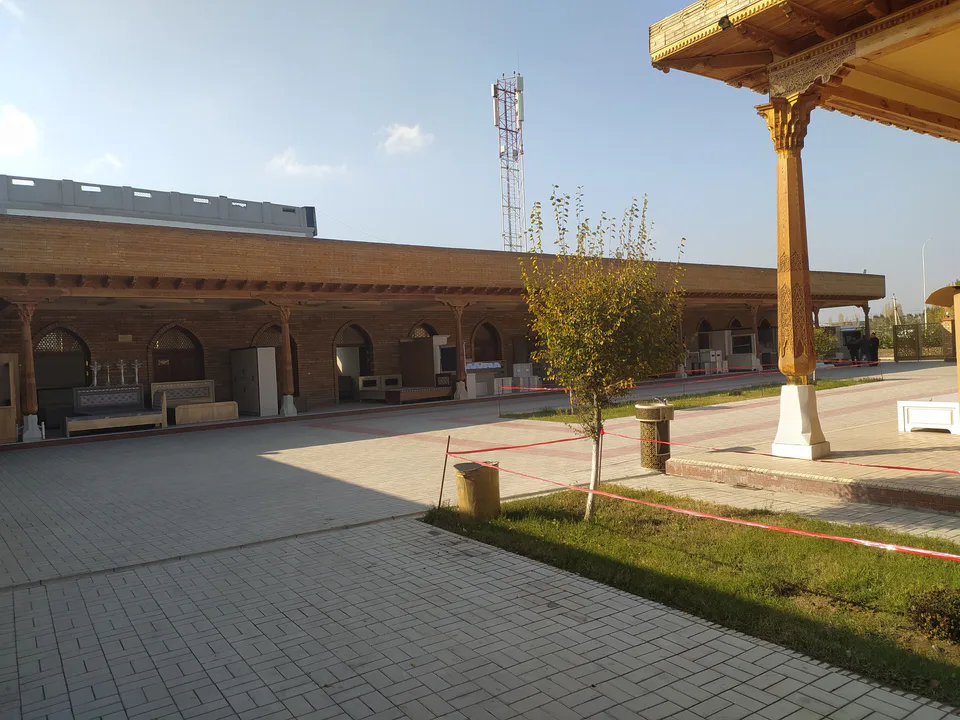
district · A town born with Umar Khan's canal
district · Wide fields on the region's western edge
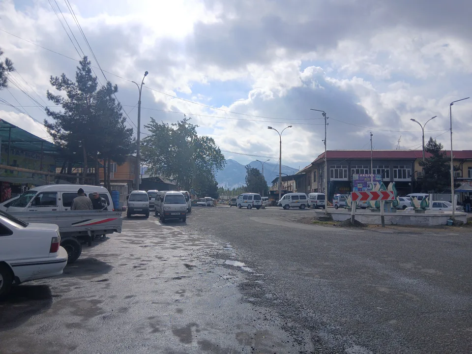
district · The Chilustun hills and old shrines