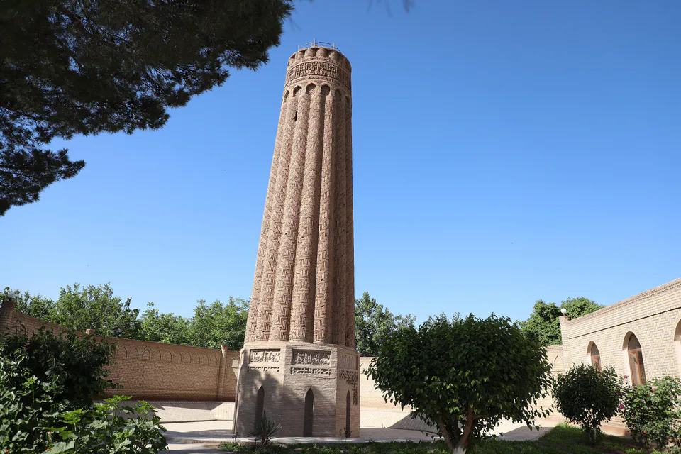
Minaret · Jarqo‘rg‘on District
Jarqo‘rg‘on Minaret
A Seljuk minaret with a fluted shaft
district · Surkhandarya Region
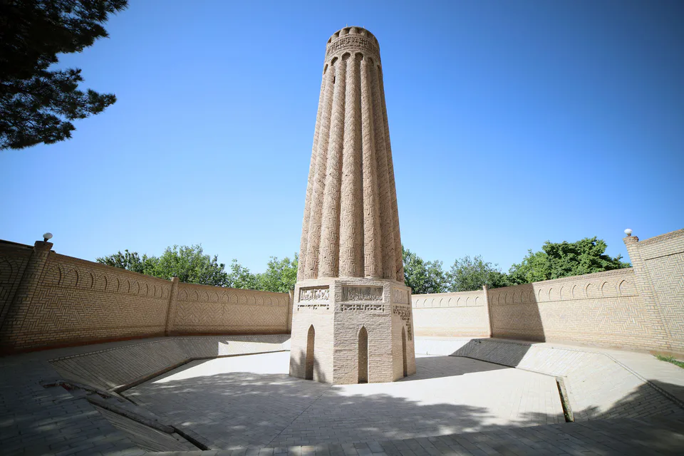
A district along the Surkhandarya valley with the Jarqo‘rg‘on minaret of 1108–1109, dozens of ancient mounds and oil fields.
Jarqo‘rg‘on District was created on 29 September 1926, merged with Sho‘rchi in 1962 and re-established on 31 December 1964. It borders Qiziriq and Bandixon to the north, Qumqo‘rg‘on and Tajikistan to the east and Termez and Angor districts to the south-west. It covers 1,162 km² and had 249,000 inhabitants on 1 January 2026; the centre is Jarqo‘rg‘on town, and the district also includes the settlement of Kakaydi.
The land is mostly plain, sloping south along the Surkhandarya valley, with short mild winters and little rain. Oil is extracted here, and irrigated fields grow cotton and grain.
The Jarqo‘rg‘on minaret in Minor village was built under Sultan Sanjar in 1108–1109, and its fluted shaft is a rarity in Central Asian architecture. Archaeologists have recorded dozens of ancient mounds in the district, settlements that preserve the thousand-year farming history of the Surkhan oasis.
Jarqo‘rg‘on District
Jarqo‘rg‘on District
Airport, railway station and bus stations — addresses, timetables and the live board.
All transportTermez Nearest point: Termez, 34 km
16°partly cloudy
Weather: MET Norway
Jarqo‘rg‘on District
Khokimiyat, public service centre and other offices: addresses, phones, hours.
All offices (3)Khokimiyat
13 Uzbekistan St, Jarkurgan District
8:00–17:00
Read morePublic Service Centre
2A Makhtumquli St, Yangiobod Mahalla, Jarkurgan District
Read moreJarqo‘rg‘on District
Codes of the post offices in this city or district.
All postcodes (11)
city · A 2,500-year-old border city on the Amu Darya
district · Home of Zartepa, a Kushan town near Termez
district · A district created twice, named after an ancient “khan’s dam”
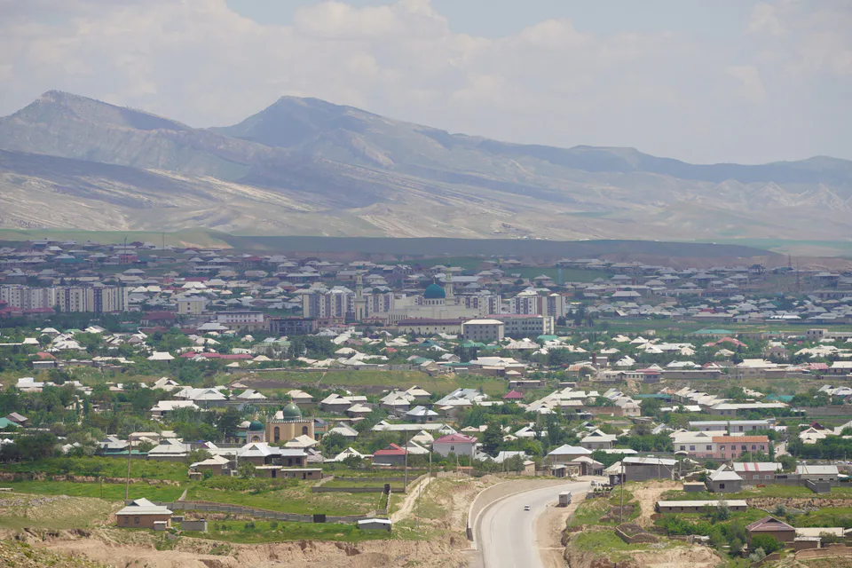
district · A living culture recognised by UNESCO, among ancient mountains
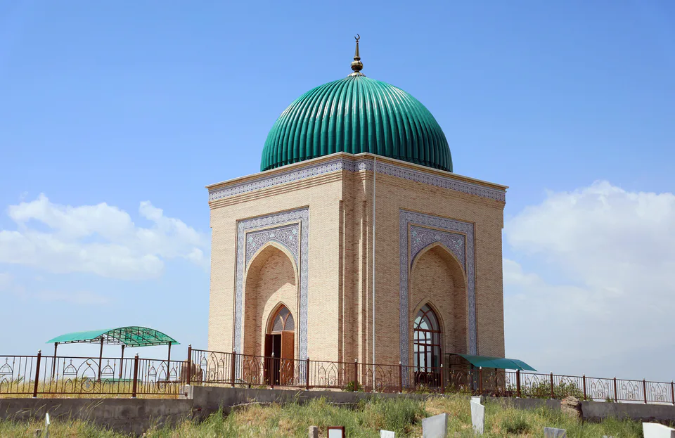
district · The heart of ancient Chaghaniyan and the region’s most populous district
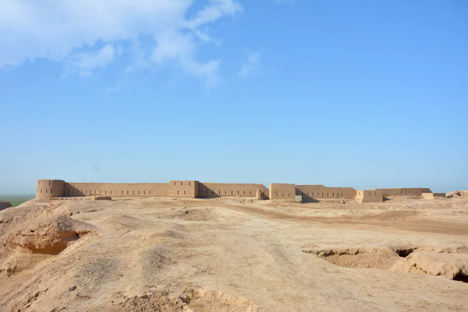
district · Kampir Tepe on the Amu Darya and Bronze Age Sapallitepa
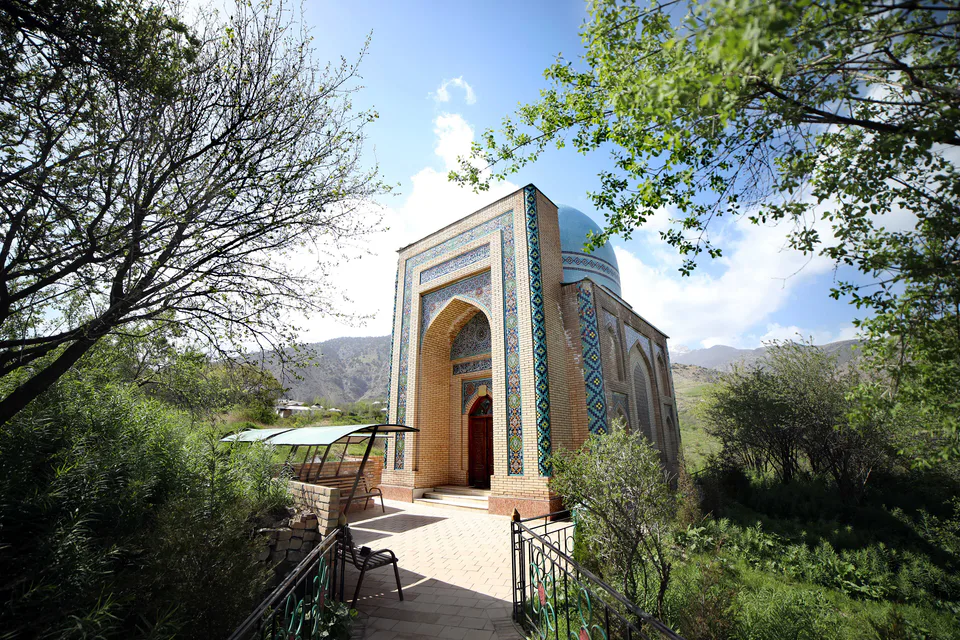
district · Vineyards and the shrine of Khojaipok Ota
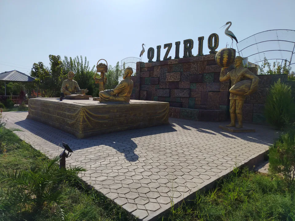
district · One of the region’s hottest steppe plains
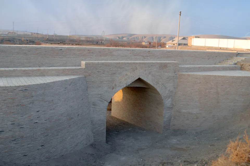
district · The region’s centre and the end of the Tashguzar–Boysun–Qumqo‘rg‘on railway
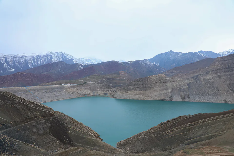
district · Hisor peaks, Sangardak waterfall and the Topalang valley
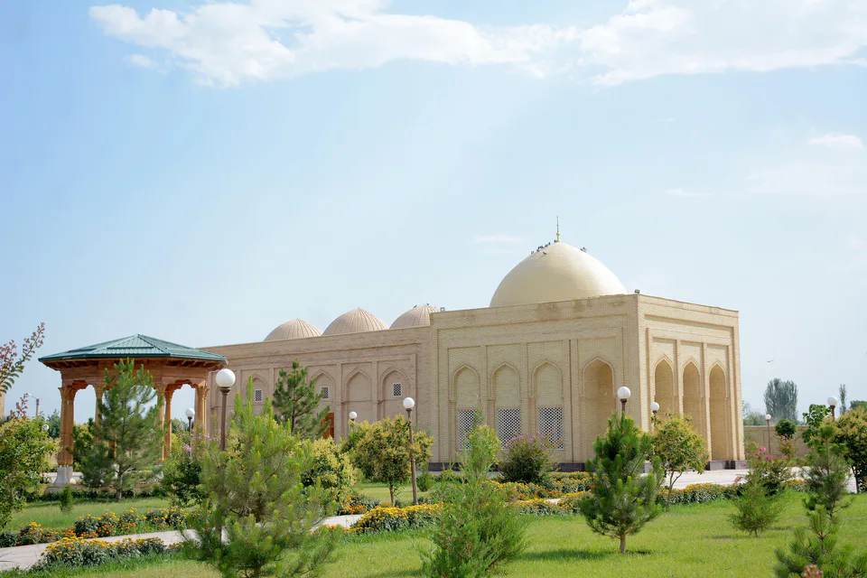
district · The Kohitang mountains, Zarautsoy rock art and Bronze Age Djarkutan
district · Home of Dalverzin Tepe and its gold hoard
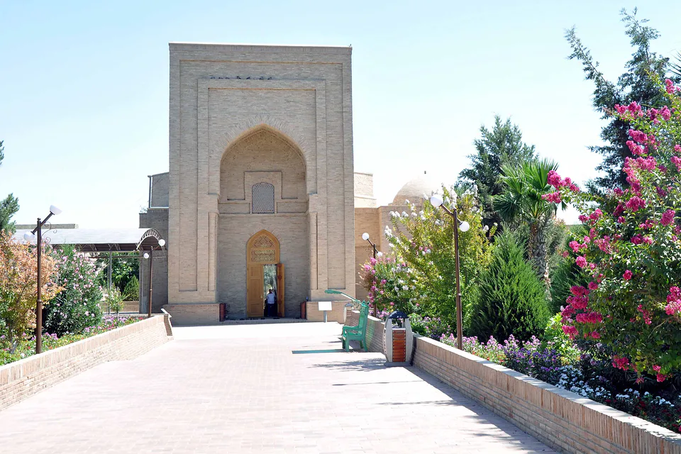
district · Where two rivers meet: Old Termez and its Buddhist monasteries
district · Bobotog country, bordered by Tajikistan on three sides