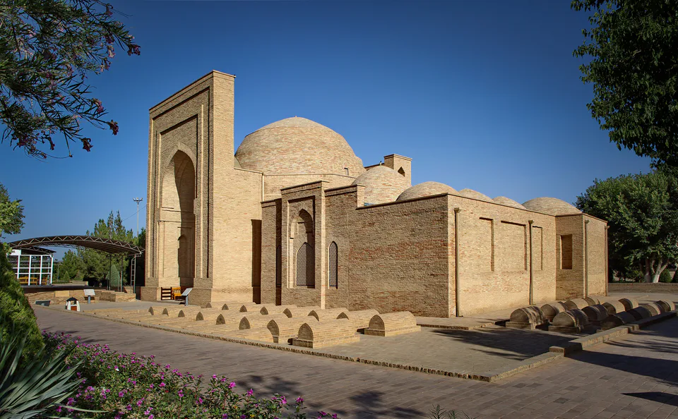
Pilgrimage site · Termez District
Al-Hakim al-Tirmidhi Memorial Complex
The shrine of “Termiz Ota”, the city’s patron saint
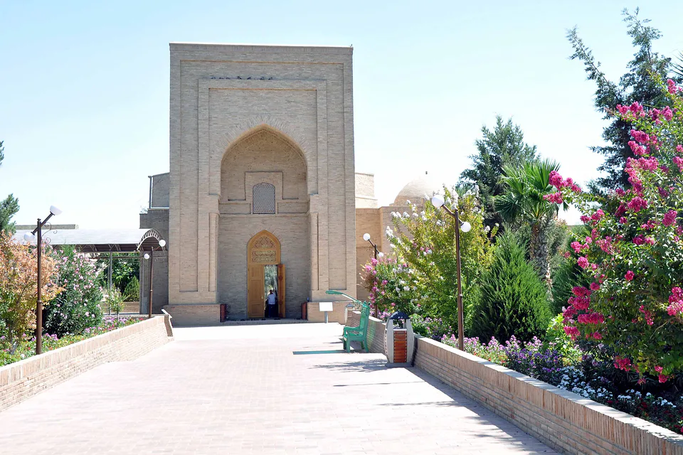
district · Surkhandarya Region
Uzbekistan’s southernmost district, at the confluence of the Amu Darya and Surkhandarya on the Afghan and Tajik borders, with the ruins of Old Termez and Aral-Paygambar island.
Termez District was created on 29 September 1926 and lies at the country’s southern tip around the city of Termez. It borders Afghanistan to the south and west, Tajikistan to the east, Angor and Jarqo‘rg‘on to the north and Muzrabot to the north-west. It covers 834 km² and had 89,700 inhabitants on 1 January 2026; the centre is Uchqizil.
The eastern part is taken up by the Toyintog and Kaykitog hills, outliers of the Hisor Range, with the Khotinrabot and Qiziriq deserts and the Kattaqum sands used as pasture. The south and west cover the confluence of the Surkhandarya with the Amu Darya and the river banks.
The district contains the ruins of Old Termez, the al-Hakim al-Tirmidhi complex, the Kara Tepe and Fayaz Tepe Buddhist monasteries and the Zurmala stupa. Aral-Paygambar island in the Amu Darya holds the Zulkifl Mausoleum and the riverine section of the Surkhan reserve, but it lies in the border zone and is closed to visitors.
Termez District
Pilgrimage site · Termez District
The shrine of “Termiz Ota”, the city’s patron saint
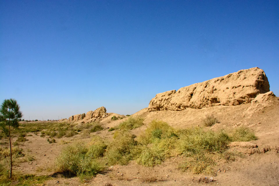
Archaeology · Termez District
The ruins of a 2,500-year-old city at an Amu Darya crossing
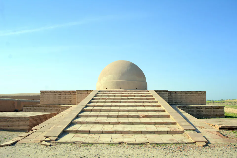
Archaeology · Termez District
A Buddha found by a shepherd and a Kushan monastery
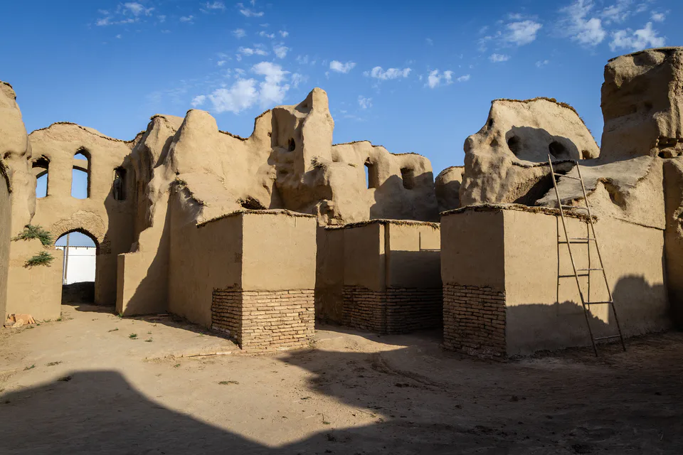
Fortress · Termez District
A Samanid building whose purpose remains a mystery
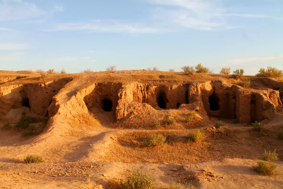
Archaeology · Termez District
Buddhist cave monasteries cut into the hills
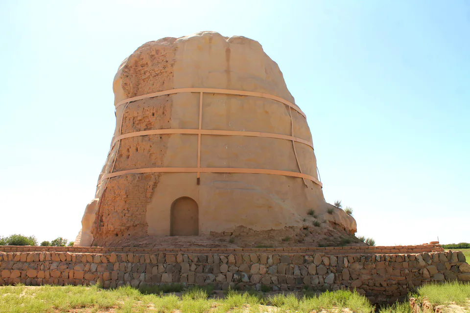
Archaeology · Termez District
One of the oldest standing structures in Uzbekistan
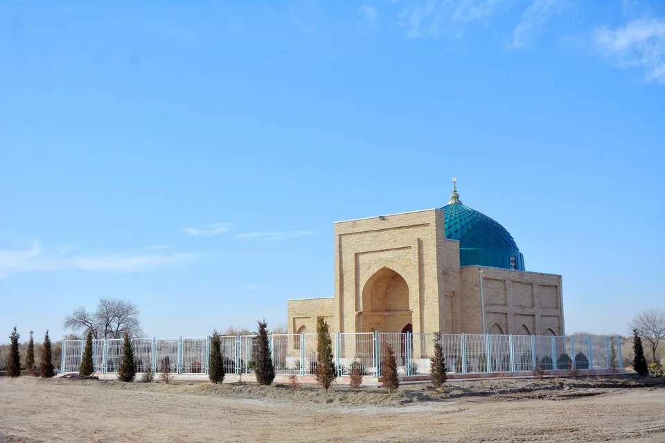
Pilgrimage site · Termez District
The shrine that named the Prophet’s Island
Termez District
Airport, railway station and bus stations — addresses, timetables and the live board.
All transportTermez Nearest point: Termez, 14 km
14°fair
Weather: MET Norway
Termez District
Checked hotels and places to eat — with addresses, phone numbers, opening hours and price levels.
Termez District
Khokimiyat, public service centre and other offices: addresses, phones, hours.
All offices (3)Khokimiyat
1 At-Termizi St, Uchkizil, Termez District
Mon–Fri 9:00–18:00, lunch 13:00–14:00
Read morePublic Service Centre
1 At-Termizi St, Termez District
Read more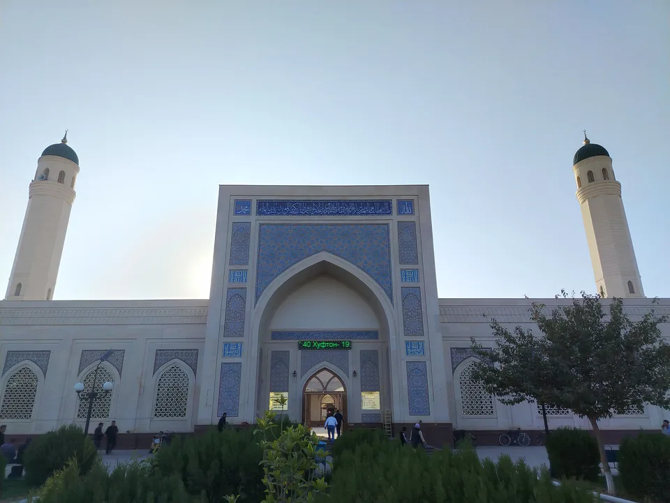
city · A 2,500-year-old border city on the Amu Darya
district · Home of Zartepa, a Kushan town near Termez
district · A district created twice, named after an ancient “khan’s dam”
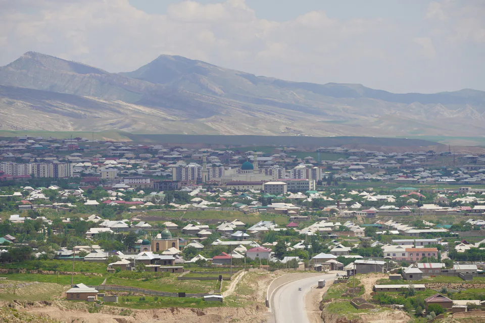
district · A living culture recognised by UNESCO, among ancient mountains
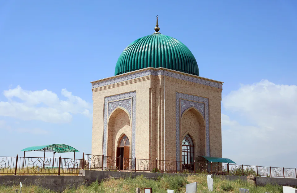
district · The heart of ancient Chaghaniyan and the region’s most populous district
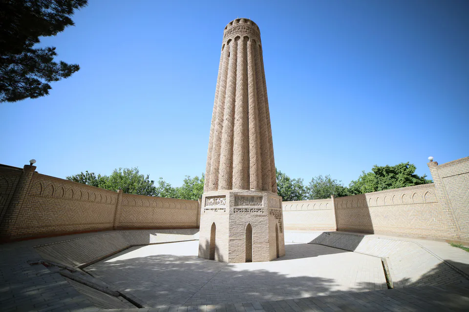
district · A Seljuk minaret and the plains of the Surkhan valley
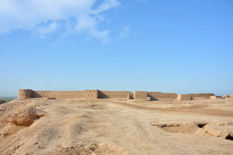
district · Kampir Tepe on the Amu Darya and Bronze Age Sapallitepa
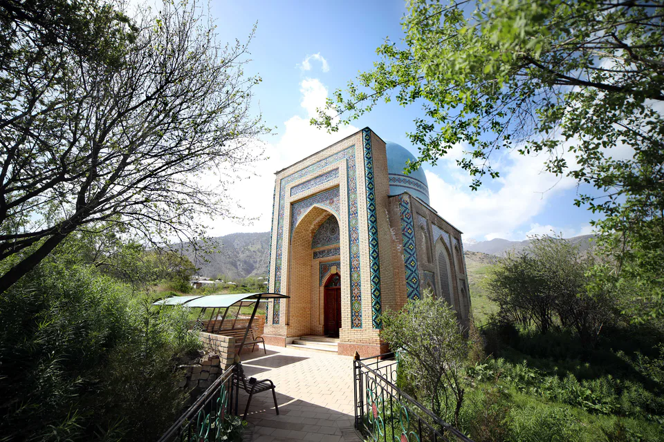
district · Vineyards and the shrine of Khojaipok Ota
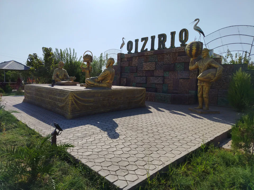
district · One of the region’s hottest steppe plains
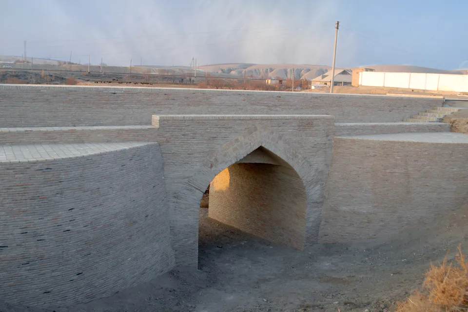
district · The region’s centre and the end of the Tashguzar–Boysun–Qumqo‘rg‘on railway
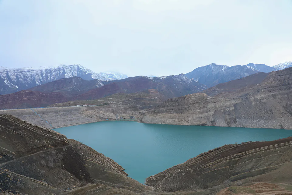
district · Hisor peaks, Sangardak waterfall and the Topalang valley
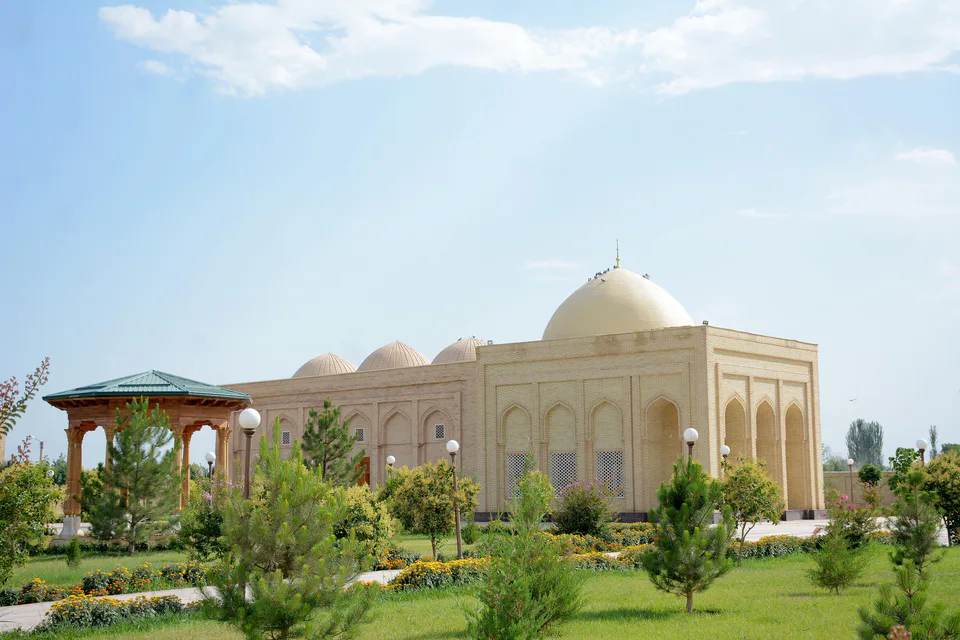
district · The Kohitang mountains, Zarautsoy rock art and Bronze Age Djarkutan
district · Home of Dalverzin Tepe and its gold hoard
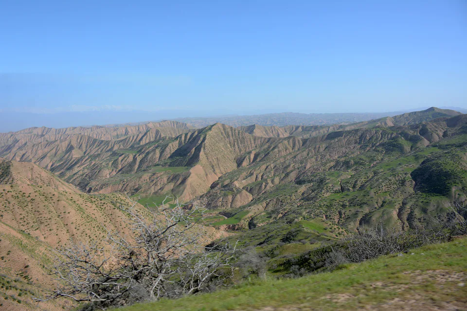
district · Bobotog country, bordered by Tajikistan on three sides