Archaeology · Sho‘rchi District
Dalverzin Tepe
The Kushan city that yielded Central Asia’s largest gold hoard
district · Surkhandarya Region
A densely populated district in the middle Surkhandarya valley, with the Kushan city of Dalverzin Tepe and riverside plains and hills.
Sho‘rchi District was created on 9 February 1935. It borders Oltinsoy and Denov to the north, Qumqo‘rg‘on to the south and west and Uzun to the east. It covers 722 km² and had 239,600 inhabitants on 1 January 2026; the centre is Sho‘rchi town, and the district also includes the Elbayon station settlement.
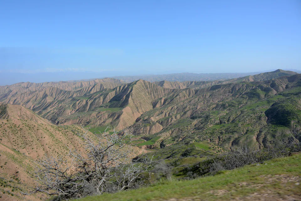
The land is mostly plain and low hills at 400–700 m. The Surkhandarya runs 25 km through the middle of the district, and the riverside tugai woodland was drained and turned into farmland in the last century.
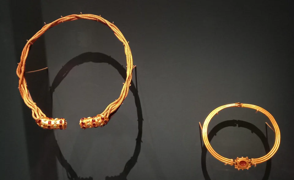
The district’s most famous site is Dalverzin Tepe, a city founded in the 3rd century BC that flourished under the Kushans. In 1972 it yielded a gold hoard of 115 objects weighing 36 kg in all, the largest ever found in Central Asia. Buddhist temples, shrines to local goddesses and a potters’ quarter have also been excavated.
Sho‘rchi District
Sho‘rchi District
Airport, railway station and bus stations — addresses, timetables and the live board.
All transportBoysun Nearest point: Boysun, 57 km
11°clear sky
Weather: MET Norway
Sho‘rchi District
Khokimiyat, public service centre and other offices: addresses, phones, hours.
All offices (3)Khokimiyat
72 Mustaqillik St, Shurchi District
Read morePublic Service Centre
74 Mustaqillik St, Shurchi District
Read moreSho‘rchi District
Codes of the post offices in this city or district.
All postcodes (10)
city · A 2,500-year-old border city on the Amu Darya
district · Home of Zartepa, a Kushan town near Termez
district · A district created twice, named after an ancient “khan’s dam”
district · A living culture recognised by UNESCO, among ancient mountains
district · The heart of ancient Chaghaniyan and the region’s most populous district
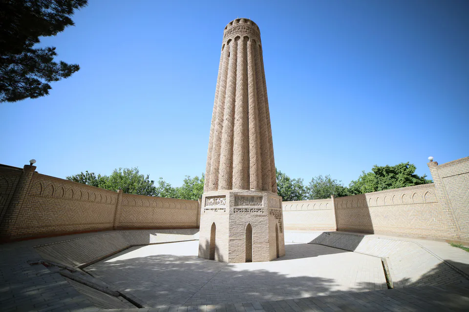
district · A Seljuk minaret and the plains of the Surkhan valley
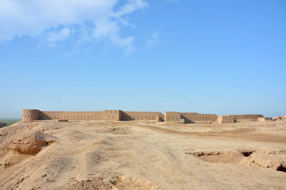
district · Kampir Tepe on the Amu Darya and Bronze Age Sapallitepa
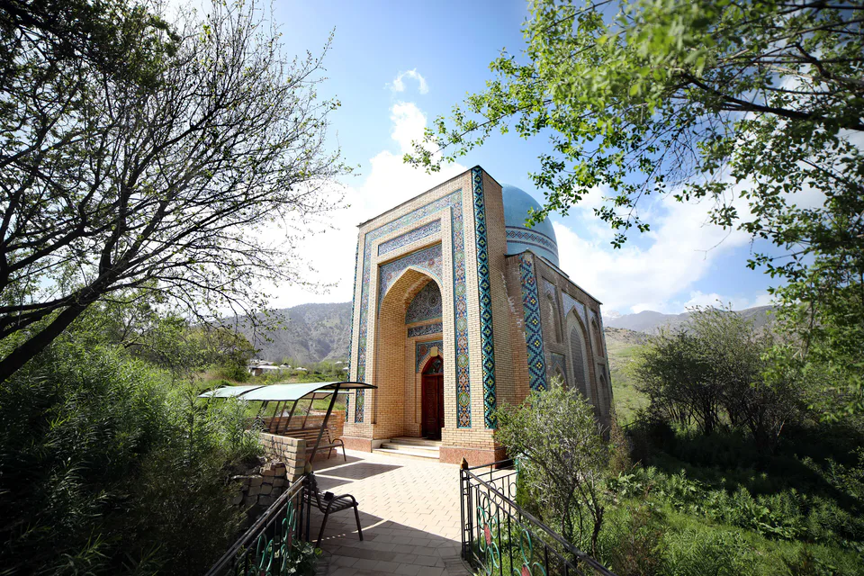
district · Vineyards and the shrine of Khojaipok Ota
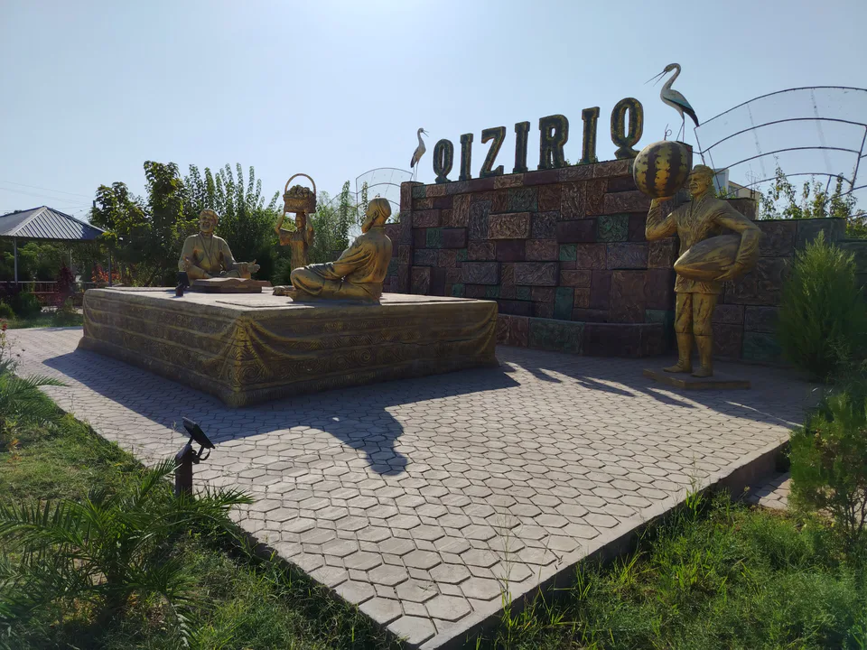
district · One of the region’s hottest steppe plains
district · The region’s centre and the end of the Tashguzar–Boysun–Qumqo‘rg‘on railway
district · Hisor peaks, Sangardak waterfall and the Topalang valley
district · The Kohitang mountains, Zarautsoy rock art and Bronze Age Djarkutan
district · Where two rivers meet: Old Termez and its Buddhist monasteries
district · Bobotog country, bordered by Tajikistan on three sides