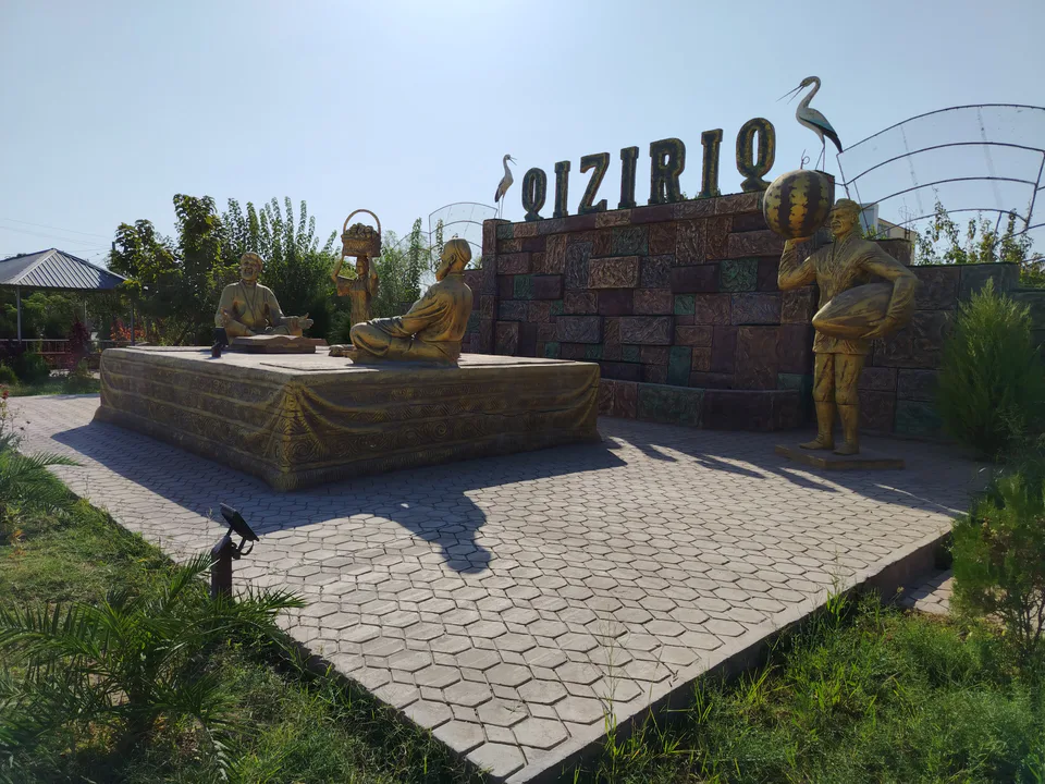
district · Surkhandarya Region
Qiziriq District
A small district created in 1975, with a dry subtropical climate, desert and foothills, and deposits of salt and sulphur; its centre is Sariq.
Photo: Bekipediya · CC0 · Wikimedia Commons
Setting and nature
Qiziriq District was created on 6 March 1975. It borders Sherobod to the west, Angor to the south, Bandixon to the north, Jarqo‘rg‘on to the east, Qumqo‘rg‘on to the north-east and Muzrabot to the north-west. It covers 383 km² and had 129,600 inhabitants on 1 January 2026; the centre is Sariq.
The land is a mix of plains, foothills and piedmont. The dry subtropical climate brings an annual mean of 18 °C, a July average of 32.1 °C, highs of up to 48 °C and only about 150 mm of rain a year. Deposits include rock salt, sulphur, oil shale and building materials.
History and economy
From 2010 to 2019 the land of the abolished Bandixon District belonged to Qiziriq; after Bandixon was restored in 2019 the boundaries were redrawn. Irrigated fields grow cotton, grain and vegetables, livestock graze the steppe, and the district has local shrines such as Chizg‘al Ota.
Sources (3)
Qiziriq District
Getting there
Airport, railway station and bus stations — addresses, timetables and the live board.
All transportTermez Nearest point: Termez, 50 km
15°partly cloudy
- 15° / 13°
- 3.1 m/s
- 49%
- Today15°13°
- Mon22°9°
- Tue22°10°
- Wed18°10°
- Thu19°9°
Weather: MET Norway
Qiziriq District
Government offices
Khokimiyat, public service centre and other offices: addresses, phones, hours.
All offices (3)Khokimiyat
Kizirik District Khokimiyat
13 Ibn Sino St, Kizirik District
Read morePublic Service Centre
Kizirik District Public Services Centre
6 Ibn Sino St, Shodlik Mahalla, Kizirik District
Read more
Termez City
city · A 2,500-year-old border city on the Amu Darya
Angor District
district · Home of Zartepa, a Kushan town near Termez
Bandixon District
district · A district created twice, named after an ancient “khan’s dam”
Boysun District
district · A living culture recognised by UNESCO, among ancient mountains
Denov District
district · The heart of ancient Chaghaniyan and the region’s most populous district
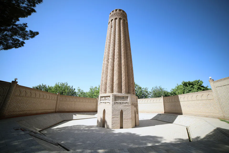
Jarqo‘rg‘on District
district · A Seljuk minaret and the plains of the Surkhan valley
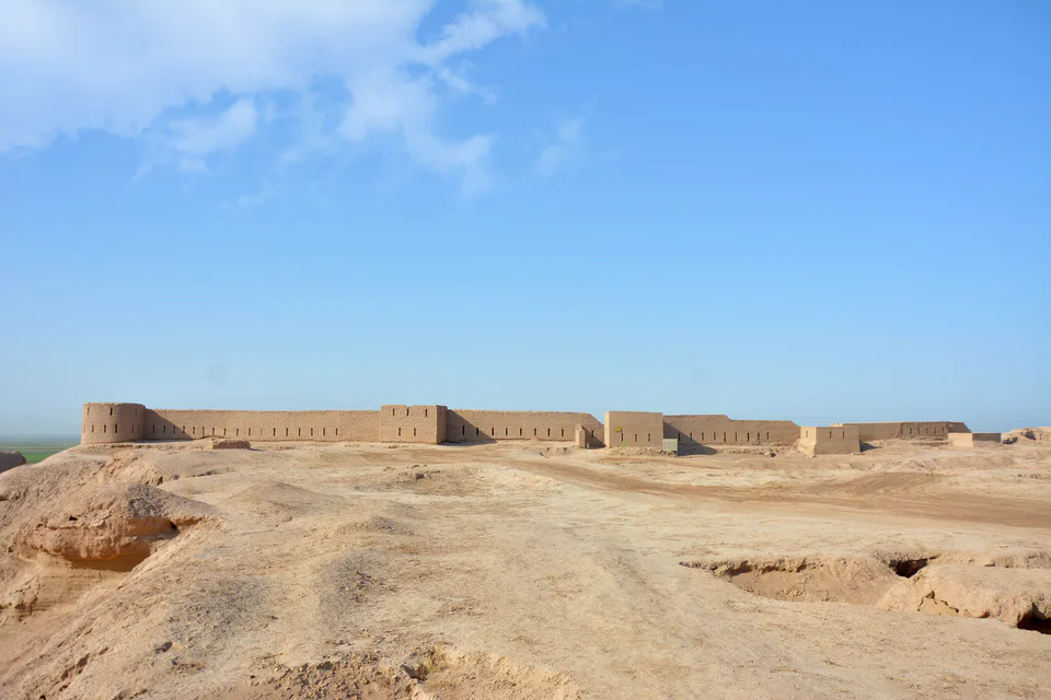
Muzrabot District
district · Kampir Tepe on the Amu Darya and Bronze Age Sapallitepa
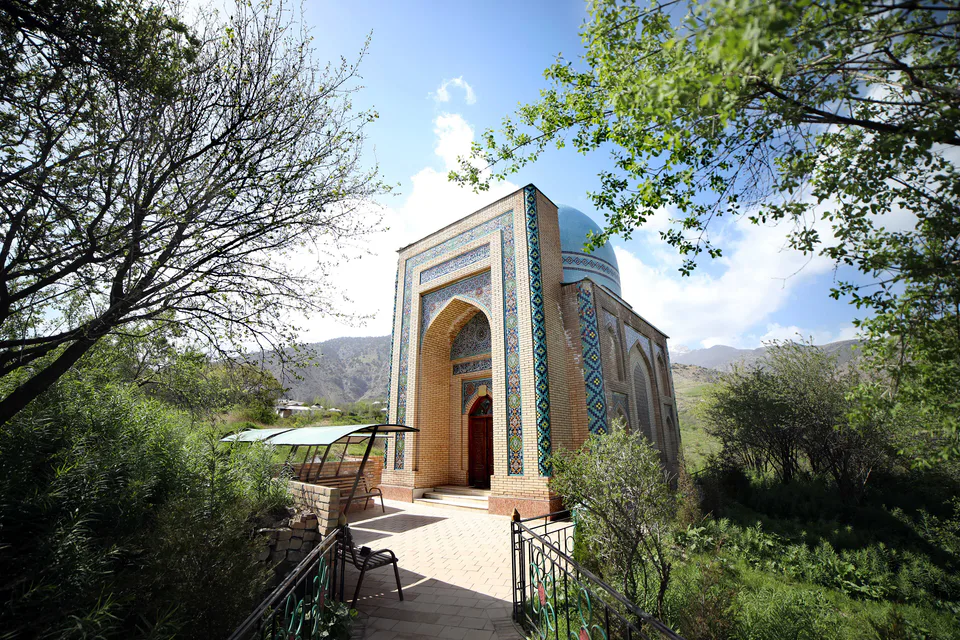
Oltinsoy District
district · Vineyards and the shrine of Khojaipok Ota
Qumqo‘rg‘on District
district · The region’s centre and the end of the Tashguzar–Boysun–Qumqo‘rg‘on railway
Sariosiyo District
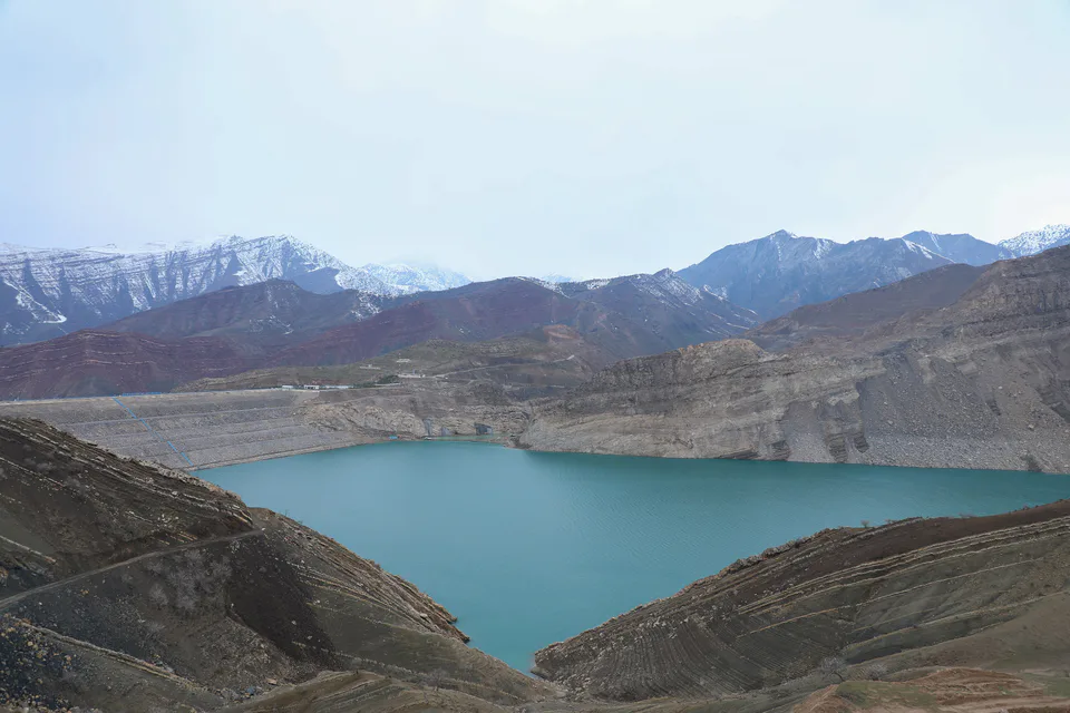
district · Hisor peaks, Sangardak waterfall and the Topalang valley
Sherobod District
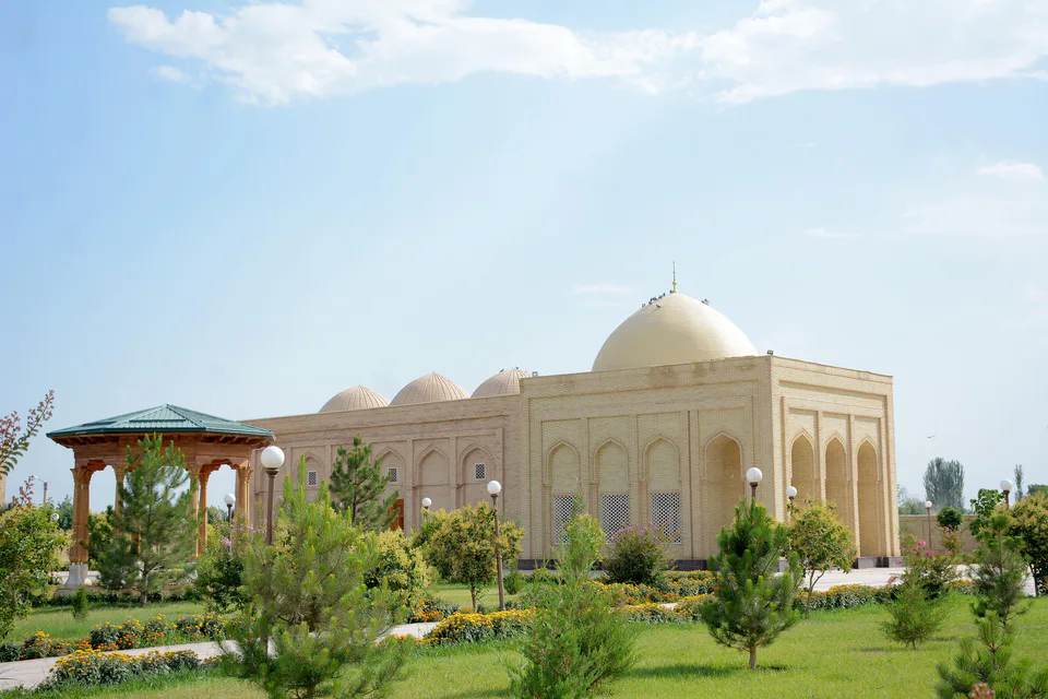
district · The Kohitang mountains, Zarautsoy rock art and Bronze Age Djarkutan
Sho‘rchi District
district · Home of Dalverzin Tepe and its gold hoard
Termez District
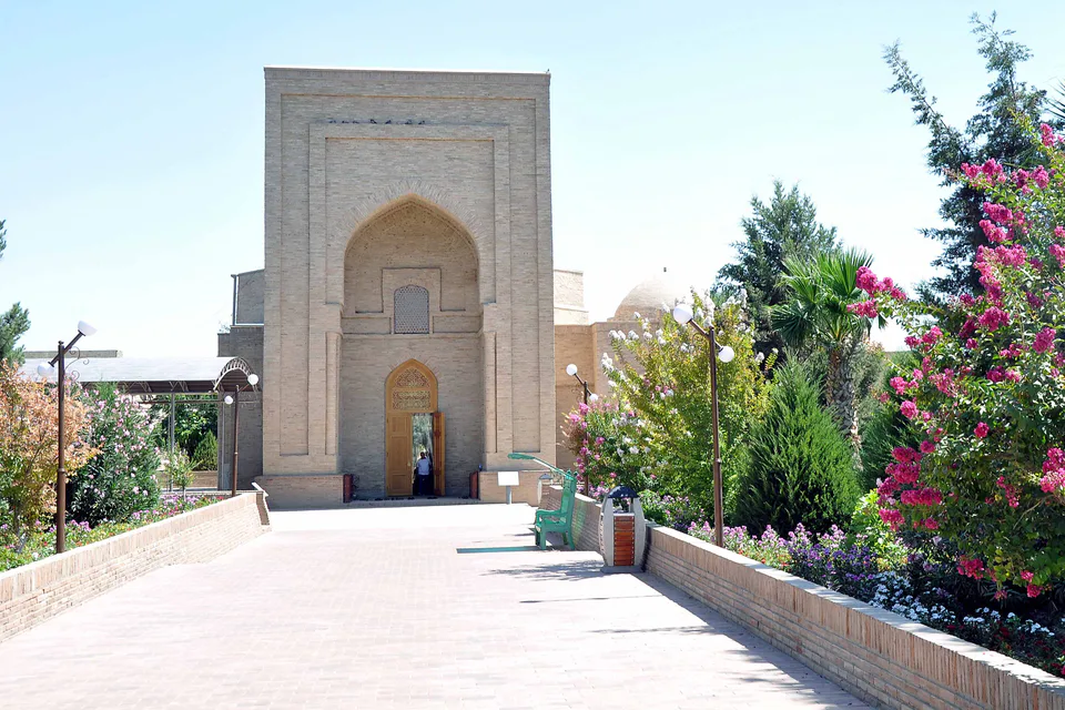
district · Where two rivers meet: Old Termez and its Buddhist monasteries
Uzun District
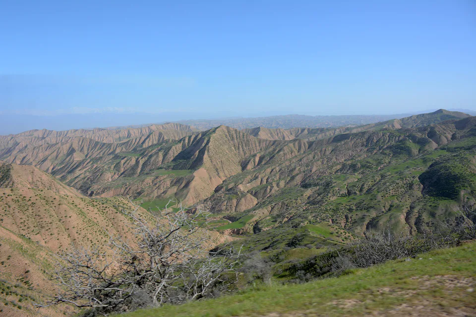
district · Bobotog country, bordered by Tajikistan on three sides