Nature · Sariosiyo District
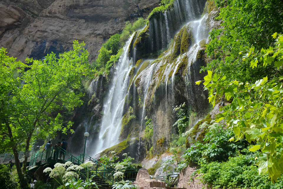
Sangardak Waterfall
A karst waterfall that bursts from the rock
district · Surkhandarya Region
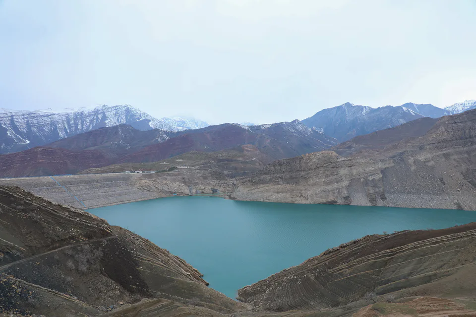
The region’s northernmost and largest district, with the Hisor Range, the country’s highest point Khazret Sultan, the Sangardak waterfall and the Yuqori Topalang National Park.
Sariosiyo District was created on 29 September 1926, merged into Denov District in 1962 and re-established on 22 February 1964. At 3,823 km² it is the region’s largest district, with 238,000 inhabitants on 1 January 2026; the centre is Sariosiyo, 180 km north of Termez, and the district also includes the town of Shargun.
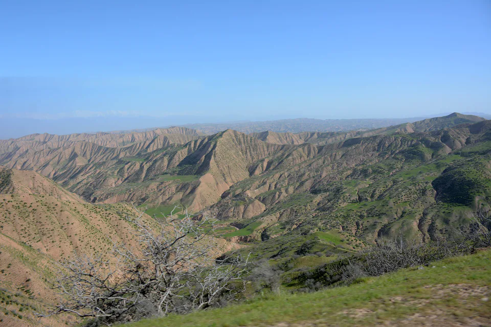
The Hisor Range rises in the north, where Khazret Sultan (4,643 m) on the Tajik border is officially Uzbekistan’s highest point. The south-west holds the foothills of the Boysuntog and Bobotog ranges, with rolling hills and river valleys between. In 2022 the Yuqori Topalang National Nature Park was created in the Topalang valley.
The district’s best-known natural sight is the Sangardak waterfall, which bursts from karst springs inside the rock, and its mountain villages are prized as cool summer retreats. The Uzun–Shargun railway crosses the district, and coal is mined at Shargun.
Sariosiyo District
Airport, railway station and bus stations — addresses, timetables and the live board.
All transportBoysun Nearest point: Boysun, 70 km
11°clear sky
Weather: MET Norway
Sariosiyo District
Khokimiyat, public service centre and other offices: addresses, phones, hours.
All offices (3)Khokimiyat
1 Abdulla Qahhor St, Sariosiyo District
8:00–17:00
Read morePublic Service Centre
Lutfikor Mahalla, Sariosiyo District
Read moreSariosiyo District
Codes of the post offices in this city or district.
All postcodes (10)
city · A 2,500-year-old border city on the Amu Darya
district · Home of Zartepa, a Kushan town near Termez
district · A district created twice, named after an ancient “khan’s dam”
district · A living culture recognised by UNESCO, among ancient mountains
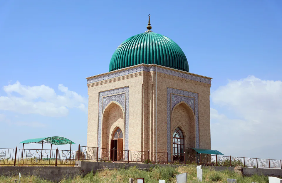
district · The heart of ancient Chaghaniyan and the region’s most populous district
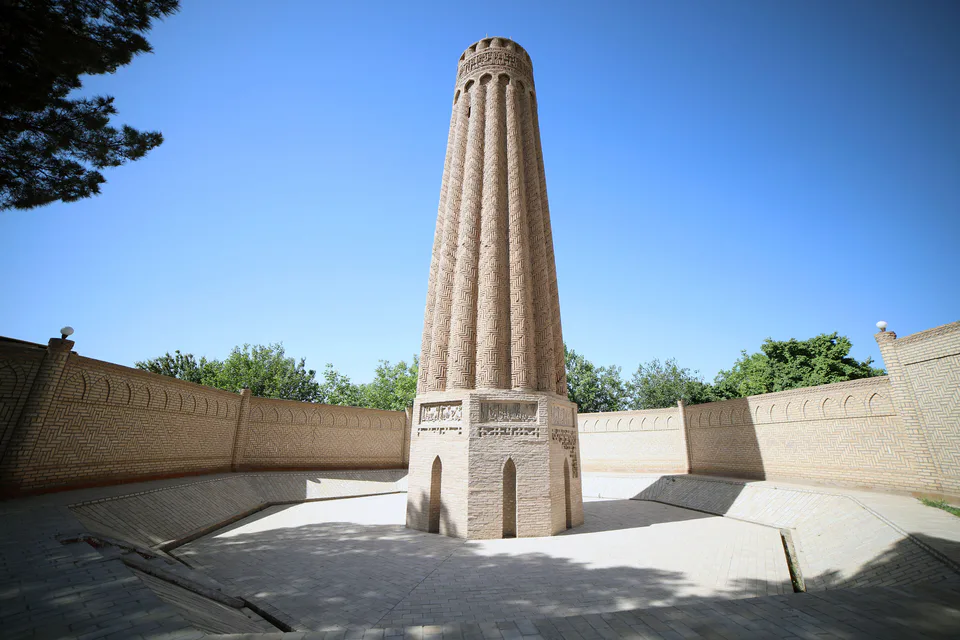
district · A Seljuk minaret and the plains of the Surkhan valley
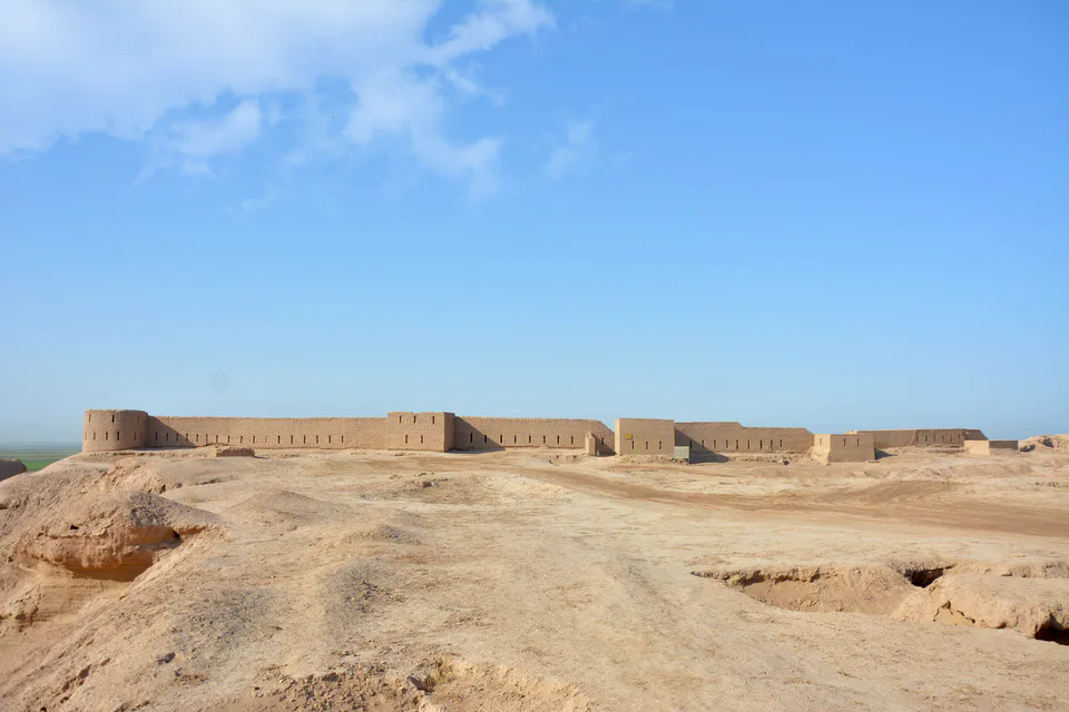
district · Kampir Tepe on the Amu Darya and Bronze Age Sapallitepa
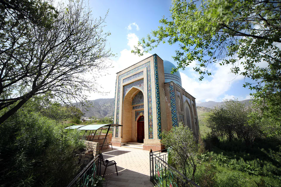
district · Vineyards and the shrine of Khojaipok Ota
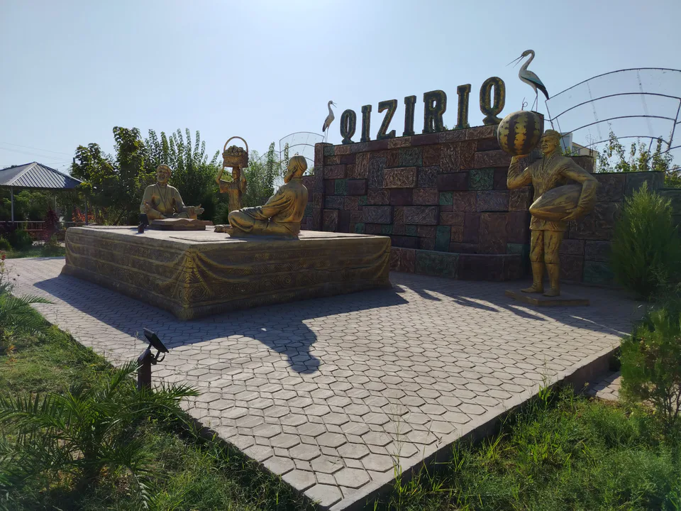
district · One of the region’s hottest steppe plains
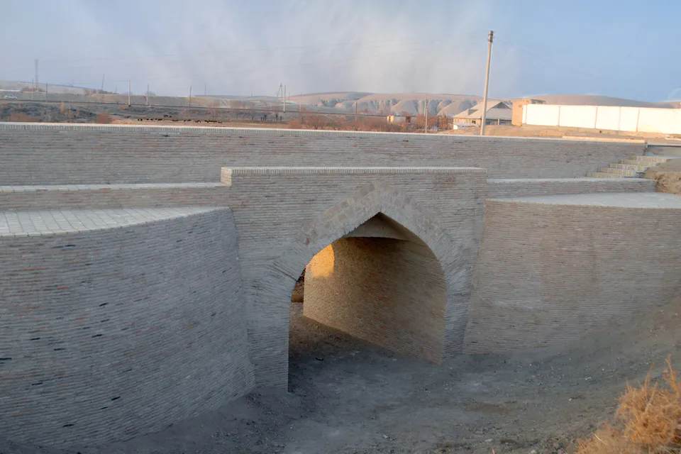
district · The region’s centre and the end of the Tashguzar–Boysun–Qumqo‘rg‘on railway
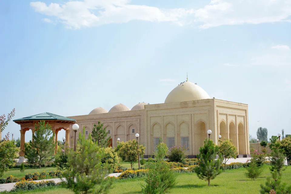
district · The Kohitang mountains, Zarautsoy rock art and Bronze Age Djarkutan
district · Home of Dalverzin Tepe and its gold hoard
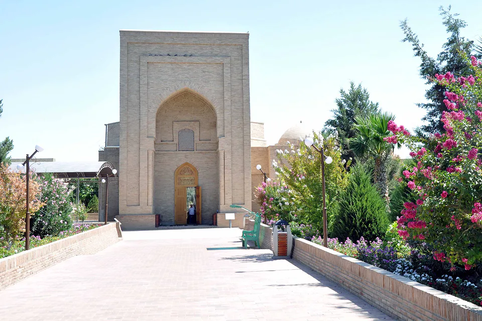
district · Where two rivers meet: Old Termez and its Buddhist monasteries
district · Bobotog country, bordered by Tajikistan on three sides