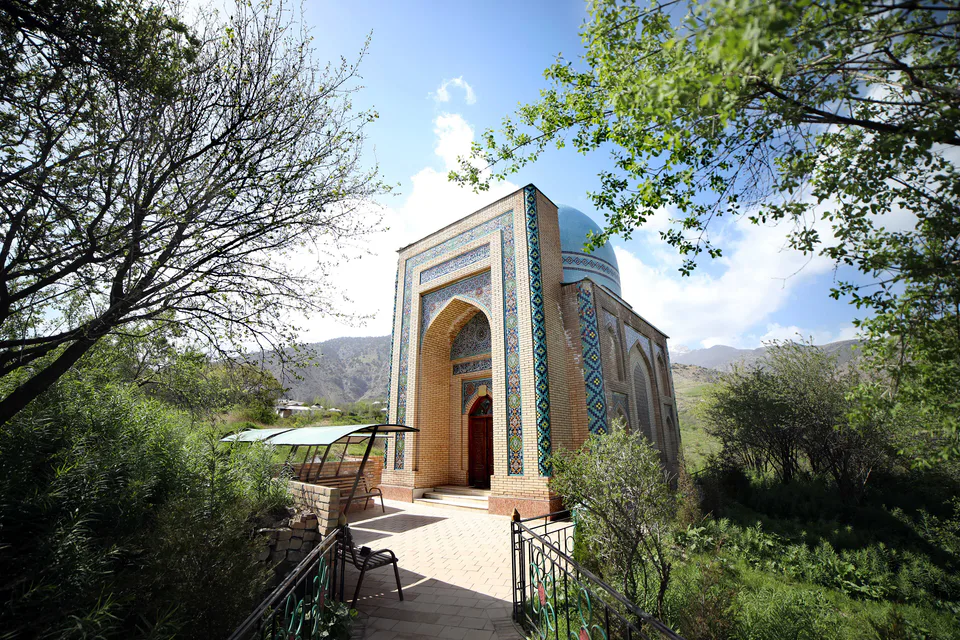
district · Surkhandarya Region
Oltinsoy District
A district created in 1981 from parts of Sho‘rchi and Denov, with the Oltinsoy valley, grape-growing and winemaking, and the Khojaipok Ota shrine.
Photo: Jonibek Qo'zimurodov · CC BY-SA 4.0 · Wikimedia Commons
Setting and nature
Oltinsoy District was formed on 23 November 1981 from parts of the Sho‘rchi and Denov districts and borders Denov, Boysun, Sho‘rchi and Qumqo‘rg‘on. It covers 568 km² and had 201,800 inhabitants on 1 January 2026; the centre is Qorliq, 140 km north-east of Termez.
The district lies on fertile plain in northern Surkhandarya, its western edge reaching into the foothills. The Oltinsoy river flows through the centre and the Hazarbog canal runs north to south. The climate is dry subtropical, with summer highs up to 46 °C.
Economy and shrines
Orchards, above all vineyards, dominate farming, and the Sulton Sharbati company, founded in 2002, makes wine and juice from local grapes. Ancient mounds such as Degreztepa, Munchoqtepa and Qiziltepa dot the district. The 16th-century Khojaipok Ota shrine in Khojaipok village is a protected heritage site, and the sulphur spring beside it is believed to be healing.
Sources (3)
Oltinsoy District
Getting there
Airport, railway station and bus stations — addresses, timetables and the live board.
All transportBoysun Nearest point: Boysun, 42 km
11°clear sky
- 11° / 11°
- 0.5 m/s
- 47%
- Today11°11°
- Mon17°10°
- Tue17°10°
- Wed15°9°
- Thu14°8°
Weather: MET Norway
Oltinsoy District
Government offices
Khokimiyat, public service centre and other offices: addresses, phones, hours.
All offices (3)Khokimiyat
Oltinsoy District Khokimiyat
8 Mustaqillik St, Oltinsoy District
8:00–17:00
Read morePublic Service Centre
Oltinsoy District Public Services Centre
3 Mustaqillik St, Oltinsoy District
Read moreOltinsoy District
Postal codes
Codes of the post offices in this city or district.
All postcodes (7)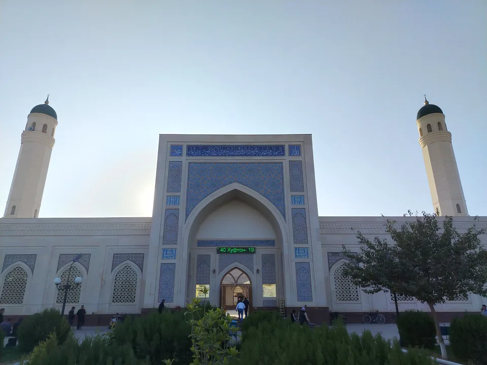
Termez City
city · A 2,500-year-old border city on the Amu Darya
Angor District
district · Home of Zartepa, a Kushan town near Termez
Bandixon District
district · A district created twice, named after an ancient “khan’s dam”
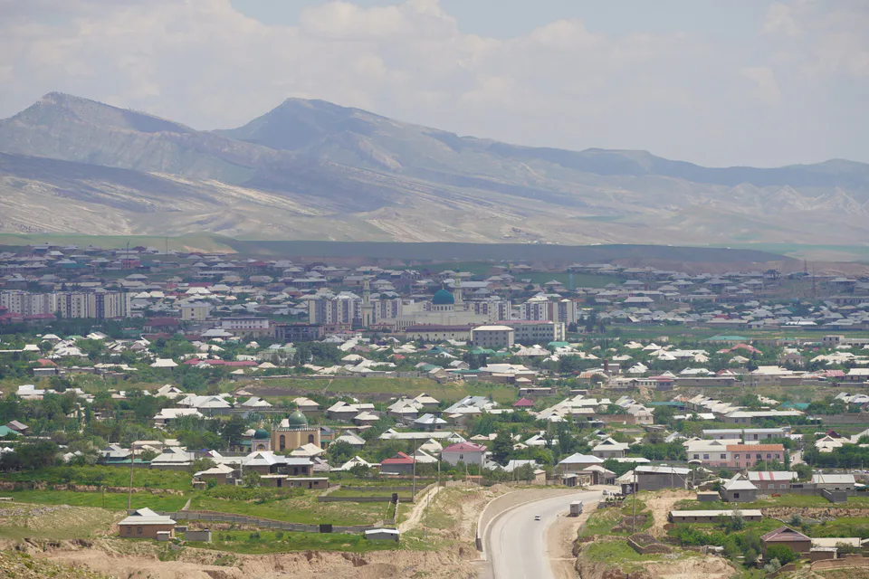
Boysun District
district · A living culture recognised by UNESCO, among ancient mountains
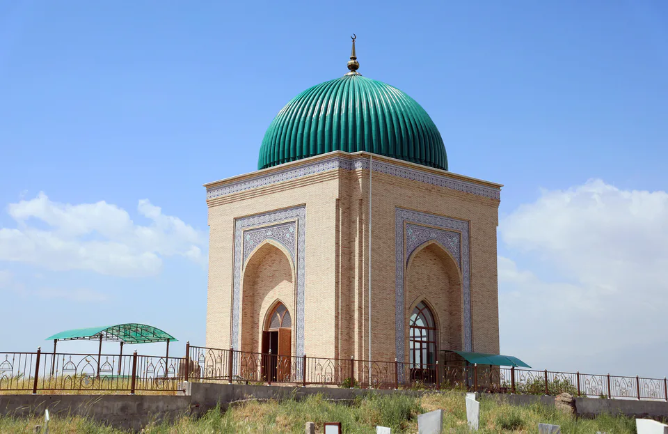
Denov District
district · The heart of ancient Chaghaniyan and the region’s most populous district
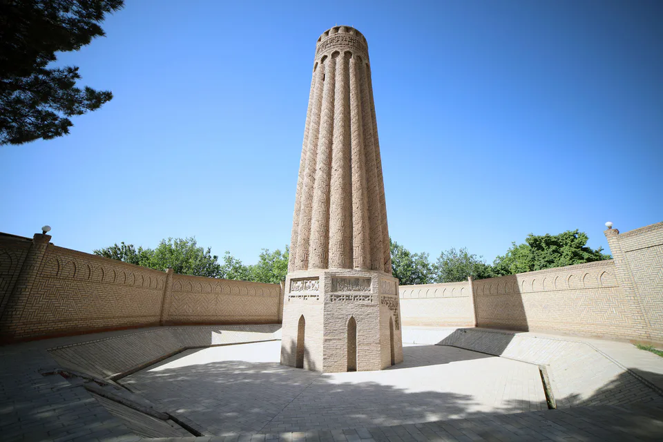
Jarqo‘rg‘on District
district · A Seljuk minaret and the plains of the Surkhan valley
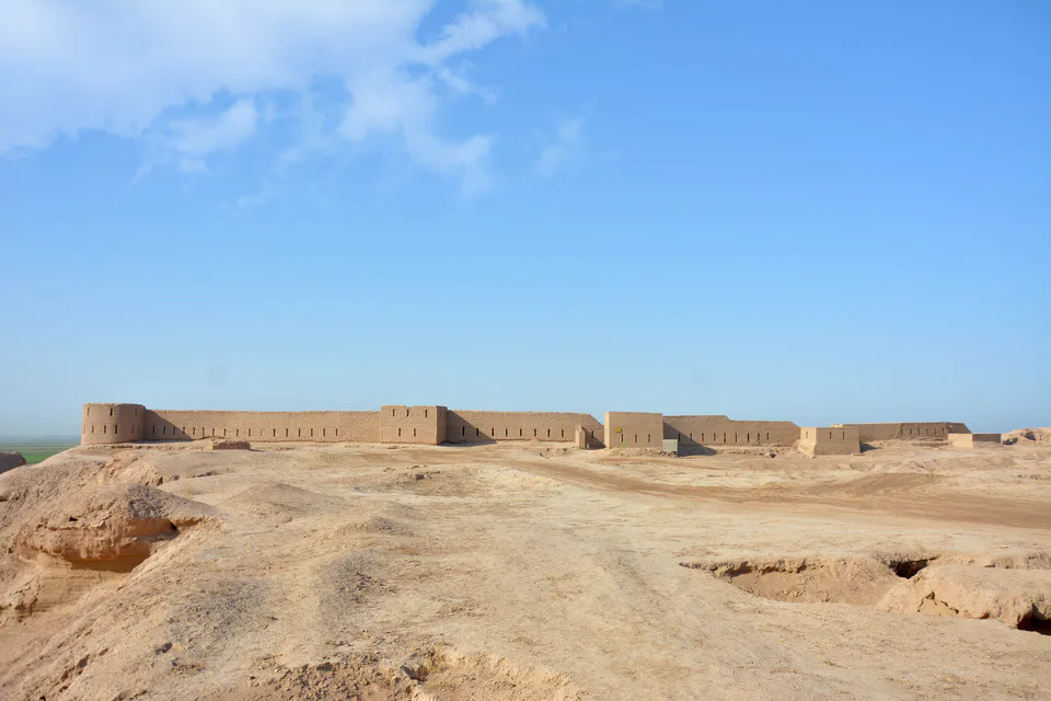
Muzrabot District
district · Kampir Tepe on the Amu Darya and Bronze Age Sapallitepa
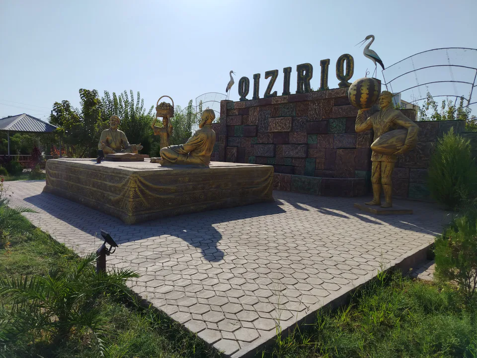
Qiziriq District
district · One of the region’s hottest steppe plains
Qumqo‘rg‘on District
district · The region’s centre and the end of the Tashguzar–Boysun–Qumqo‘rg‘on railway
Sariosiyo District
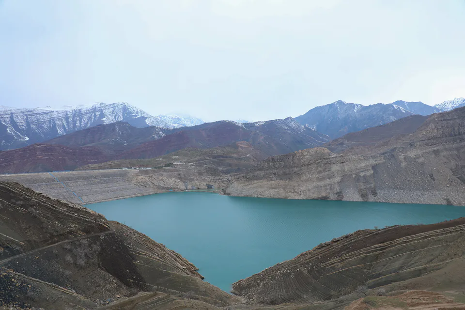
district · Hisor peaks, Sangardak waterfall and the Topalang valley
Sherobod District
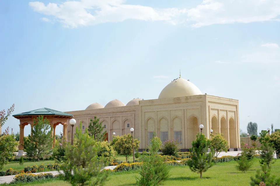
district · The Kohitang mountains, Zarautsoy rock art and Bronze Age Djarkutan
Sho‘rchi District
district · Home of Dalverzin Tepe and its gold hoard
Termez District
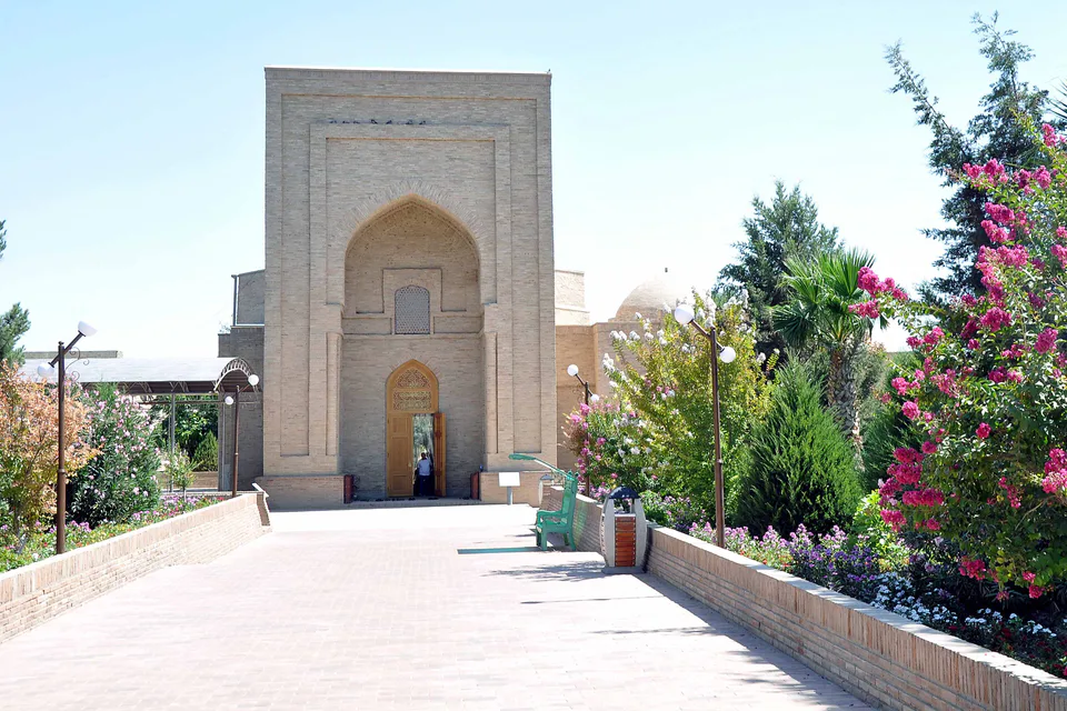
district · Where two rivers meet: Old Termez and its Buddhist monasteries
Uzun District
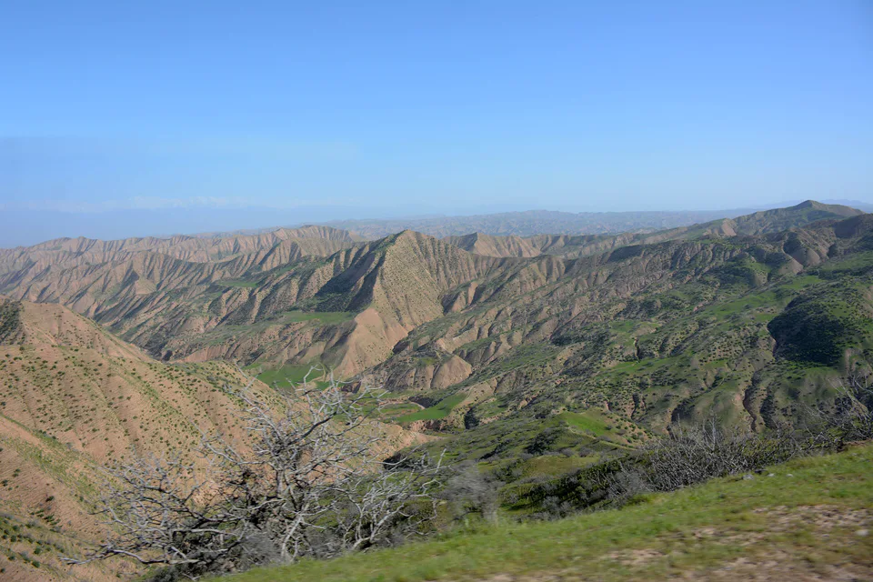
district · Bobotog country, bordered by Tajikistan on three sides