Archaeology · Angor District
Zartepa
The Kushan-era hub of the Sherobod oasis
district · Surkhandarya Region
A small, densely populated district north-west of Termez, growing grain, cotton and vegetables, with the ruins of the Kushan town of Zartepa.
Angor District lies in the south of Surkhandarya Region, bordering the Termez, Muzrabot, Sherobod, Qiziriq and Jarqo‘rg‘on districts. Created on 16 April 1952, it was merged into Termez District in December 1962 and re-established in December 1979. It covers 387 km² and had 150,100 inhabitants on 1 January 2026; the centre, Angor, lies 33 km north-west of Termez on the Tashkent–Termez highway.
The district specialises in grain, cotton, vegetables and melons, with orchards and vineyards as well.
Fourteen kilometres north-west of Old Termez lie the ruins of Zartepa, from the 1st century BC to the 4th century AD the third-largest town of the Surkhandarya valley after Termez and Dalverzin Tepe and the centre of the Sherobod oasis; a palace, a stupa and fortifications have been excavated. The nearby Kushan-era Buston cemeteries have also been studied.
Angor District
Angor District
Airport, railway station and bus stations — addresses, timetables and the live board.
All transportTermez Nearest point: Termez, 29 km
16°partly cloudy
Weather: MET Norway
Angor District
Khokimiyat, public service centre and other offices: addresses, phones, hours.
All offices (3)Khokimiyat
58 At-Termizi St, Angor District
Read morePublic Service Centre
100 At-Termizi St, Navbahor Mahalla, Angor District
Read more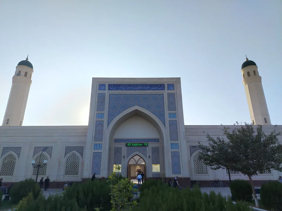
city · A 2,500-year-old border city on the Amu Darya
district · A district created twice, named after an ancient “khan’s dam”
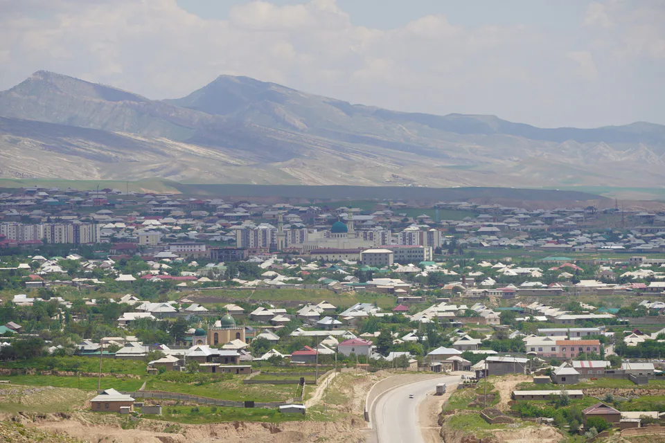
district · A living culture recognised by UNESCO, among ancient mountains
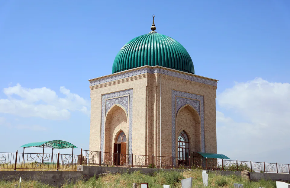
district · The heart of ancient Chaghaniyan and the region’s most populous district
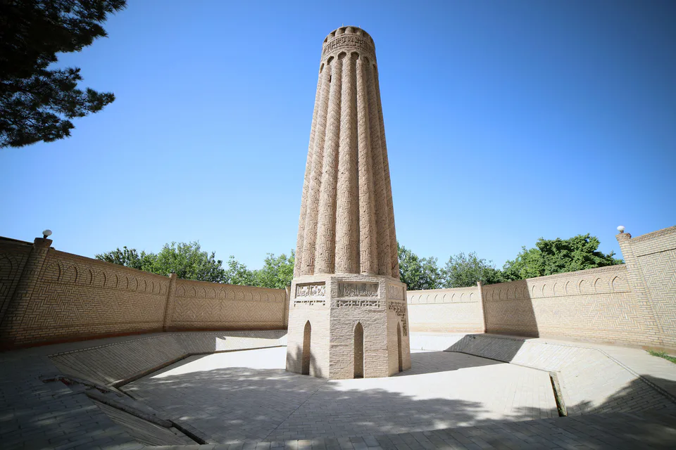
district · A Seljuk minaret and the plains of the Surkhan valley
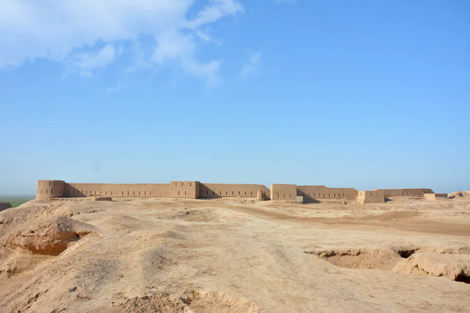
district · Kampir Tepe on the Amu Darya and Bronze Age Sapallitepa
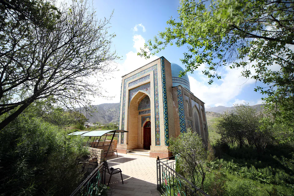
district · Vineyards and the shrine of Khojaipok Ota
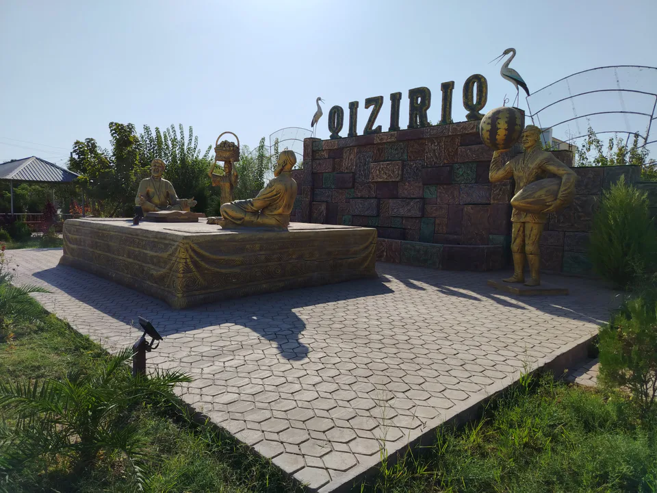
district · One of the region’s hottest steppe plains
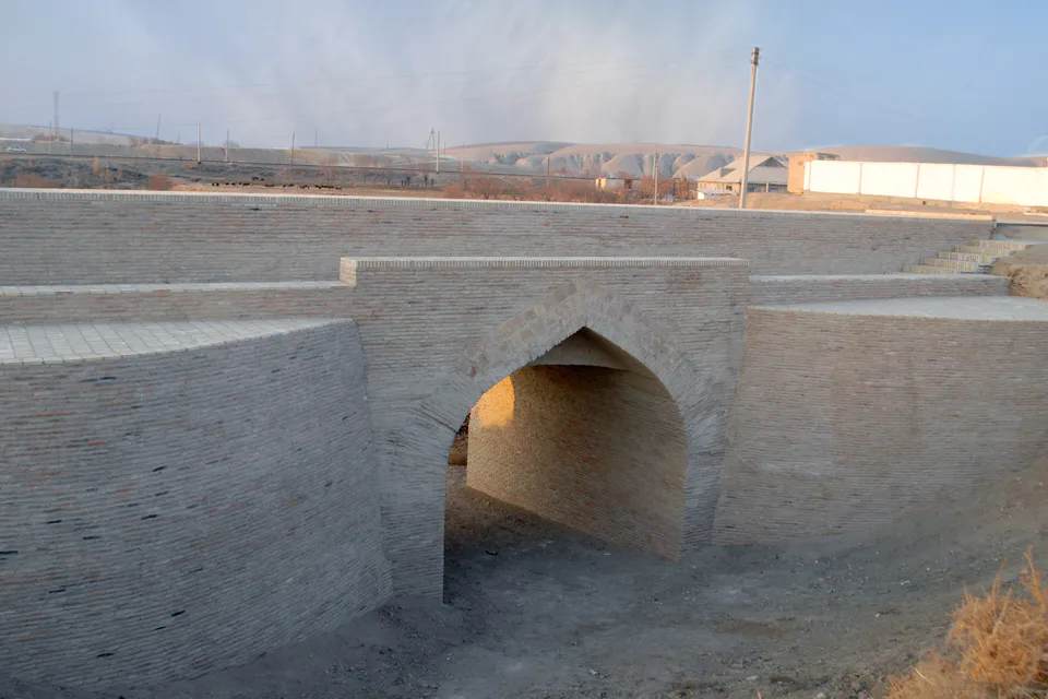
district · The region’s centre and the end of the Tashguzar–Boysun–Qumqo‘rg‘on railway
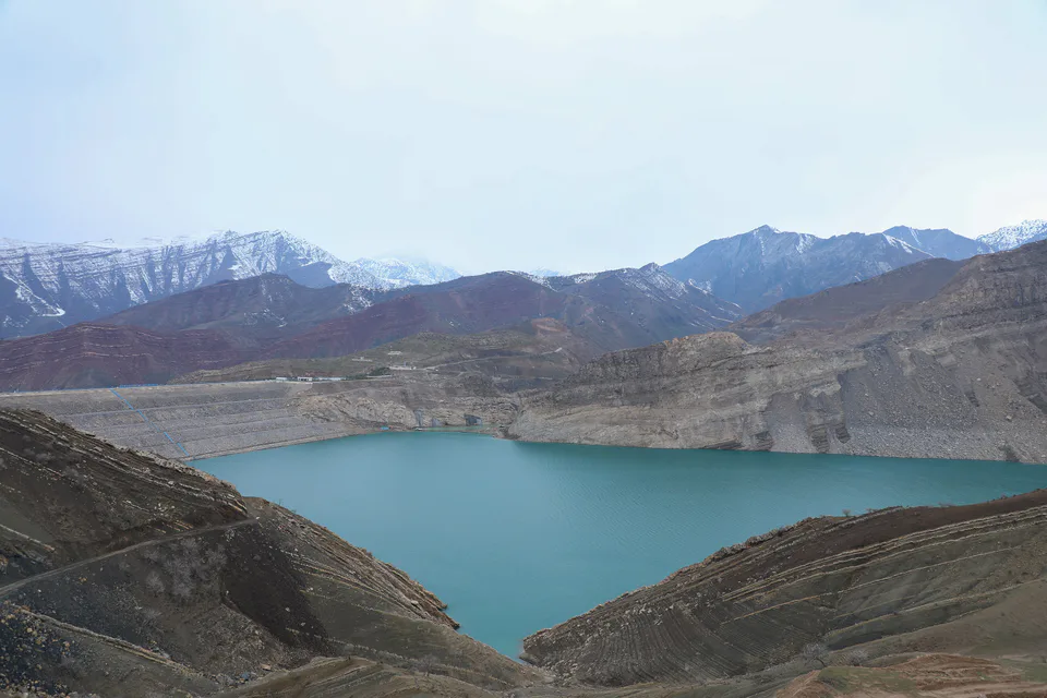
district · Hisor peaks, Sangardak waterfall and the Topalang valley
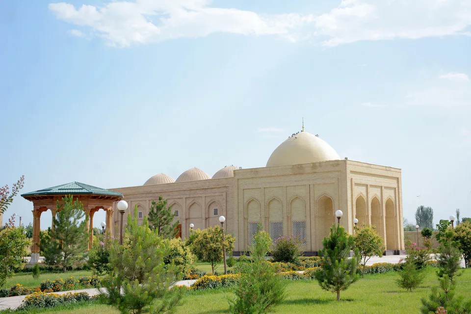
district · The Kohitang mountains, Zarautsoy rock art and Bronze Age Djarkutan
district · Home of Dalverzin Tepe and its gold hoard
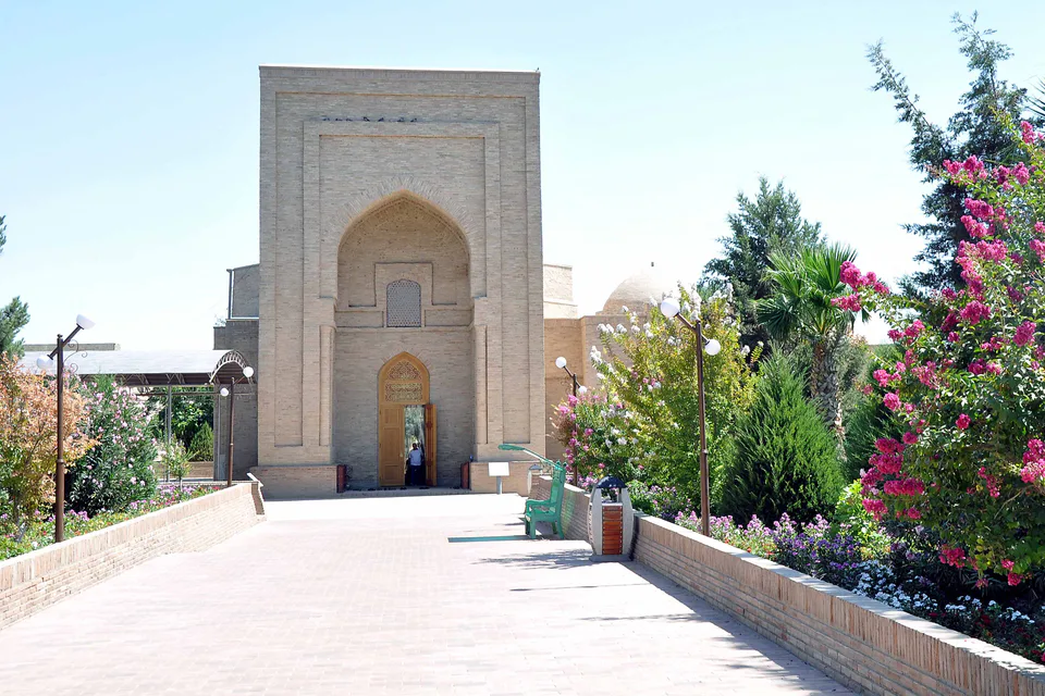
district · Where two rivers meet: Old Termez and its Buddhist monasteries
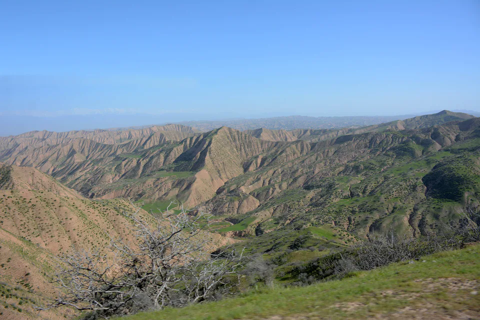
district · Bobotog country, bordered by Tajikistan on three sides