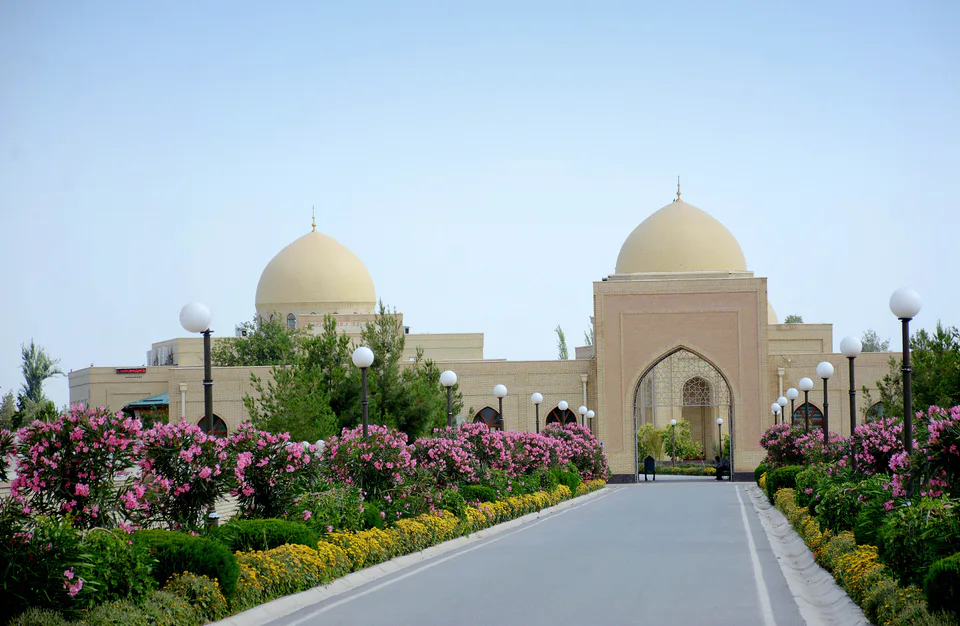
Pilgrimage site · Sherobod District
Imam al-Tirmidhi Mausoleum
Resting place of the compiler of Jami al-Tirmidhi
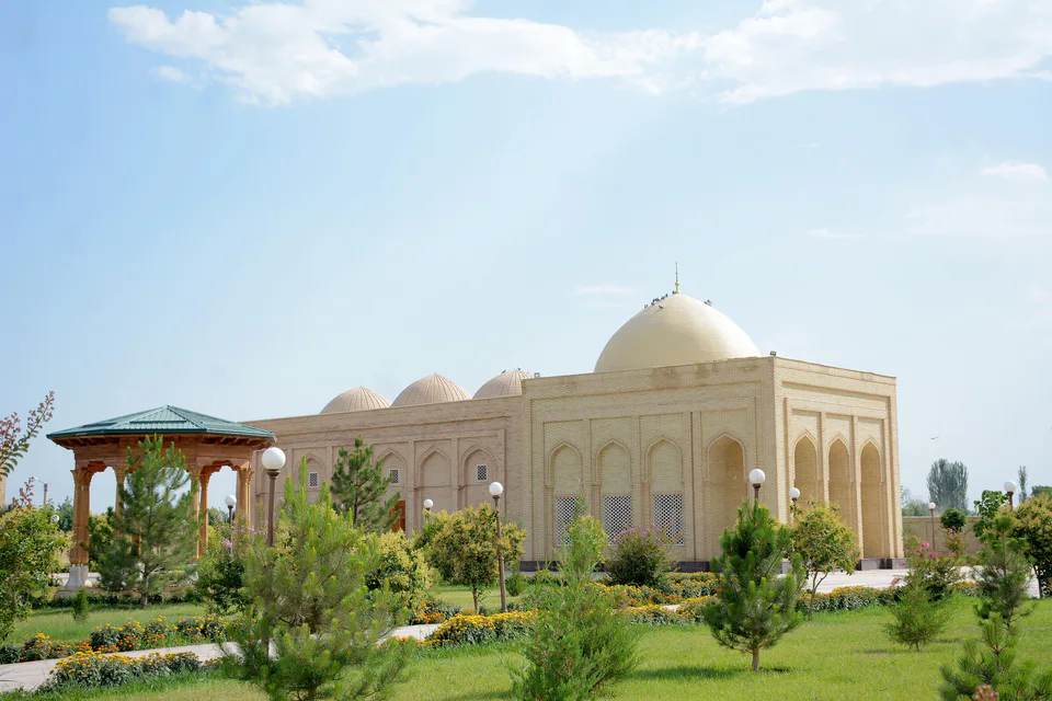
district · Surkhandarya Region
A district in the west of the region with the Kohitang range and the Surkhan reserve, the Zarautsoy rock paintings, the Bronze Age settlement of Djarkutan and the mausoleum of Imam al-Tirmidhi.
Sherobod District was created on 29 September 1926. It borders Boysun to the north, Bandixon to the north-east, Qiziriq to the east, Muzrabot to the south, Angor to the south-east, Kashkadarya Region to the north-west and Turkmenistan to the west. It covers 2,728 km² and had 218,900 inhabitants on 1 January 2026; the centre is Sherobod town.
The landscape combines desert plains, foothills and mountains. In the west rises the Kohitang range, whose highest point, Ayri Ota (3,139 m), lies on the Turkmen border, with the Zarabog and Pashkhord basins between the ridges. The eastern slope of the Kohitang belongs to the Surkhan State Nature Reserve.
Sherobod has long been the western gateway of the Surkhan oasis and was the seat of a beglik under the Bukhara Emirate. The district holds the Bronze Age proto-city of Djarkutan, the Mesolithic–Neolithic Zarautsoy rock paintings, Tavka Kurgan, where the Princess of Tokharistan mural was found, and the mausoleum of Abu Isa al-Tirmidhi (824–892), compiler of the Sunan al-Tirmidhi.
Sherobod District
Pilgrimage site · Sherobod District
Resting place of the compiler of Jami al-Tirmidhi
Archaeology · Sherobod District
A Bronze Age “proto-city” with a fire temple
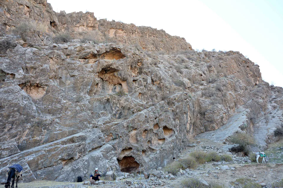
Archaeology · Sherobod District
Masked hunters and wild bulls: a Stone Age gallery
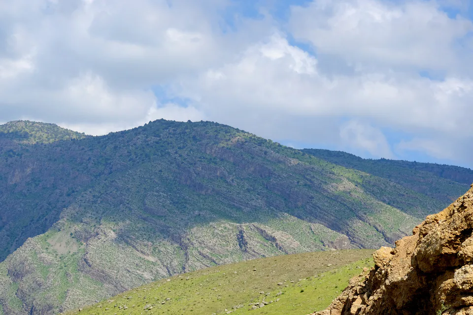
Nature · Sherobod District
Kohitang junipers and Amu Darya riverine forest
Sherobod District
Airport, railway station and bus stations — addresses, timetables and the live board.
All transportTermez Nearest point: Termez, 55 km
15°partly cloudy
Weather: MET Norway
Sherobod District
Checked hotels and places to eat — with addresses, phone numbers, opening hours and price levels.
Sherobod District
Khokimiyat, public service centre and other offices: addresses, phones, hours.
All offices (3)Khokimiyat
22 A. Navoi St, Sherabad, Sherabad District
Mon–Fri 9:00–18:00, lunch 13:00–14:00
Read morePublic Service Centre
Taroqli Mahalla, Sherabad District
Read moreSherobod District
Codes of the post offices in this city or district.
All postcodes (8)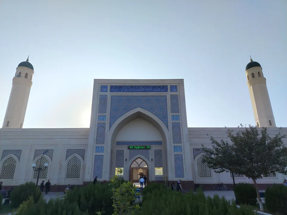
city · A 2,500-year-old border city on the Amu Darya
district · Home of Zartepa, a Kushan town near Termez
district · A district created twice, named after an ancient “khan’s dam”
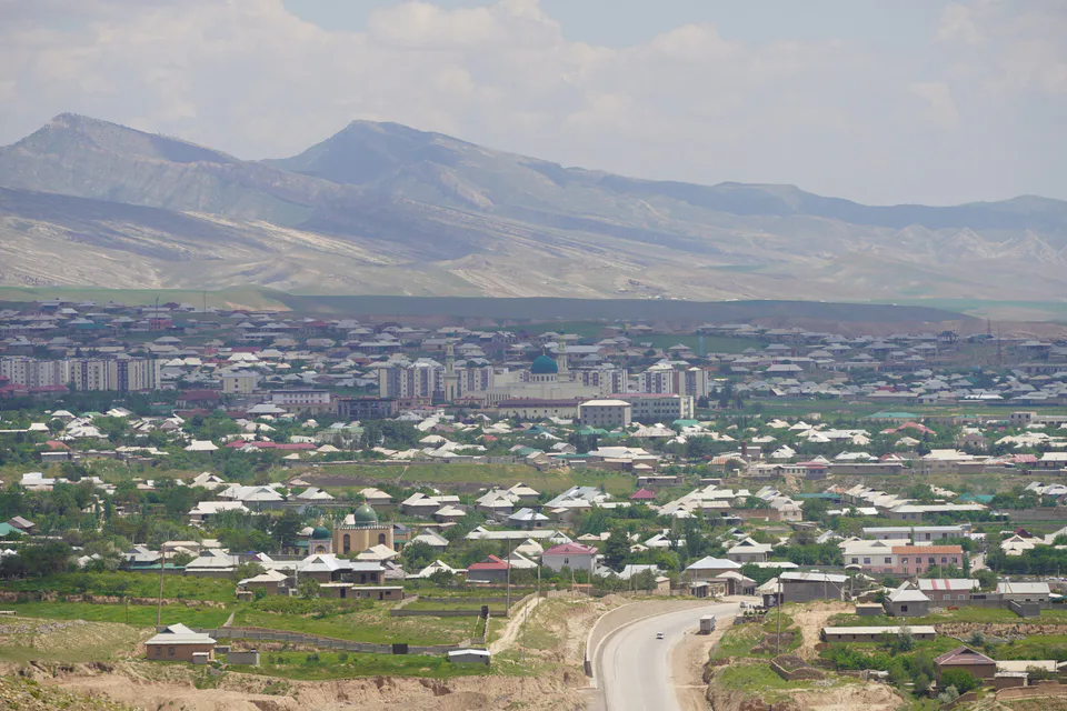
district · A living culture recognised by UNESCO, among ancient mountains
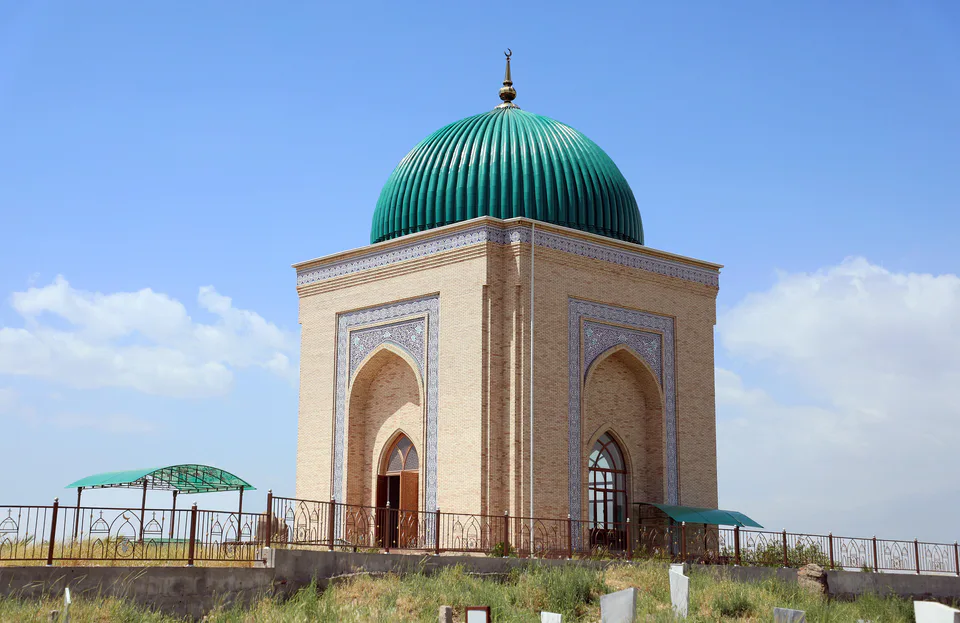
district · The heart of ancient Chaghaniyan and the region’s most populous district
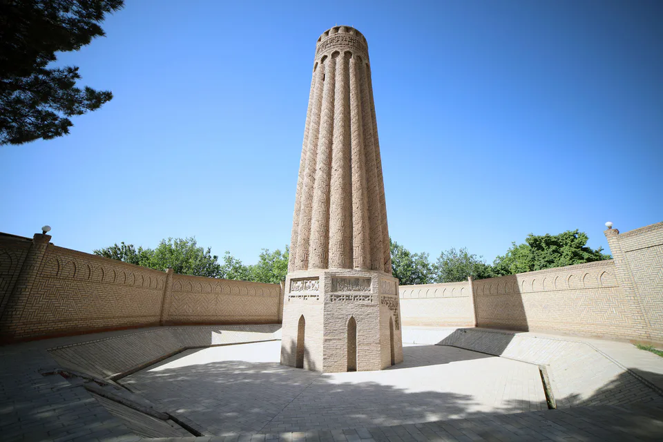
district · A Seljuk minaret and the plains of the Surkhan valley
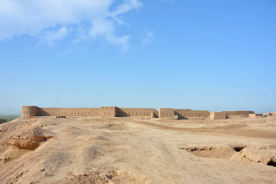
district · Kampir Tepe on the Amu Darya and Bronze Age Sapallitepa
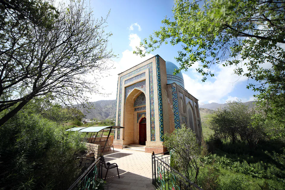
district · Vineyards and the shrine of Khojaipok Ota
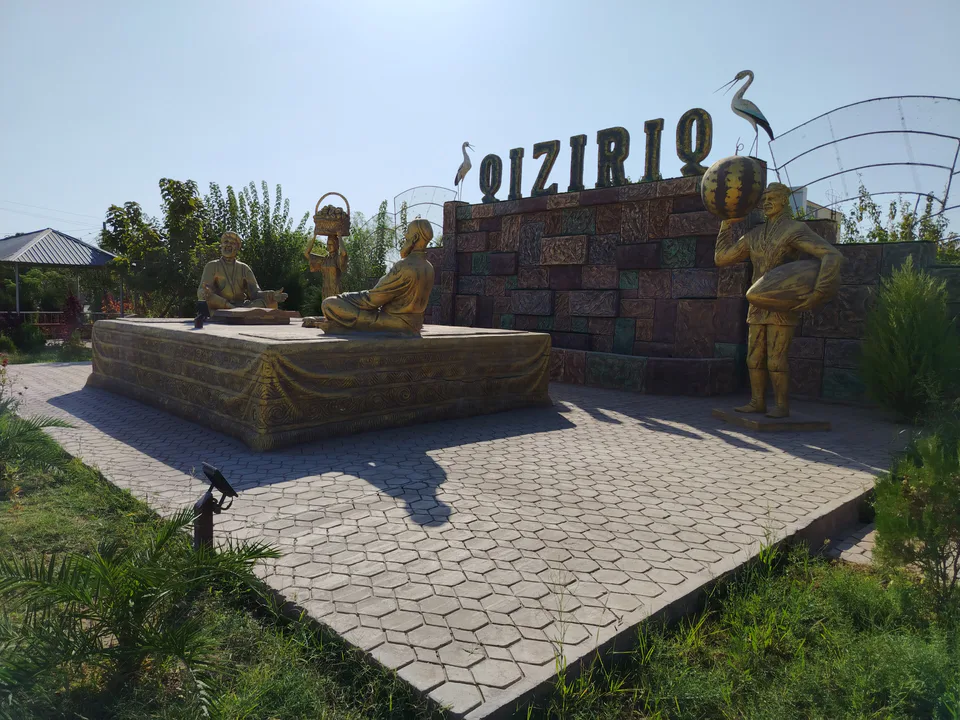
district · One of the region’s hottest steppe plains
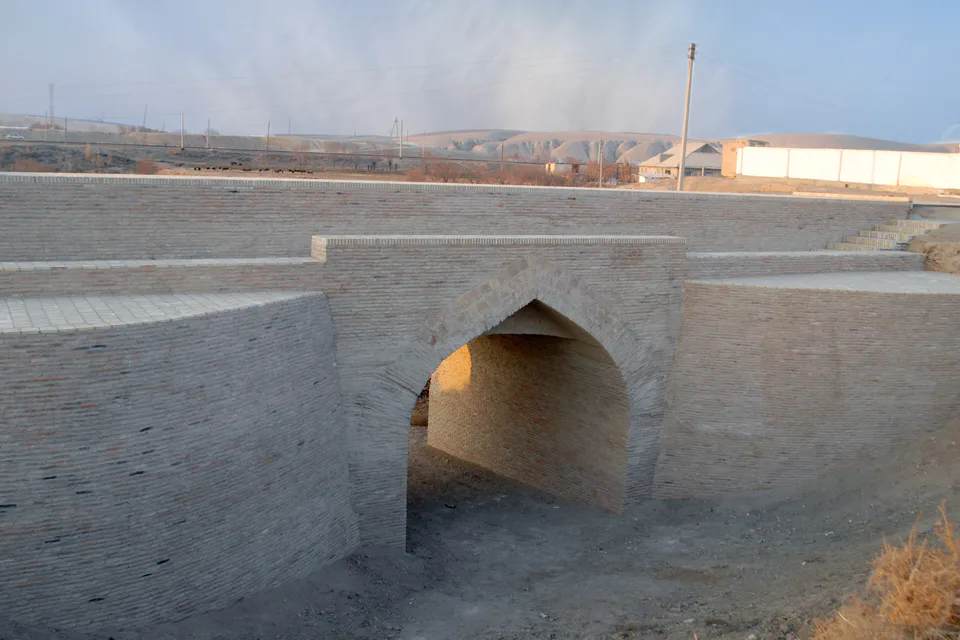
district · The region’s centre and the end of the Tashguzar–Boysun–Qumqo‘rg‘on railway
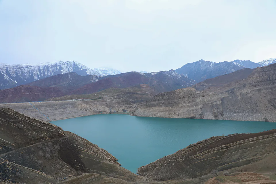
district · Hisor peaks, Sangardak waterfall and the Topalang valley
district · Home of Dalverzin Tepe and its gold hoard
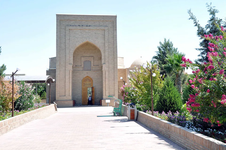
district · Where two rivers meet: Old Termez and its Buddhist monasteries
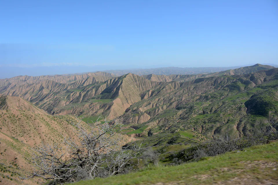
district · Bobotog country, bordered by Tajikistan on three sides