Nature · Uzun District
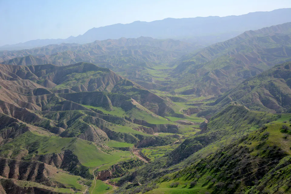
Bobotog (Babatag) National Nature Park
A new national park in Bukhara markhor country
district · Surkhandarya Region
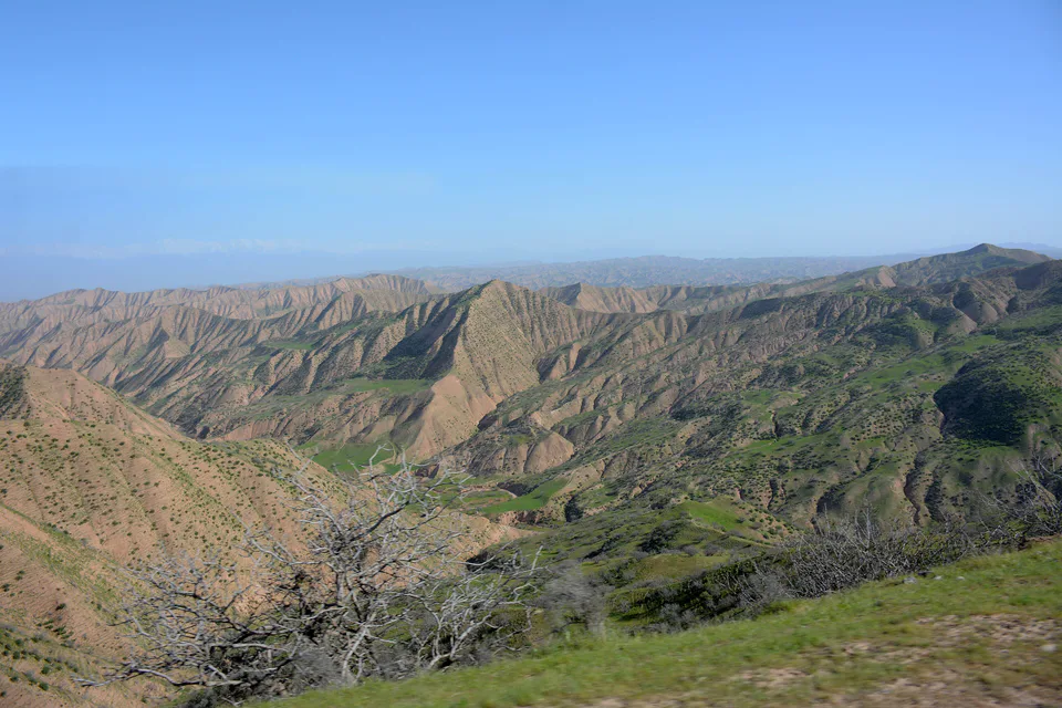
A district in the region’s north-east bordered by Tajikistan on three sides, with the Bobotog range, the Bobotog National Park created in 2022, and vineyards.
Uzun District was created on 12 January 1942, merged into Sariosiyo District in 1959 and re-established on 29 March 1991. It borders Sariosiyo to the north-west, Qumqo‘rg‘on to the south-west and Denov and Sho‘rchi to the west, and Tajikistan to the east, south and north. It covers 1,845 km² and had 196,700 inhabitants on 1 January 2026; the centre is the town of Uzun, which has a railway station.
The population is mainly Uzbek and Tajik, and the Bobotog range occupies the eastern part of the district.
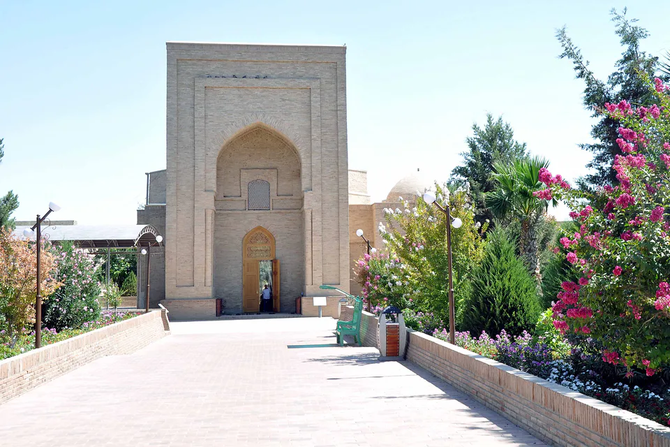
In 2022 the 12,064-hectare Bobotog National Nature Park was created on the Bobotog range, known as one of the homes of the Bukhara markhor. Grape-growing is important to local farming and has spread widely through the mahallas in recent years. The district also has shrines such as the Oqostona Bobo Mausoleum.
Uzun District
Airport, railway station and bus stations — addresses, timetables and the live board.
All transportBoysun Nearest point: Boysun, 73 km
11°clear sky
Weather: MET Norway
Uzun District
Khokimiyat, public service centre and other offices: addresses, phones, hours.
All offices (3)Khokimiyat
7 Uzbekistan St, Uzun District
Read morePublic Service Centre
6 Uzbekistan St, Uzbekiston Mahalla, Uzun District
Read more
city · A 2,500-year-old border city on the Amu Darya
district · Home of Zartepa, a Kushan town near Termez
district · A district created twice, named after an ancient “khan’s dam”
district · A living culture recognised by UNESCO, among ancient mountains
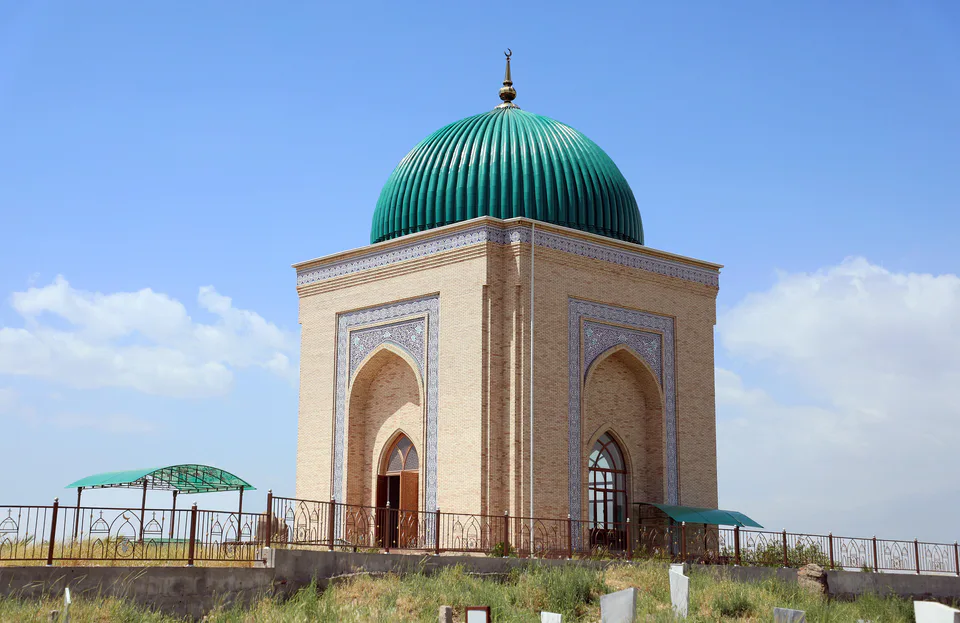
district · The heart of ancient Chaghaniyan and the region’s most populous district
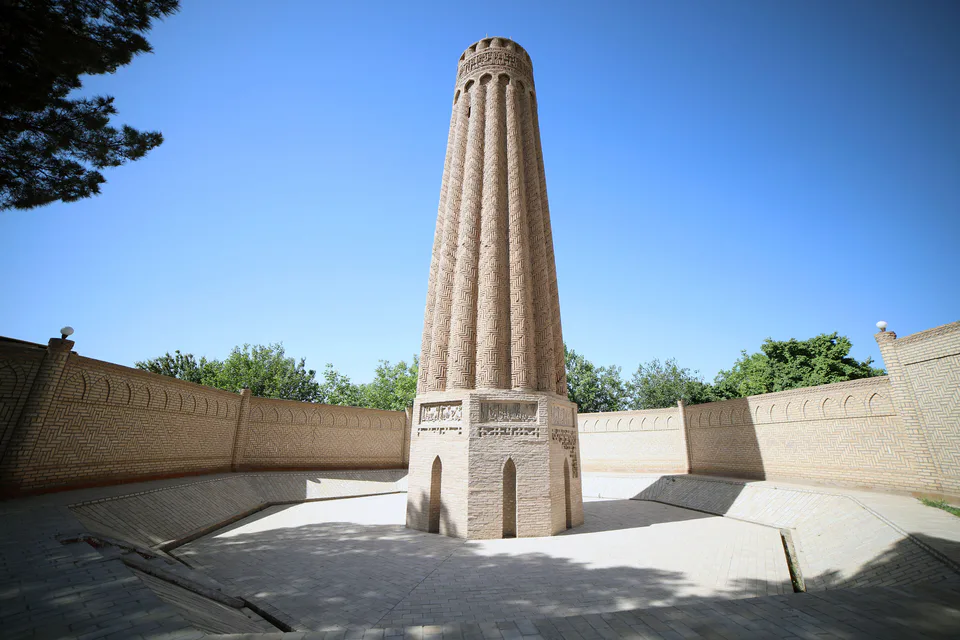
district · A Seljuk minaret and the plains of the Surkhan valley
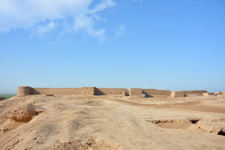
district · Kampir Tepe on the Amu Darya and Bronze Age Sapallitepa
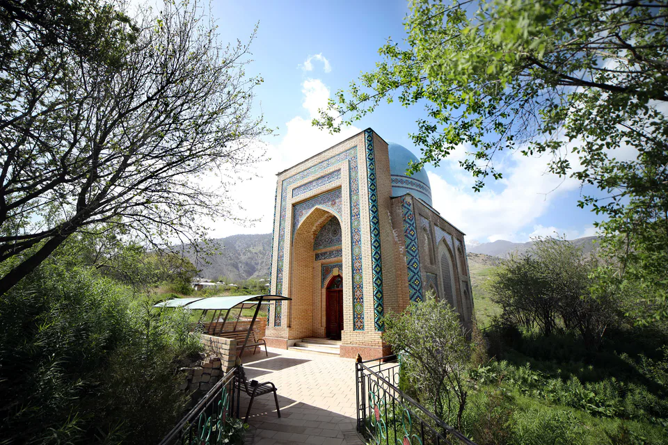
district · Vineyards and the shrine of Khojaipok Ota
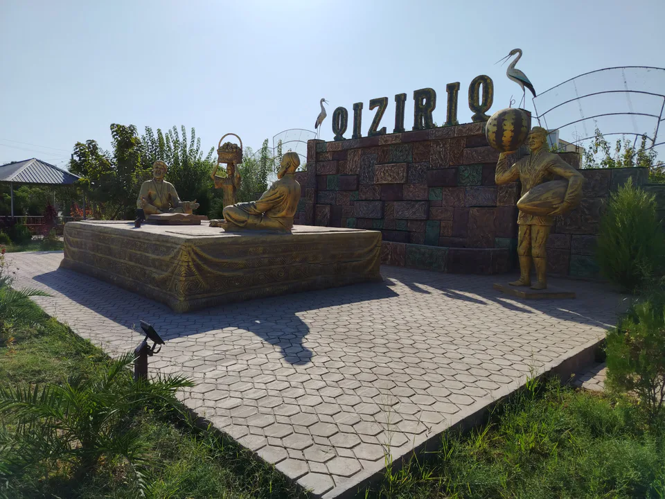
district · One of the region’s hottest steppe plains
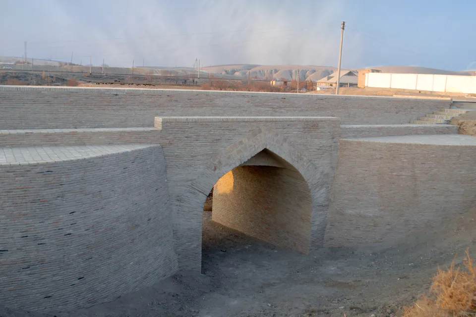
district · The region’s centre and the end of the Tashguzar–Boysun–Qumqo‘rg‘on railway
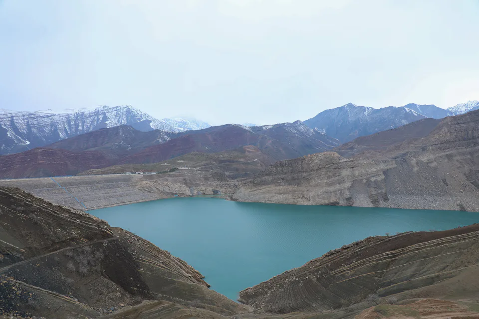
district · Hisor peaks, Sangardak waterfall and the Topalang valley
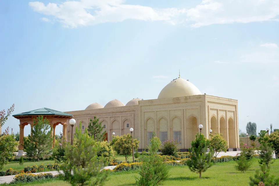
district · The Kohitang mountains, Zarautsoy rock art and Bronze Age Djarkutan
district · Home of Dalverzin Tepe and its gold hoard
district · Where two rivers meet: Old Termez and its Buddhist monasteries